- Annapurna Circuit: Part 1, Trekking 101
- Annapurna Circuit: Part 2, Gorge-ous
- Annapurna Circuit: Part 3, High Valley of Manang
- Annapurna Circuit: Part 4, Up & Over
- Annapurna Circuit: Part 5, Kali Gandaki
- Annapurna Circuit: Part 6, Hot Springs and Pink Mountains
- Annapurna Circuit: Should You Hire A Guide
- Annapurna Circuit: How Much Does Trekking the Annapurna Circuit Cost?
Day 1: Besi Sahar to Bhulbule – 17 Mar 2010
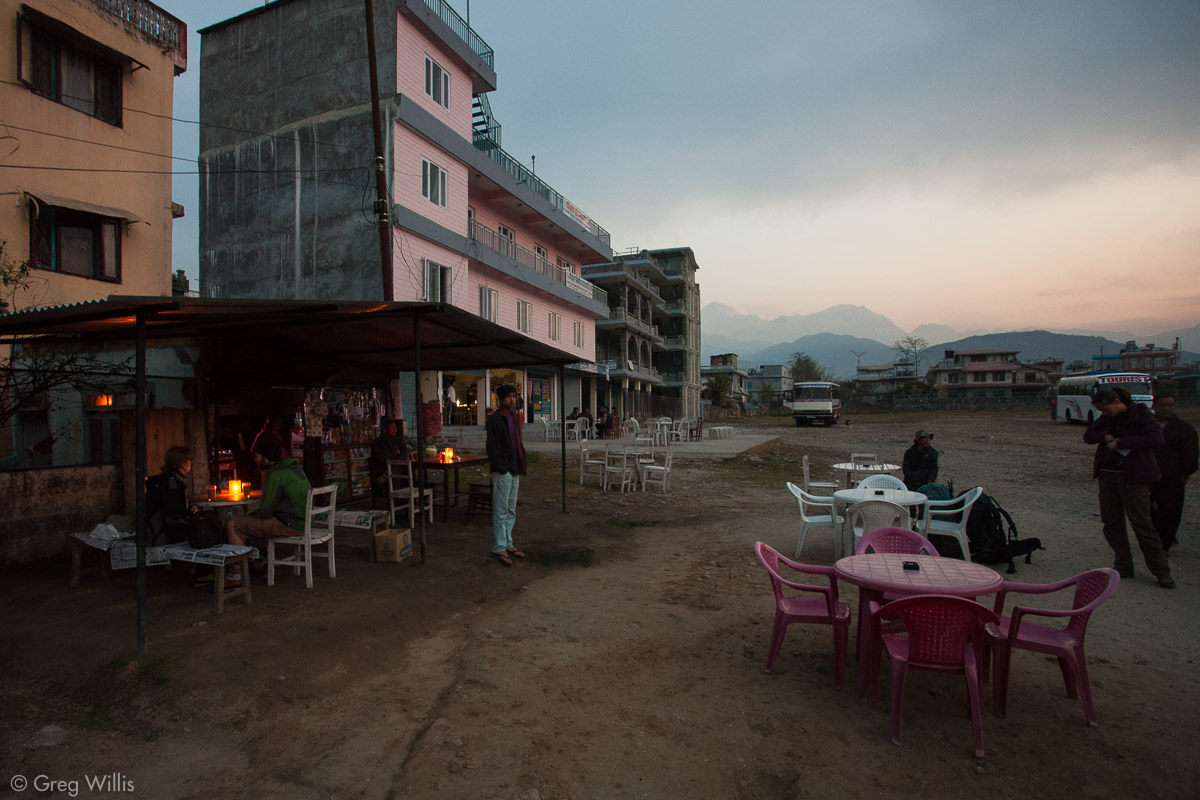
In the blue light that marks the start of dawn I’m drinking tea with Devendra, our guide, and Ari, our porter, at the empty dirt lot that is the Pokhara bus station.
Heather waits on the bus. The cramped cab ride from our hotel a few minutes earlier was just a preview for the seemingly miniature bus interior, so I was enjoying the last moments of leg mobility. As the light grew, more cabs arrived and the bus filled up. I finished my tea and wedged myself into the seat next to Heather back inside the bus. After two days of flying and two nights in Pokhara, the undersized engine started up and our Annapurna Circuit (AC) trek was underway.
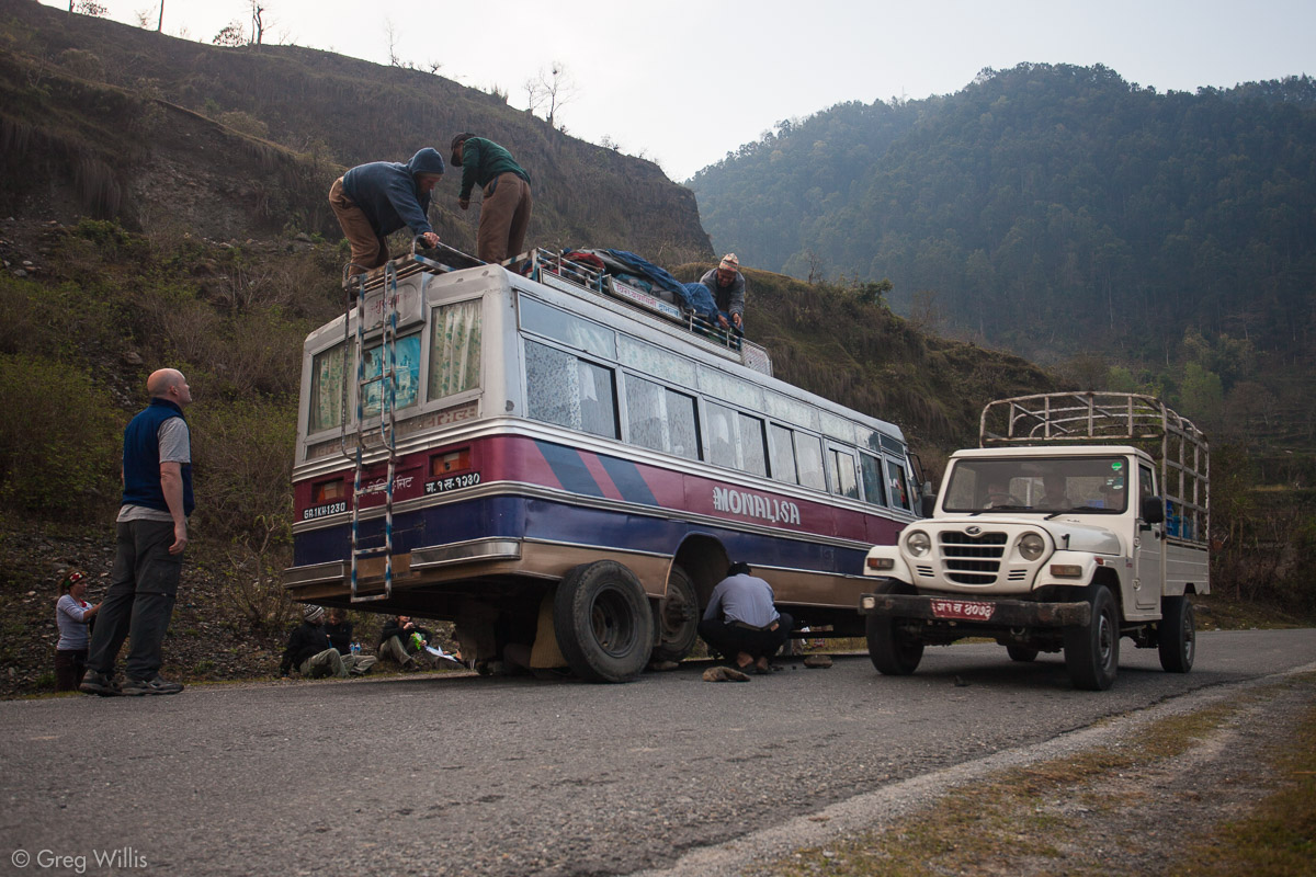
A flat tire extended the normal five hour bus trip from Pokhara to the start of the trail in Besi Sahar by a couple of hours. The bus, is seems, was no stranger to flats, its two spares also being flat. But things just kind of work out in Nepal, someone hitched a ride on a tractor and brought back another tire.
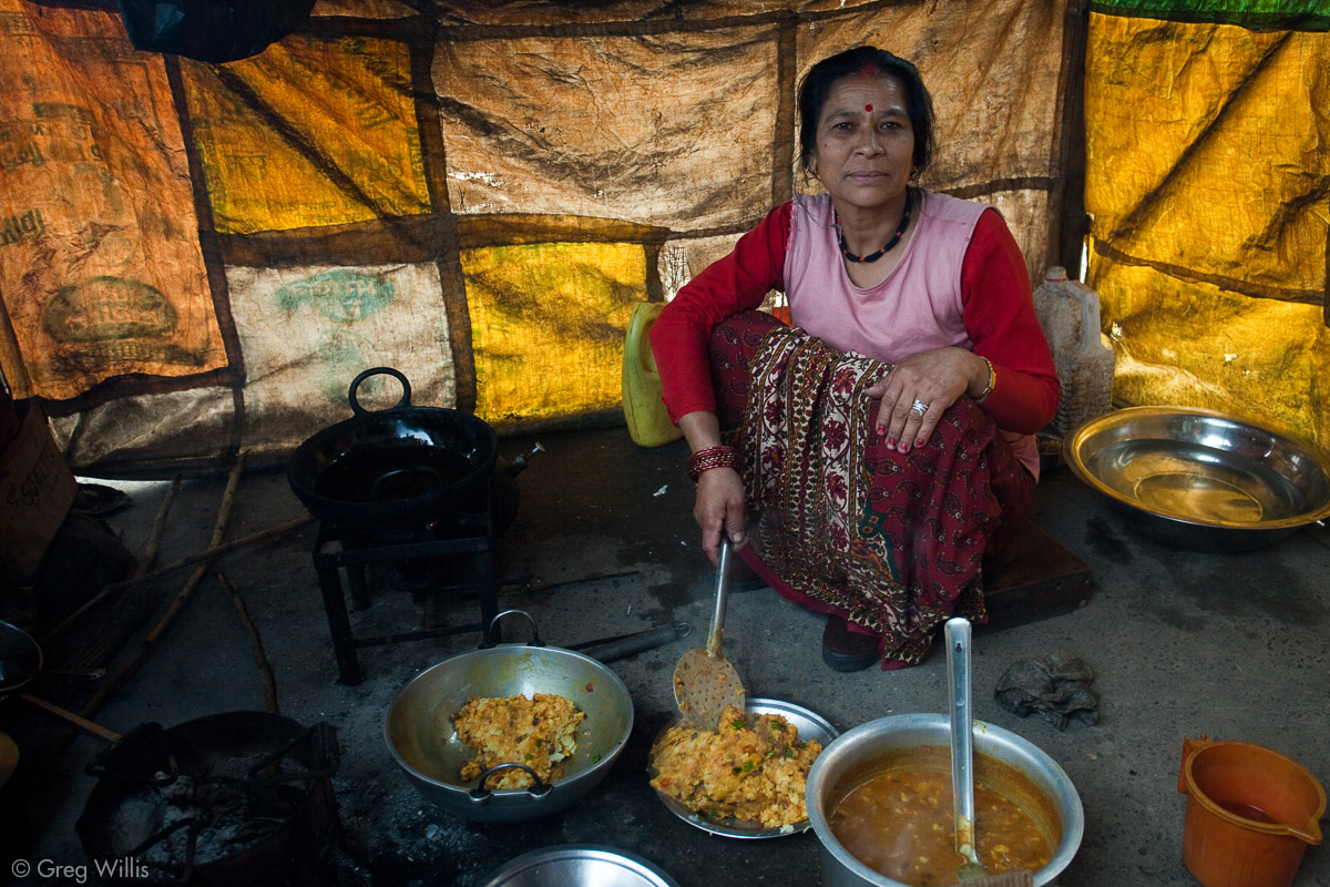
In the meantime, everyone sprawled out on the side of the road. We walked with Devendra to Prithvi Raj Marg, the village beside which the bus sat. A woman cooked us curry in her makeshift metal-roofed and rice sack walled kitchen outside the storefront that was also her home. So we made the most of the two hour delay, meeting a couple of fellow travelers in her small restaurant.
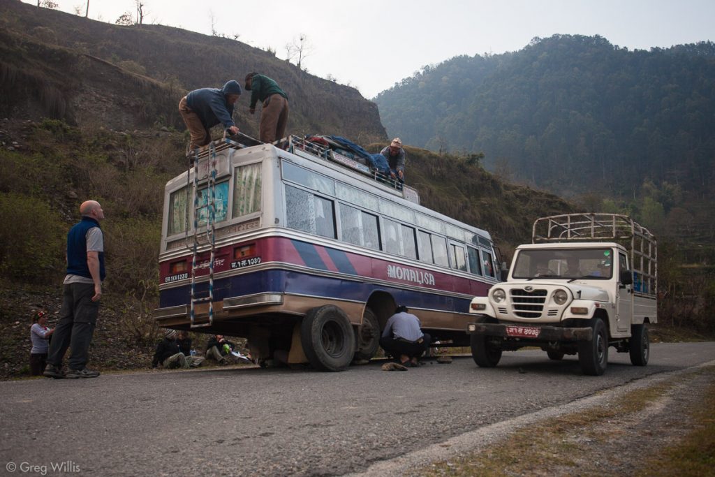
Flat tire on our bus 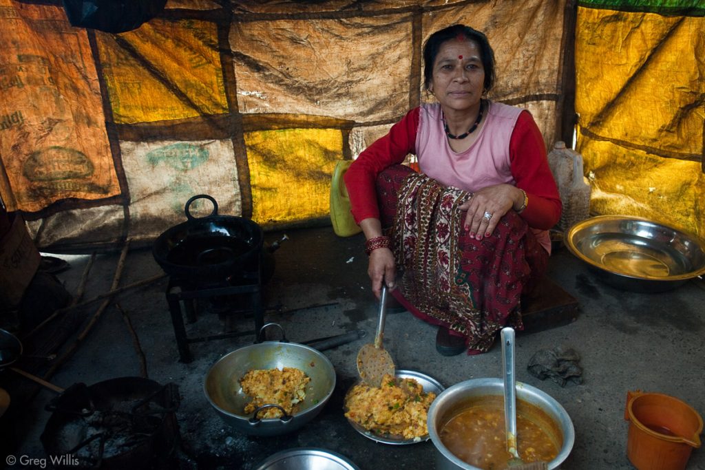
The woman who cooked the breakfast curry in Prithvi Raj Marg. 
The kitchen in Prithvi Raj Marg.
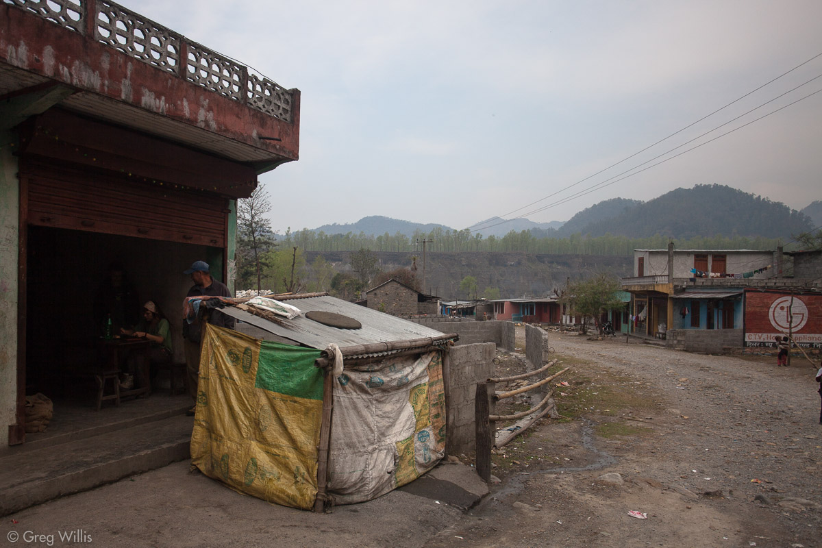
We unloaded our gear at Besi Sahar at 12:30, made our way through the busy town. We had lunch at Throungla Guest House & Restaurant. We stepped off of pavement and began trekking at 14:00.

End of Besi Sahar, end of pavement 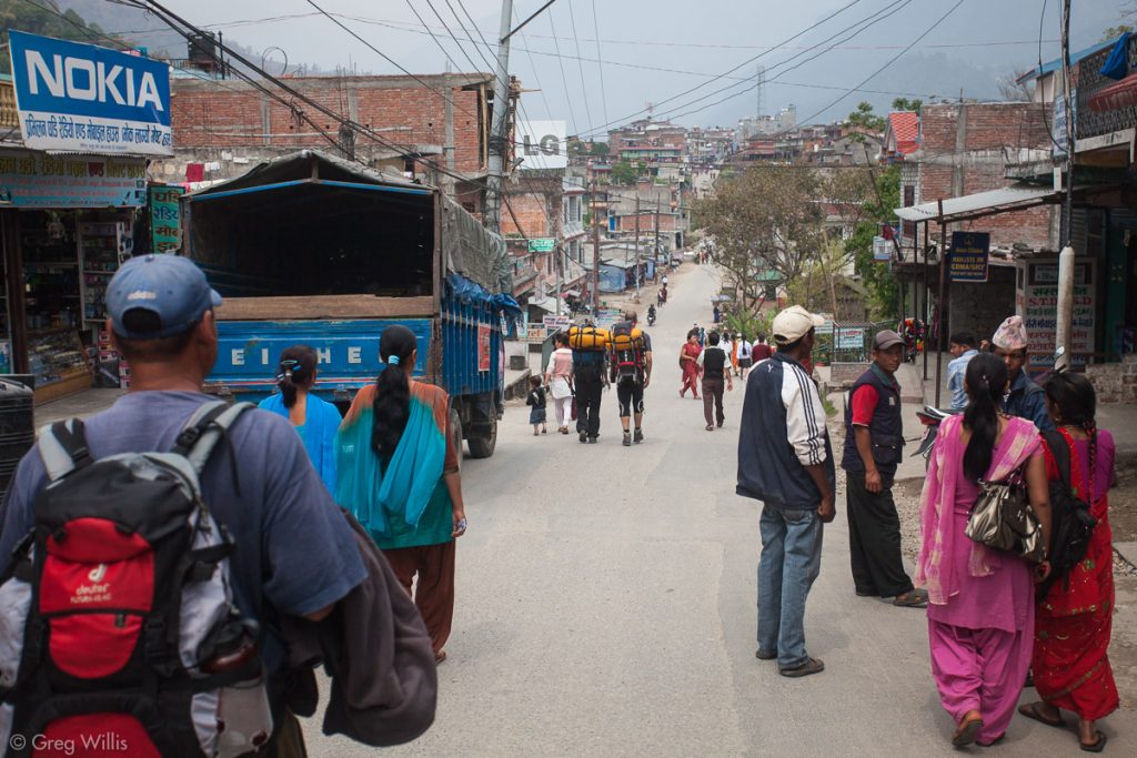
Heading north through Besi Sahar. 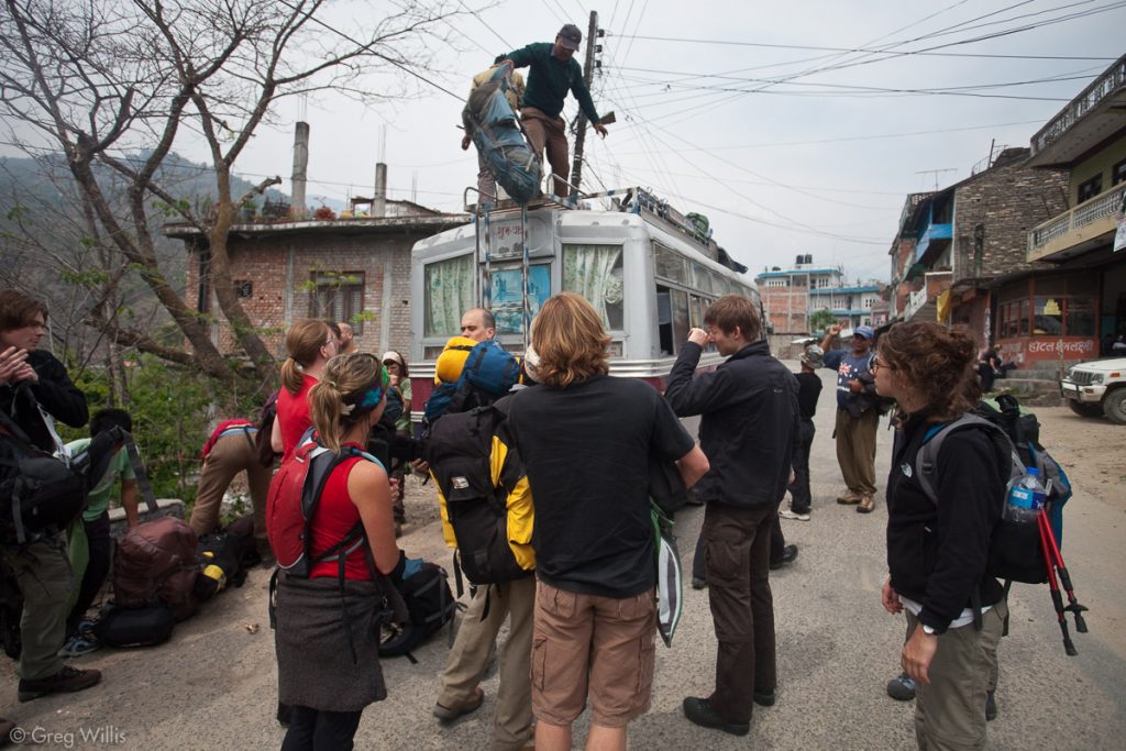
Unloading the bus in Besi Sahar.
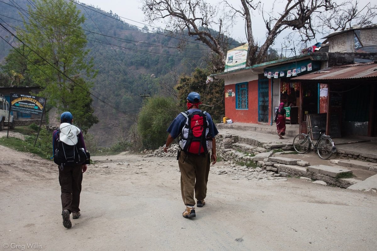
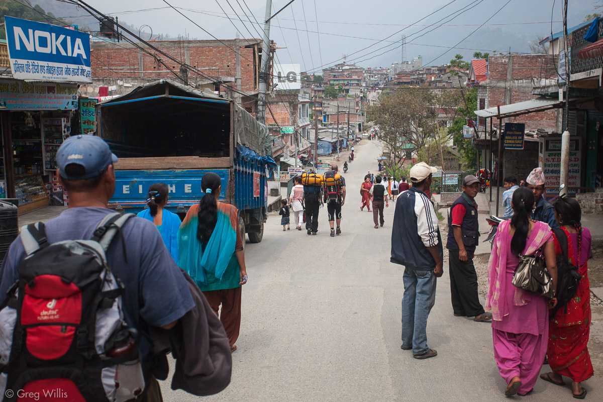

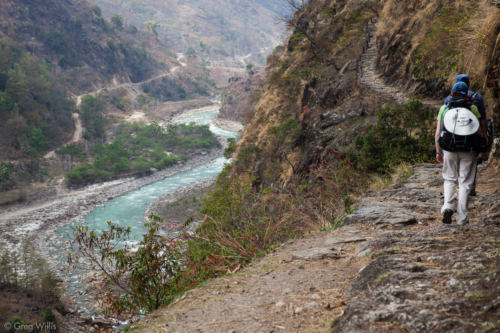
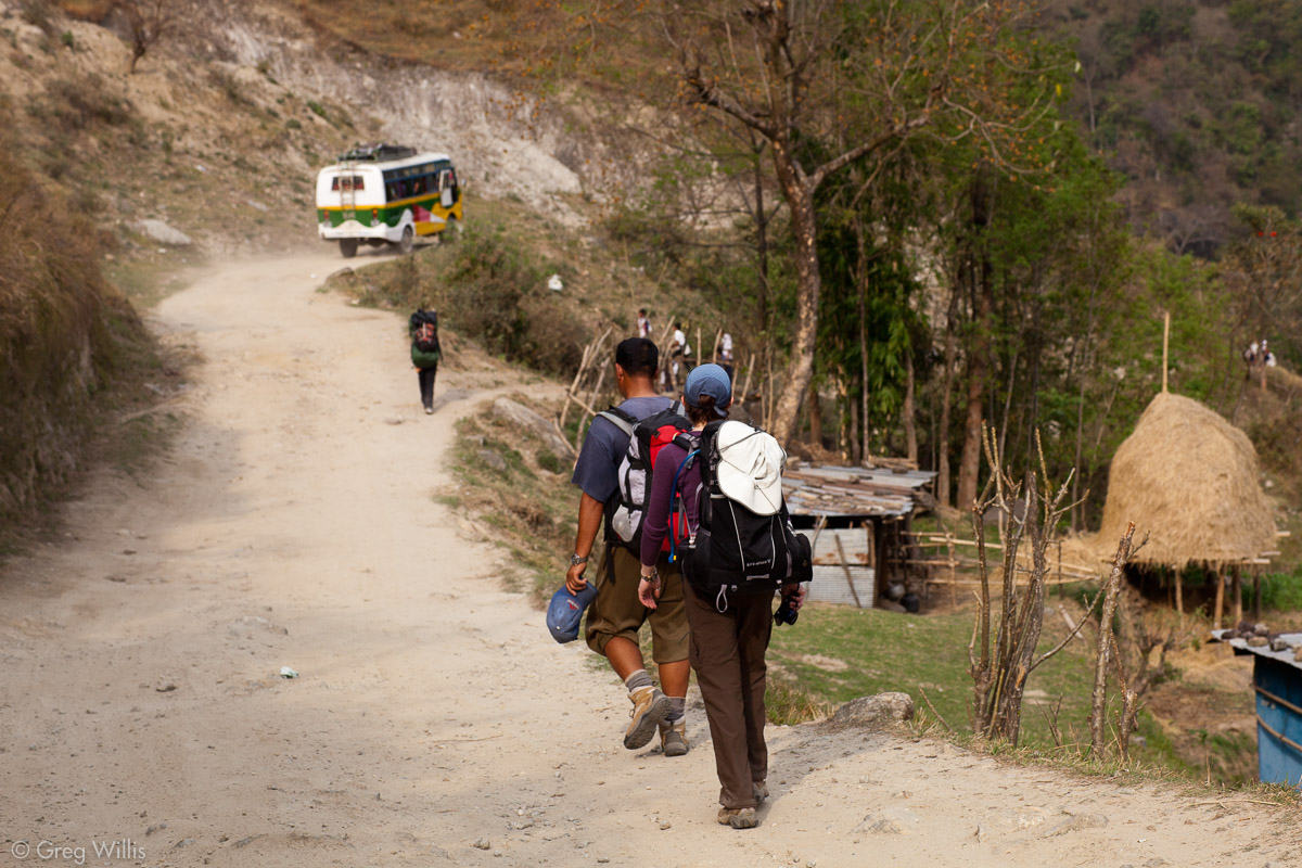
From Besi Sahar you walk along a dirt road that runs beside the Marsyandi River. Unfortunately, you share this road with frequent jeeps and busses. So you can add noisy & dusty to the hot, humid, & hazy weather of the mid-March Nepal lowlands. The traffic was a needless annoyance — take a bus and don’t bother to walk to Bhulbule, where the AC starts.
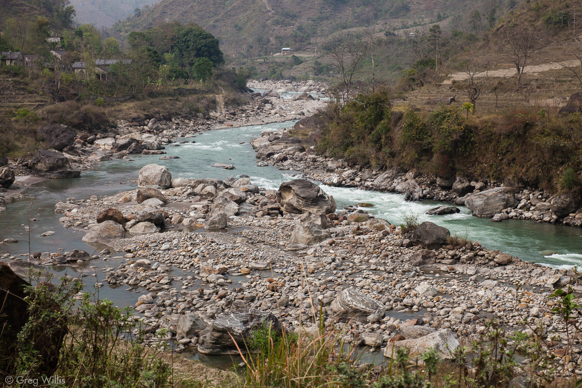
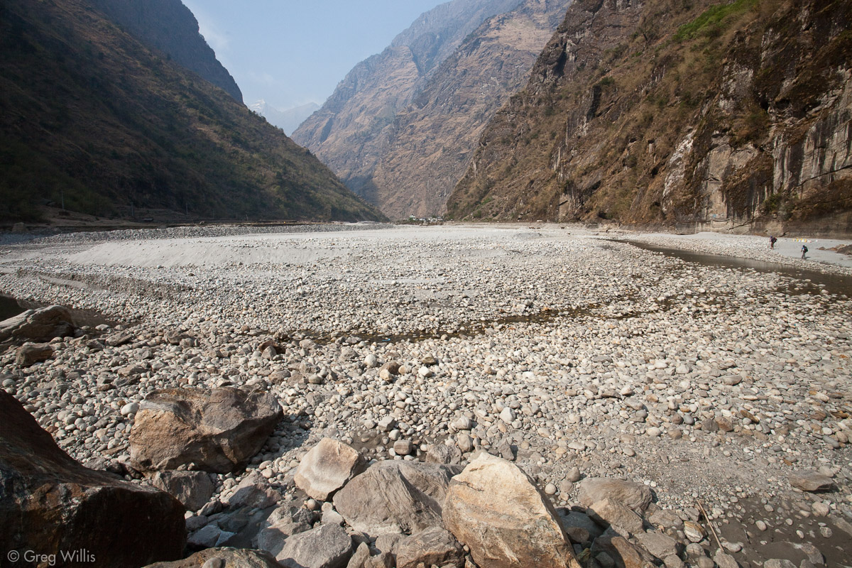
Nonetheless after months of planning and days of travel, it was good to be walking. The Marsyandi River forms a wide but steep-sided valley in the foothills here. Even though the river was at a low flow, there were almost constant rapids from the rocks of all sizes — from cobble to house-sized — in the bed.
Stone houses were frequent on both sides of the river, as was terraced farmland. March is the end of the dry season, so the greens were not as vibrant as the can be. A few trees were bare, but most had their leaves — and we even saw ripening bananas on a banana tree.
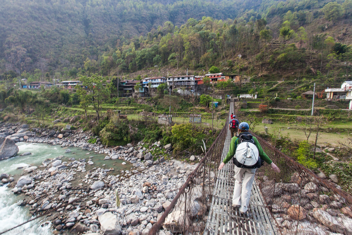
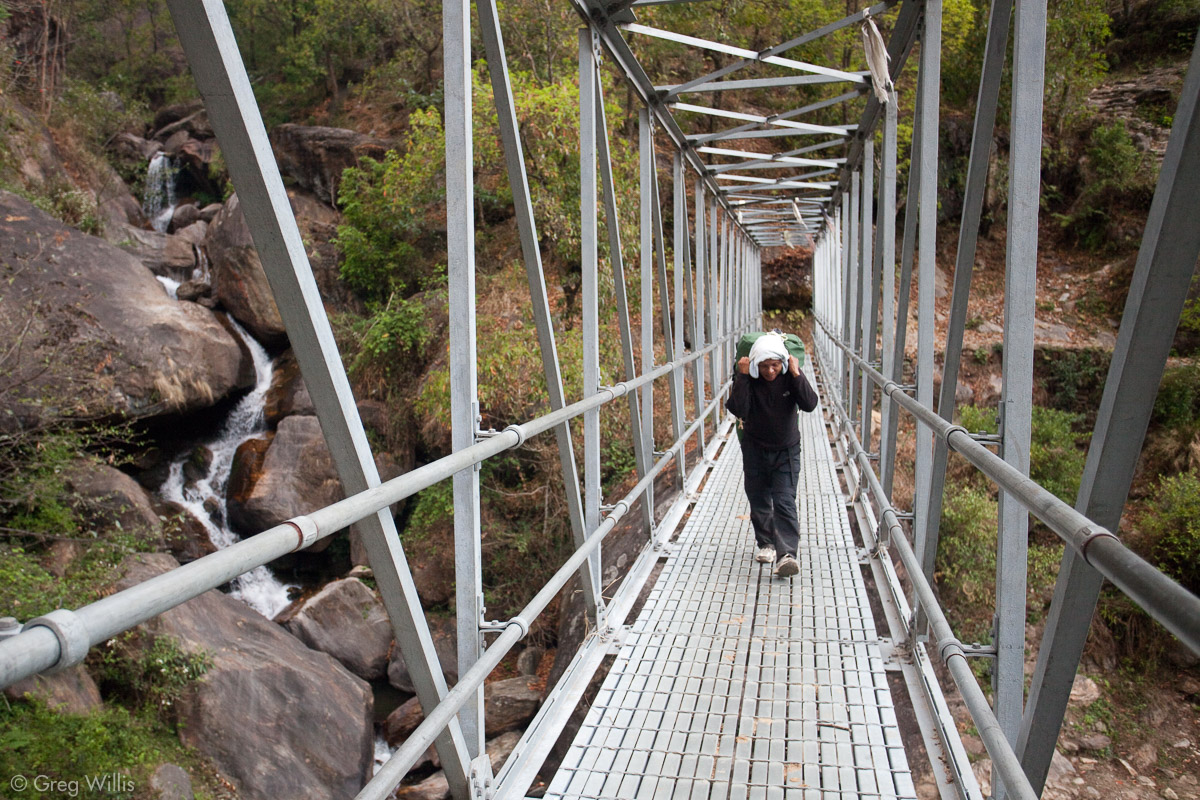
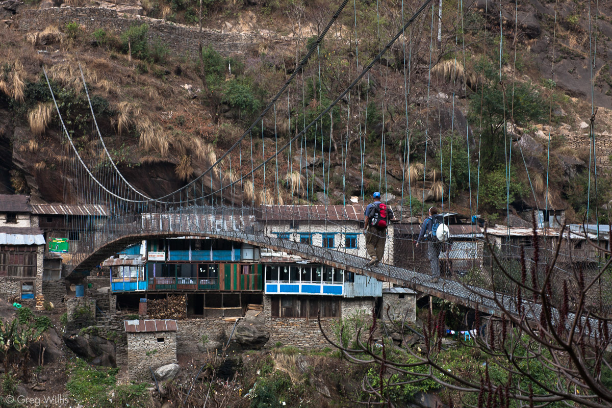
At Khudi we crossed our first of countless suspension bridges.

Marsyandi River 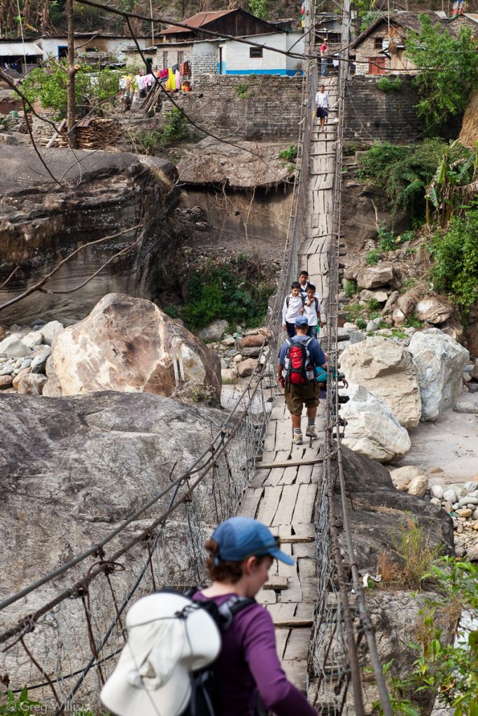
The suspension bridge into Khudi – the first of many 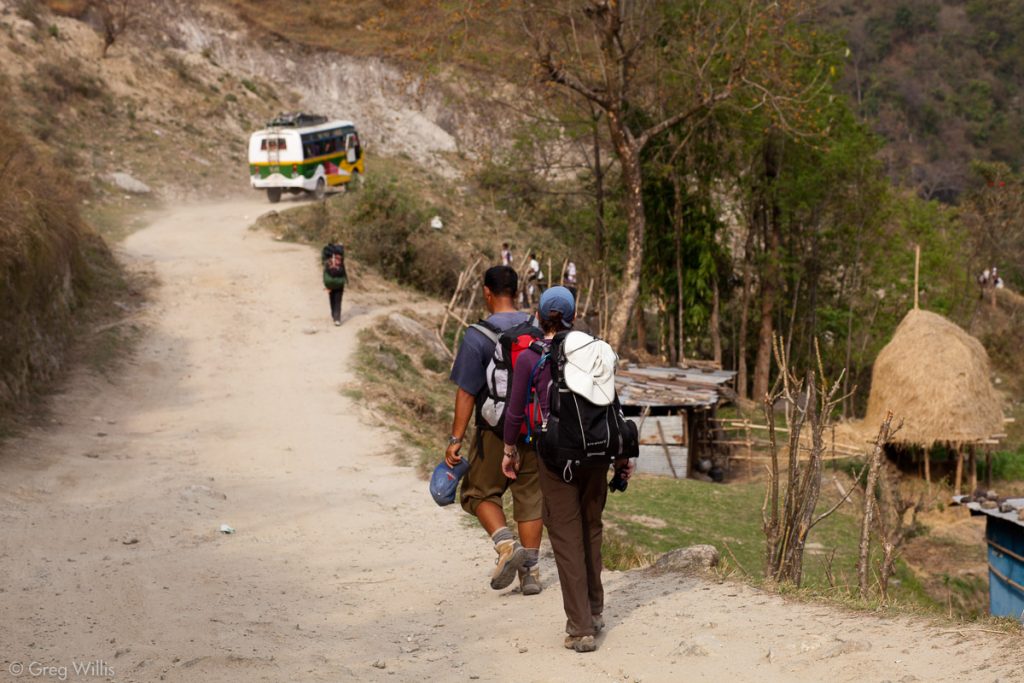
Bus on the road from Besi Sahar to Bhulbule

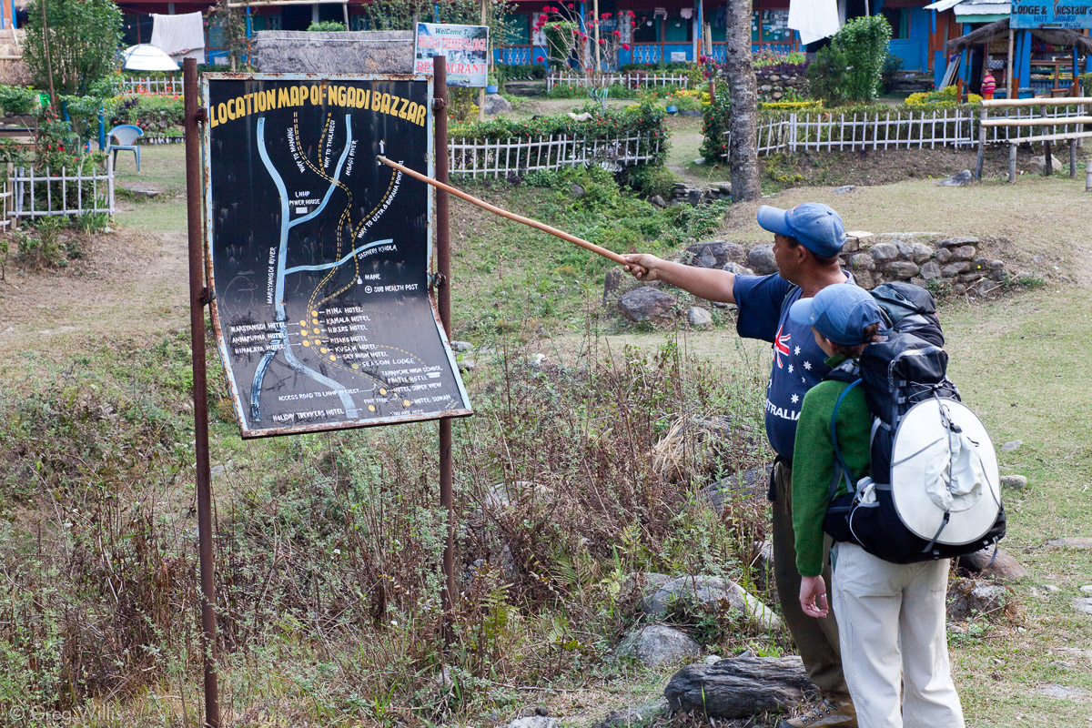
And about an hour later at Bhulbule officials stamped our permits and we were officially on the Annapurna Circuit. And due to our late start, we went no further — staying at Thorang La Guesthouse for our first night on the trail.
- Places: Pokhara – Besi Sahar – Bhulbule
- Time driving: 6:30 hours
- Time walking: 3:00 hours
- Temperature: 85°F on trail
- Elevation gain: 130′
- Lodging: Thorang La Guesthouse, Bhulbule
Day 2: Bhulbule to Ghermu – 18 Mar 2010
Our schedule for our first full day had little variation for days throughout the trek: wake at 07:00, breakfast at 07:30, pack up and start walking by 08:00. Stop at tea house mid-morning (10:30). Walk some more. Stop for lunch at 12:00. Resume walking at 13:00. Stop at tea house mid-afternoon (14:30). Arrive at the evening’s lodging by 16:00.
So a bit after 08:00 we crossed the nearby suspension bridge onto the left bank of the Marsyandi right after Bhulbule, thankfully leaving the road on the right bank for today’s duration.
In the lower elevations you get less haze and even blue shies in the morning. Near the village of Ngadi, the foothills parted and the white peaks of Manaslu stood before us. But with a turn in the path, the hills again closed in.
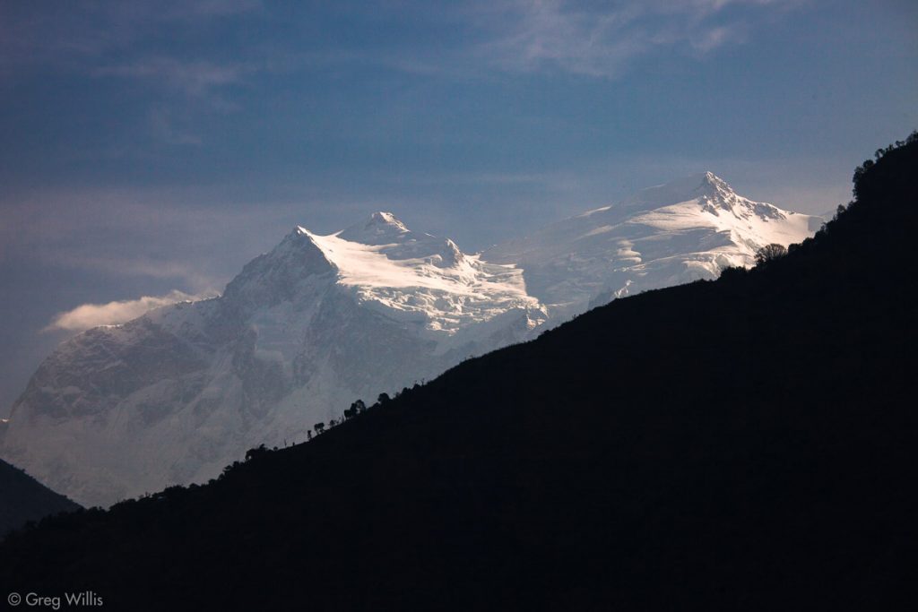
Manaslu from the village of Ngadi 
Village of Ngadi 
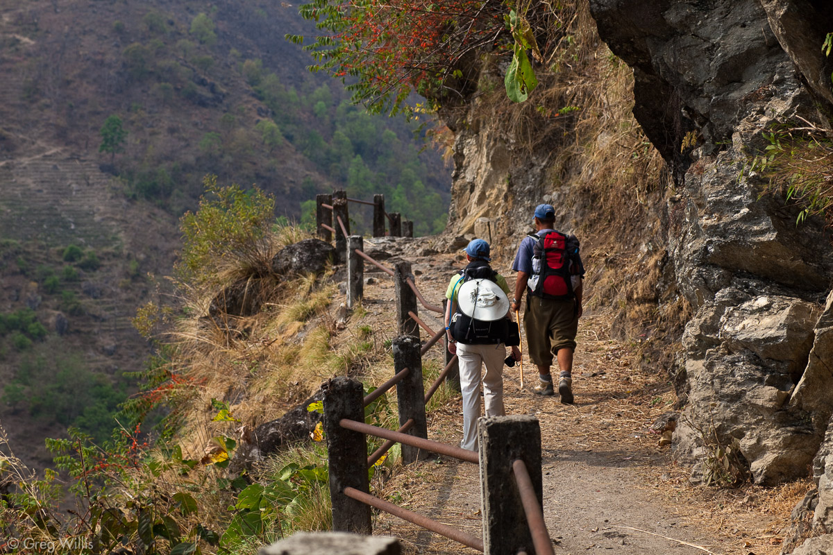
Devendra & Heather going through Ngadi 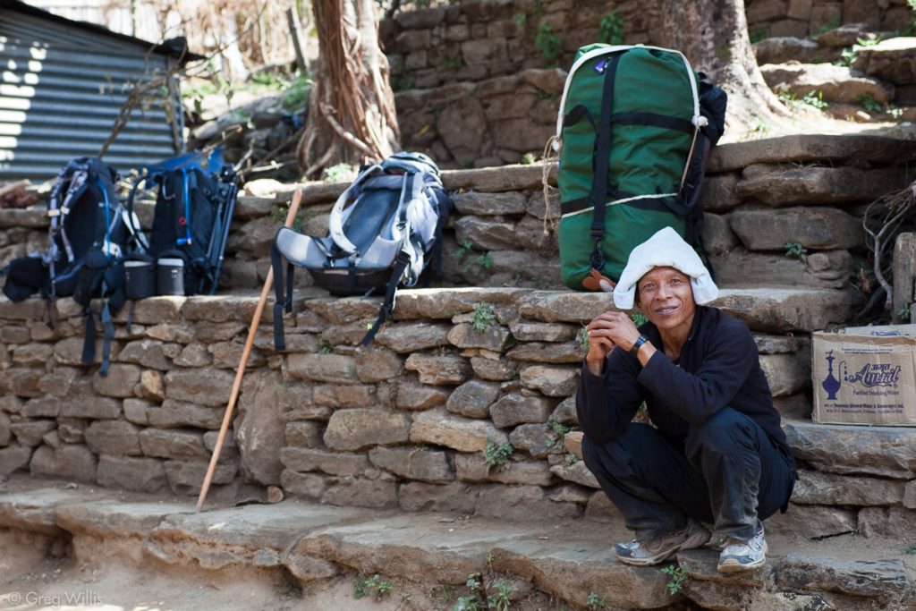
Our porter Ari on break as we stop for tea (ours is the green bag)


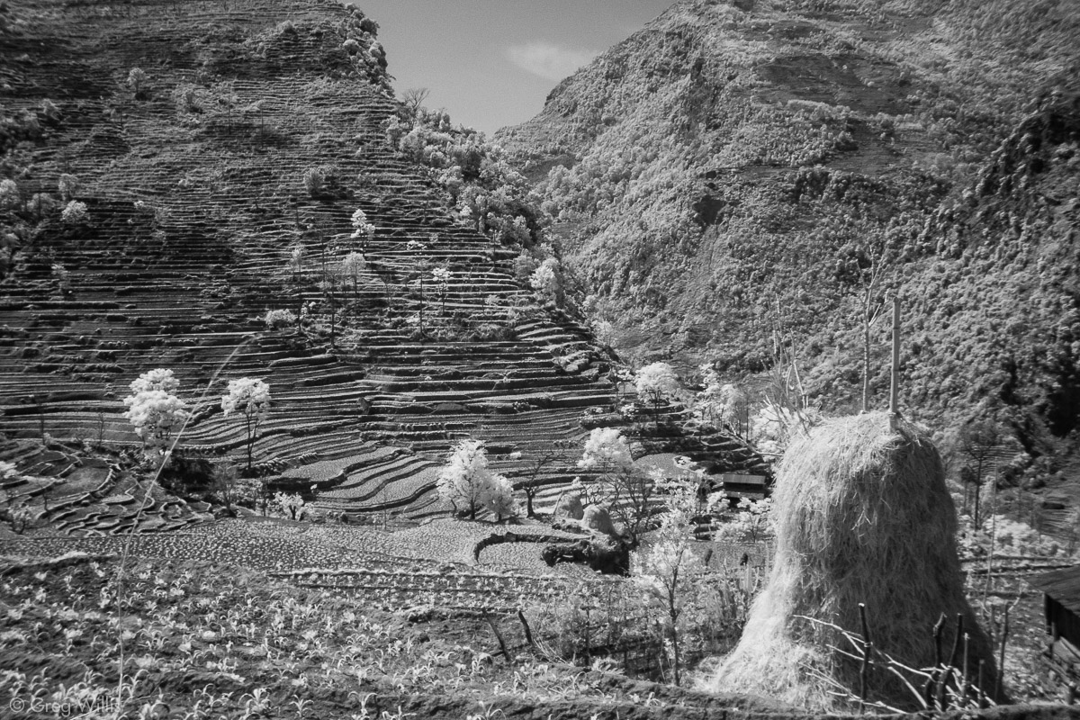
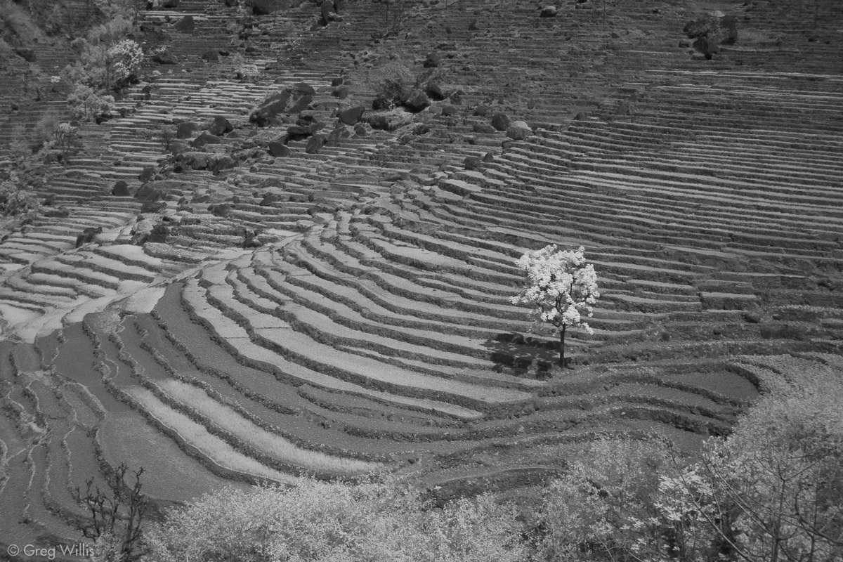
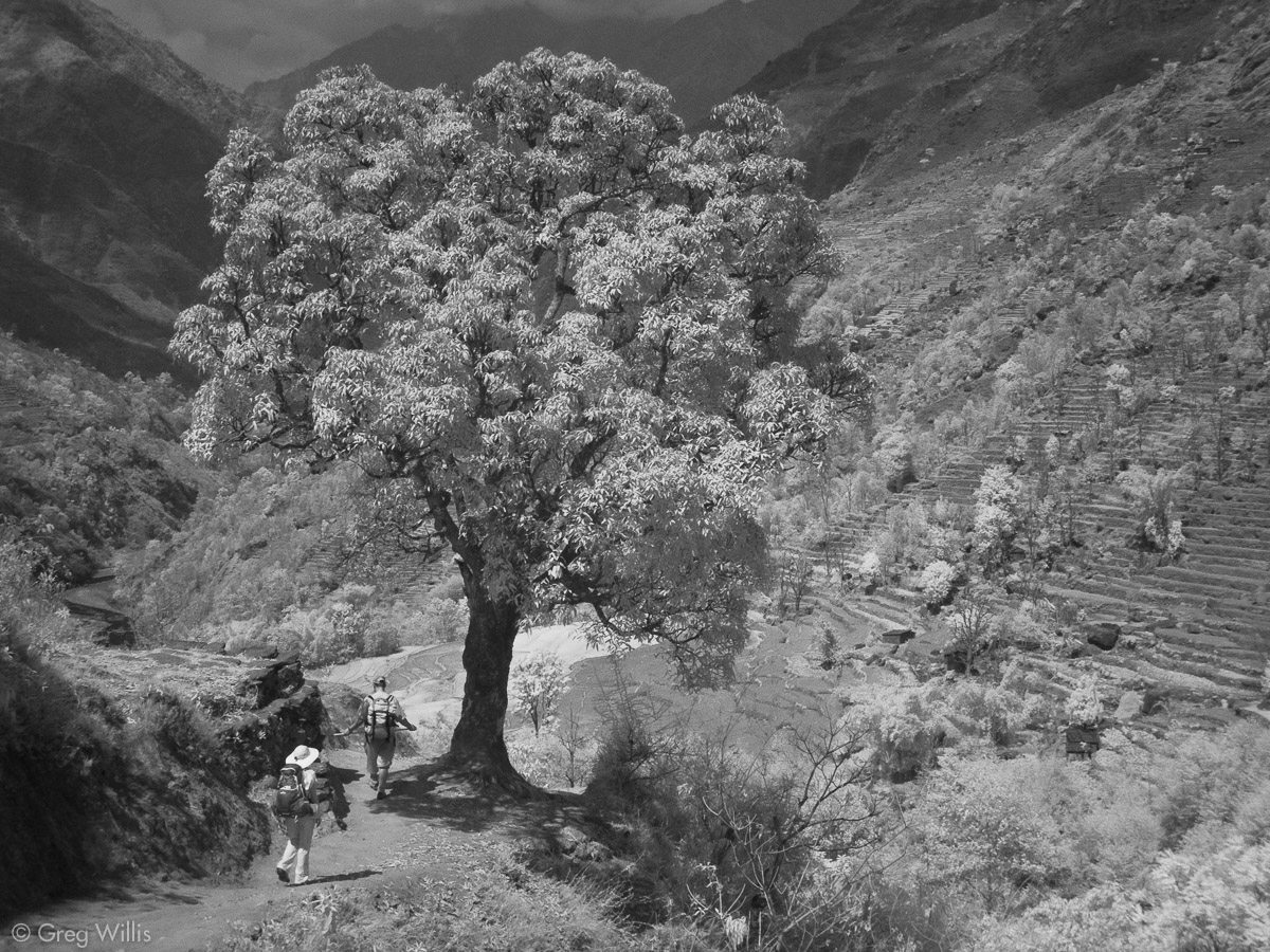
About halfway on the day’s journey a shoulder of the mountain comes all the way to the river, ending in a precipice that no trail could cling to. The village of Bahundanda sits 1000′ atop this shoulder between the mountain and the precipice. The winding upward path requires the first real effort thus far. The trail seems almost as steep as the many haystacks that litter the terraced fields. Lunch was at the aptly named Hotel Superb View & Top o’ the Town Restaurant, then down we went as the trail descend again near the river. The elevation of Bahundanda gave us the first chance to look down on a good length of the river and far up the valley as it rose into the mountains.

Bahundanda haystack 
Tree on terraces near Bahundanda 
Tree on downhill trail. 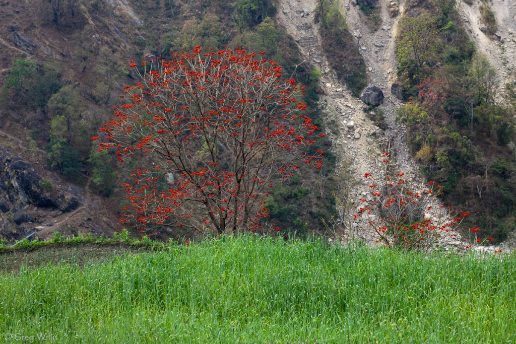
Flowering tree
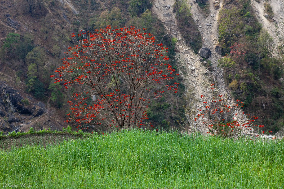
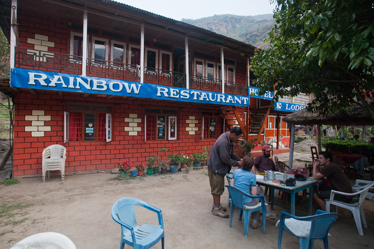
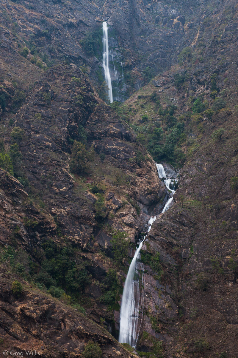
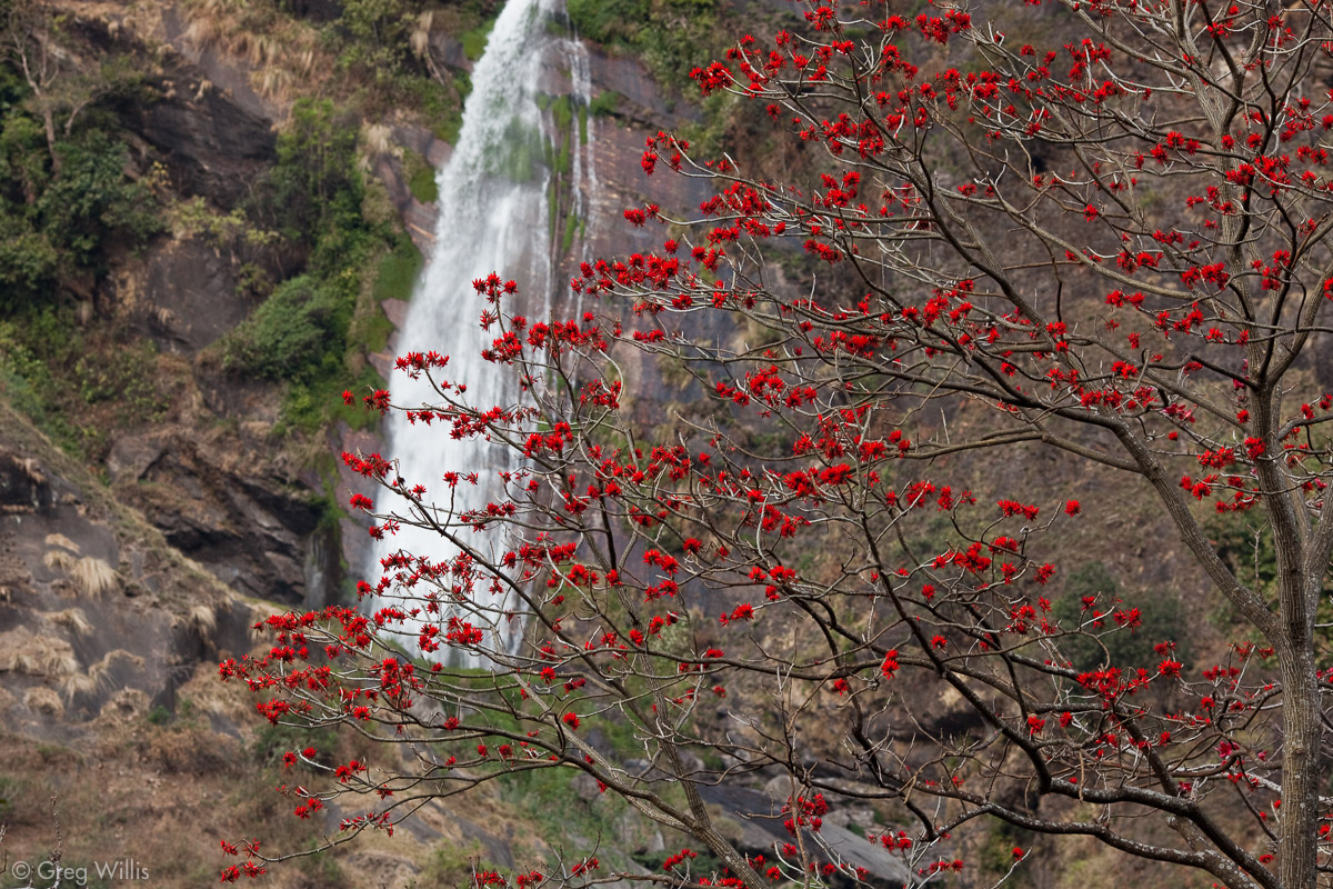
As we walked on, the valley narrowed and the trail became more up & downy. We ended the day at Ghermu’s Rainbow Restaurant and Lodge just opposite a waterfall which was remarkable despite its low water.

Waterfall, bridge, & Ari. 
Trail between Bahundanda and Ghermu 
Trail between Bahundanda and Ghermu 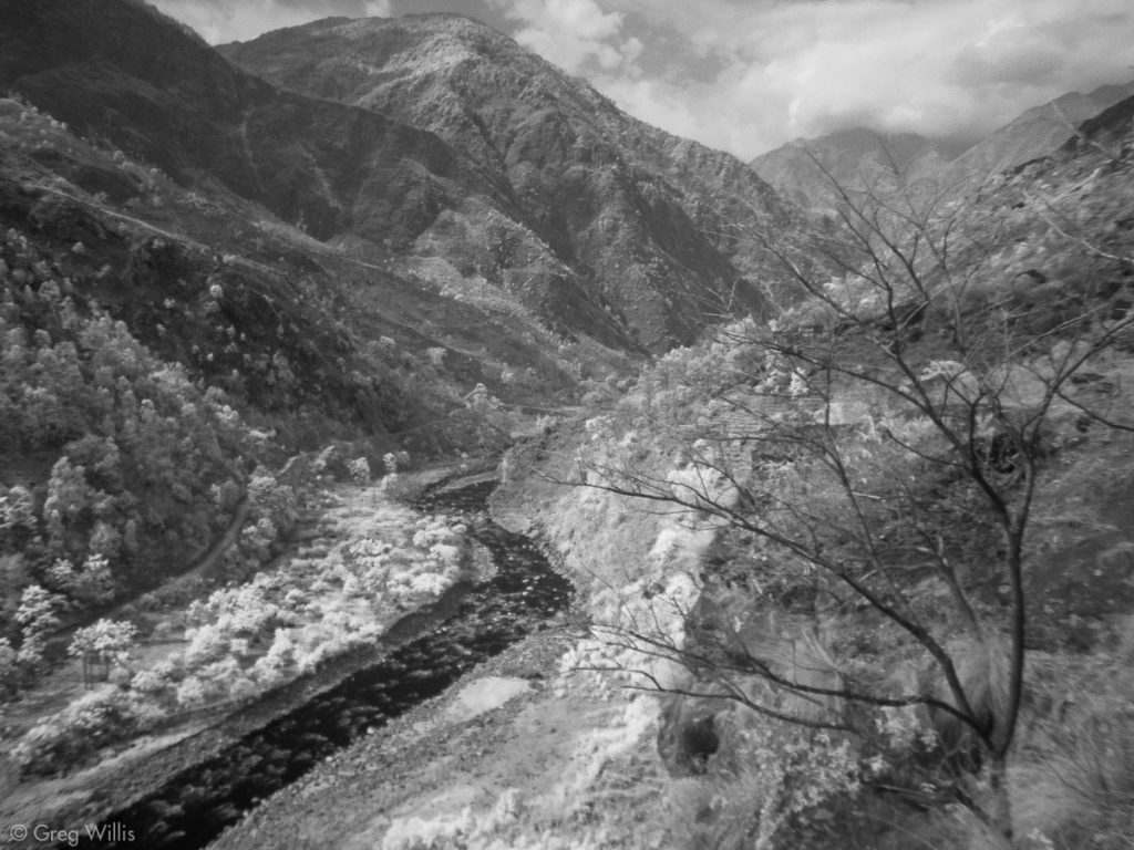
Marsyangdi river 
Rainbow Restaurant and Lodge, Ghermu 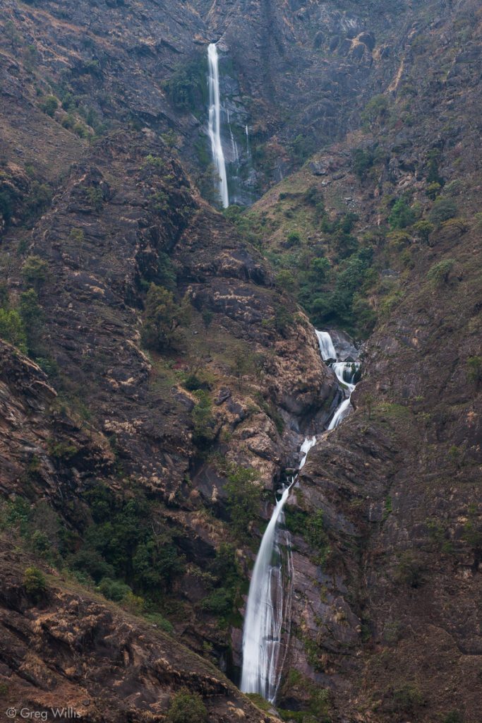
Waterfall opposite Ghermu.


As the elevation rose, so the people began to change: the South Asian Hindu culture and people of the lowlands became less frequent and the Tibetan Buddhist people with more Asian features became the majority. Along the trail near Ghermu it varied depending on village, but within a day or two it would be all Tibetan.
- Places: Ngadi – Bahundanda – Ghermu
- Time walking: 8:00
- Temperature: 65°F-83°F
- Elevation gain: 1,000′
- Lodging: Rainbow Restaurant and Lodge, Ghermu
Day 3: Ghermu to Tal – 19 Mar 2010
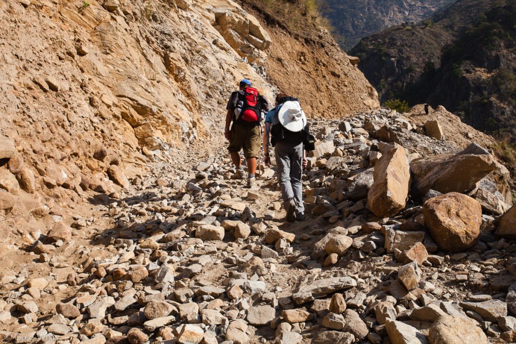
Almost as soon as we set out in the morning, we crossed the river and joined up with the road again. The road was on the west side of the valley in the morning and the trail on the east side in the afternoon, so the mountains were unable to provide any shade for the whole hot day. And the worst part of the day was the road construction. We had come past where vehicles could travel along the road, but that only meant we traded the dust and noise of traffic for the dust and the incessant rattling of jackhammers.
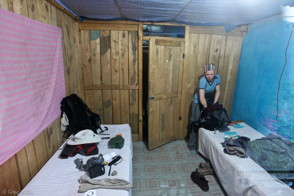
Room at Rainbow Restaurant and Lodge, Ghermu 
Waterfall and blooming tree 
Suspension bridge to Syange

Just beyond Syange we encountered a group of young men carrying down another in a makeshift sling. The worker had fallen from removing the rock and had sustained head and other injuries. Hours later we passed where he had fallen and men continued to jackhammer the almost sheer face of the rock. They had not even the most basic safety equipment: no ropes or harnesses, no helmets, not even footwear beyond flip-flops. We heard later that the man did not survive. The road to Tal will be a marvel and a testament to sheer human effort, but it will have been paid with a heavy human toll.
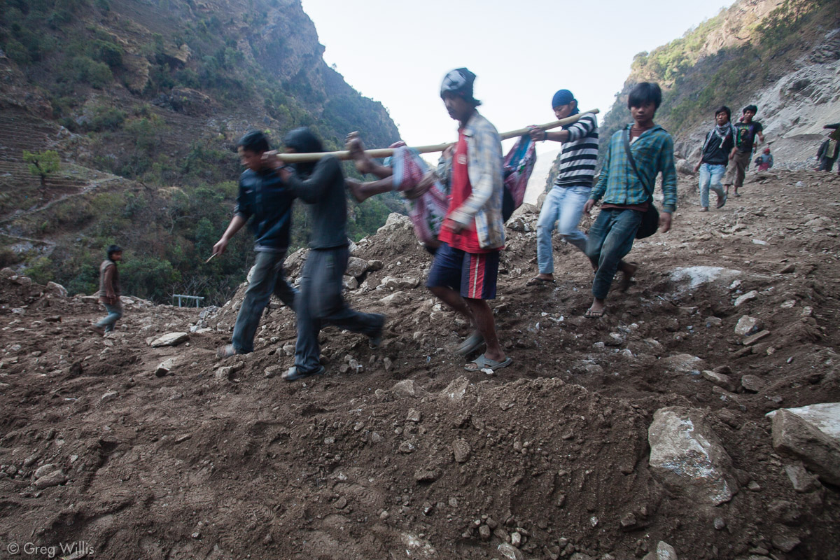
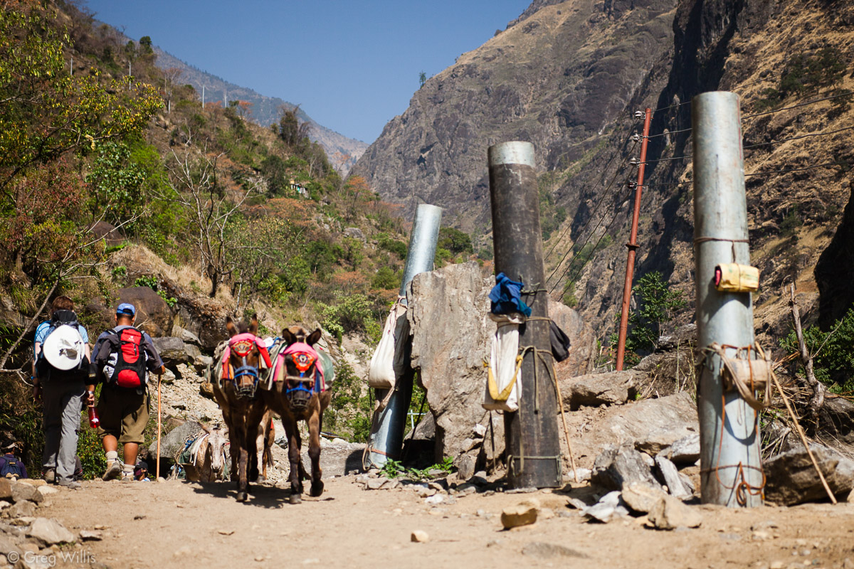
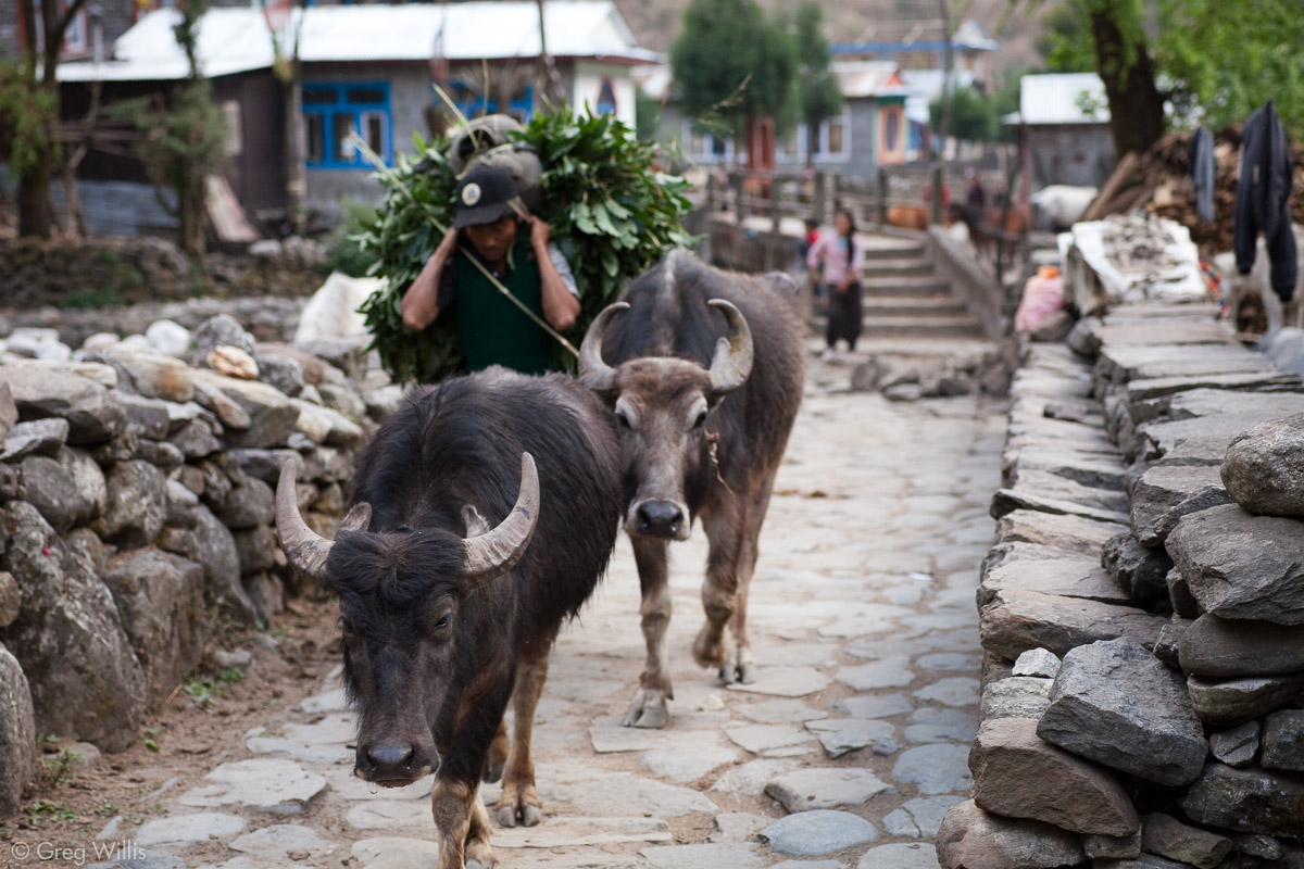
Of our fellow travelers on the trail — donkeys and porters — the porters were the ones who would not push you into the river far below. Once you hear the bells of the donkey train, you’d better move up the mountain side of the trail as far up as you can. For donkeys don’t give a shit. Loaded down with almost more than they can bear, their only thought seemed to be the next stop. And if you happen to be standing near, neither the donkey nor his muleskinner care if a sack of rice causes you to careen downwards.
The porters did share the same facial expression as the mules. And they were every bit as burdened by their loads. A group was carrying metal pole sections for running electricity. Each porter’s section weighed 120 pounds, and none of them wore anything but flip-flops. I had a day pack and hiking boots, which might explain the tourist-like expression on my face.
Trail 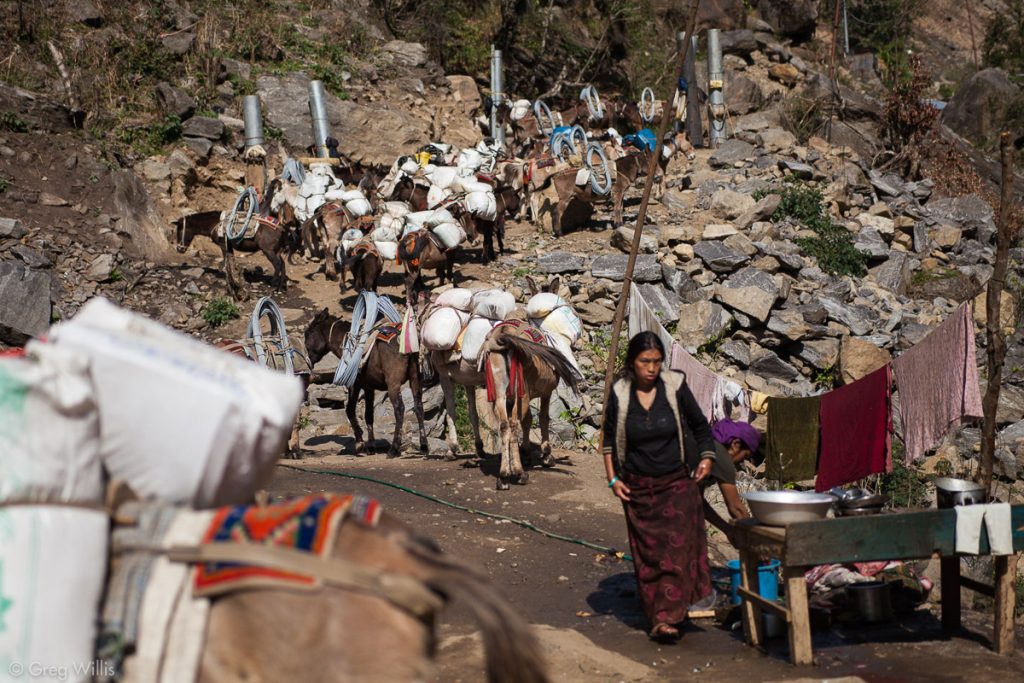
Donkey train break time. 
Donkeys and electric power poles the porters carried


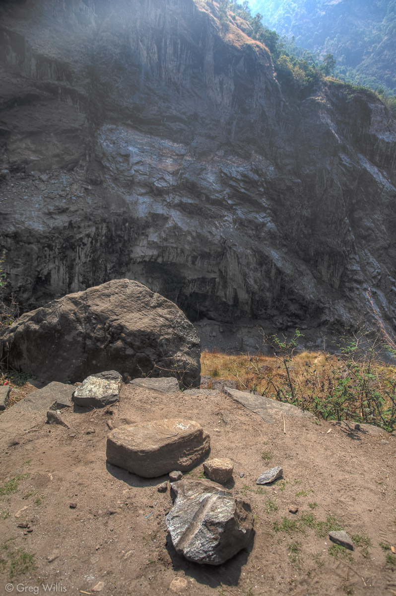
The road construction continued across the valley. We came upon a basketball-sized piece of rock on the trail: it had a boring hole and its clean face indicated that it had been removed from the steep valley side by dynamite. Our concern was that it had been blown from the total opposite side of the valley, above the river, and landed on the path where donkeys, trekkers, and porters frequent. A bit unnerving.
After you climb the last steep rise of the day we entered an unusually flat, gravel-filled plateau. Wedged in between tall & steep mountainsides, the town of Tal sits on this former lake bed that filled in thousands of years ago.

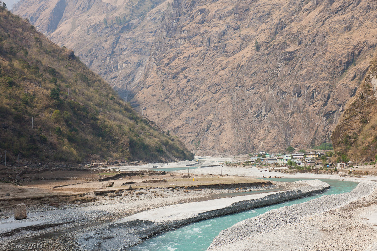
We passed under our first kani (gate) and spun our first prayer wheel of the trip. Tal marks the start of the majority Buddhist part of the AC, as well as the entrance to the Manang district of Nepal. We stayed at the south end of town in Tilicho Hotel and Restaurant.
Tal is a proper town, larger and more interesting than the villages we’ve passed through. Tal has a bit of a frontier feel to it: horses and donkeys pass through constantly; numerous guest houses full of trekkers; shops aplenty selling gear. But it’s also a bit raw: rusted corrugated metal roofs, dirt and stones for ground cover, garish colors on the balustrades to catch the eye. It didn’t strike me a a place to linger more than a night, but after miles of just hamlets it felt positively cosmopolitan.
- Places: Jagat – Chamje – Tal
- Time walking: 8:00
- Elevation gain: 1,840′
- Lodging: Tilicho Hotel and Restaurant, Tal

Leave a Reply