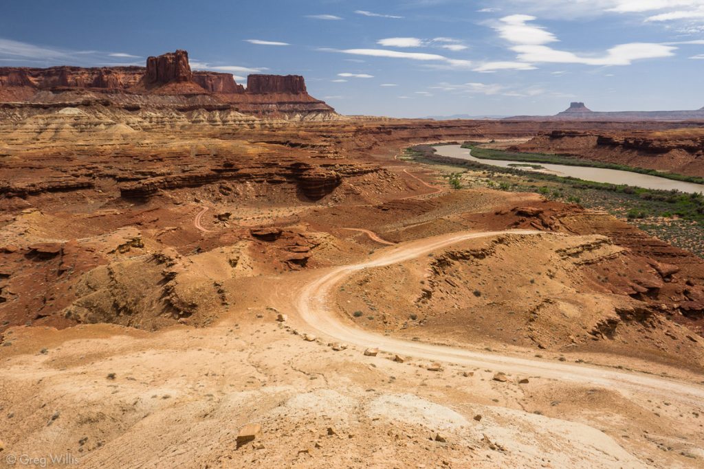
The White Rim Road is an unpaved four-wheel drive (4WD) road in the Island in the Sky section of Canyonlands National Park. Most of the road travels along the White Rim sandstone, giving it its name. The road follows above both the Green and the Colorado rivers, giving exceptional views of the rivers and the surrounding geological formations. You can experience this road by 4WD vehicle or by bike. This page is about biking.
Contents
Essential Facts
- Route: From the Visitors Center to the top of Horsethief Trail
- Distance: 81.0 mi / 130.4 km
- Difficulty: moderate mountain biking
- Time: 4 days, 3 nights
Why Do this Trip
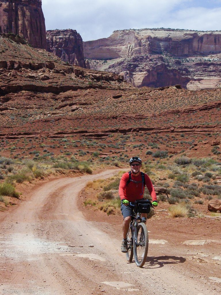
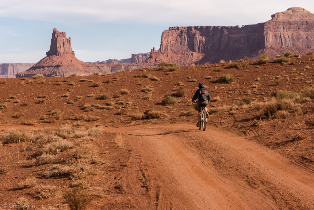
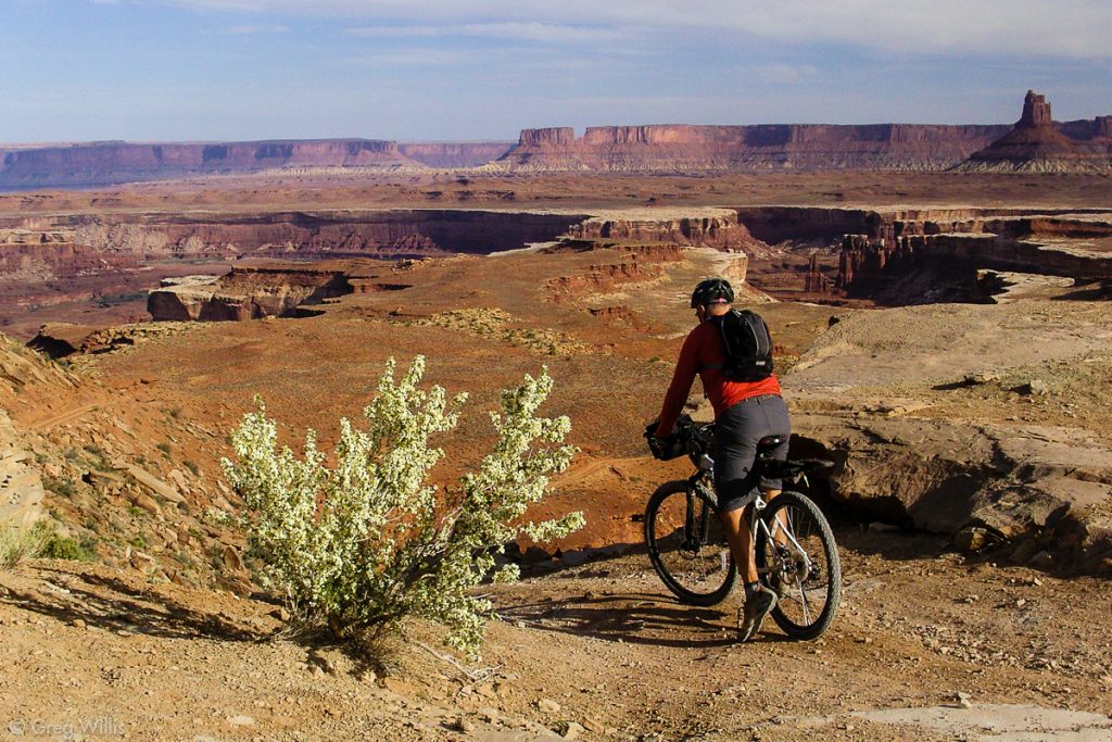
Because it is a scenic adventure in a remote and unbelievably beautiful landscape. Arches, hoodoos, monuments, canyons, and spires are not just sights, but are markers of your progress. Biking the White Rim Road gives you a wonderful opportunity to explore Canyonlands at your our pace & power. And you are in the landscape in ways you cannot be with a 4WD trip.
How to Do It
We did a 4 days, 3 nights itinerary on mountain bikes with a support 4WD vehicle. With the water you have to bring, any unsupported bike trip would have to be less days. And even supported, 81.0 mi / 130.4 km is far to hike on a jeep road.
Paperwork
You have to camp in a campground, no dispersed camping allowed. The ten campgrounds, with 1 to 4 sites each, average around 8 miles between them. So when planning your itinerary, pace out your day’s milage to match your abilities. Especially in the spring & fall, make a reservation – it’s the only way to guarantee being able to do the trip at all.
Reservations: Recreation.com handles the bookings. The backcountry overnight campsites become available in Canyonlands on the following dates:
- 10 Mar-9 Jun (spring) opens on 10 Nov
- 10 Jun-9 Sep (summer) opens on 10 Feb
- 10 Sep-9 Dec (fall) opens on 10 May
- 10 Dec-9 Mar (winter) opens on 10 Aug
Reservations open at 08:00 Mountain Time, so mark your calendar, set your alarm, and get those campsites.
Physical Training
I am not a mountain biker, or much of a biker in general. As you could see from the activities on this website — most of what I do, I do with two feet on the ground. So for this trip I had to get into better bike-shape. For daily exercise, I was biking about 7.0 mi / 11.3 km miles a day outside. I kept doing that and added on longer trips once a week about six weeks before: starting at 15.0 mi / 24.1 km and ending with 25.0 mi / 40.2 km. The longest day in our itinerary was 29.0 mi / 46.7 km, so you should be able to ride close to that distance before you go.
Gear
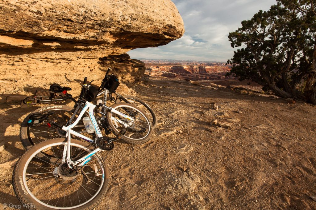
Bikes. We had hardtail mountain bikes. Clare rented a full-suspension one from Poison Spider Bicycles in Moab. I think either are fine. I had no issues with the hardtail.
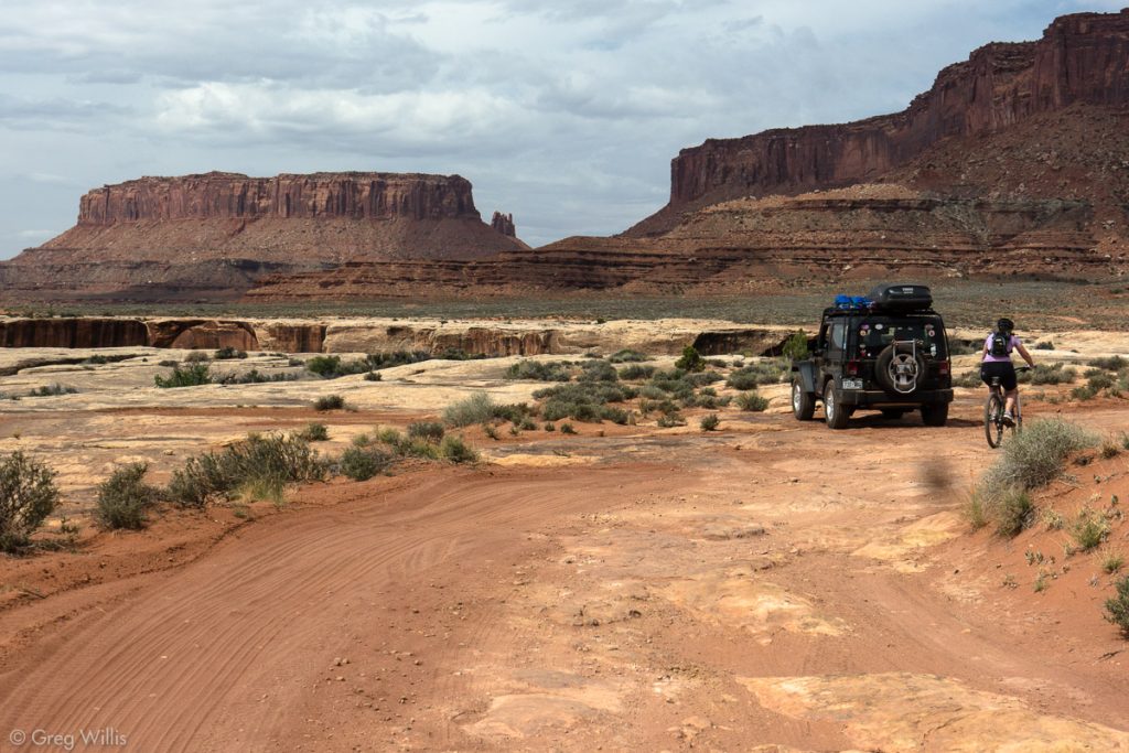
Support vehicle. It’s a moderate 4WD road, so take a vehicle that can do that. We had a Jeep Wrangler, but any stock high-clearance vehicle should do the trick for normal conditions.
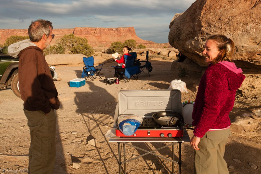
Camping. The usual camping gear should suffice. The campgrounds all have pit toilets, so you only need to worry about WAG bags in an emergency situation.
Water. There’s no water anywhere on the White Rim Road, so you’ll have to carry all of your water in the support vehicle — this is why you have a support vehicle. I suggest carrying 1 gallon (4 liters) per person per day, then some extra in case of emergencies. So for the four of us, we had almost 20 gallons (75 liters) of water in the jeep and on us at the start. I’m sure some folks would think that was a bit of overkill, but since the Jeep carried the load it wasn’t any additional burden. And I’m very cautious with water when it comes to desert activities.
When to go
Like most of canyon country, the spring (Apr – May) & fall (mid-Sep – Oct) are the best times because that’s when the temperatures are pleasant — highs 60ºF (16ºC) to 80ºF (27ºC) and lows 30ºF (-1ºC) to 50ºF (10ºC). Summer you can count on highs 100ºF (38ºC) or more along with thunderstorms. And winter is cold — highs 30ºF (-1ºC) to 50ºF (10ºC) and lows 0ºF (-18ºC) to 20ºF (-7ºC).
Map & Route
Details
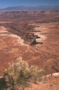
About the White Rim Road
In the late 40s early 50s the US government needed nuclear bombs. And for those bombs they need lots of uranium. So the Atomic Energy Commission recruited prospectors to find uranium in Utah. Even though they found no real sources here, this uranium mining boom created miles of roads in southeast Utah. And the White Rim Road is one of those creations. The establishment of Canyonlands National Park in 1964 means the uranium prospecting and road-building time is over, and the beautiful scenery and White Rim Road will stay as it is.
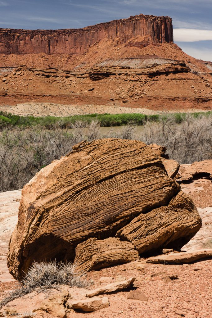
Geology. It’s named after the White Rim sandstone that it runs along for most of its distance. Formed around 275 million years ago, this sandstone started out as a wind-blown dunes on a beach. It resists erosion better than the crumbly Organ Rock shale right below, so the White Rim forms caprocks, benches, terraces, and a beautiful white rim around the canyons below it.
Camping: We stayed in the following campsites:
- Night 1: Gooseberry Camp – site A
- Night 2: Murphy Hogback Camp – site A
- Night 3: Hardscrabble Camp – site B
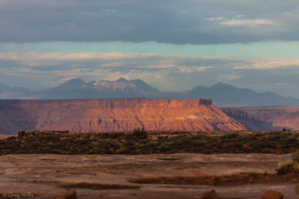
We really liked Murphy Hogback and Hardscrabble. Murphy Hogback has a great panorama of the southern part of Canyonlands, including The Maze. And you get the morning sun on the dramatic cliffs of Labyrinth Canyon in Hardscrabble camp. Gooseberry was okay — good sunset on the La Sal Mountains. And it looked a whole lot better than the other option on the east side, Airport, which looked barren.
Trip Report & Photos
1-4 May 2012
Day 1: Visitors Center to Gooseberry
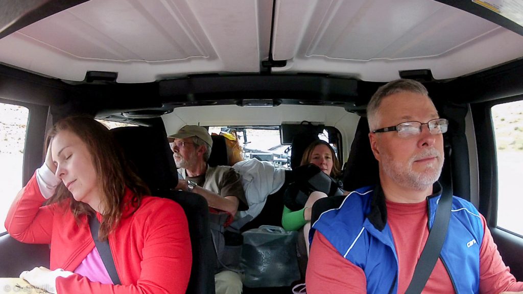
The drive from Moab was cramped, we were on our way to mountain bike the White Rim Road in Canyonlands. Four people, three bikes, food, water, and camping equipment for the three nights on the road — all in a 2-door jeep. But with a stuffed roof box, bikes strapped on any available exterior space, and laps full, the 45 minute trip from Moab was over before anything popped out or dropped off of the jeep.
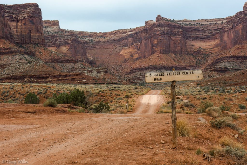
The overcast morning sky did little to dampen our excitement. We offloaded the bikes and repacked the jeep at the visitors center. After getting the paperwork for our reserved campsites, we headed north to the Shafer Trail turnoff. This was the last pavement for the the next three days, and I don’t think we cherished the smoothness as much as we should have.
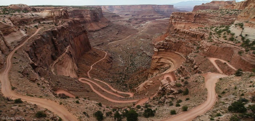
Shafer Switchbacks
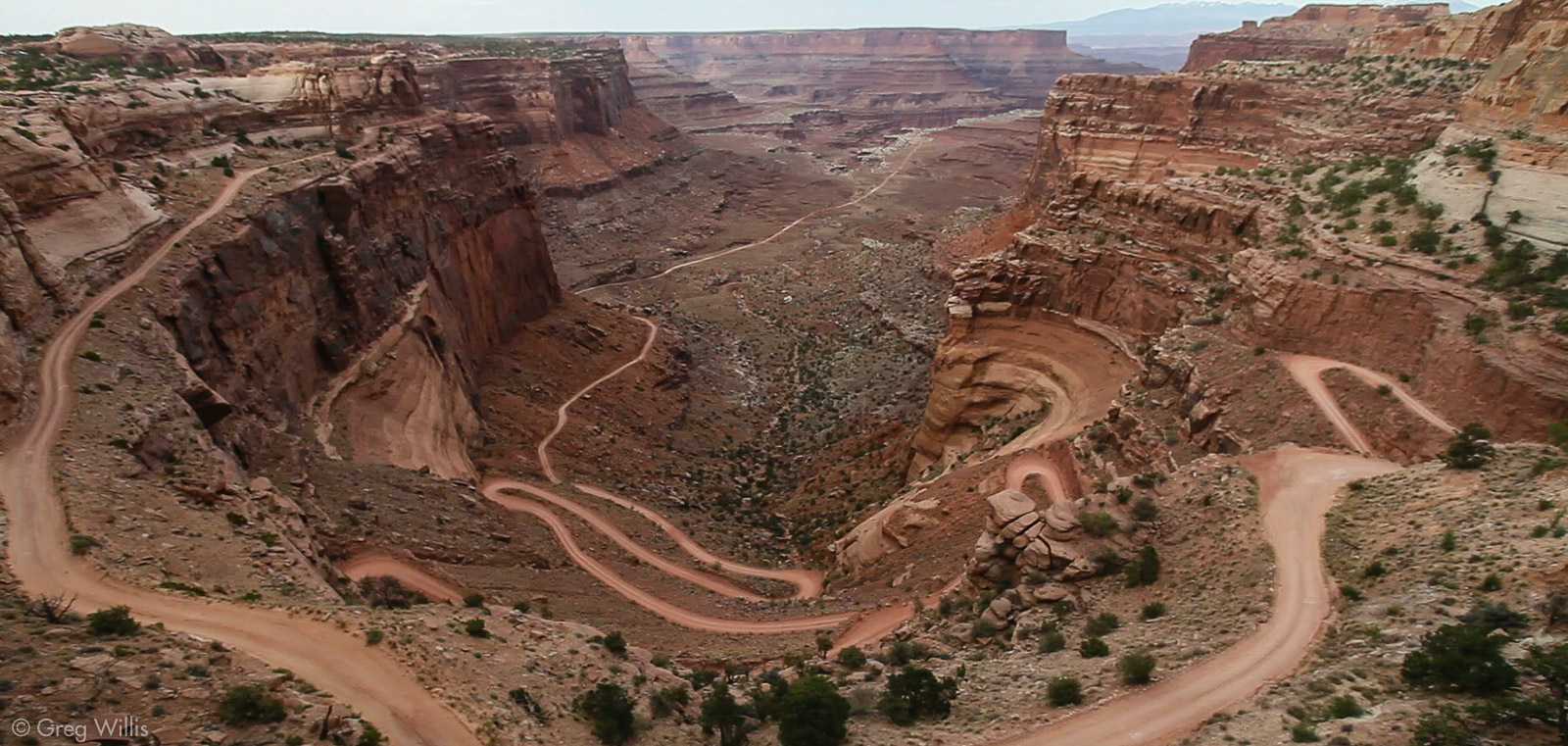
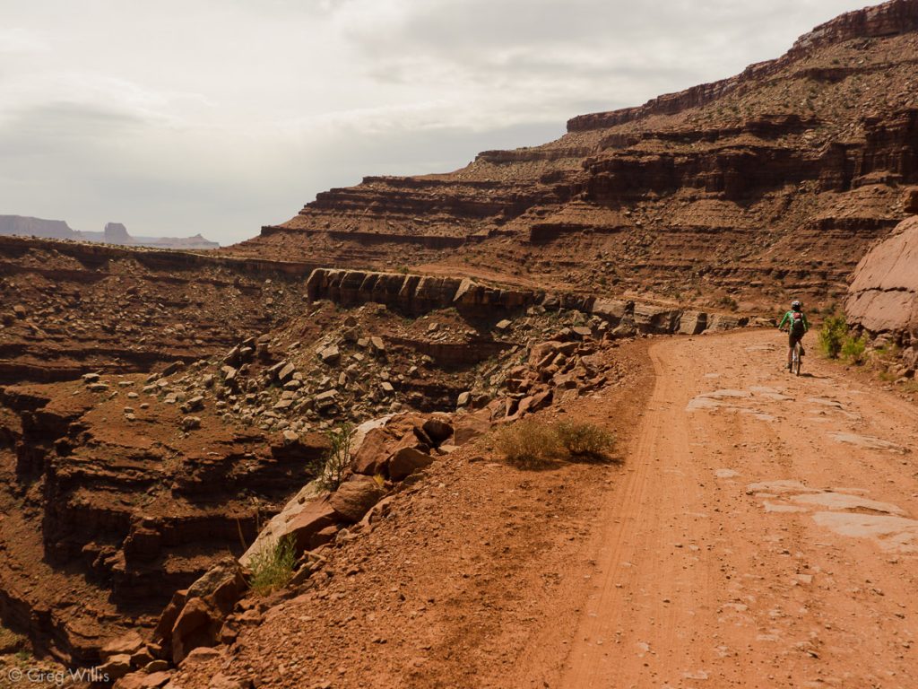
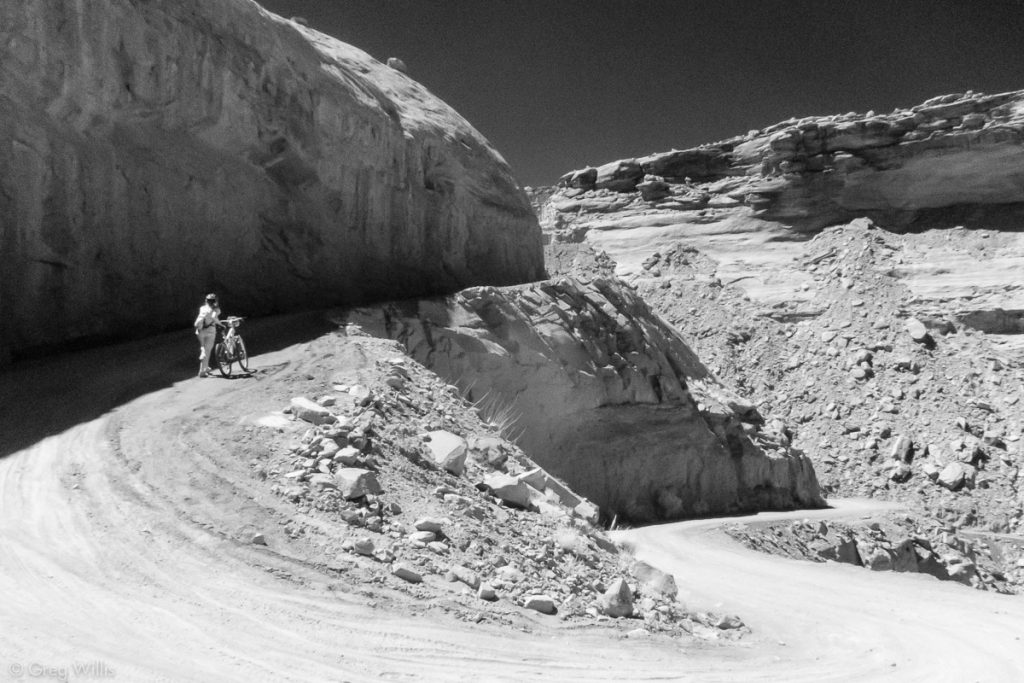
The Shafer Switchbacks look incredible: the vertical drop of the road cutting and winding through over a thousand feet of layered sandstone. But the road itself was in good shape — not too rough and fairly wide. And the gentle descent belies the view from further away — they are switchbacks and not a straight shot down. Oh, you can still die a plummeting, tumbling death as nary a guardrail can be seen. But as long as you gaze upon the scenery only when safely stopped, you’d be fine on a bike or in a vehicle. It’s a fun free-ride from rim to bottom – steering and braking is all you do until you reach the bottom. But as the road ends up back on the Island in the Sky mesa, you know this free ride is just a temporary credit to your elevation account.
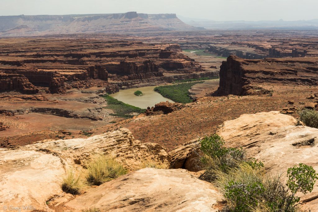
The road continues going down between the towering red walls of the South Fork of Shafer Canyon, passing the Shafer Trail turnoff. As we come out of the canyon, we hit the White Rim Sandstone that underlies the road for the next few days. We put down the bikes and walk to the Goose Neck Overlook. This gives us our first view of the Colorado River. From the edge you can see the brown swirling river almost double-up, almost but not quite making an island of the cliffs in front of you. And now as far as you can see, the red brown cliffs surround you.
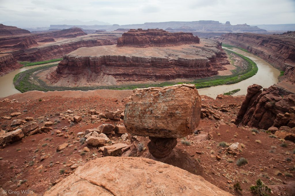
After a short ride, we again walked out to the edge of the canyon to the Walking Rocks. Here the White Rim Sandstone has eroded so that it’s just a large capstone over a thin hoodoo of underlying rock. From here the high cliffs of Dead Horse Point loom over the river and smaller cliffs.
Musselman Arch
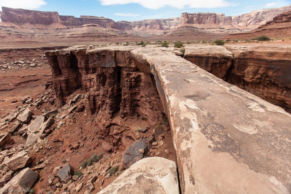
This first part of the trail contains lots to see and is well within an easy day trip from Moab. Another short ride and we arrive at Musselman Arch. After a bit of lunch we go out to the arch and take turns walking along its 120′ length. The 300′ of air below makes the arch’s sidewalk-sized width seem uncomfortably narrow.
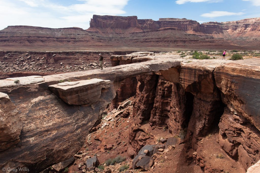
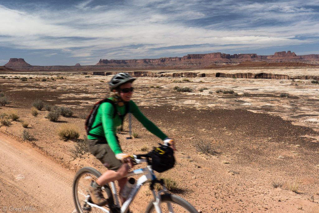
Musselman Arch concluded our off-bike excursions for the day, and the remainder was just biking. The wind had kicked up from the south which made for some hard pedaling as that’s the direction the road took us. And you know it’s blustery when you have to pedal while doing downhill.
As we passed by Airport Campsite, I stopped and fixed a flat. Looking around at the barren landscape, I’m glad that I didn’t book a night here. Nobody wants to stay at the airport.
Gooseberry Camp
We made it into Gooseberry Campground 8 hours and 29 miles after setting off from the visitors center. In plenty of time to view the sun’s final light on the La Sal mountains. We stayed at campsite A, the first one you get to on the left (traveling the White Rim Road clockwise). B is on the right and is up-canyon. I think A is the preferred site here because it has good access to the canyon rim and decent views of the La Sal mountains. We had weather moving through, so the wind was unrelenting.
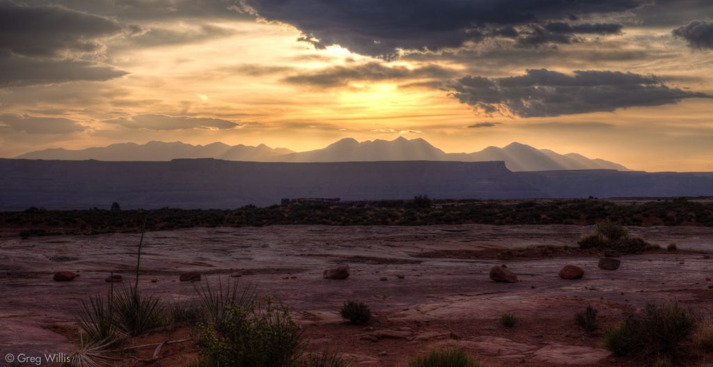
- Distance: 29.0 mi / 46.7 km
- Time: 8 hours (including stops)
Day 2: Gooseberry to Murphy Hogback
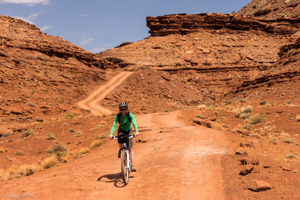
The dawn brought us another cloudy morning. We said goodbye to the items the wind blew away during the night, packed up camp, and set off. The morning was easy-going — the road today was mostly smooth dirt. And by now the extraordinariness of the landscape had settled into the expected. You still saw as many towers, hoodoos, and vistas, but after a night in their company they became more ordinary. To gawk at them would be unseemly — they belong here.
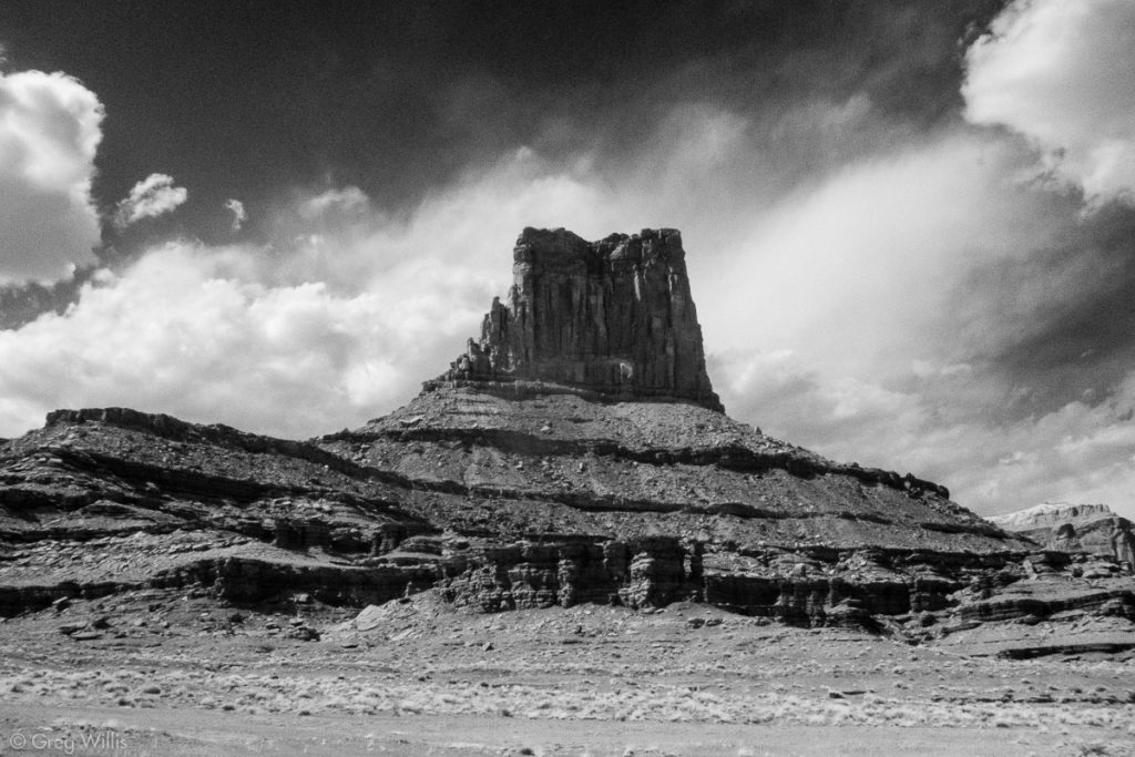
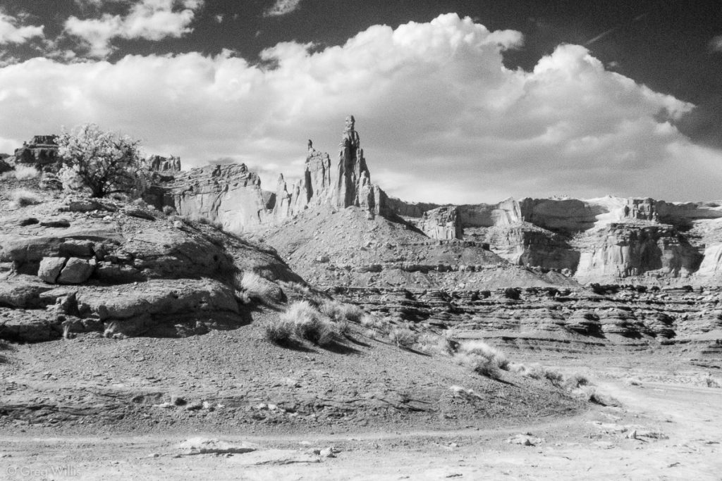
Much like yesterday’s Walking Rocks, the tall brown hoodoos in Monument Basin wear their White Rim sandstone hats as they seem to line up down the canyon.
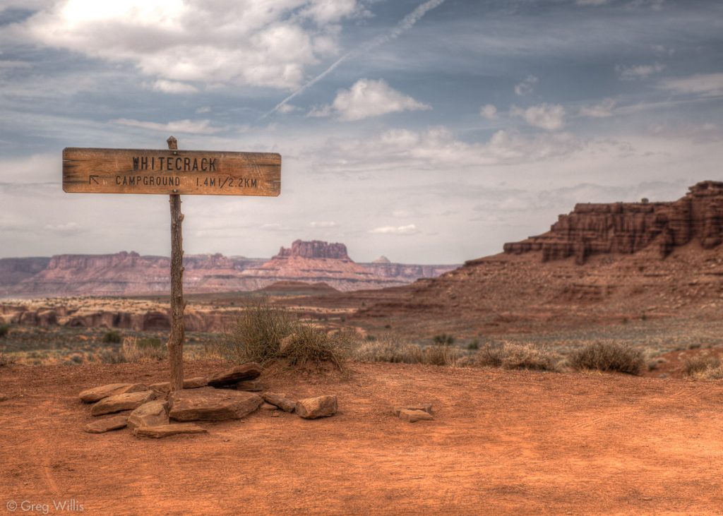
White Crack
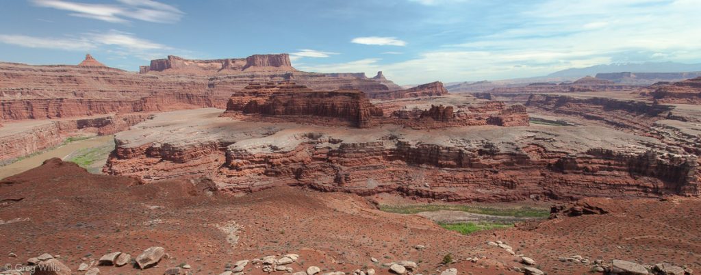
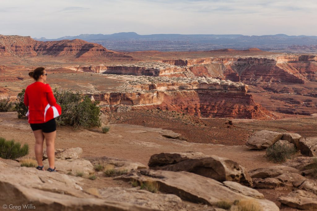
For lunch, we took a left from the main road and went down the sandy road to White Crack, the southernmost point you can easily get to. It’s here that the Colorado and the Green rivers narrow the Island in the Sky to a point. And though you can’t see their confluence from here, you can feel it. And it really is a special place. The La Sals, the Henries, and the Abajo Mountains all beckon in the far distance. But in all directions, except the thin trail you just walked, the layered & gouged landscape offers no hope of a journey to meet them.
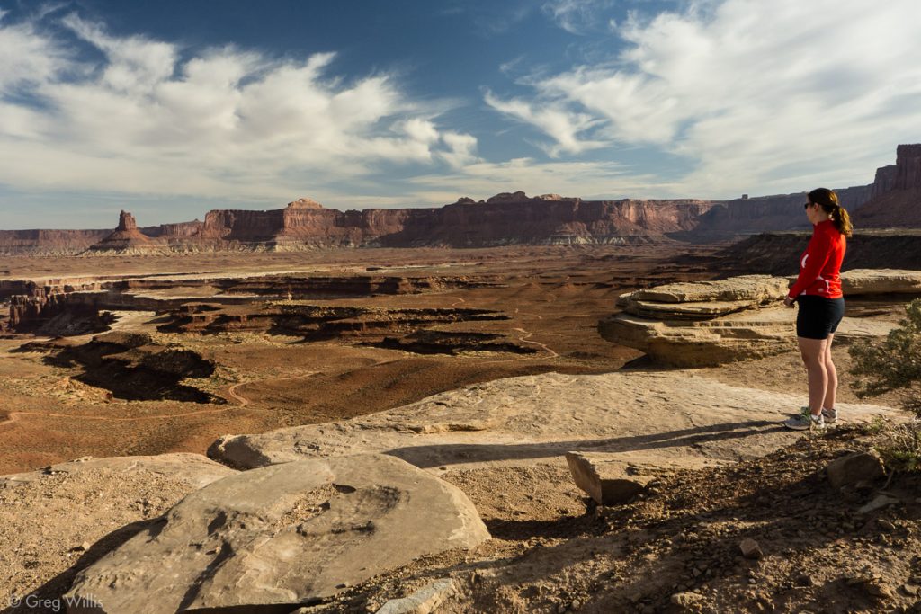
View from White Crack
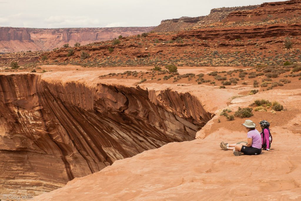
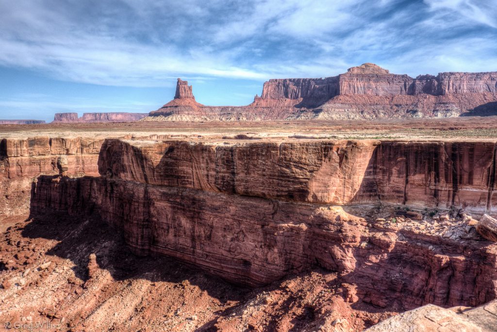
On the map it’s called Vertigo Void, and as the road drew is closer we could see why. The curving section of thick White Rim sandstone had been undercut by erosion. So when you carefully peered over the edge, you did not find the cliff wall under you. You saw only the empty space where you thought the cliff would be. We had our snack break a safe distance away.
Murphy Hogback
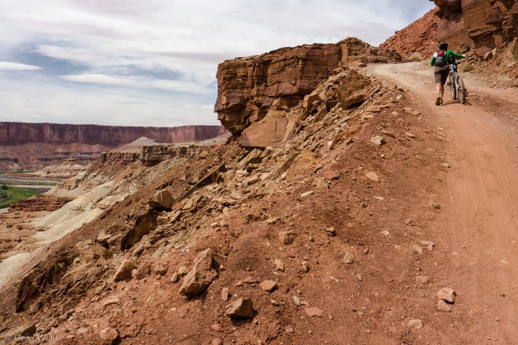
The Murphy Hogback provided the challenge of the second day, one that we weren’t particularly up for. As we approached the steep ascent to the top of the 300′ ridge, we saw Rich drive the jeep up the road. Sticking to the easy-going theme of the day, we skipped the peddling and walked our bikes up to the campsite.
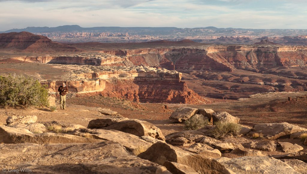
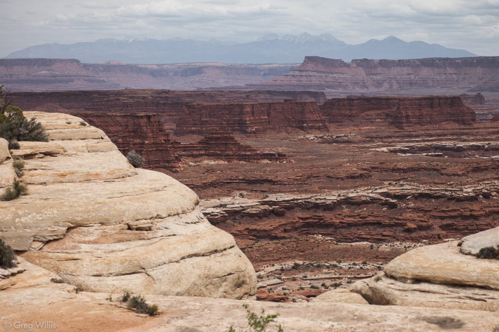
The Murphy Campground gave us the best views of the whole trip. Only a bit removed from the White Crack, it retained the wildness and impenetrability of the landscape. Facing south, we could see the slanting sun on both the Needles and the Maze District. The day’s clouds had cleared and we watched the canyons slowly fade to night.
Simply stunning. Murphy A Campsite has got to be one of the best in the whole National Park Service.
First and foremost, there’s the view – the southern part of the park is laid at your feet. Next, it has a beautiful rock formation that serves as the focal point of the camp, with seating and wind-break features built right in. And it’s after the hard ascent of the Murphy Hogback — believe me, you’ll need to take a break. This campsite was both literally and figuratively the high point of our White Rim Road trip.
- Distance: 19.0 mi / 30.6 km
- Time: 7 hours 45 minutes (including stops)
Day 3: Murphy Hogback to Hardscrabble
The bright sun gave us beautiful warm light as we headed down the north side of Murphy Hogback. All of Soda Springs Basin lay before us with Candlestick Tower watching as we began our day.
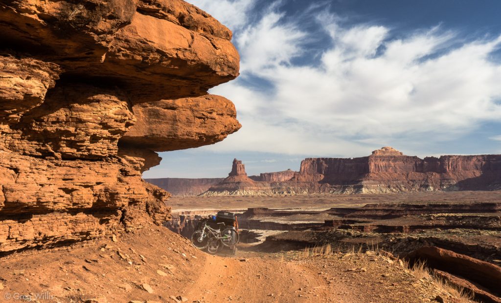
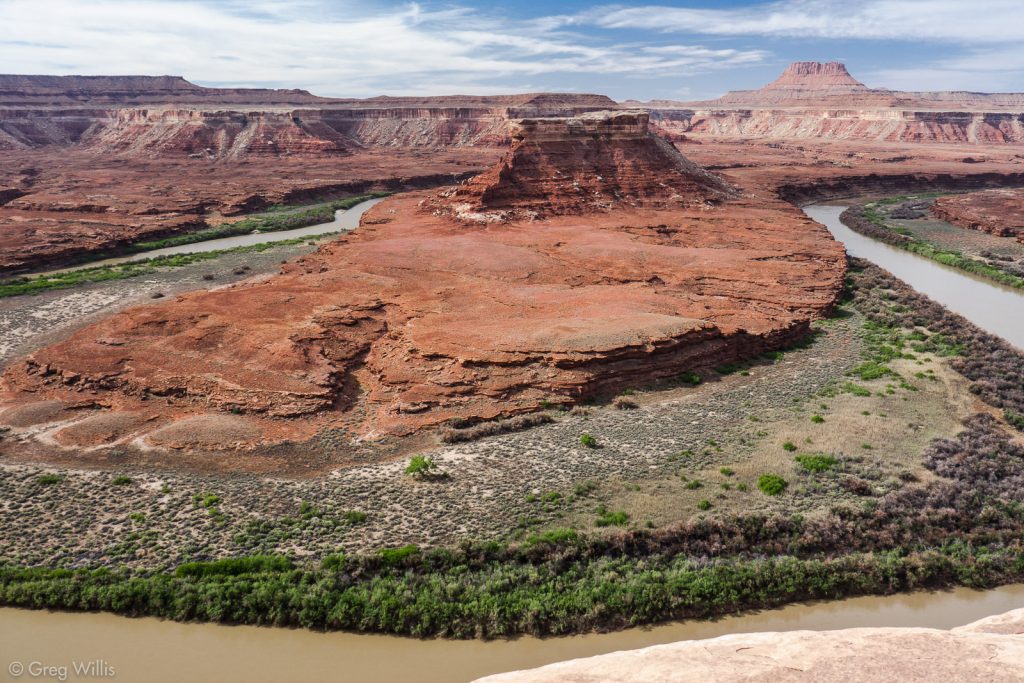
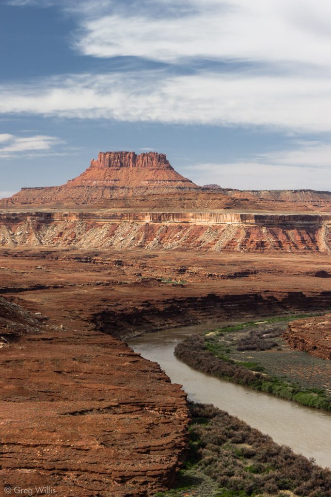
The biking was easy — maybe a bit too easy. By the time I got to Turks Head overlook, I’d realized I’d passed by the Black Crack. Backtracking being not on the agenda, I spent a couple of extra moments soaking in the wonderful bend in the Green at Turks Head.
Holeman Slot Canyon
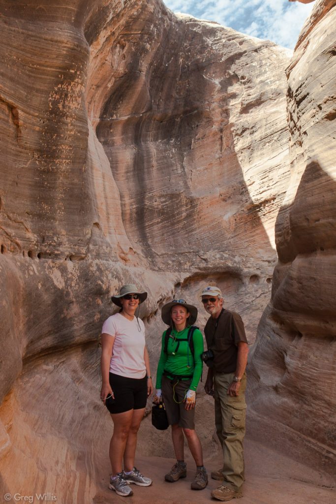
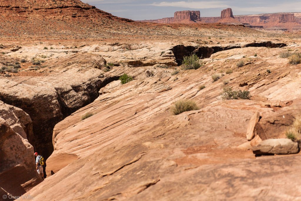
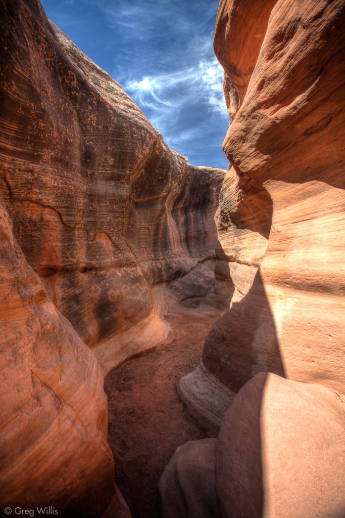
We’d done a good number of slot canyons in Utah, so Holeman Slot came as a familiar and interesting change of pace. Getting in could’ve hardly been easier, and the section we explored had that curving sculptural sandstone found in the best slots. We turned around at the first dry fall, the biking gear didn’t lend itself to scrambling and we had plenty of miles left in the day.
During Powell’s first Grand Canyon expedition at this point on the river, the men spotted two buttes that when lined-up resemble a fallen cross. And even now, the Buttes of the Cross remain aptly named.
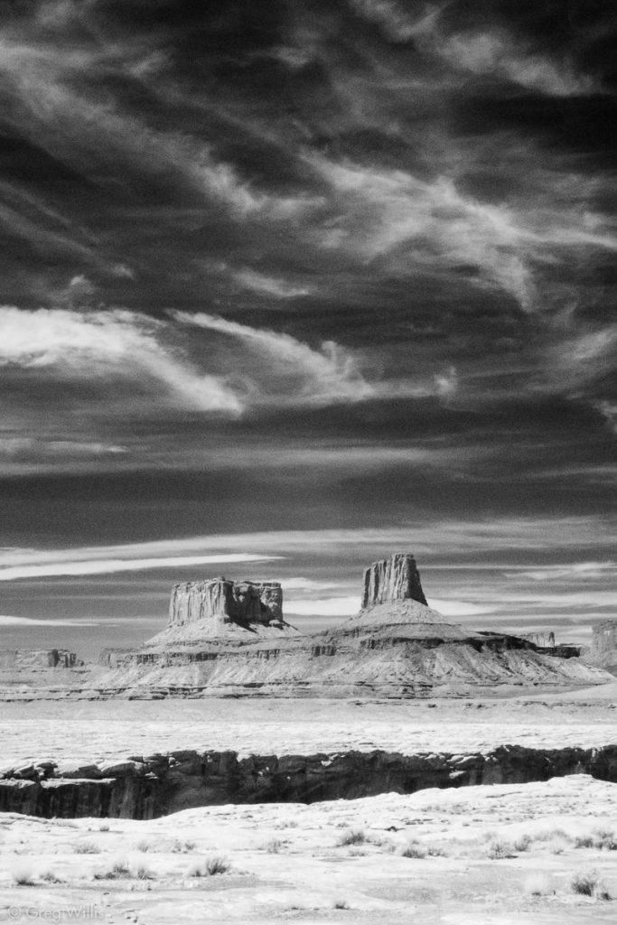
Just before Potato Bottom as the road bends to the northwest, the White Rim Sandstone dives beneath the landscape — not to be seen again. And it really was a little sad to say farewell to the formation that we’d biked on for the last couple of days.
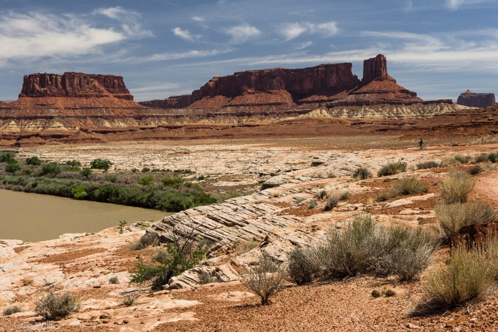
Potato Bottom
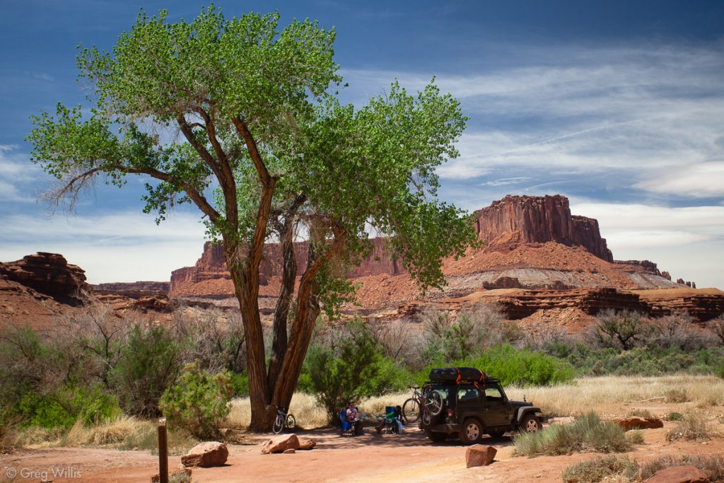
We stopped at Potato Bottom for lunch. The “bottoms” are the sandy parts of the river and this was the first time we stood on the same level as the river — this one was the Green. A huge cottonwood provided sweet shade while we ate lunch and lingered in the empty campsite.
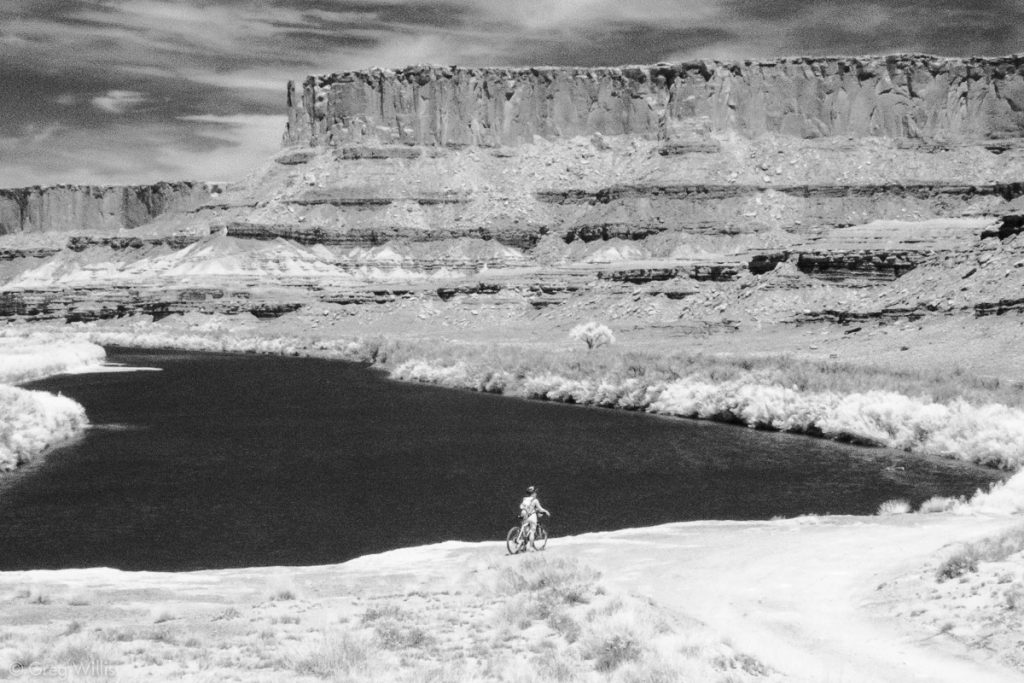
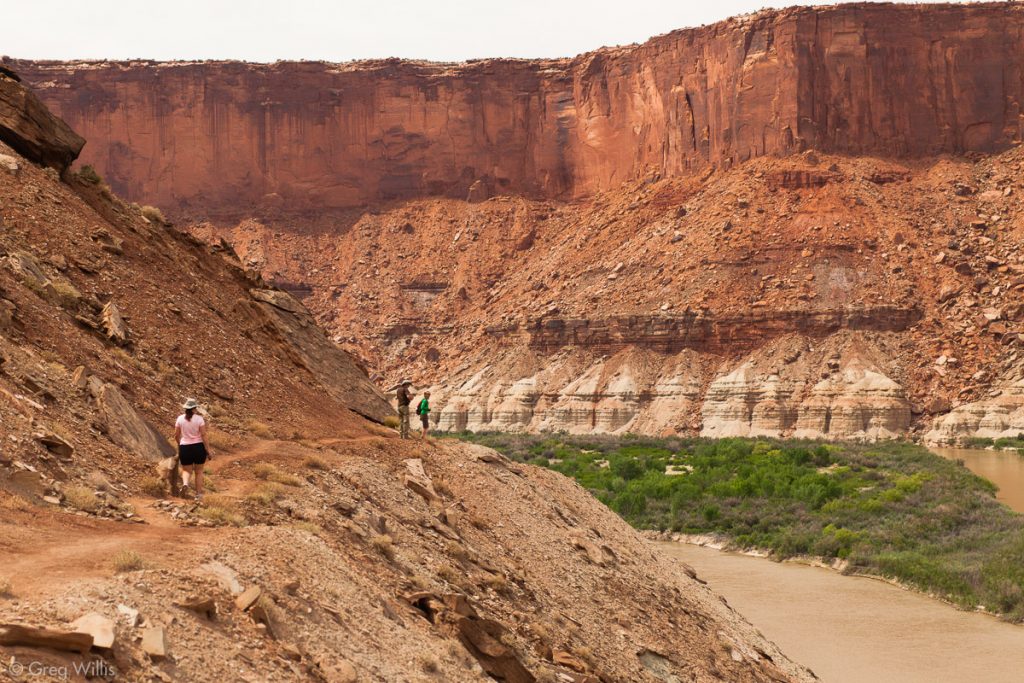
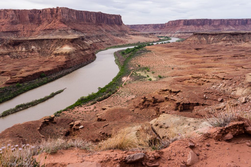
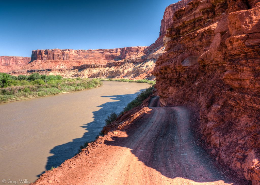
Having the river as a companion took some getting used to. In previous days on the east side the Colorado was inaccessible beyond the cliffs, glimpsed only occasionally and usually only with effort. In contrast after the White Rim sandstone goes under, the Green is usually just right there. Maybe behind the tamarisk, maybe down the hill — but ever accessible.
Hardscrabble Hill & Fort Bottom
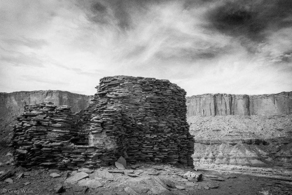
We walked the bikes up Hardscrabble Hill, which was a bit easier since we were unencumbered by any pride. At the top of the hill we found the trail to Fort Bottom. Ancestral Puebloan Indians build a structure atop the mesa above the river, hence the name ‘Fort Bottom.’ And cattle ranchers added a cabin in the late 1890s by the edge of the river. So as deserted and remote as this country seems, people have always been a part of it. As this is a bit of a gooseneck, the Green river almost completely wraps around the land here. The trail goes over the thinnest part of the neck then heads up to the ruins.
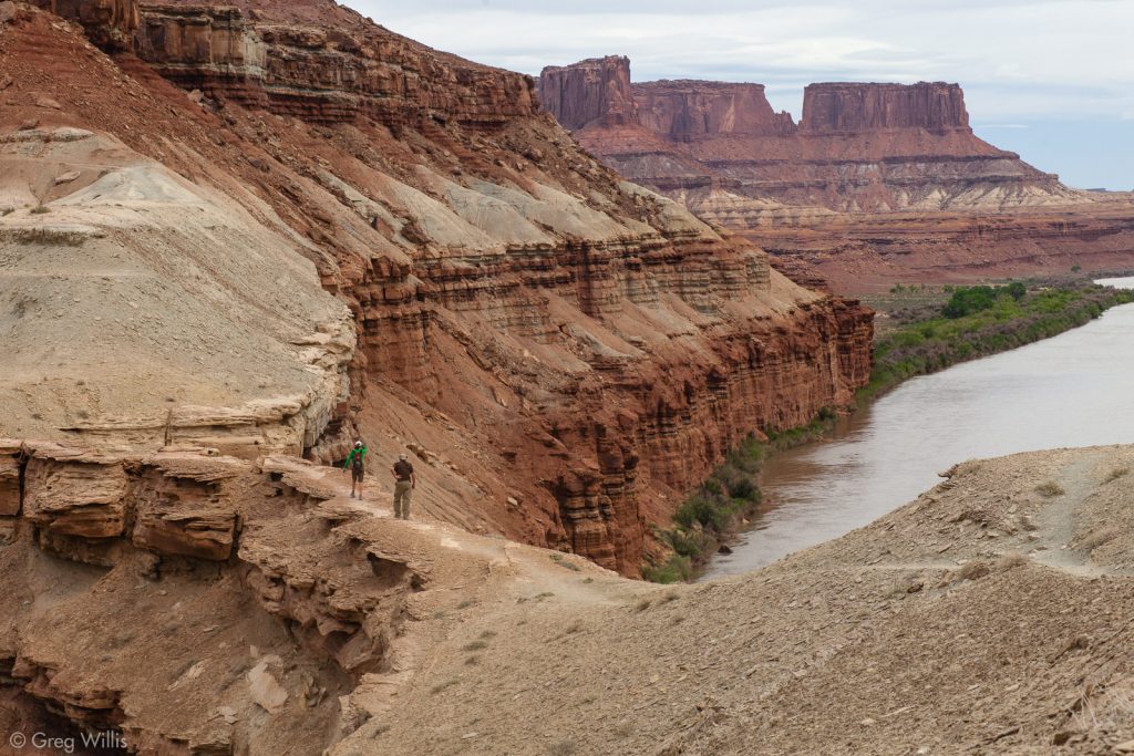
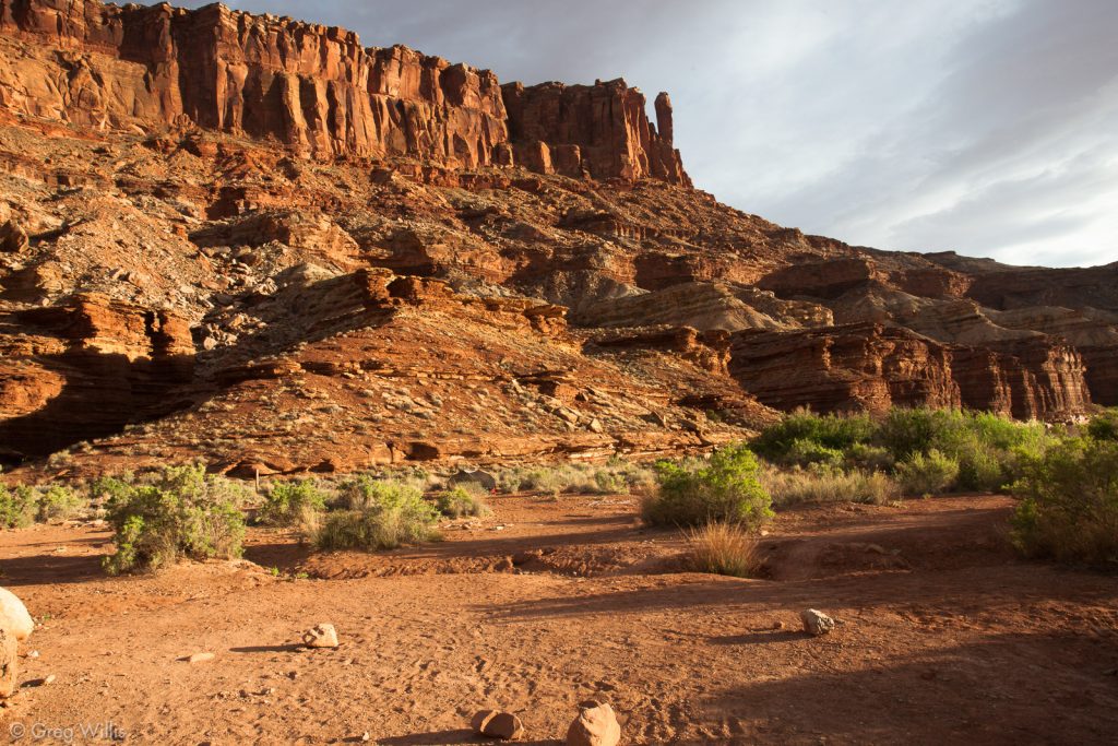
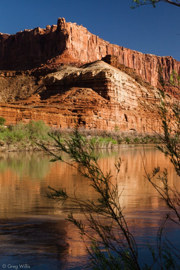
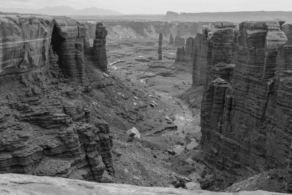
After a bit of scrambling you get to see not only the ruined tower but a near 360 degree view of the Green. The final push for the day was down the north side of Hardscrabble Hill. It’s much easier than the uphill by far, but the road had enough sand in it to keep the descent from being carefree. And we shortly rolled into Hardscrabble Campground. Although this lacked the “on top of the world” feeling of the previous nights view from Murphy, it’s situation was not without its charms. The camp is nestled by the river as it takes a hard turn in Labyrinth Canyon, and on both sides the Wingate cliffs loom above you.
Whereas our other two campsites on the White Rim Road of Canyonlands NP, Gooseberry and Murphy, were all about the rock, Hardscrabble is riverside living. Both campsites A & B are right on the Green River, B being the more secluded of the two. Tamarisk abounds, there’s a small cottonwood for a bit of shade, and the bats put on quite a show at dusk. B is also up against the north side of Bighorn Mesa, so you can get good light on the cliffs towering right above you.
- Distance: 25.0 mi / 40.2 km
- Time: 9 hours (including stops)
Day 4: Hardscrabble to Horsethief Trail
Our last day was going to be a short one, so we took our time breaking camp to savor the morning sun on the walls of Labyrinth Canyon.
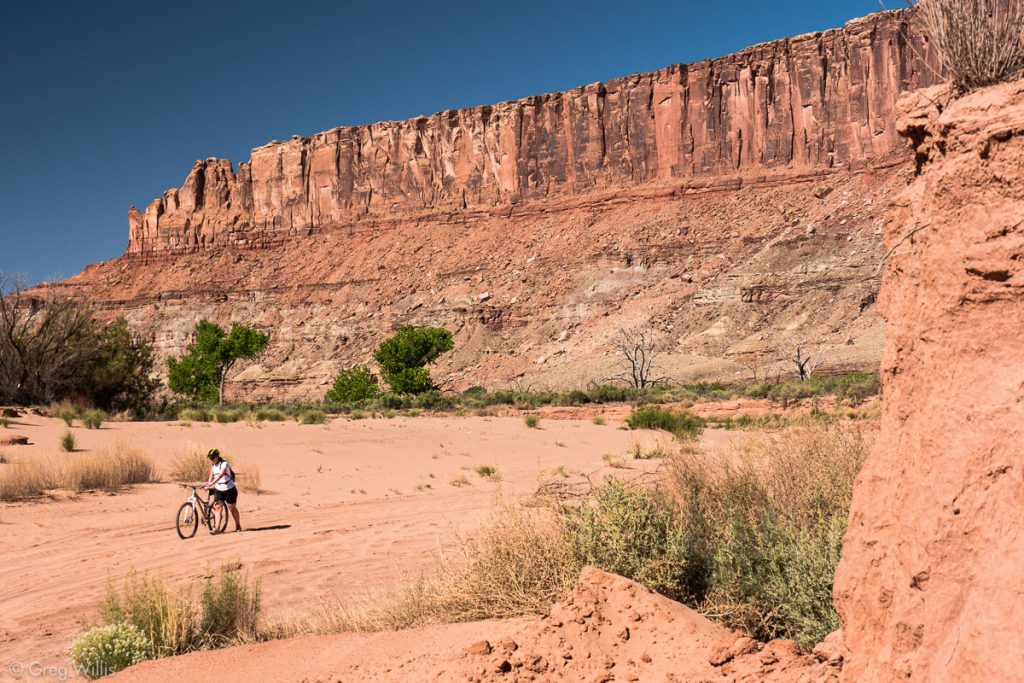
Years ago we hiked to Upheaval Dome in the Island in the Sky section of Canyonlands. It’s the eroded remains of an ancient (millions of years ago) meteor impact. It’s a grand sight — circular with almost vertically tipping rocks amid a linear landscape. After the meteor hit, sediments piled up, then sediments wore down. And the present day path of this erosion ends up in Upheaval Bottom — where the sand that used to be in Upheaval Dome takes a break before continuing into the Green river. The road goes right through this deep sand. Did I mention the sand was deep? I’d like to think we soaked in more of the views as we pushed our bikes, but we didn’t. We wrangled our bikes, looked down at the sand, and muttered discouraging words.
The rest of the morning’s ride followed the turns of the flat Green river.
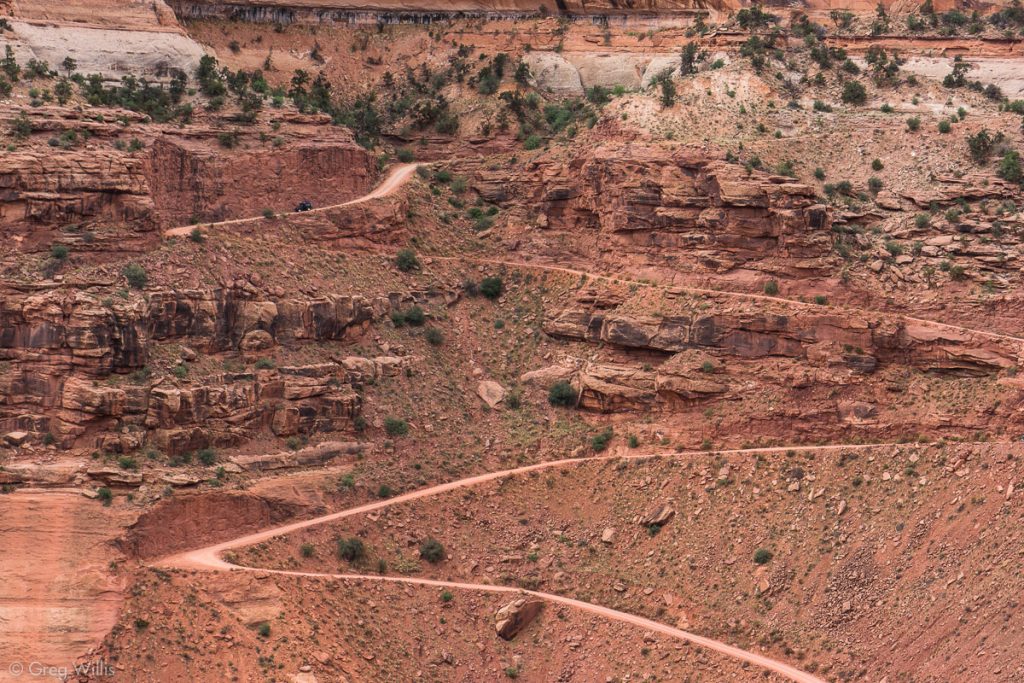
Ever since the easy cruise down the Shafer Switchbacks, we knew we had to repay that temporary elevation credit. And as we gazed up past Felony Tower to the Switchbacks of Horsethief Trail, we saw that the time had come. We tried to keep up on two wheels, but soon enough we were on our feet pushing.
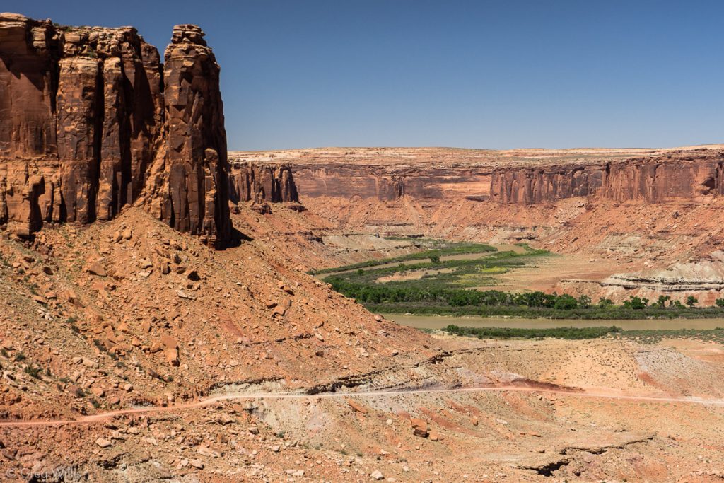
As we rose the views of the Green River and Labyrinth Canyon got better & better.
After the final switchback we turned our backs on the canyon below us and coasted towards the parking lot and the awaiting jeep. This was the end of our ride, leaving the hot and windy Mineral Bottom Road to those hardier souls to pedal back to the Visitors Center. Horsethief Trail, or Mineral Bottom Road, is just a dirt road on top of a mesa with nothing to see but sagebrush, so not all that appealing for me. The bright lights of Moab — okay, maybe not so much. But we were overdue for a hot shower and a cold beer, and Moab had both.
- Distance: 9.0 mi / 14.5 km
- Time: 2 hours 30 minutes (including stops)
Stats
- Day 1: Visitors Center to Gooseberry (29 miles)
- Day 2: Gooseberry to Murphy Hogback (19 miles)
- Day 3: Murphy Hogback to Hardscrabble (25 miles)
- Day 4: Hardscrabble to Horsethief Trail (9 miles)
- Total milage: 81 miles
- Dates: 1-4 May 2012

Leave a Reply