
Jaime and a porter greeted us in our tent at 05:30 with more bowls of warm water for handwashing and hot water for coca tea. Breakfast at 06:00 with tents cleared for packup (by the porters) and boots hit the trail by 06:30. Today was the day of two mountain passes, so we stocked up on the snacks (cookies, candy, crackers, canchita [half-popped corn], bananas, apples) they provided.
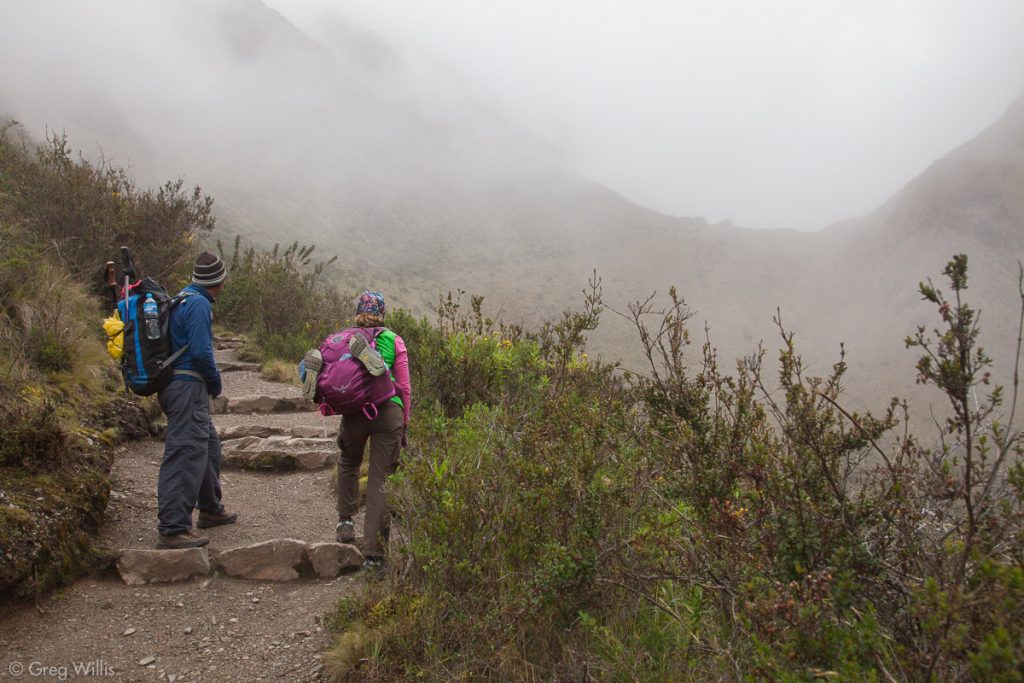
Jaime & H looking up at Abra Warmiwañusca 
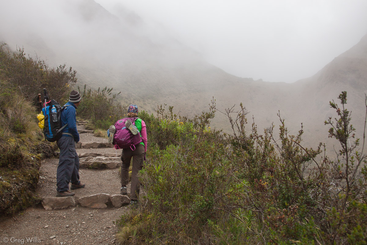
On the trail looking back at Llulluchapampa Camp 
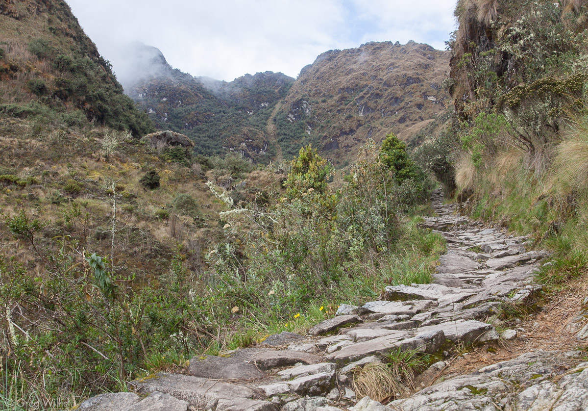
Trail to Abra Warmiwañusca 
Abra Warmiwañusca, Dead Woman Pass
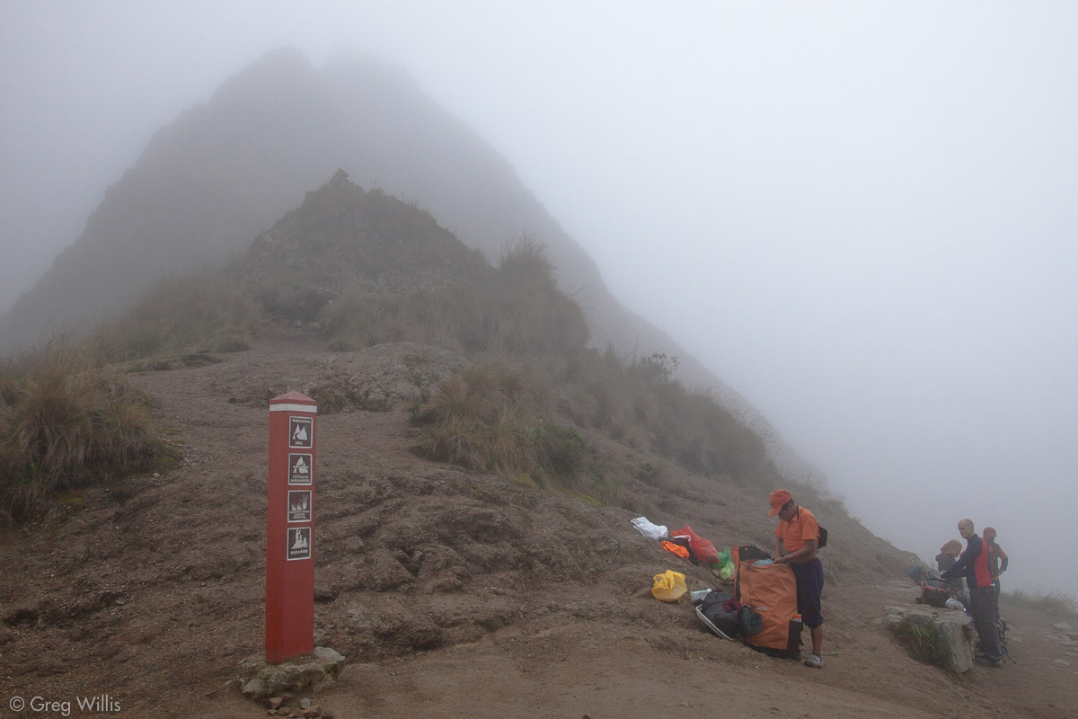
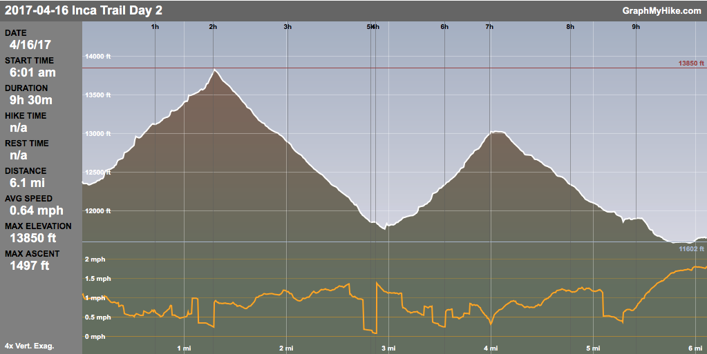
Usually it’s day 2 of the Inca Trail that’d the hardest — a 4,000′ climb combining our day 1 afternoon and our day 2 morning. But for us the 1,500′ 2 hour ascent to the Abra Warmiwañusca (Dead Woman Pass) felt manageable. We had spent a fair amount of effort, both in the US and Peru, on acclimatization — so the altitude wasn’t much of a factor. It also helped that since we were now above treeline I could see where we were headed. The Colorado Rockies spoil you with sightlines and I have become used to it. This was all good right up until the wind changed direction right as we arrived at the pass, blowing clouds form the far valley and making us totally cloudbound as we rested on the 13,800′ top. Jaime’s celebration rum gave us a bit of liquid sunshine.
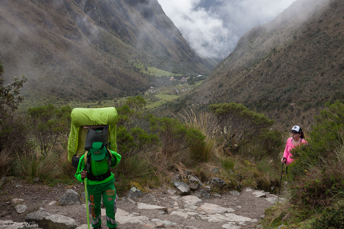
Descent was steep but unremarkable. What was remarkable, however, were the porters. After breakfast they would break camp, put it on their backs — tents, tables, chairs, food, the whole kitchen — then pass us on the trail. They’d then get to the lunch camp and set everything up so it was ready when we arrived. As I gingerly took one stair with two steps as to not blow out my knees, they would trot by on the damp stones with their huge burdens.
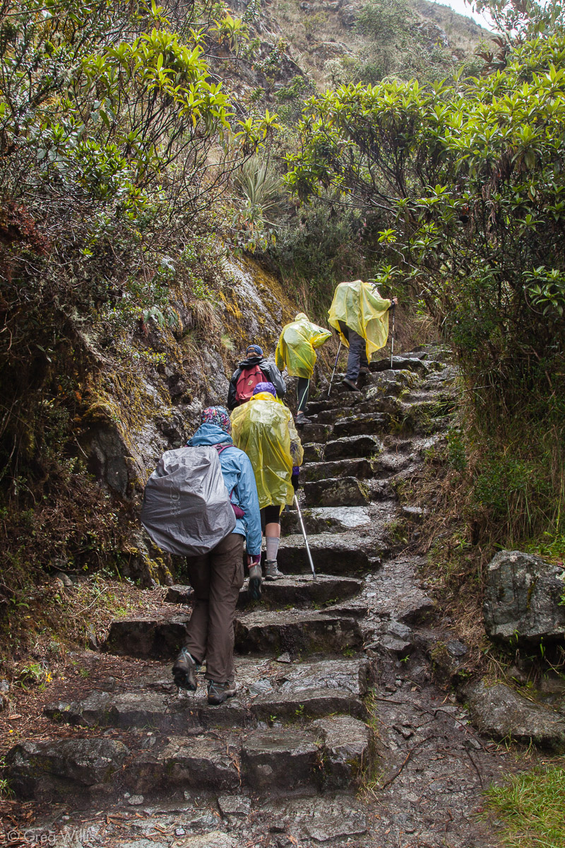
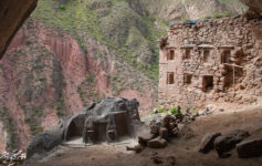
We had lunch and a break at Pacaymayo camp, in a valley between the day’s two passes. As we started up after lunch so did the rain. But the raincoat and the pack cover easily took care of the light rain, and we make our way up to the Runkurakay ruins — our first close-up ruins of the trek.
Runkurakay

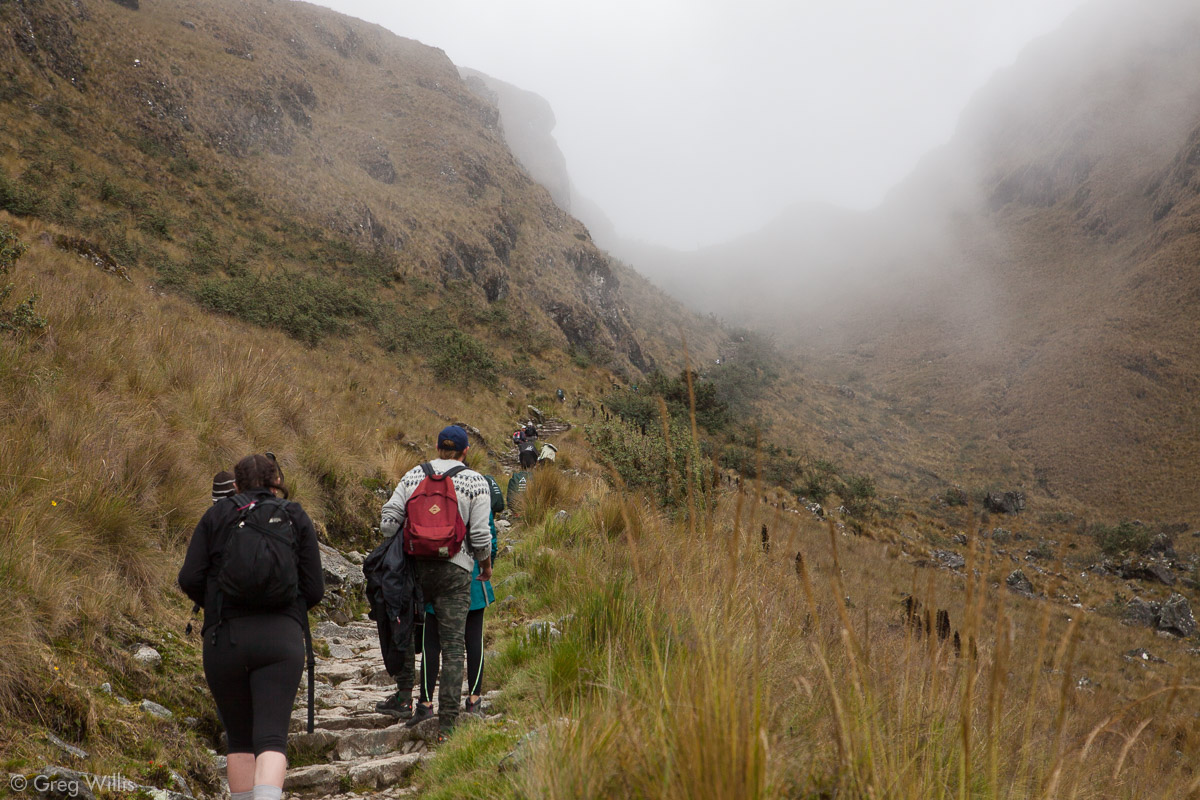
Rain on the trail 
Small Runkurakay Ruin 
Runkurakay Ruins 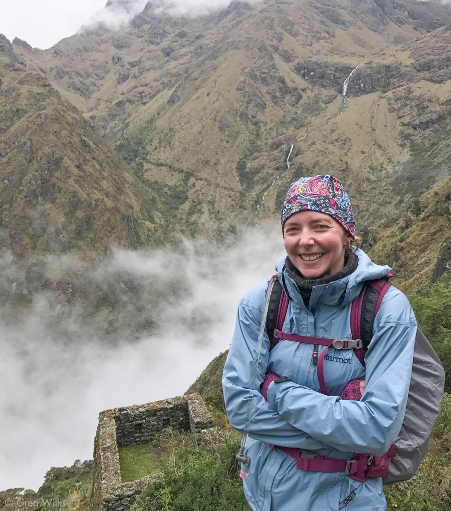
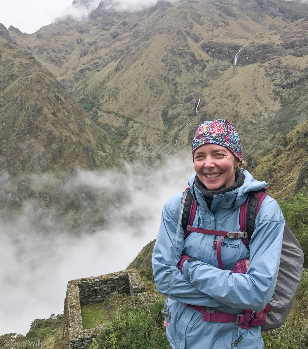
H at Runkurakay with Abra Warmiwañusca at top left
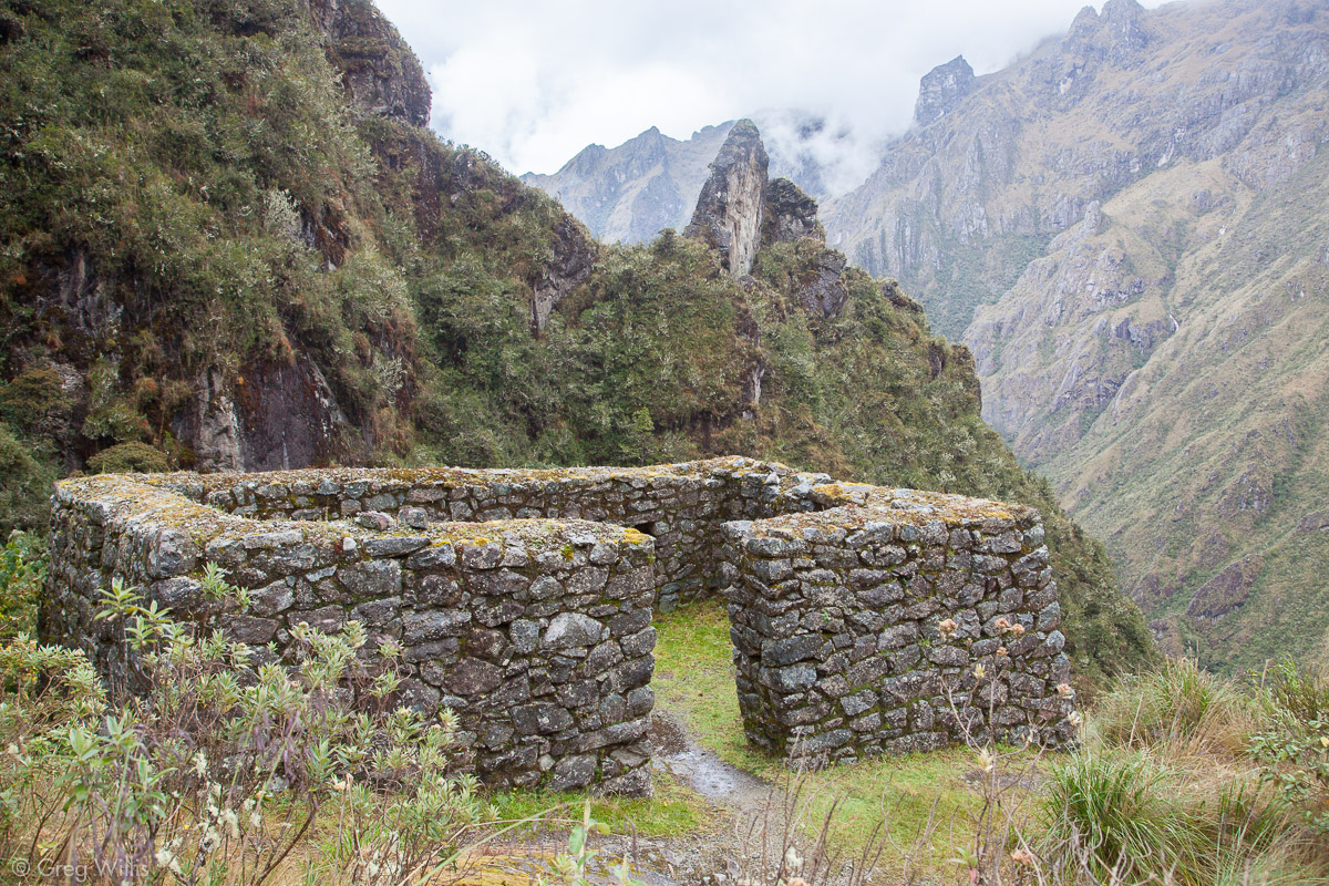
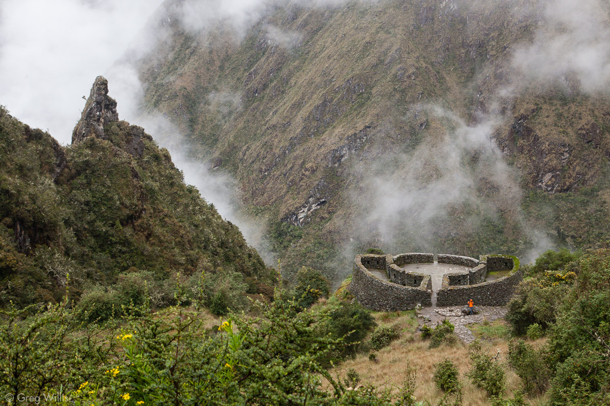
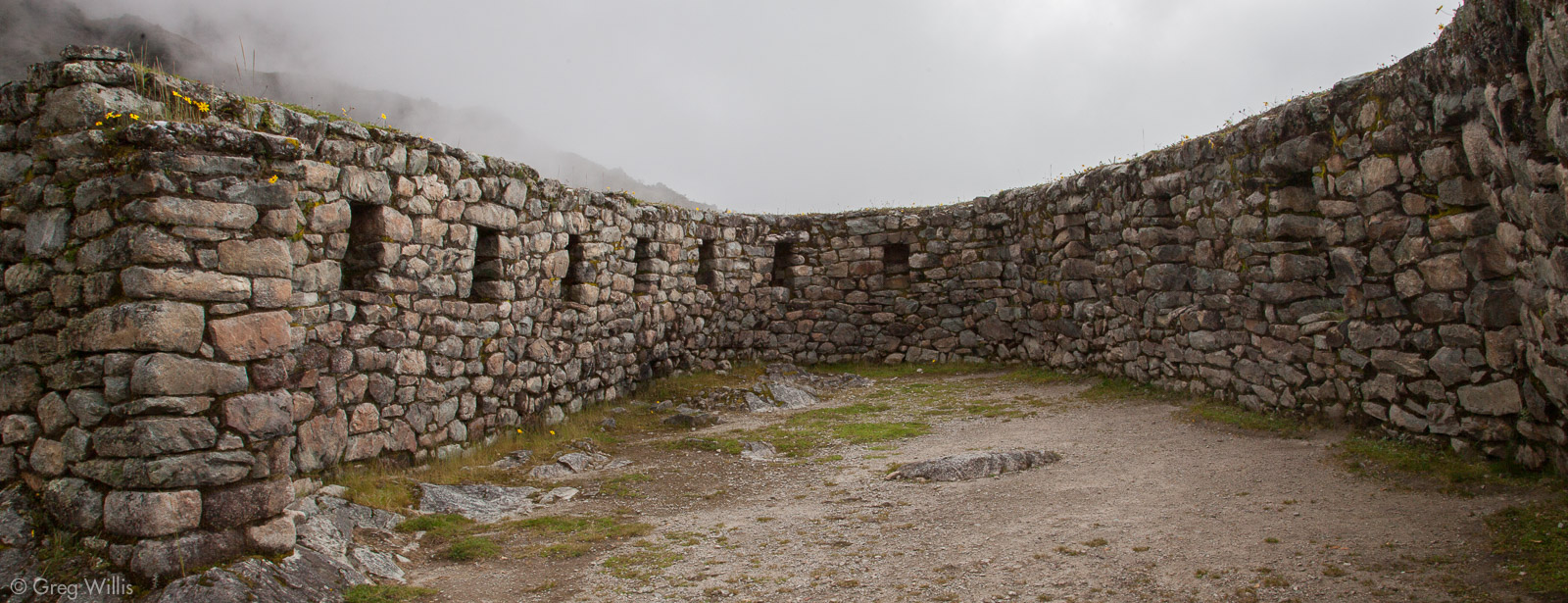
Incas usually reserved a circular or rounded design for important temples, but the common masonry at Runkurakay shows this was not for worship. And with the placement overlooking both the Pacamayo valley and the Abra Warmiwañusca it’s easy to surmise that it served as a small observation outpost as well as a tambo or way-station for travelers or troops. It was tastefully utilitarian.
We topped the Abra Runkurakay (Runkurakay Pass) 12,956′ in under 2 hours with a 1,200′ ascent. As befitting the second-highest pass, there was little rejoicing. Just a break then we started our descent to the night’s camp.
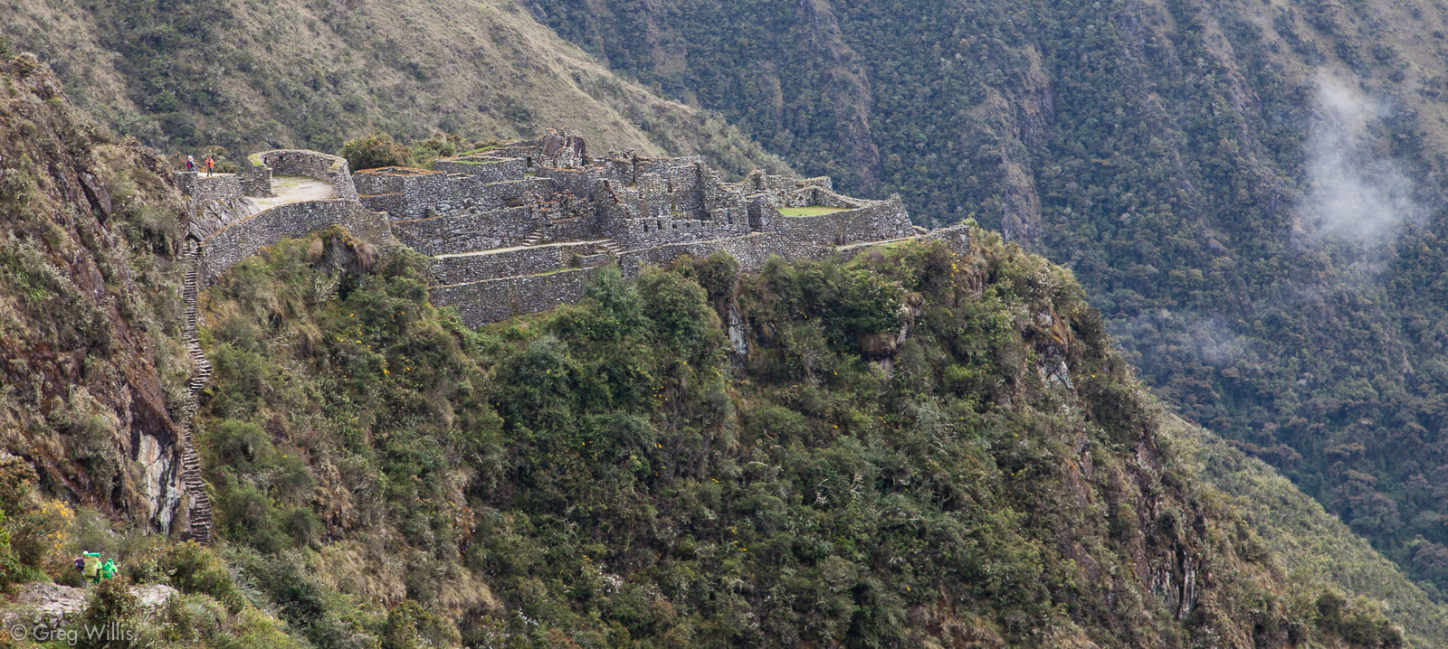
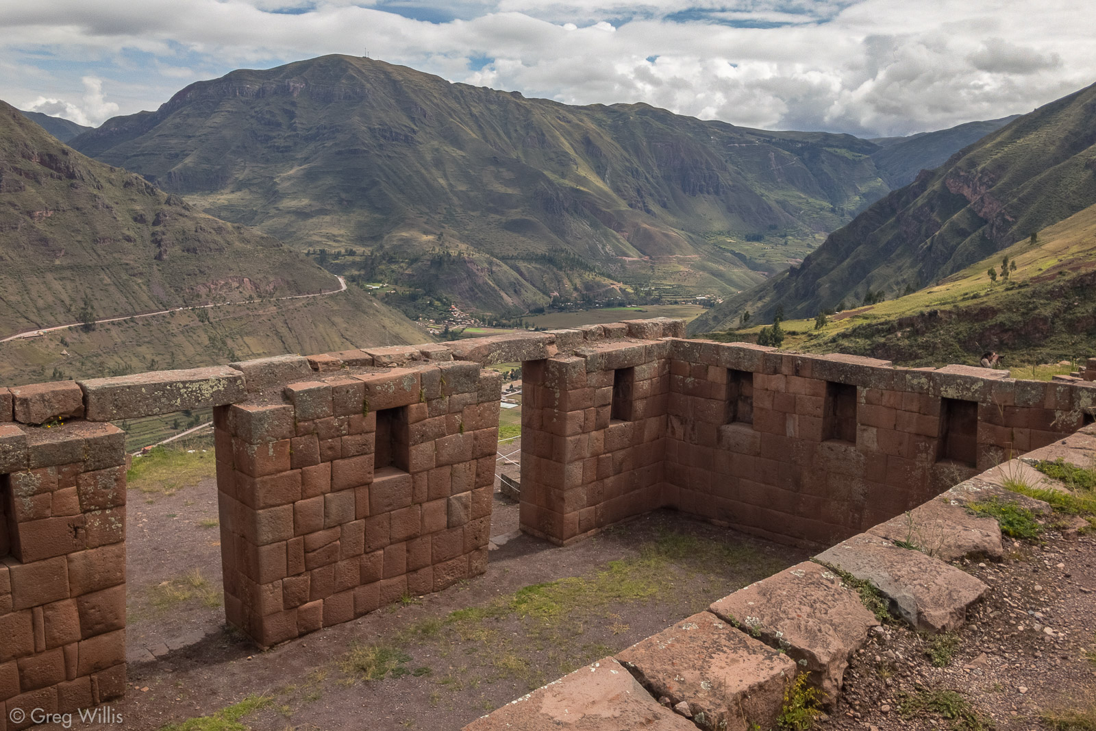
Sayacmarca
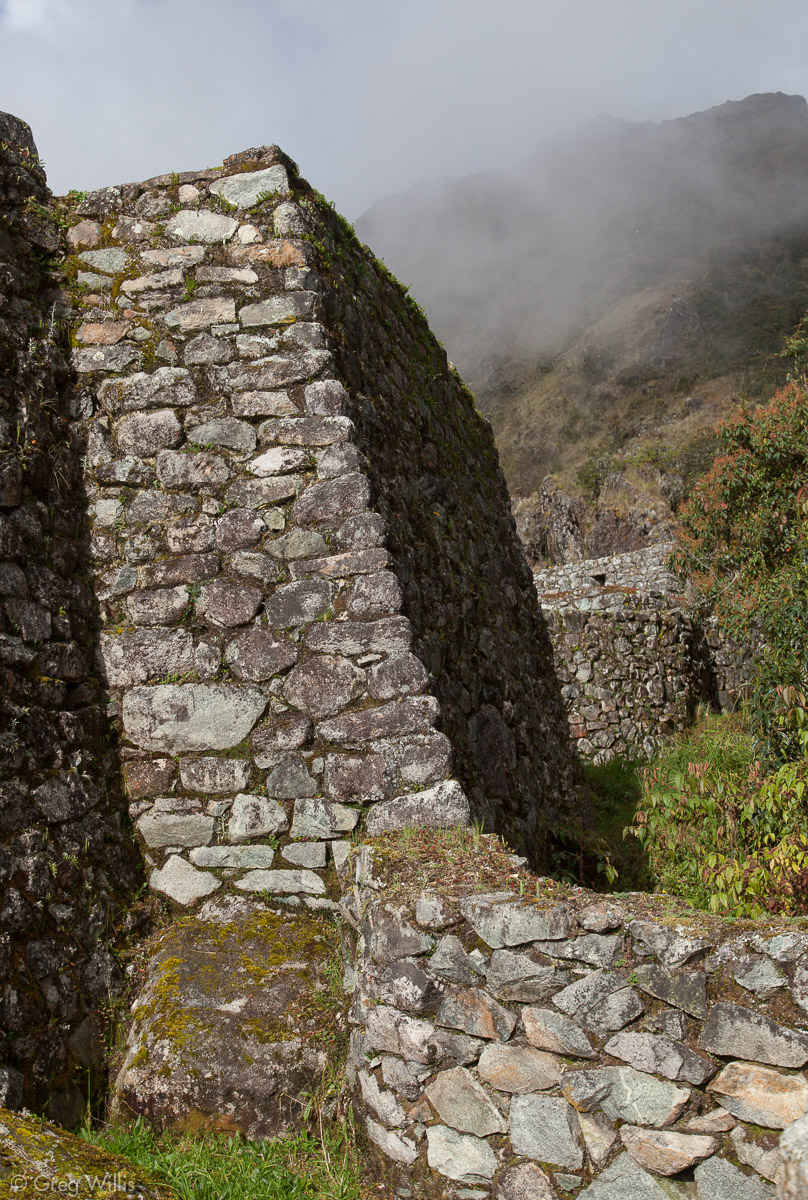
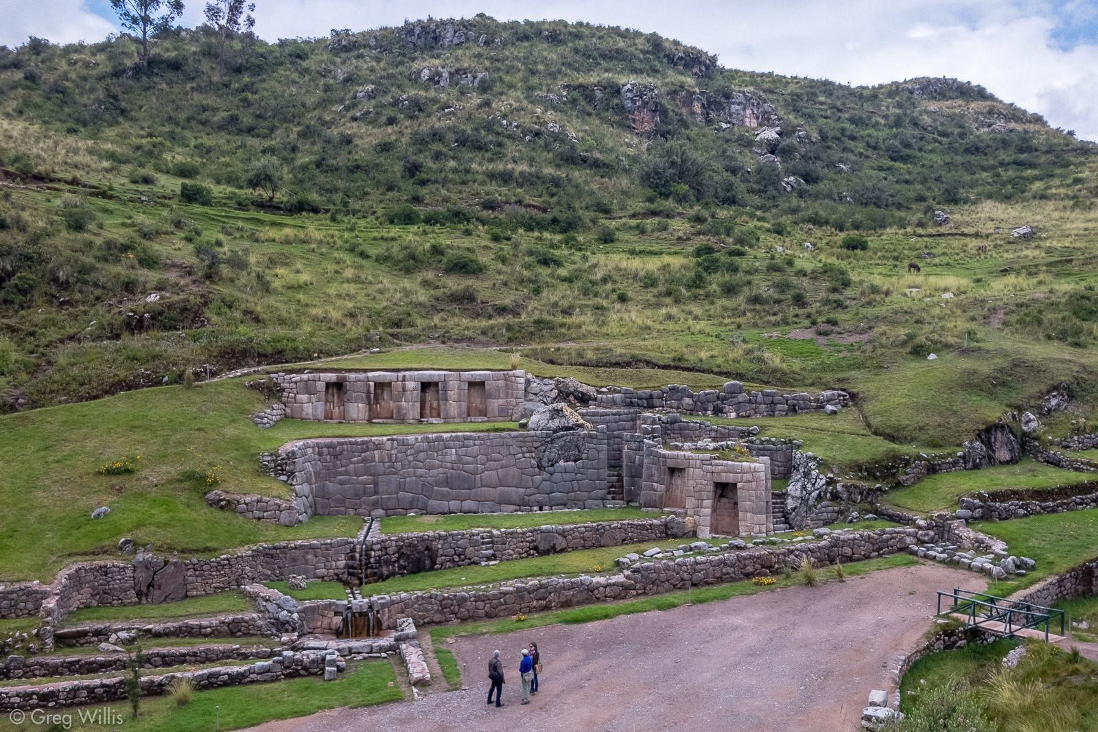
If the ruins at Runkurakay were an appetizer, Sayacmarca was the entree for today. Large, imposing, in wonderful condition — Sayacmarca (inaccessible town) is one of the reasons to opt for the classic Inca Trail. It has a commanding set of windows at the top, a large in-place boulder they included in the building design, and as always with the Inca the delicate & precise water channels and fountains. And below it is a cute little bonus-ruin, Conchamarka (shell town), with a set of terraces and a single building group on top.
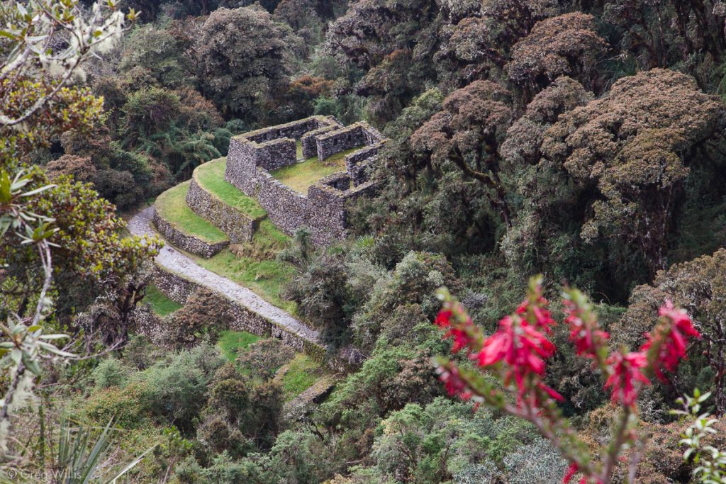
Conchamarka Ruins 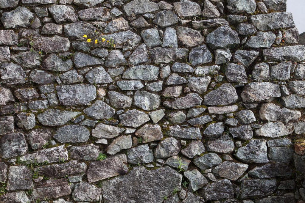
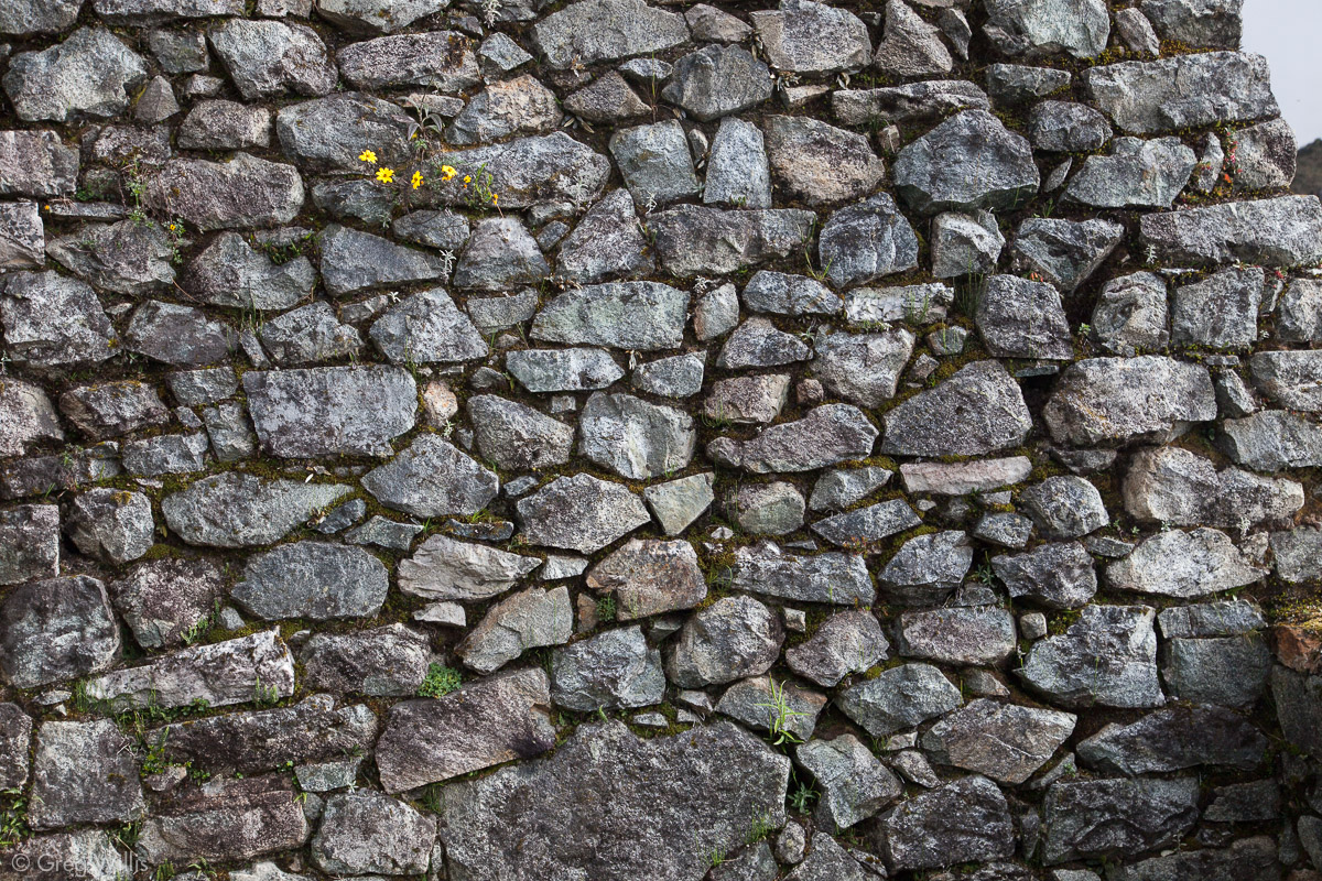
Sayacmarca Wall 
Sayacmarca 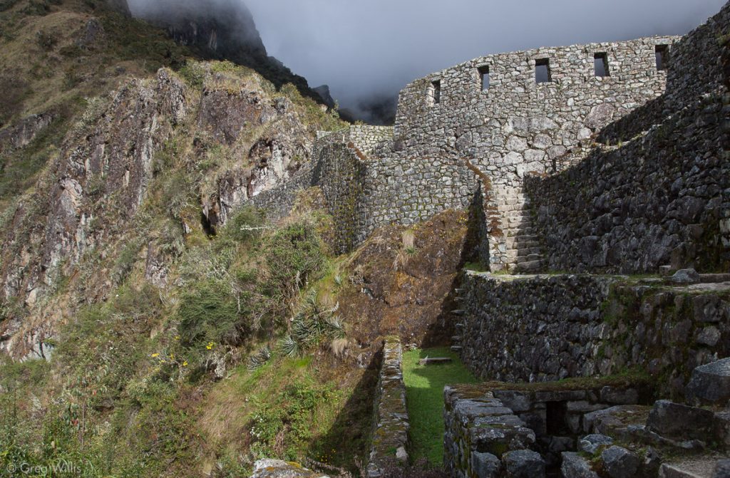
Sayacmarca 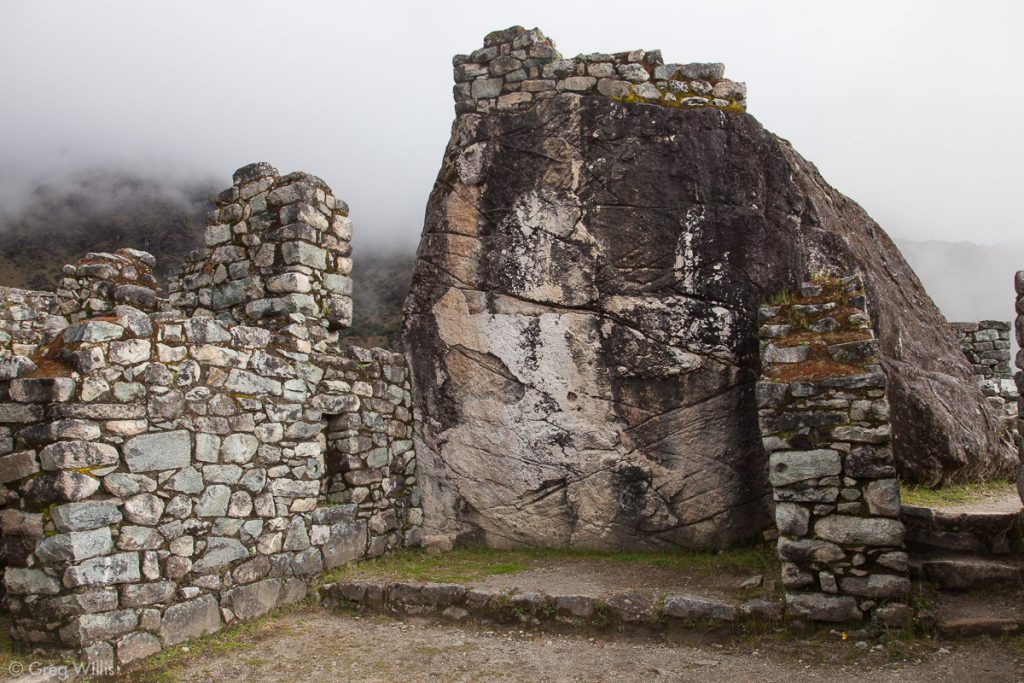
Sayacmarca with Incorporated outcrop
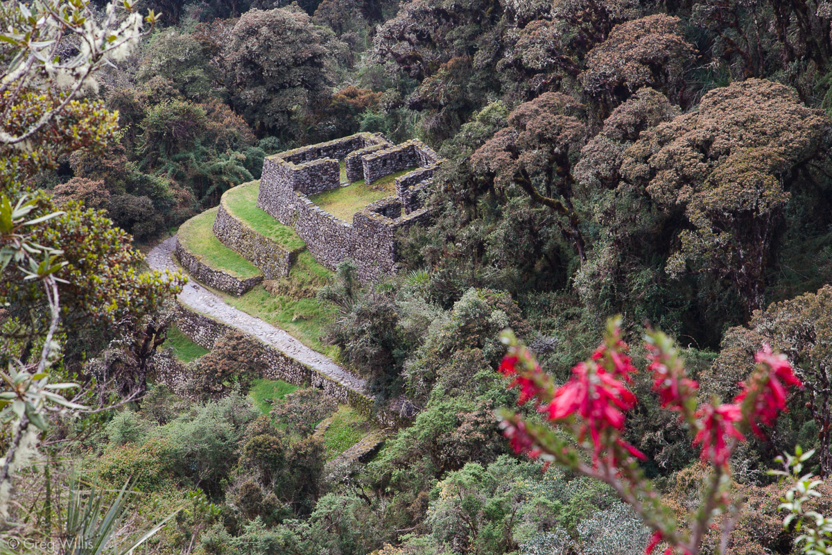


Chaquicocha, the night’s camp, was just a little ways beyond the ruins. Today was not the best day for the folks in our group, everyone ailed in one way or another. We all welcomed the hospitality of our porters, the dinner by our talented cook Pancho, and the evening’s rest.
- Places: Llulluchapampa Camp – Abra Warmiwañusca – Pacaymayo Camp – Abra Runkurakay – Chaquicocha Camp
- Inca Ruins: Runkurakay – Sayacmarca – Conchamarka
- Distance: 6 miles
- Time walking: 6:30
- Elevation gains: 1,500′ before Abra Warmiwañusca & 1,200′ before Abra Runkurakay; 2,700′ total
- Elevation losses: 2,000′ after Abra Warmiwañusca & 1,500′ after Abra Runkurakay; 3,500′ total

Leave a Reply