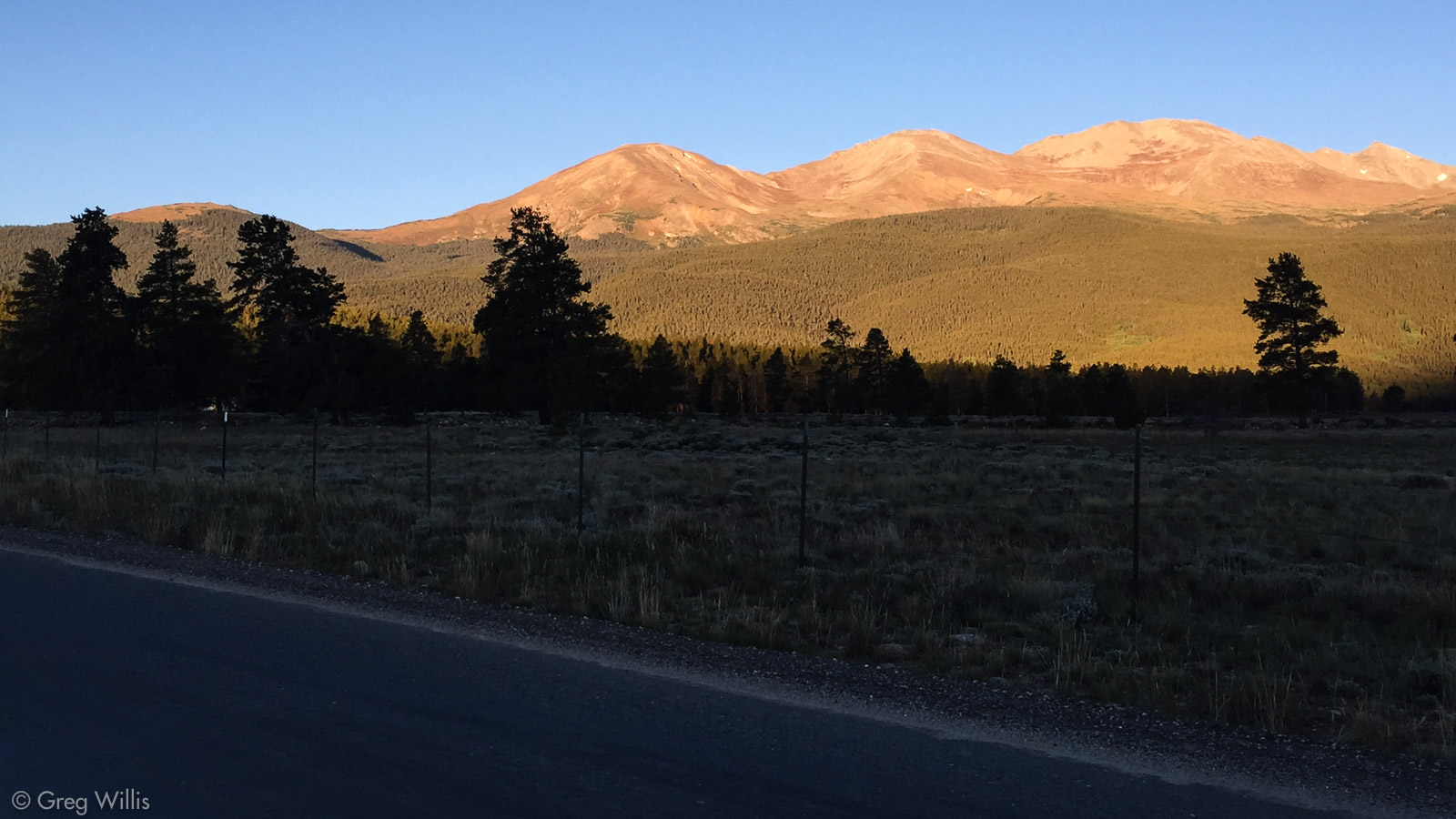
Looking from Leadville, there’s no doubt about Mount Elbert. Straight in front of you driving down US-24 is a proper Paramount Pictures peak of a mountain: a monumental triangular jab into the sky. To the right of that, however, lies the tremendous lumpy heap that comprises Mount Massive. Elbert’s the highest peak in Colorado – 14,440′, but Massive is right behind at 14,421′. And that’s only the highest one – it’s got a total of five peaks above 14K.
The plan was to do the Southeast Ridge up and the East Slopes down. As Gerry Roach says of the Southeast Ridge in Colorado’s Fourteeners “If you are fit and like to wend your way above the trail and its attendant crowds, this route is for you.” So I thought to myself, “I know I like to wend, so lets see how fit I am.”
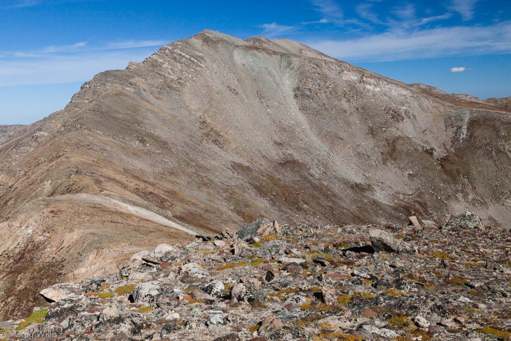
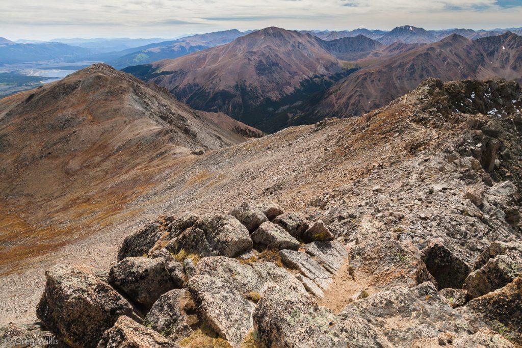
Looking at the Massive massif driving on south US-24 after Leadville, the trail is roughly all the lumpy bits left to right following the Southeast Ridge until you hit the top, topping the following peaks:
- Point 12,381 [then down 201′]
- South South Massive (13,630′) [then down 250′]
- South Massive (14,132′) [then down 232′]
- Mount Massive (14,421′)
So that’s about 700′ of elevation regain in addition to the 4,371′ trailhead-to-summit elevation gain – just under a mile of up. Here’s all of that in handy picture form:

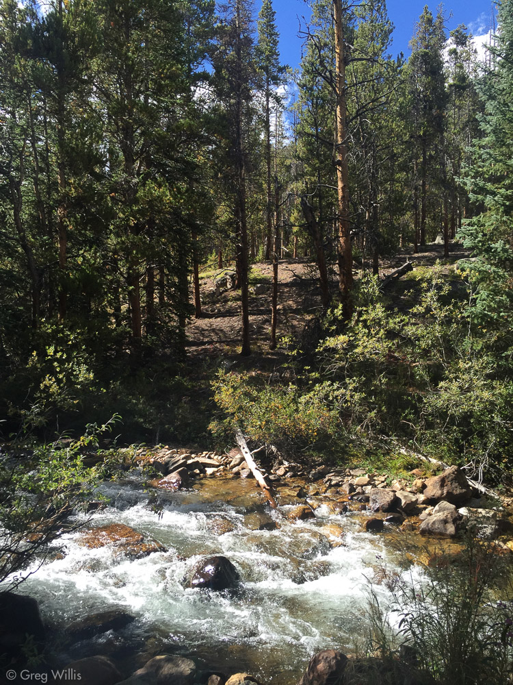
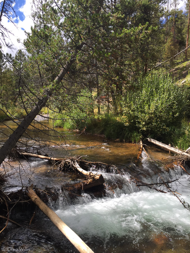
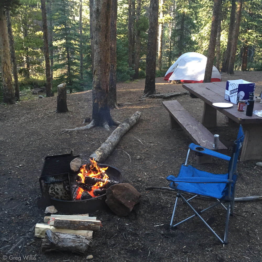
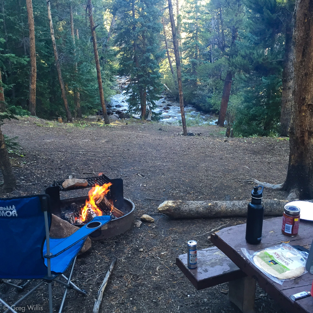
I drove from Denver in the afternoon and got a sweet campsite right next to the creek in the Elbert Creek campground. It was closed for the season, but ‘closed’ meant no campground managers, pit toilets were locked, and no fee for the night. But you could drive in and set up camp, so that’s what I did. Across the road were the heavily trafficked (oh yes) Mount Elbert pit toilets, so that was convenient if not luxurious. The creek was maybe 20 feet away from my tent, so it was going to be good sleeping with the natural white noise machine. And as this was a solo outing for me, the creek would be my campfire company.
I got that alpine start in the dark morning, headlamping it down the last of the road and the through start of the trail. About a mile and a half in, I took a left from the trail and started on the Southeast Ridge. There’s not really a trail, you just keep following the hump up through the trees. After treeline (~3mi) that perfect peak of Mount Elbert comes out and watches the rest of your climb.
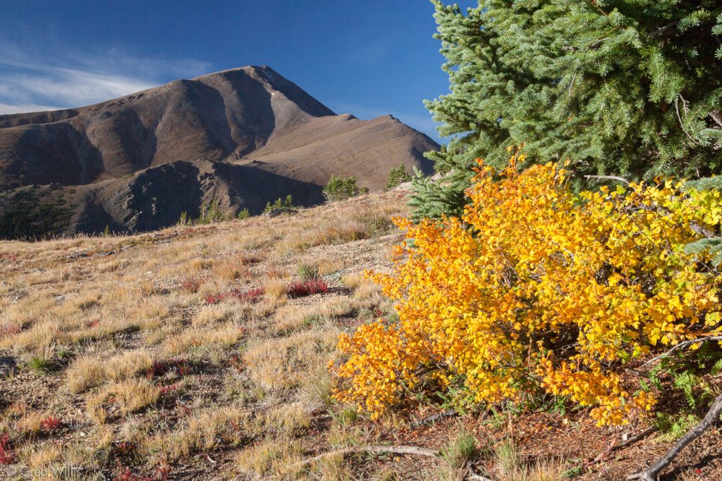
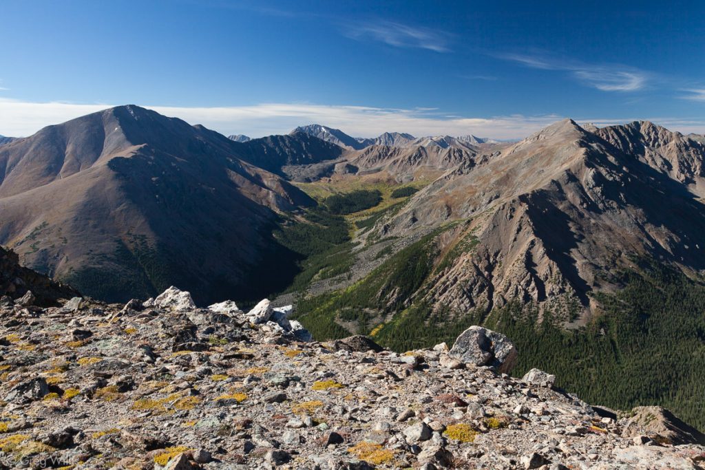
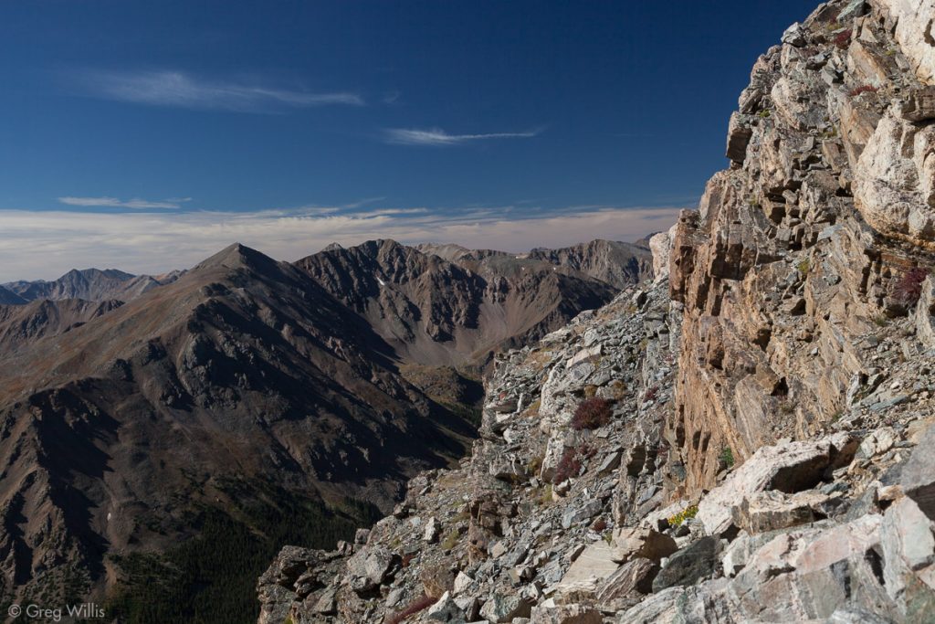
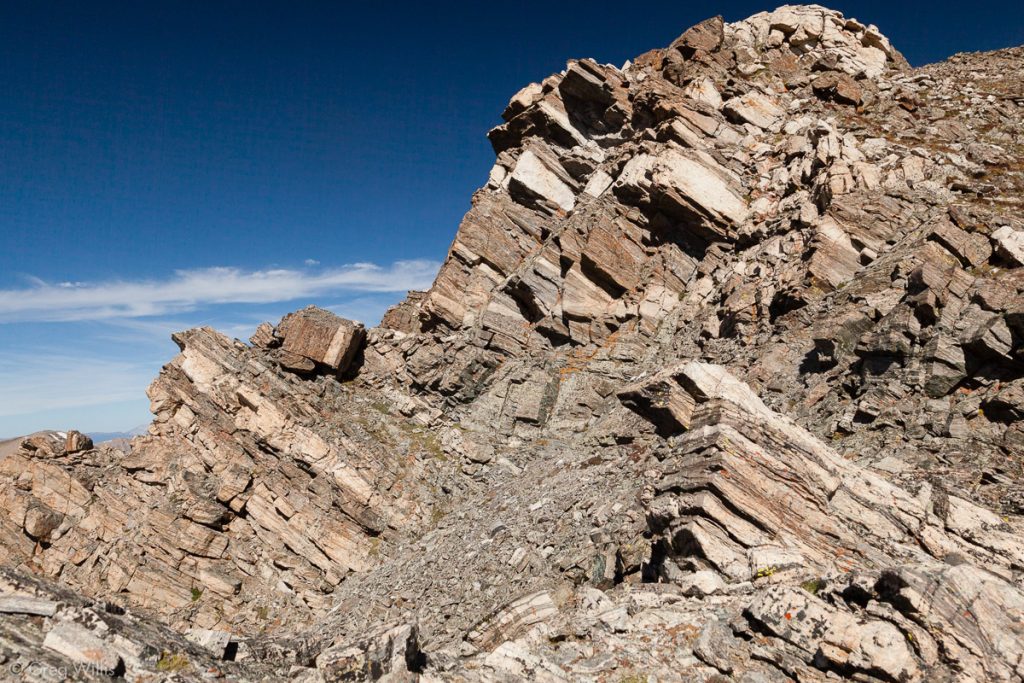
Not gonna lie, this pitch is a slog with no natural stopping points, no switchbacks, and no real view of what’s ahead. And this morning the wind and cold made it particularly unpleasant. Once atop South South Massive, the view becomes much clearer and magnificent: the first 14er of the day, South Massive. This section has some nice scramble and dramatic views.
Coming down from South Massive, the route finally meets up with the standard trail. And for the first time in the morning I begin to see other people on the mountain.
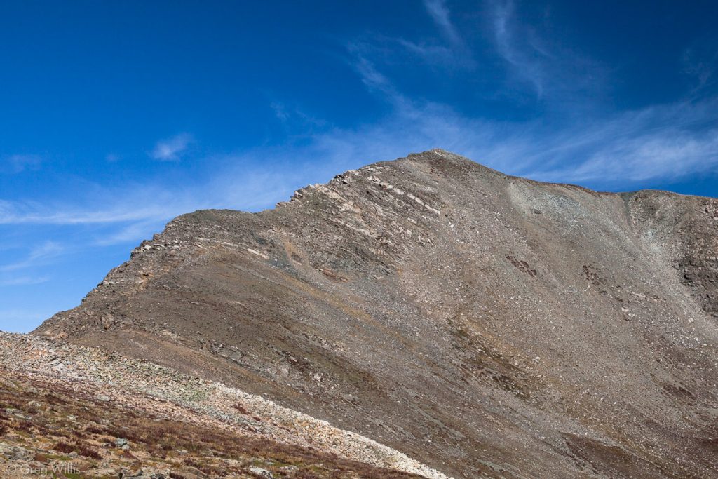
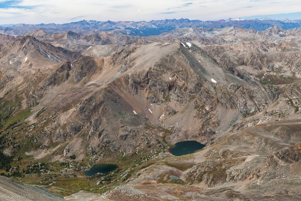
The final climb up to the official summit was not all that difficult, especially compared to the South South Massive slog. As to the actual summit, there are two high points up there and I went up (and had my summit whiskey) on both, just to be on the safe side.
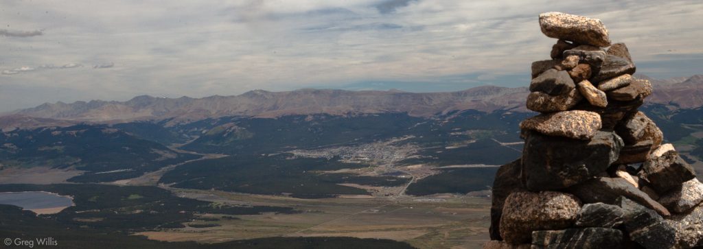
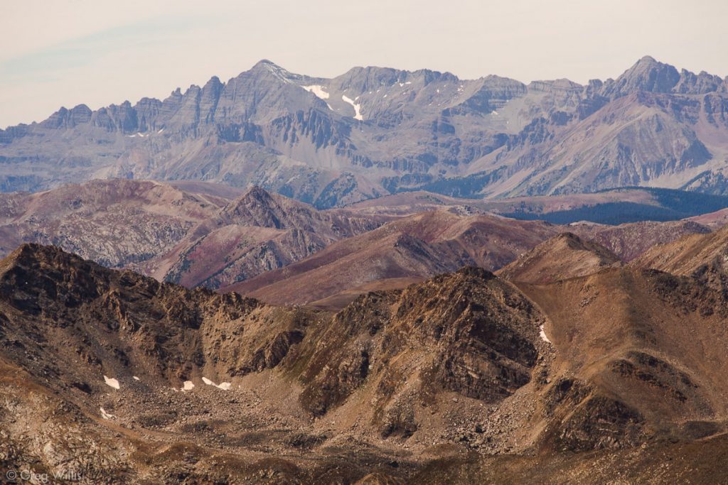
The descent was straighforward and, honestly, a bit monotone. In contrast to the ascent’s pathless ups and downs, and direct steepness, the way down was obvious, gentle, and long. You get the normal views of the upper Arkansas Valley that the Sawatch range gives you. But the treat is the town of Leadville laid out on a tablecloth right there in front of you as you start down.
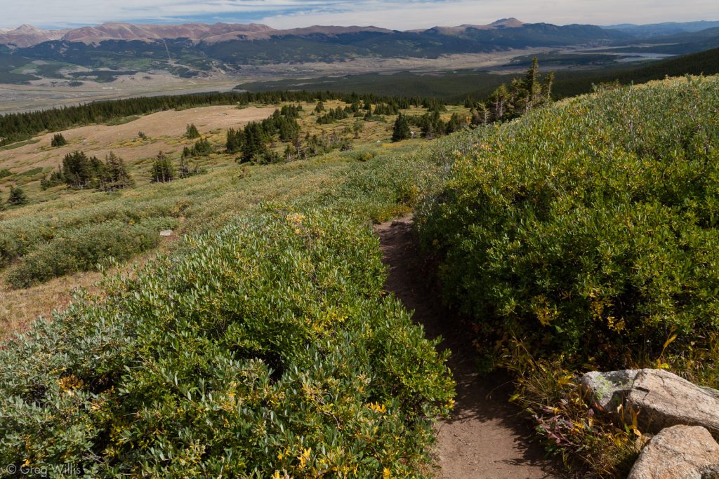
Before you hit treeline again, you get a good helping of willows. It reminded me of Mount Bierstadt without all the swampy bits & boardwalks.
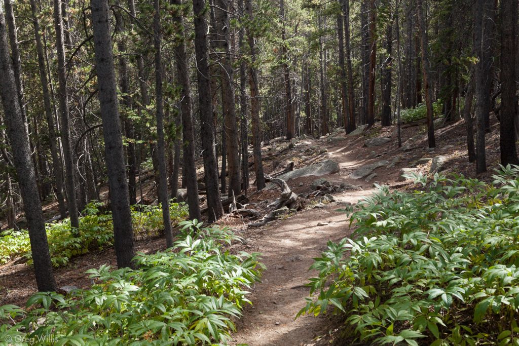
Then once you get into the trees, the path just seems to go on forever. There is forest, forest, and more forest as you walk along a trail that stubbornly refuses to go down.
Finally it starts down again, and I pick up where I left the trail up the Southeast Ridge and retrace my steps to the trailhead then back to my creekside campsite
Thoughts
The fact that I was getting over a cold made the Southeast Ridge more difficult than it should have been, but I’m glad I did it. A loop trail is rare for 14ers, and just the thought of walking that long, long forest part twice makes me cringe. And the lack of other people for almost half of the climb was well worth the effort. If you’re doing Mount Massive and are up for a challenge, I would heartily recommend the Southeast up and East down route.
- When: 7 Sept 2016
- Distance: 11.4 mi RT
- Net Elevation: 4,371′
- Total Elevation: 5,174′
- Time to Summit: 6:00 hrs
- Total Time: 10:00 hrs
- Summit Whiskey: Breckenridge Port Cask Finish Whiskey

Leave a Reply