- Trek to El Mirador, Guatemala: Part 1, Day 1
- Trek to El Mirador, Guatemala: Part 2, Day 2 & 3
- Trek to El Mirador, Guatemala: Part 3, Day 4, 5, & 6
NOTE: So, why Trek to El Mirador, Guatemala? Why spend about a week in the jungle? Well there are four ancient Maya cities that few folks ever visit. No roads lead there. Your choice is to walk, to ride an animal (mule of horse), or to fly via helicopter. I am no equestrian, and our experience in Namibia leads me to avoid the flying (because it avoids the journey). Hiking, that’s a mode we’re familiar with.
Table of contents
The cities are Maya Pre-Classic. Archaeologists called it Pre-Classic because they thought it was just a lame warmup to the prime time Classic Maya (like Tikal or Copan). Turns out, the Pre-Classic cities were as large and advanced as the Classic. They’ve recently discovered this because the cities are hidden in the jungle where no one lives.
Because of the newness of these discoveries, information devilishly difficult to come by. I’ve got a Resources page with some of the stuff I found, for those of you looking.
We booked the trip with Henry Sanchez of Onca Travel, a travel agency in Flores. I had hoped that Henry would be leading the trip, but not. And the guide we did get did not speak English. Hilarity ensued, or not.
The hiking was about 70 miles, per my handy GPS. That’s just straight trails form camp to camp. Random wandering and exploring added another 20 miles.
So what follows is a day-by-day narrative, mainly pulled from my notes. Enjoy.
Day 1 – The Journey Begins
Starting off in Carmelita
We pull into Carmelita close to 09:00 after a 3 1/2 hour drive from Flores. I would not say that this small village is god-forsaken, but I would say that it is a town bereft of charm. The low buildings are generously spaced from each other, on either side of the road. The wide, newly cleared land feels empty. And the plentiful trash doesn’t help.
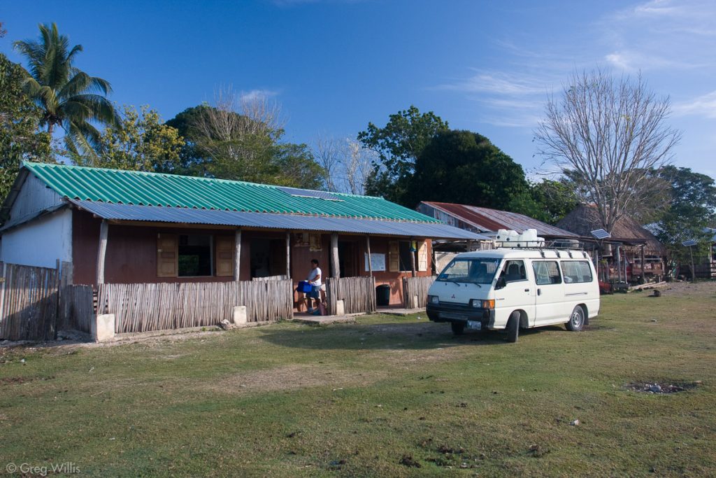
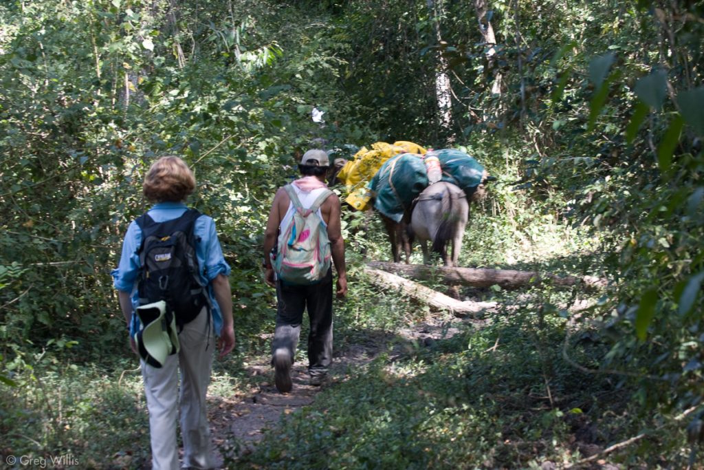
The driver takes us into one of the buildings, and a woman greets us with breakfast. She speaks a little English, enough to tell us that our speaking just a little Spanish is not unusual. A few men stop by. The woman introduces us to Eladio, our guide, who speaks no English. Eladio and his 15 year old son methodically take the provisions that were on the minibus, place them into burlap sacks, and load up the mules. Four mules in all, with his son riding the first. We, however, were walking.
A quick “Listos?” and we’re off. About 10:00. Eladio leads the way. He has a well-worn, dirty Barbie backpack into which he has placed about four dozen eggs. I suspect the mules are not to be trusted with eggs. We walk along a decent logging road for a while.
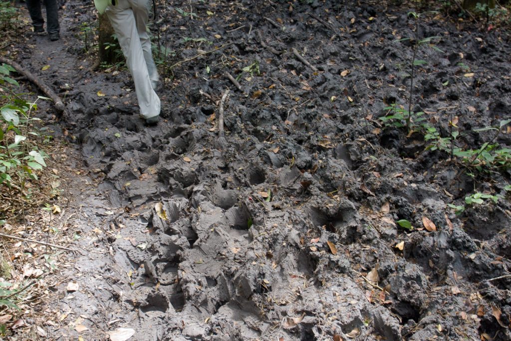
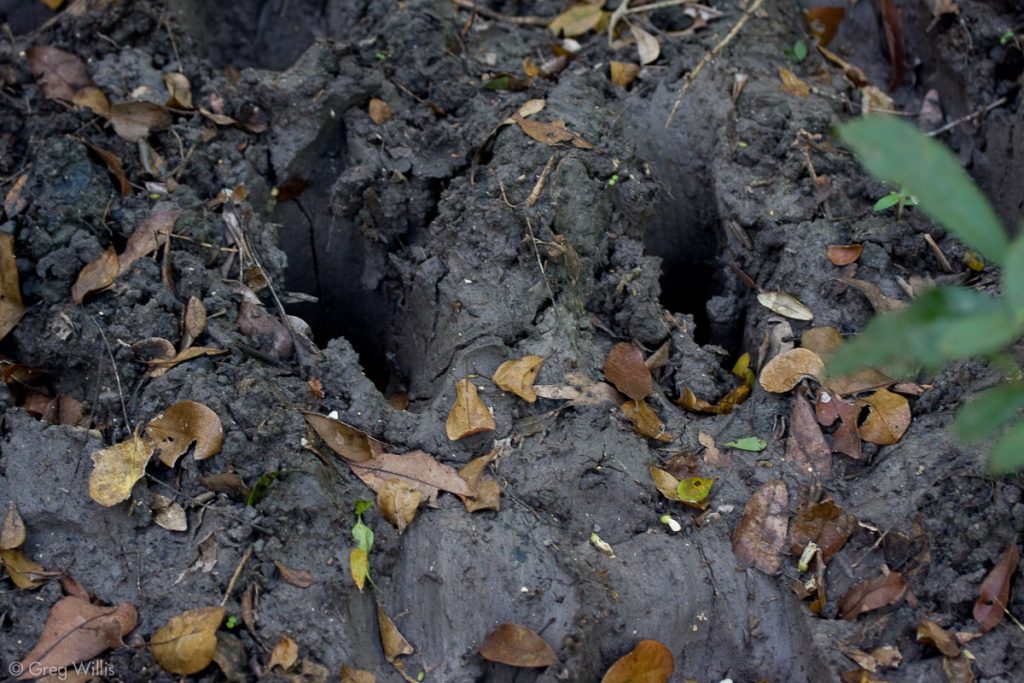
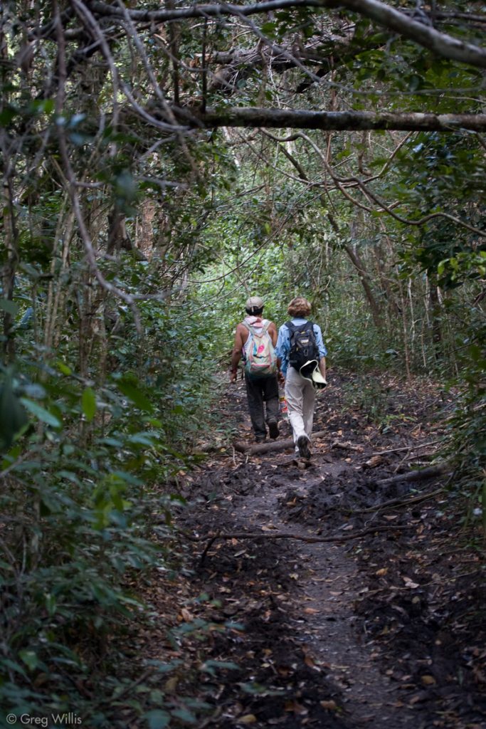
Then the mud begins. Quite intentionally, we are here during the dry season. The mud is not soggy. It varies in consistency from warm caramel that sticks to your shoes to just plain hard. But dozens of trips by dozens of mules during the wet season has churned the mud into a chaos. Between the tops of the mud and the bottoms of the mule step holes – 8″ normal, 12″ if it’s bad. You have to watch every step you take, lest you twist your ankle. And this isn’t an every-so-often occurrence. This mud is the majority of our six hours of hiking. Physically, it’s flat. Not a big deal. But mentally, it’s exhausting. There’s no time to think, daydream, or even look at the trail ahead. Your eyes have the keep focused on your next step.
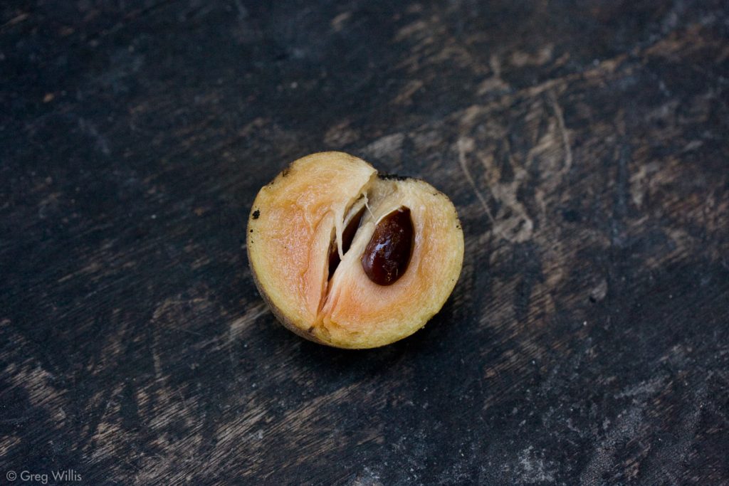
Eladio stops and picks up a fruit laying on the ground. “Sapote,” he calls it. (Also known as Sapodilla.) I take a bite: sweet, slight cinnamon taste, like bread pudding, wonderful. It’s also the tree that produces chicle, the chewing gum ingredient the Eladio harvest during the rainy season. The trees are carves with a cross-hatch pattern to gather the sap. I keep a lookout for fallen sapote fruit.
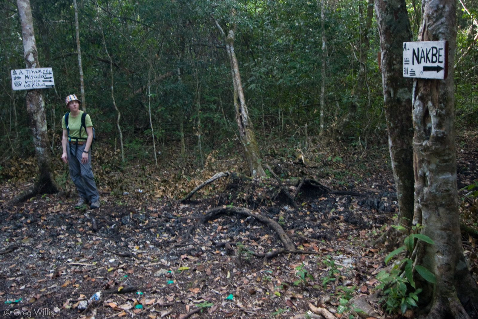
It’s 13:00 and we stop for lunch. We ‘re at a crossroads where the path to La Florida splits from the Carmelita-Exl Tintal path that we’re on. The meal is nothing fancy: a small container with beans and some chicken that we scoop out with the tortillas from breakfast. But it’s hearty, filling, and tasty.
After lunch we see someone approaching up the path we came from. It’s a cheerful man with a rifle. His name is Juan Carlos and he’s a guard at el Tintal, the Maya city where we end today’s hike. His enthusiasm and loquaciousness stand in dramatic contrast with Eladio, who even when speaking to Juan Carlos uses few words and no smiles. We all continue for el Tintal.
Tintal
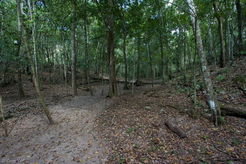
El Tintal was a Middle Pre-Classic Maya city that was reoccupied during Classic times. So the older parts are ~3,000 years old (1000 BCE) and the newest parts are ~1,000 years old (900 CE). As we entered the southern, older part of the city (at 14:00), Juan Carlos pointed out that were were walking on a sacbe (Mayan for “white road”). It’s a causeway, about 30-50′ wide and about 20′ higher than the surrounding swampland. Time had smoothed it to a noticeable hump – like an extremely crowned road. Back in the day, the Maya paved it with plaster – hence the white. After all the mud we just walked through, I have no question why they built them.
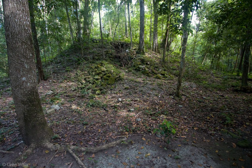
After walking through occasional ruins for about half an hour, we turned west and crossed the east canal. El Tintal, it seems, had a moat – with canals surrounding the city. Defense? Water collection and storage? Who the heck knows? We continued west, climbed up the platform for the whole city, and passed through an old ball court. This was the first large structure we encountered. And you could tell it was a ball court: two sloping sides parallel to each other. But to photograph, a challenge. Trees were everywhere, nothing had been cleared. So what seems so obvious when moving around it, in a camera becomes just a jumble of flora and a pile of rocks. What photos I have are, I’m sorry to say, the best of the bunch.

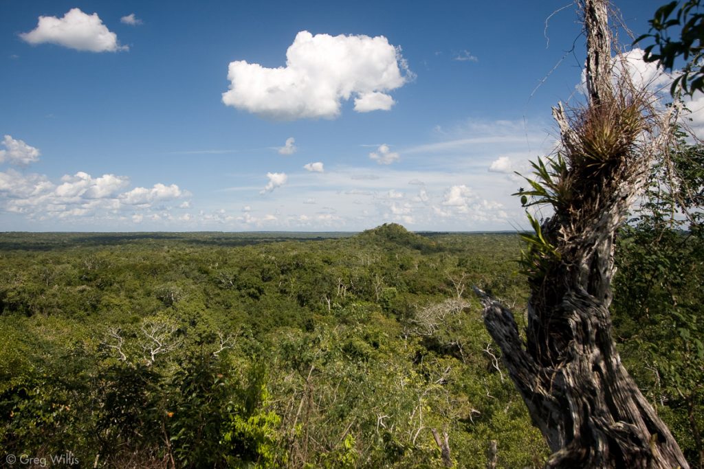
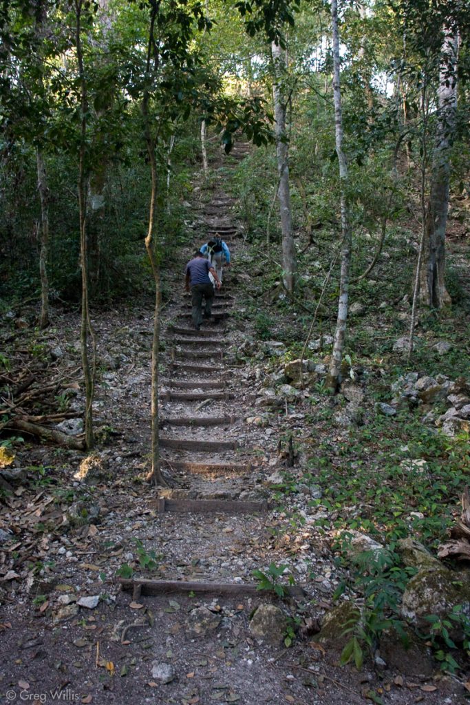
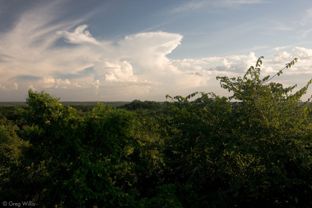
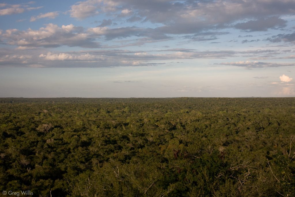
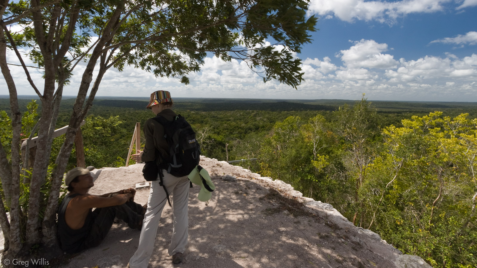
We then continued to the base of a pyramid, then scrambled up the side. Pre-Classic pyramids are a large structure with a pretty good size platform on top. And on this platform are usually three pyramids – one large one and two smaller. From the platform we climbed up the highest. Topping out far above the surrounding trees, the view from the pyramid was expansive. We saw the other two pyramids in el Tintal.
We descended and headed north out of the old part of the city, passing one of the pyramids we just saw, and that we would climb later, on our way to camp, arriving at 15:30.
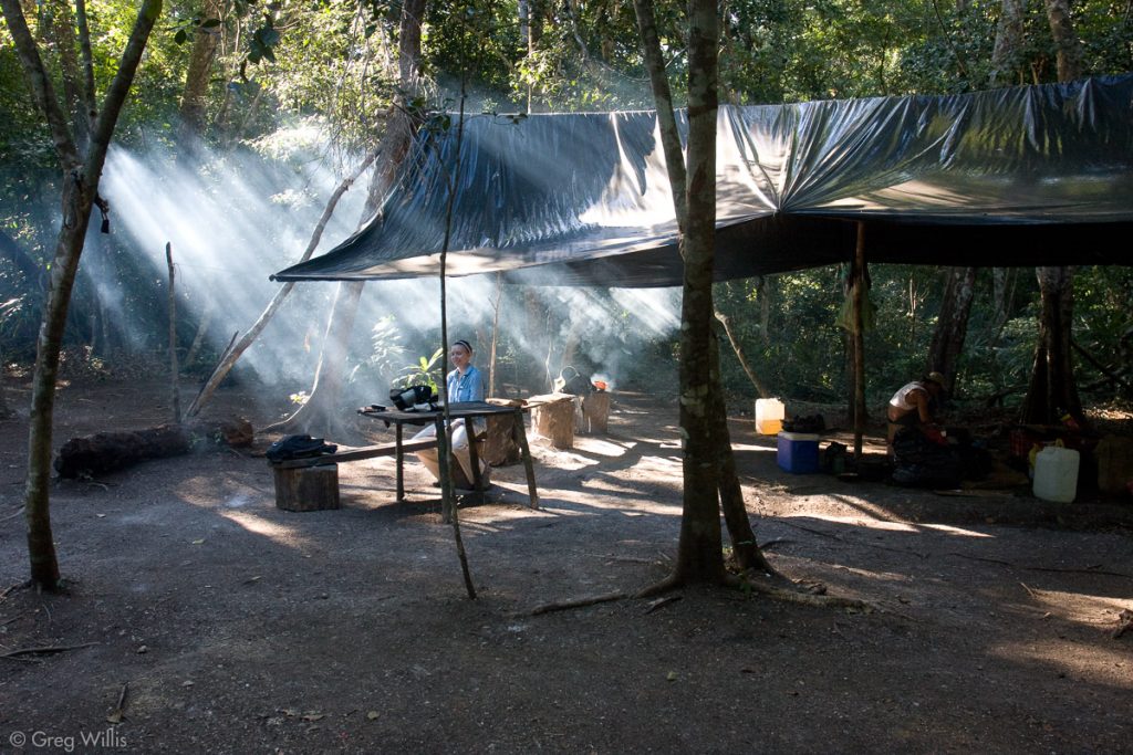
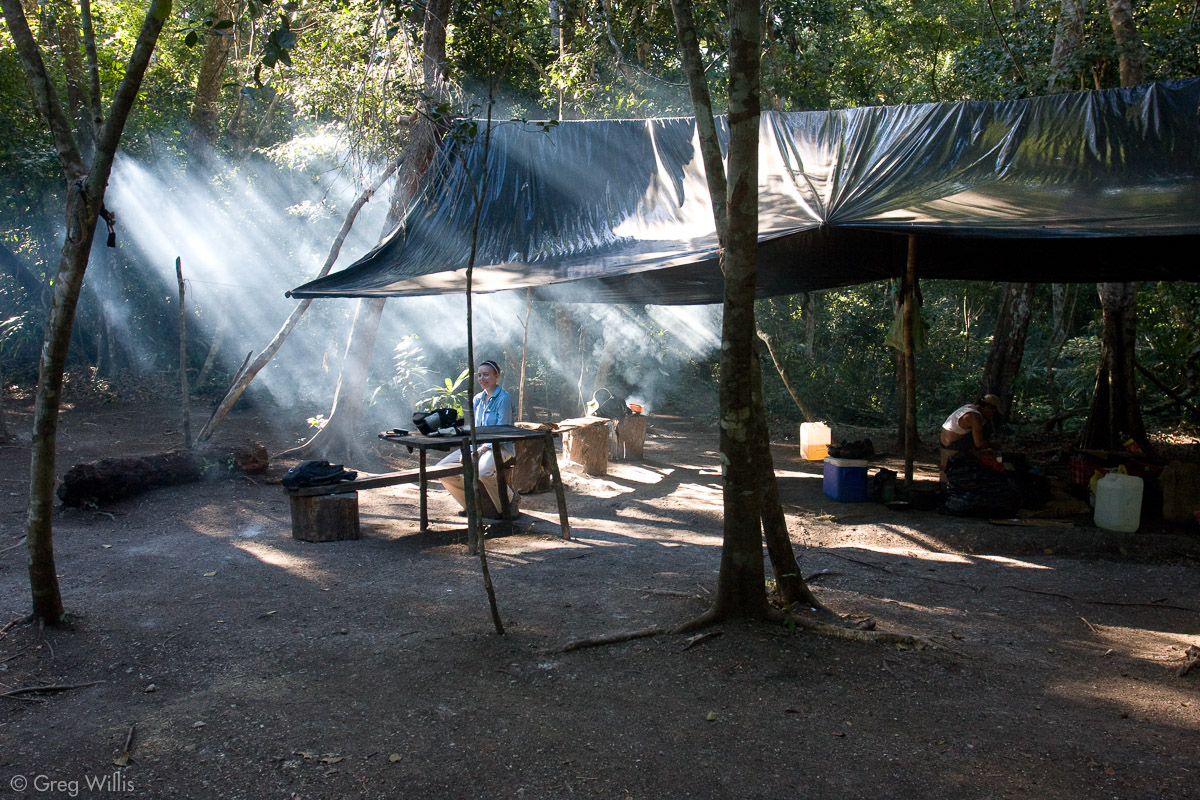
Eladio’s son had gone ahead to camp with the mules, which were unloaded when we got there. Eladio started a fire and began setting up the camp for the night. We were to go to the second pyramid at 17:00, so we relaxed and explored the camp a bit. The camp had two thatched permanent structures, one for sleeping and one for cooking, for the guards. A few tarps covered other areas, including ours, mainly for the tourists. The latrine was thatched roofed with a tarp as walls.
Ate more Zapote fruit. It fell from the tree and almost hit me on the head. It’s a strange place where candy falls from the sky.
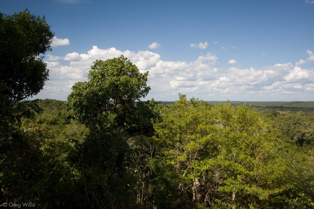
We left on time for the pyramid. This one was in the part of el Tintal reoccupied in Classic times. The later Maya had cleared the upper platform of two of the Pre-Classic pyramids, and enlarged the remaining one, which we ascended. It’s in a much better state than the first temple. And being higher, the view of the surrounding landscape was even more expansive. Close by we saw the other two El Tintal pyramids. And as Juan Carlos pointed out, in the distance we could see structures from Mirador and Nakbe, as well as many other unidentified lumps on the jungle.
Another group, 5 guys and their guide, joined us on top. The guards were also there. Between 16:00 and 18:00 they could usually get mobile phone coverage up here, so they held their phone high to talk with their families back near Carmelita.
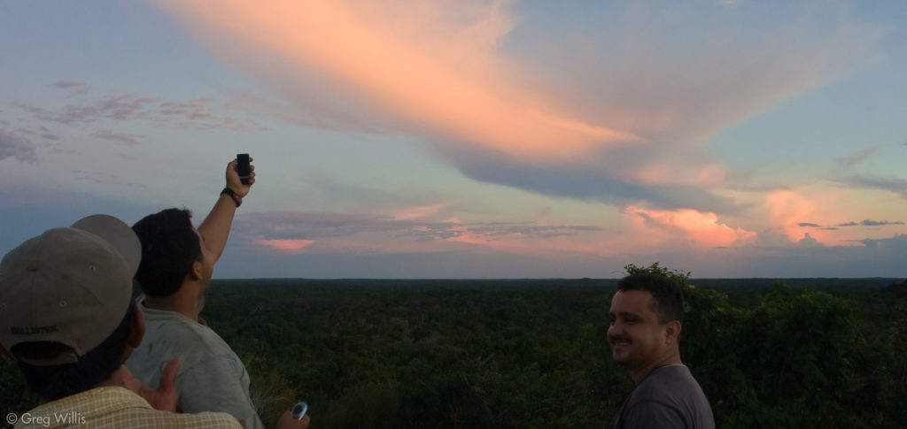
After watching the sunset, we walked back to camp. Dinner awaited us. Afterwards we wrote in our journals for a while. Eladio fried the chicken for tomorrow’s lunch in the dark, a lone candle tied to a tree illuminating his cooking. He turned the chicken in the hot oil with his fingers. Soon, we climbed into our hammocks and tried to sleep. Thoughts before sleep mainly centered on how did this land support that many people? The sacbes are huge and so is the whole city. And today, no one lives within miles. The structures here have no reconstruction, buildings are in a very natural state. I had thought that El Tintal was just an overnight with a couple of buildings. I didn’t expect to find such a large and impressive city.
Day 1 Stats
- Breakfast: eggs, beans, tortillas in Carmelita
- Lunch: beans, tortillas, chicken en route
- Dinner: chicken, tomatoes, onions, rice
- Hiking: 15 miles in 5 hours 20 minutes (Carmelita -> El Tintal camp, plus first pyramid, excluding the second)

Leave a Reply