Day 12: Ranipauwa to Kagbeni – 28 Mar 2010
- Annapurna Circuit: Part 1, Trekking 101
- Annapurna Circuit: Part 2, Gorge-ous
- Annapurna Circuit: Part 3, High Valley of Manang
- Annapurna Circuit: Part 4, Up & Over
- Annapurna Circuit: Part 5, Kali Gandaki
- Annapurna Circuit: Part 6, Hot Springs and Pink Mountains
- Annapurna Circuit: Should You Hire A Guide
- Annapurna Circuit: How Much Does Trekking the Annapurna Circuit Cost?
Ranipauwa is the last of the traveling trekking circus — the group of fellow familiar travelers you’ve encountered on the trail and in the lodges leading up to the pass. On the AC before the pass you have no other options but to walk, but after the pass jeeps and airplanes make walking only one, and the slowest, of your choices. And the time-constrained come down from the Thorung La not stopping until they reach the Jomsom airport. I am sad for them, for the places we visited before we got to Jonsom were the finest of the entire trek.
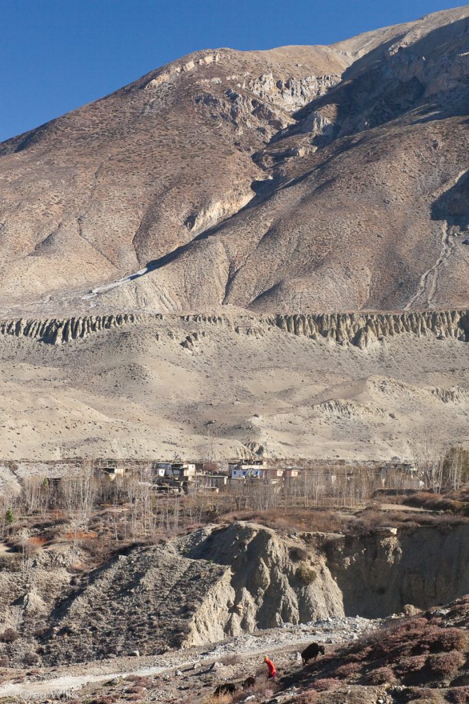
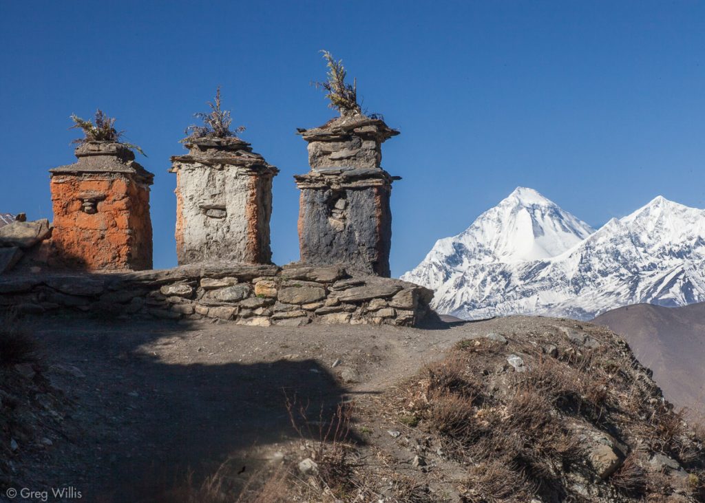
Instead of taking the main road out of Ranipauwa, we took a side-trip this morning to see a couple of villages on the other side of the Jhong valley. These villages are officially in the Kingdom of Mustang and expensive travel permits have only recently been waved. So contrary to the relative metropolitan pilgrimage bustle of Muktinath, the other towns in the Jhong valley retain their more quiet and less touristy demeanor.
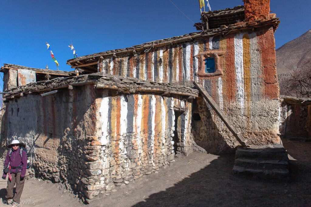
The first village we came to was Chhokor (or Chongur or Chhyonkhar). The houses in this small village are brightly painted with red, yellow, black and white stripes, which is a custom of the Sakya sect of Tibetan Buddhism we had not previously seen. There’s a gompa here as well, but it wasn’t open when we passed.
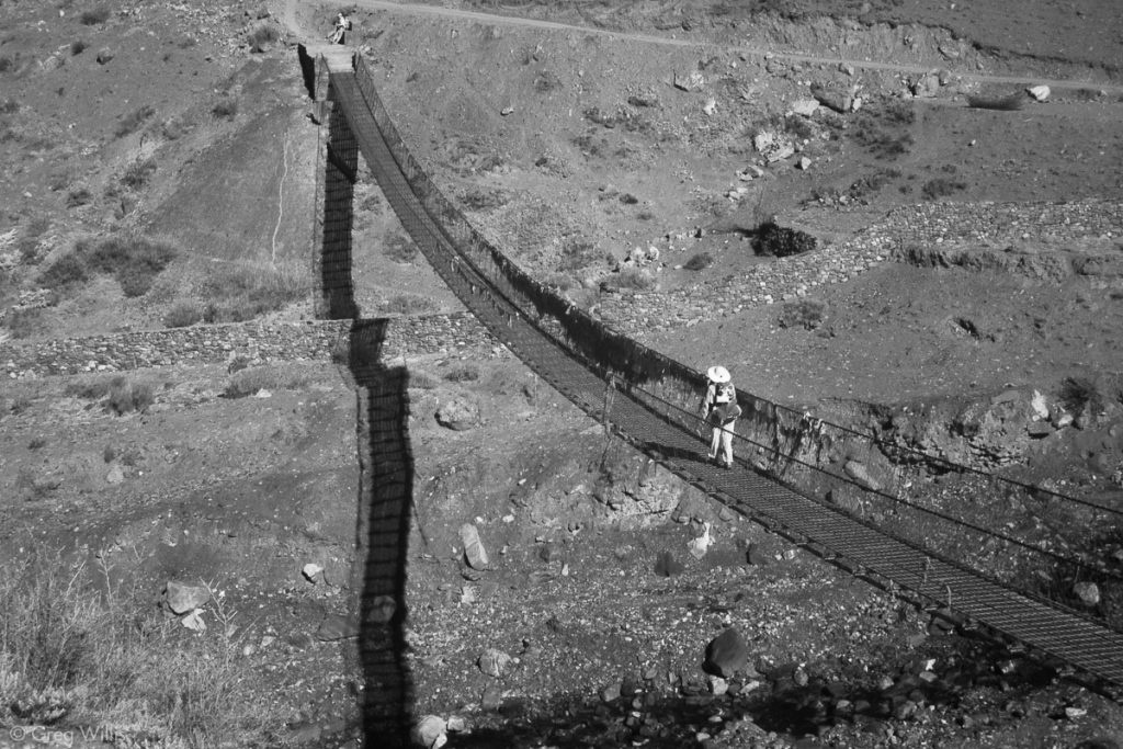
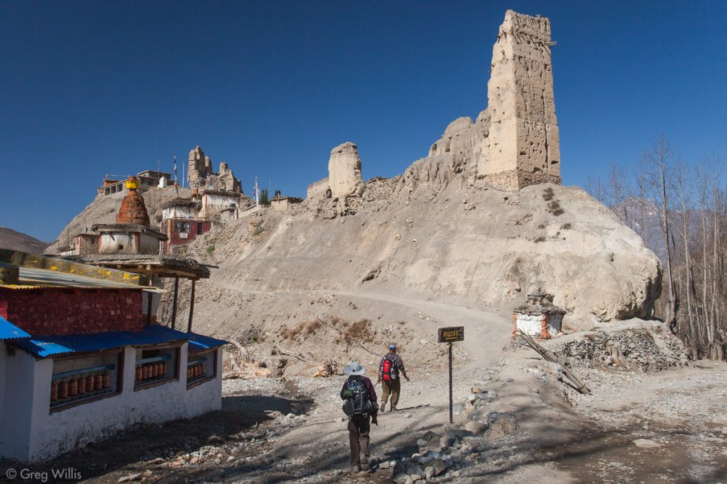
We crossed the Jhong Khola on our way to the morning’s main attraction, the impressive village of Jhong, or Dzong, which means ‘fortress.’ And indeed above the village on a commanding ridge beside the river stands the ruins of a 14th-century fort, although there’s not much left of it.
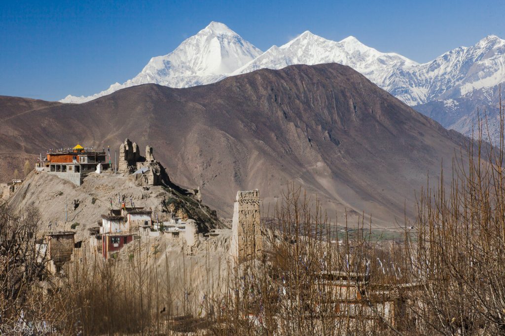
And even higher on the ridge stands the 16th-century red and yellow gompa, which is definitely worth a visit. The monk was very friendly and the interior was quite colorful.
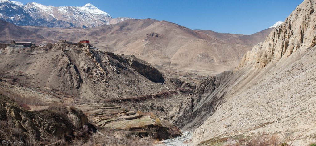
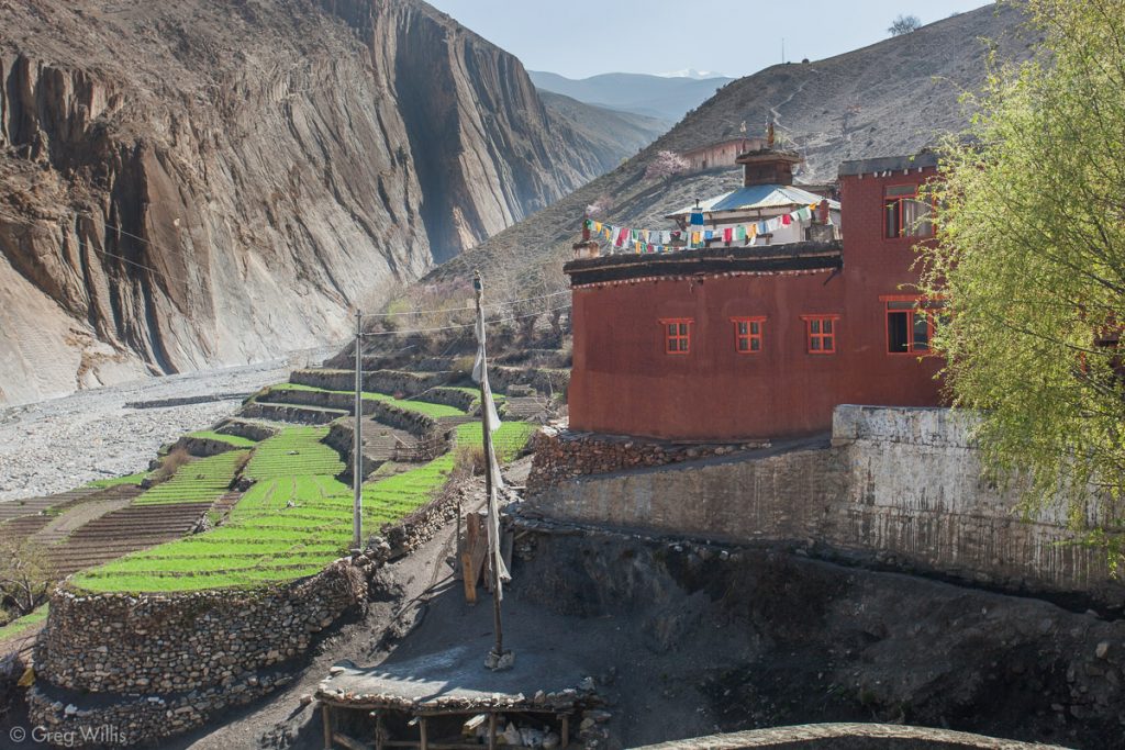
We then headed back across the Jhong Khola valley to Jharkot, with its red gompa prominent on its ridge.
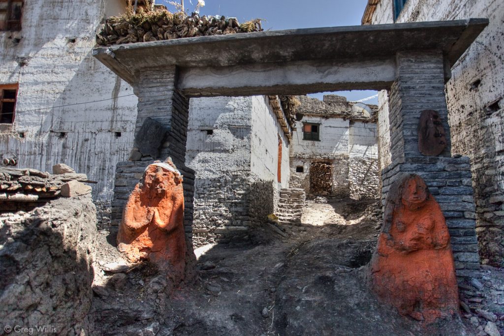
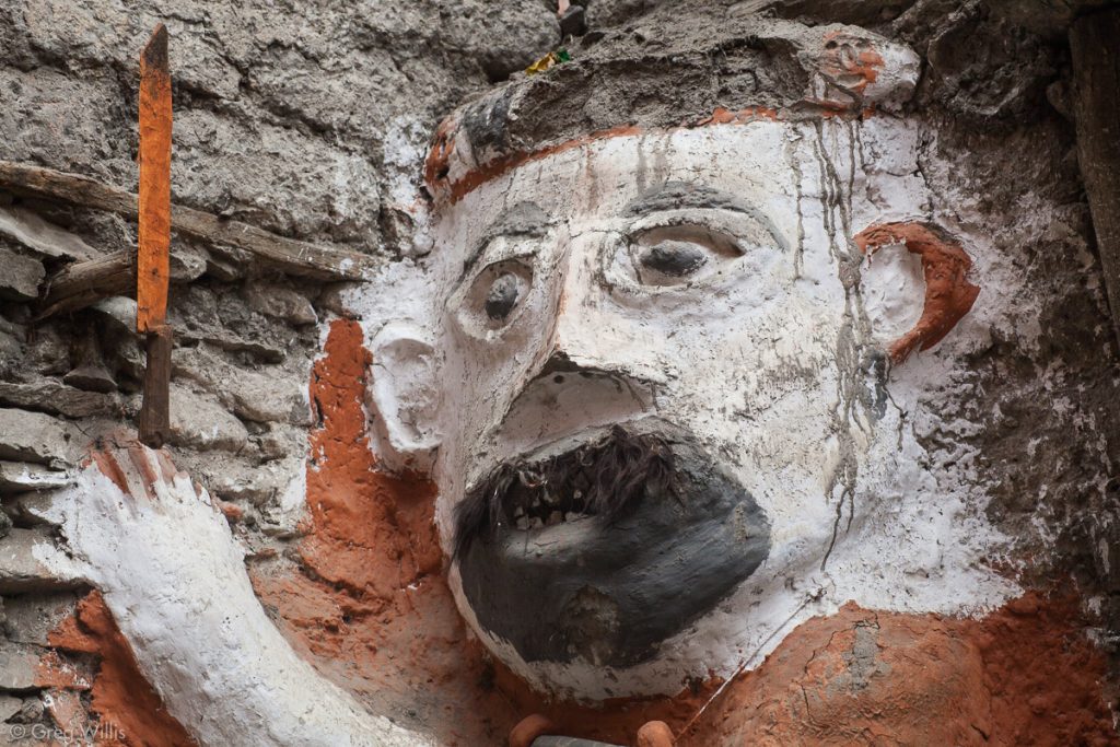
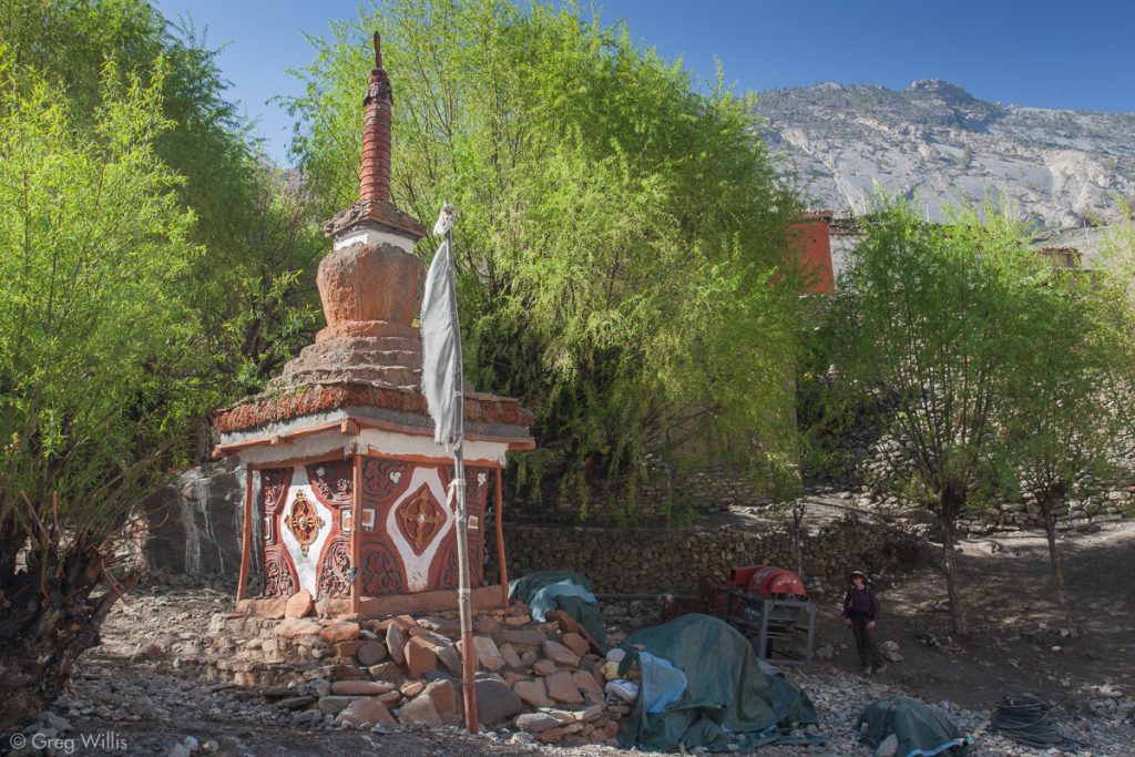
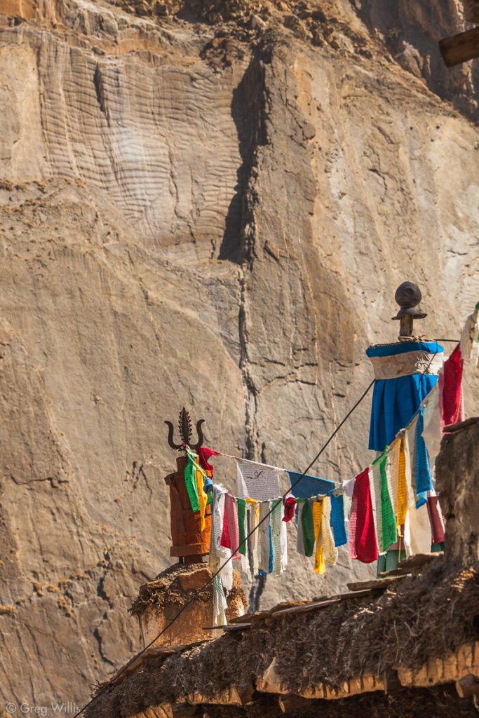
As part of the Tibetan/Upper Mustang influence, the people in this region follow some of the practices of the Bon. The Bon tradition — animistic and shamanistic — was the religion in Tibet before Buddhism arrived. The shamans of the Bon and the lamas of Buddhism have hundreds of years of antagonism — Bon having more than a little black magic about it, according to traditional Buddhism. And even after the Bon had been incorporated into Buddhism, conflict continued. So although they belong to the Sakya sect of Buddhism, underneath you can find some of the old ways. I mention this because you find elements of the older Bon practices in these towns. In Jharkot male and female khenis, or ghost eaters, guard the main gate of the town.
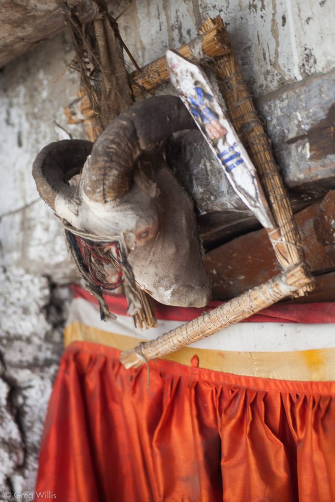
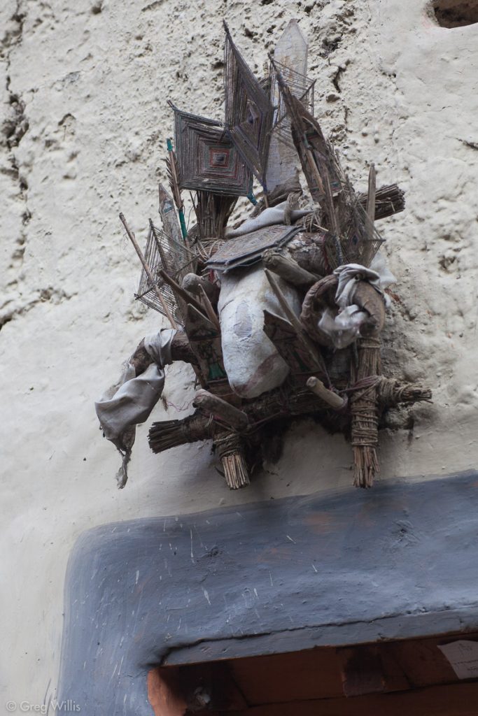
And above the doorway of many houses, a decorated goat or sheep head guards against evil spirits.
You should visit the red gompa both for the view outside and the murals inside.
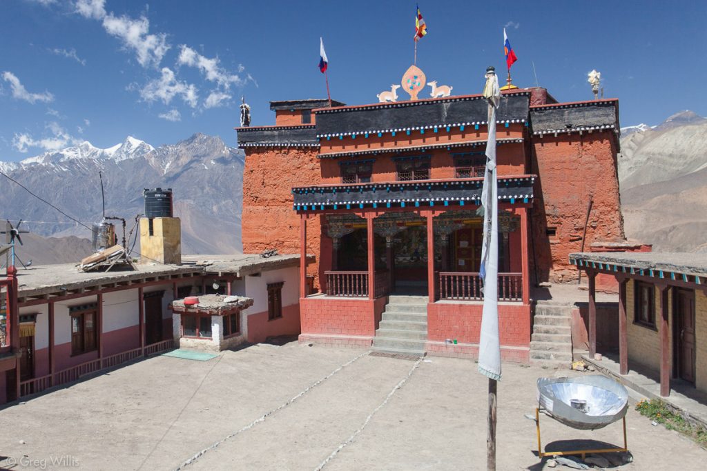
From Jharkot we joined the much trafficked jeep road on our way down the valley to the Kali Gandaki. The cliffs in the north side of the valley were riddled with abandoned Buddhist caves. Built by the Tibetan/Upper Mustang ancestors, this warren of connected caves are thought to be almost three thousand years old.
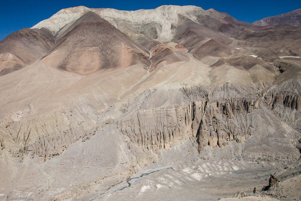
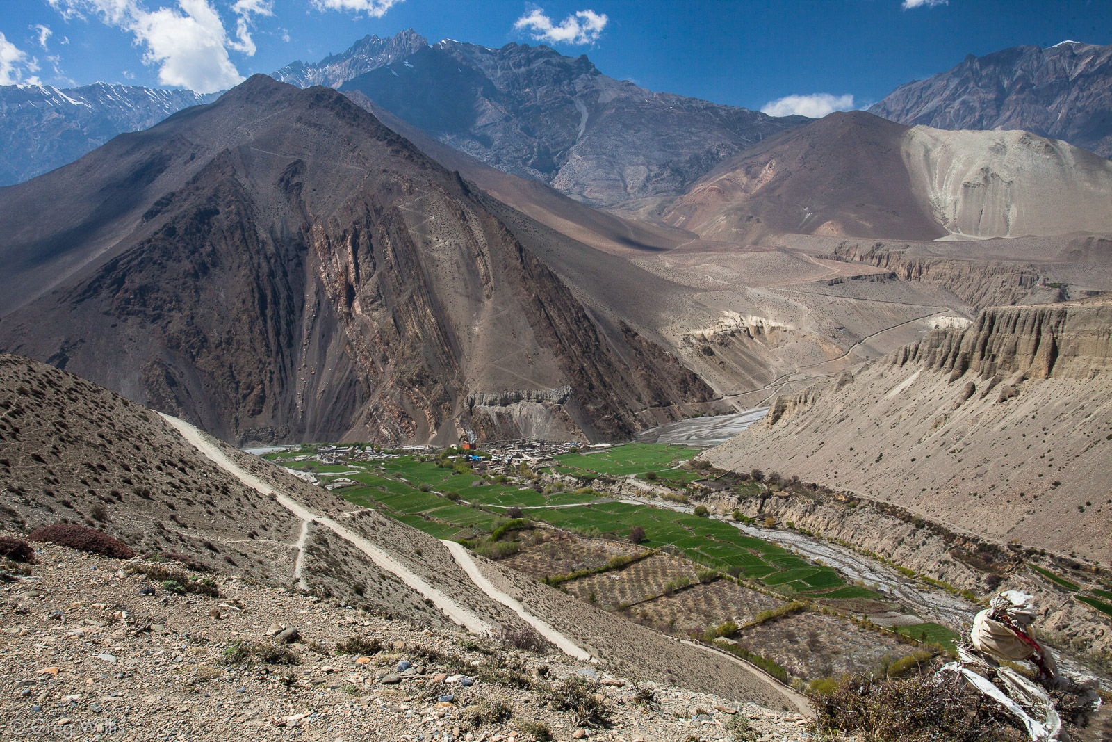
The jeep road forked with most of the jeep traffic keeping to the left, headed for Jomsom. We continued to the right which lead to our not-to-be-missed town of the whole AC, the verdant Kagbeni.
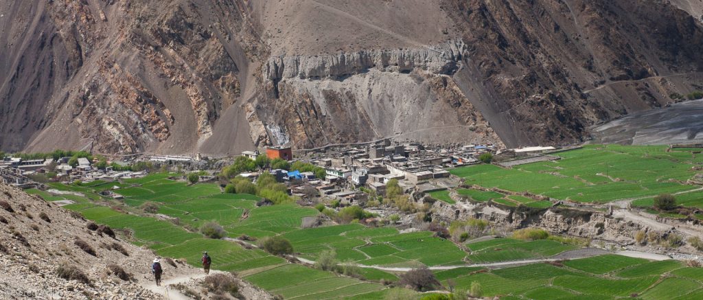
The Upper Mustang is an ancient kingdom that Nepal only opened to tourism in 1991. The US$500 permit to visit the kingdom limits the number of tourist and limits the influence of the outside world. Kagbeni is the gateway to this restricted land and remains a part of the Upper Mustang culture. It is large enough for hours of exploring, and exotic enough to make that exploring worthwhile. The Bon influence is unmistakable. We agains saw a kheni (ghost eater), another gray striped red gompa, and sheep heads above doorways to ward off evil.
We stayed in the best lodge of the trek Red House Lodge which overlooks both the palace and the river, and has a 300 year old Buddhist chapel with a huge Buddha statue in it. And in addition to the history and good food here, there’s the the warm and friendly Pema Dhoka.
My ardent advice is to not bypass Kagbeni in your rush to Jomsom. It’s a stay you will not regret.
- Places: Chhokor – Jhong – Purang – Jharkot – Khingar – Kagbeni
- Time walking: 5:40
- Elevation loss: -2,850 ft
- Lodging: Red House Lodge
Day 13: Kagbeni to Marpha – 29 Mar 2010
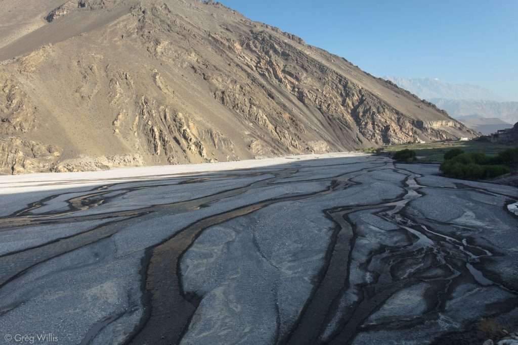
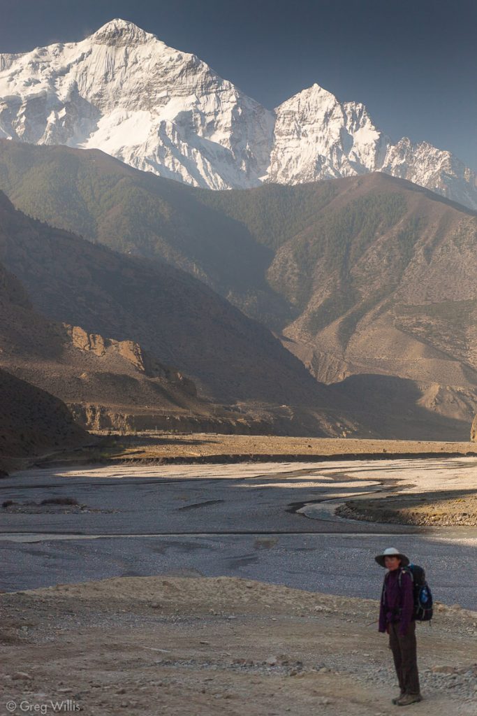
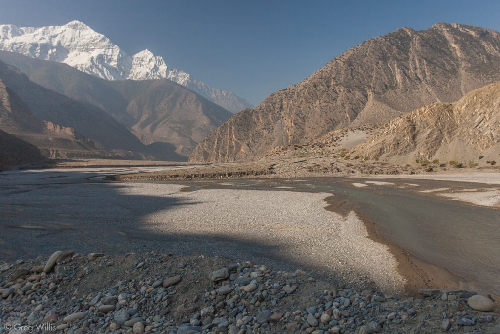
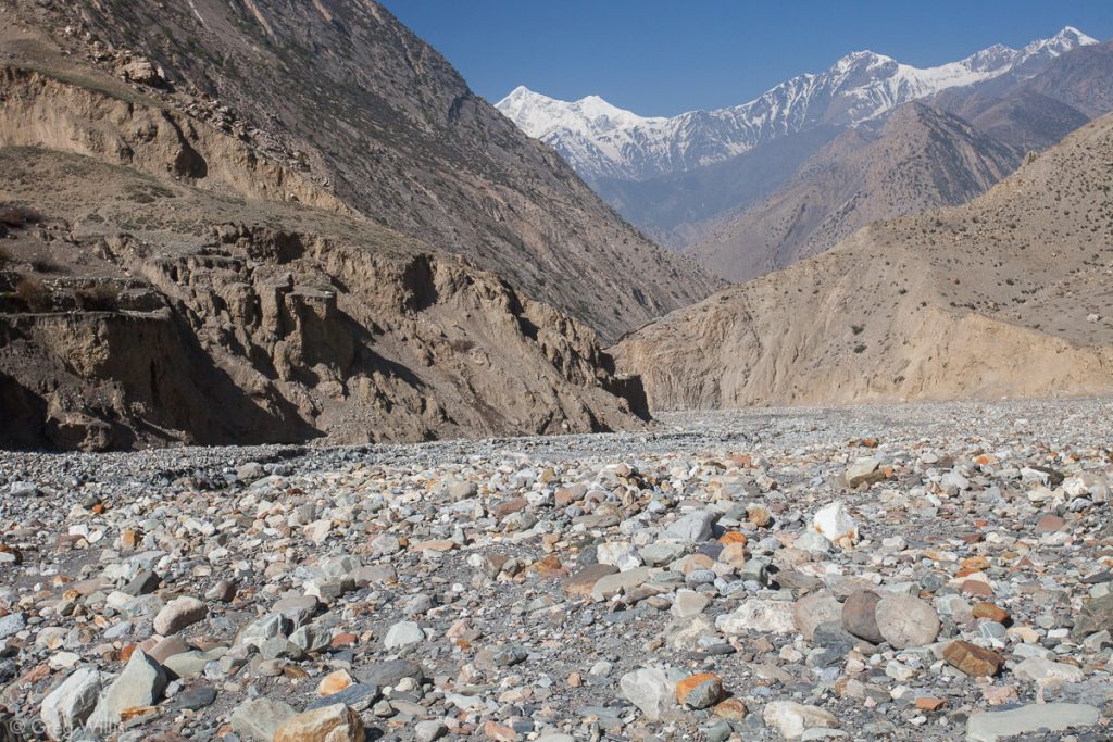
This part of the Kali Gandaki river lies within a rain shadow — the surrounding mountains squeeze out all the rain & snow, leaving the valley dry. The high desert prevents any lush vegetation from growing, leaving the landscape with mostly bare rock and dirt. As you find in southern Utah, what’s bad for shade is wondrous for geology. The valley here is a graben — a block of land that has moved downwards. Which means that the wide valley of today’s hike was not carved out by the river: the river just followed the dropped land. Erosion from the many glaciers has filled the valley with an amazing amount of gravel. And due to the width and gentle slope of the valley, the Kali Gandaki has not one deep, swiftly moving stream but multiple shallow braided channels. Rising up above it all stood the snow covered Nilgiri as we headed south.
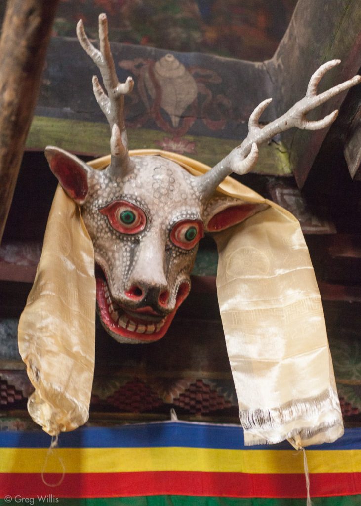
Instead of heading straight to Jomsom, we took a sidetrip: we turned left at Panga Khola river and up its debris-filled riverbed up to Lubra (Lupra). Lubra has been an isolated outpost of the Bon tradition since the 12th century. In 1160 a Bon missionary from Tibet founded the gompa (monastery) in Lubra. And since this has been a center of Bon Buddhist practice & learning. Although the original gompa has been rebuilt, the interior has fascinating masks and a library of old texts. Lubra shares a strong similarity with Kagbeni and Jhong, but it had no lodging and remains very remote.
As it was only a 2 hour detour, I thought our visit to Lubra was worthwhile — its isolation gave it a much deeper character than the other Upper Mustang towns. We made it back to the the Kali Gandaki and passed massive, twisted rock.

We briefly stopped in Jomson for lunch. The airport makes it a fairly bustling town. Tourists arrive then depart to Muktinath on pilgrimage or to the Mustang region. Nothing much, however, to recommend a stay.
After lunch we started out for Marpha. I had heard that the valley has some wind — all the guidebooks recommend hiking in the morning. Since the Kali Gandaki slices through much of the Himalayan range, warmed rising air on the Tibetan plateau pulls replacement air from the lowlands right through the valley (katabatic wind, to be precise). And holy cow, that’s a wind! I’d never experienced wind that strong that was not related to a storm front. I’d estimate 30-40 mph winds — and that’s sustained — gusts were higher. Here’s a video:
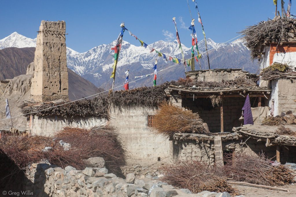
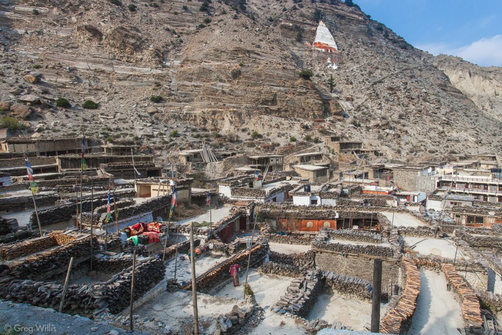
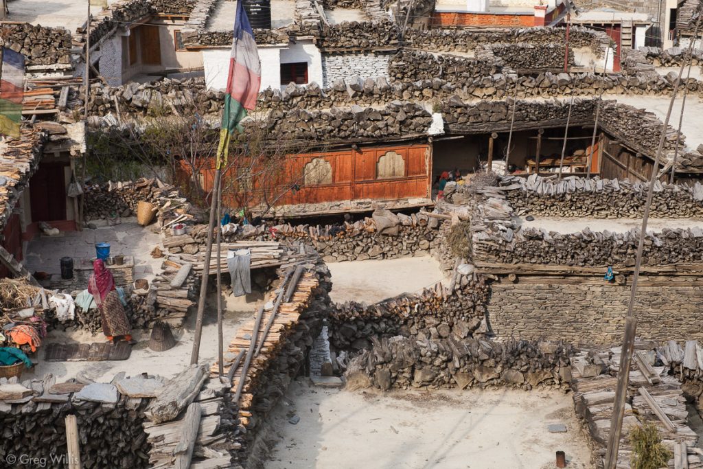
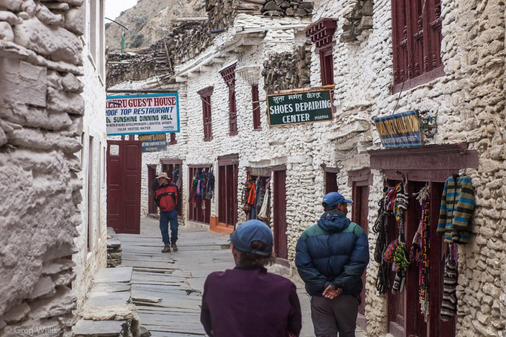
Despite the gale we reached the afternoon’s destination – Marpha, the Delightful Apple Capitol of Nepal. This being the early spring the surrounding orchards still stood bare. But the shops were full of dried apples, apple pie, apple crumble, and apple brandy. Marpha is clean. I’m not a fussy western traveller – developing world conditions don’t really phase me. But Marpha’s whitewashed stone walls and immaculately swept paved narrow streets were the cleanest we saw in the whole country. And like all the other towns in the Mustang region, Marpha has a wealth of wood stored on their flat roofs.
But Marpha had the feel of a town on Route 66 after the interstate bypass opened: plenty of tourist amenities, but very few tourist compared to Jomsom or even Ranipauwa. Once the road came, the trekkers didn’t. Trekkers don’t like automotive traffic, so instead of walking in the clouds of dust along the road, they hop a plane or sit on the bus causing the dust. And it seems the trekkers catch their transportation before Marpha.
Still, I think Marpha’s warm welcoming vibe and warming apple brandy makes for an appealing visit.
- Places: Lupra – Jomsom – Marpha
- Time walking: 7:00
- Elevation loss: -525 ft
- Lodging: Dhaulagiri Guest House

Leave a Reply