- Annapurna Circuit: Part 1, Trekking 101
- Annapurna Circuit: Part 2, Gorge-ous
- Annapurna Circuit: Part 3, High Valley of Manang
- Annapurna Circuit: Part 4, Up & Over
- Annapurna Circuit: Part 5, Kali Gandaki
- Annapurna Circuit: Part 6, Hot Springs and Pink Mountains
- Annapurna Circuit: Should You Hire A Guide
- Annapurna Circuit: How Much Does Trekking the Annapurna Circuit Cost?
Table of contents
Day 14: Marpha to Tatopani – 30 Mar 2010
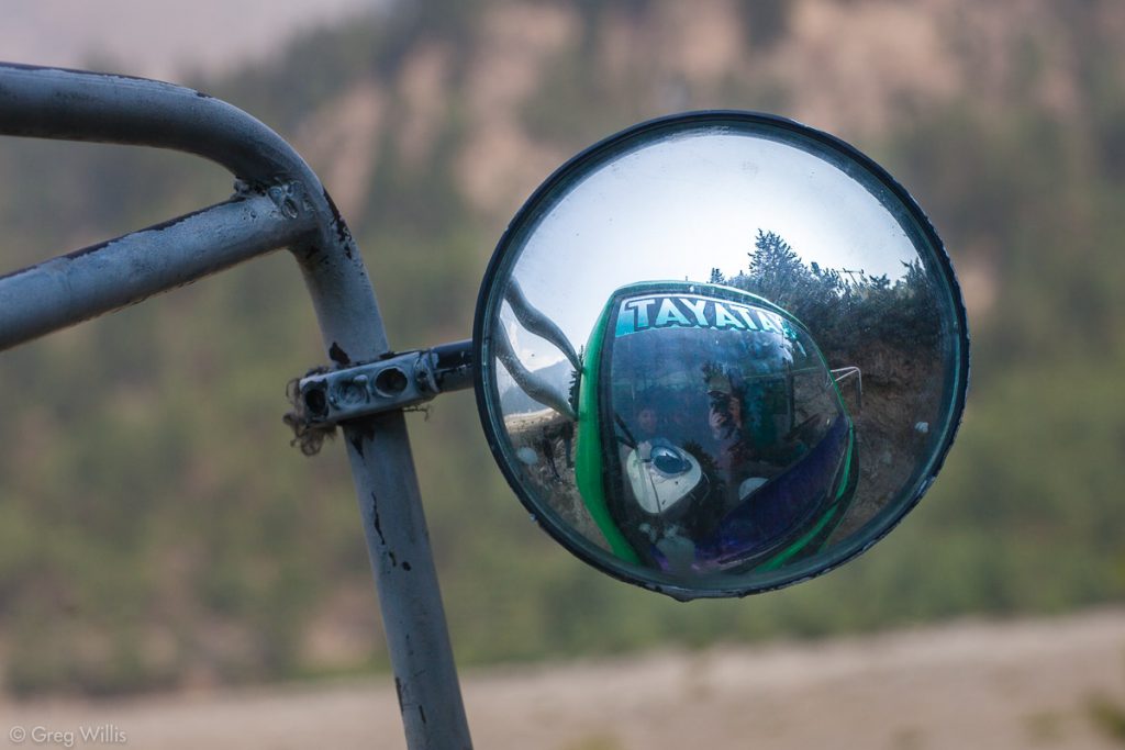
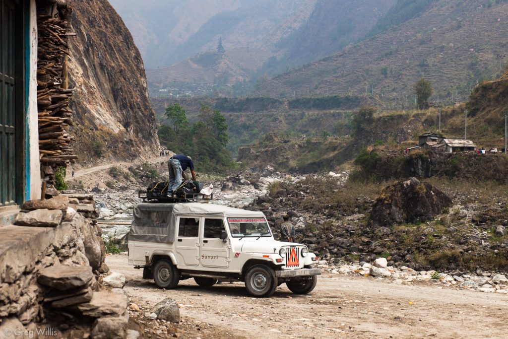
This was our bus/jeep day, so there’s just not that much to comment on. We took a morning bus from Marpha to Ghasa, then a jeep from Ghasa to Tatopani. I would call this a rest day if Nepali transportation were comfortable and relaxing. But small seats, ad hoc bridge repair, and sheer dropoffs assured that the day was neither. It took 3.5 hours to go the 23.0 mi / 37.0 km and avoid the two extra days that walking would have taken. So after two weeks of constant walking, time off of our feet was welcome change.
Our trip felt longer than just the distance and the mild motion sickness. No more Tibetan Buddhists. No more rain shadow and high desert. Back to the Hindus. Back in the forest. Back to the humidity.
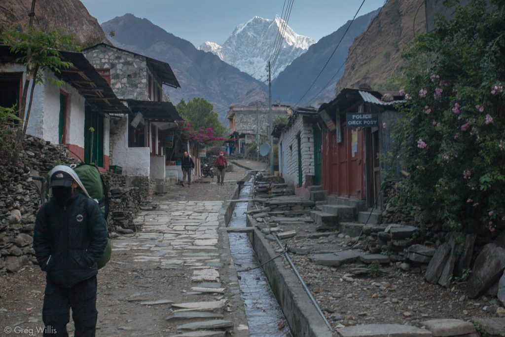
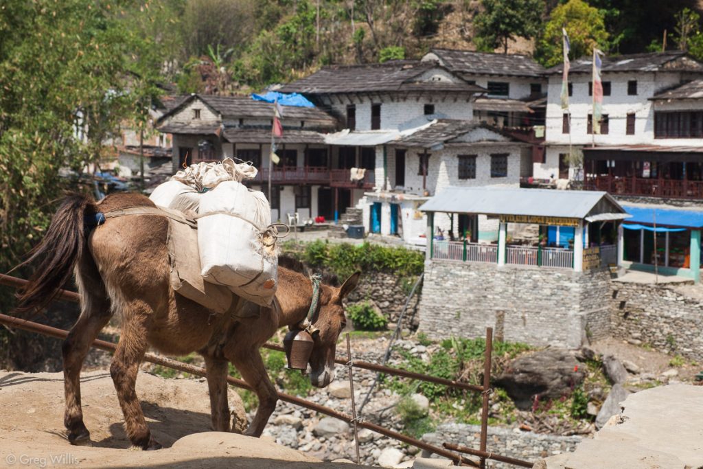
The Kali Gandaki valley overall has a very different vibe than the Marsyandi valley, and it’s not just the completed road. The settlements are towns rather than villages, the transportation is jeep rather than donkeys, everything seems bigger and older. One difference, I think, comes from the river itself. The Kali Gandaki is longer and wider than the Marsyandi and it flows straight from the mountains of Tibet to the lowlands of Nepal. Humans have used this shortcut to and from the mountains since prehistory, trading the Tibetans for their salt. The Marsyandi is small and, in comparison, leads nowhere. This historic trade route gives this side of the Thorung La Pass a more mature feeling.
Tatopani
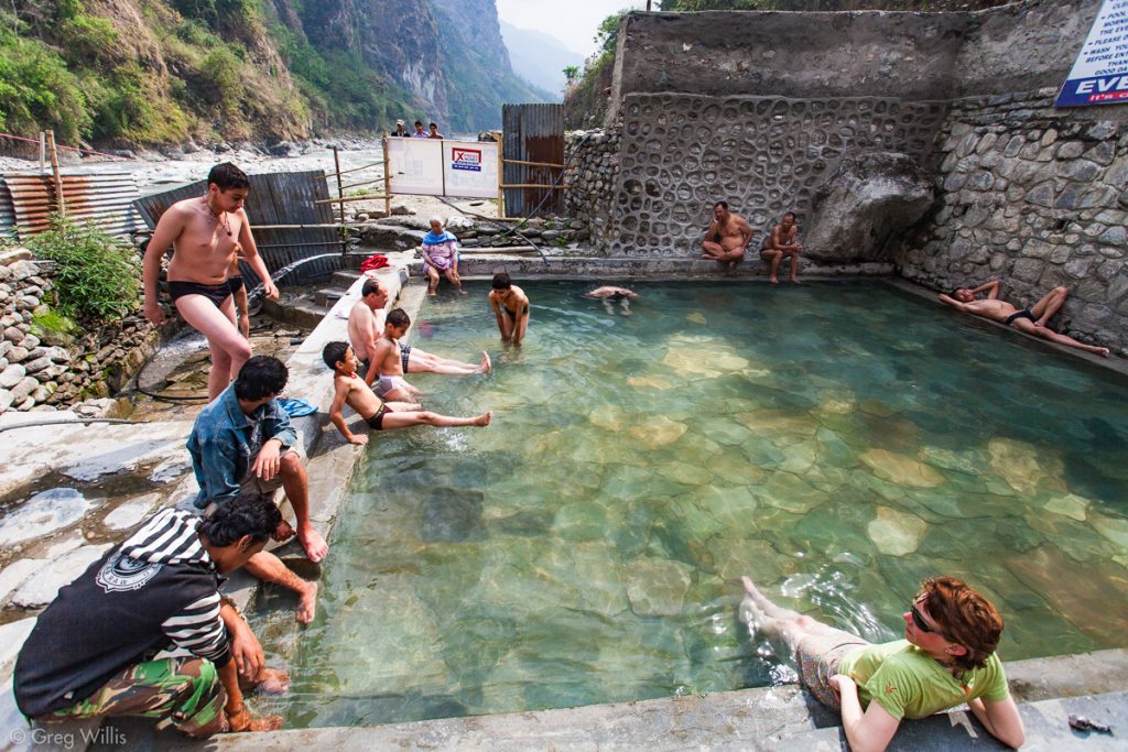
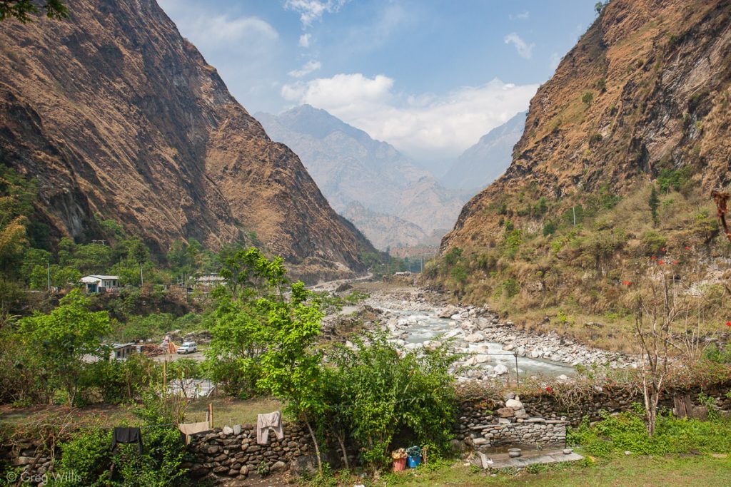
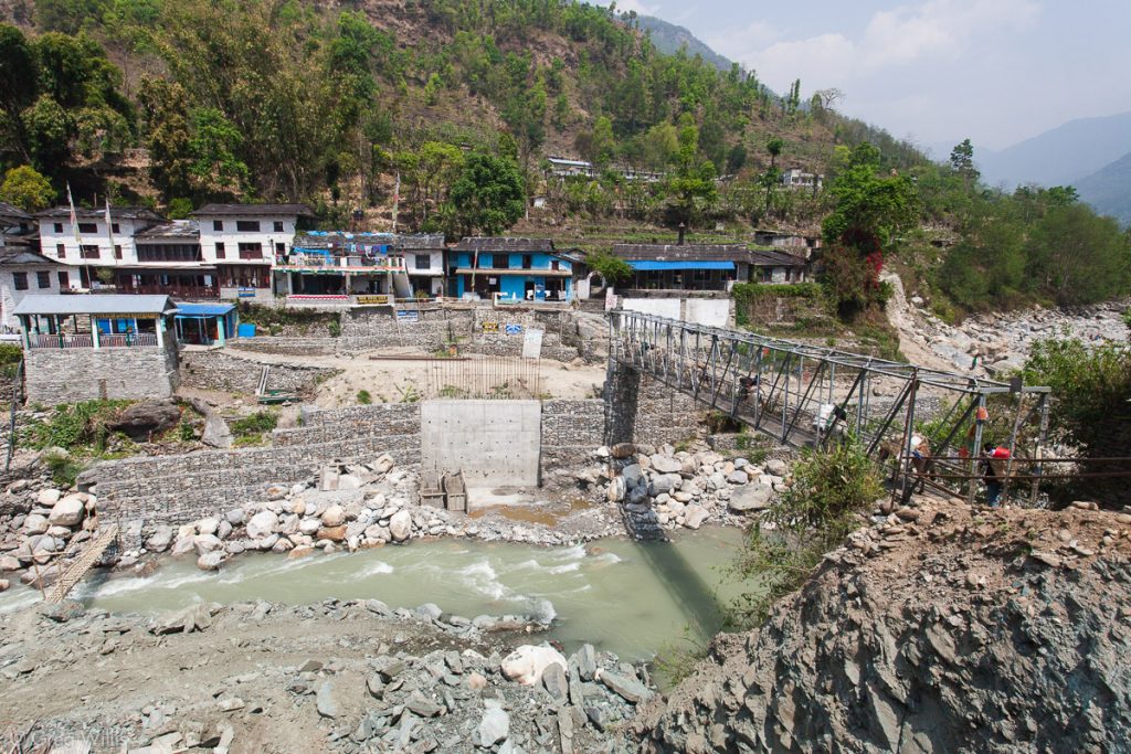
Tatopani is the place with the hot springs. They are nothing fancy — a square rustic pool of concrete & stone a few feet from the river — but for a few rupees you can get your soak on. And frankly, there’s not much else to do but soak or get a massage. Devendra had originally planned for us to have two nights here. But I traded him the night in Kagbeni for the second one here — best choice for the whole trek. At Tatopani the Kali Gandaki flows through a steep and narrow gorge — much different than the broad river valley we left this morning.
Stats
- Places: Marpha – Ghasa – Tatopani
- Time in bus & jeep: 5:00
- Lodging: Dhaulagiri Lodge and Restaurant
Day 15: Tatopani to Ghorepani – 31 Mar 2010
Today was the biggest one-day elevation gain of the trip, about a mile up in 8 hours. It also was not my best day: GI distress and lingering sinus issues from the Kali Gandaki windblown dust made for a not-so-happy trekker. But neither issue was cause for stopping, so we left Tatopani at 07:00 with the peak of Nilgiri our morning companion.
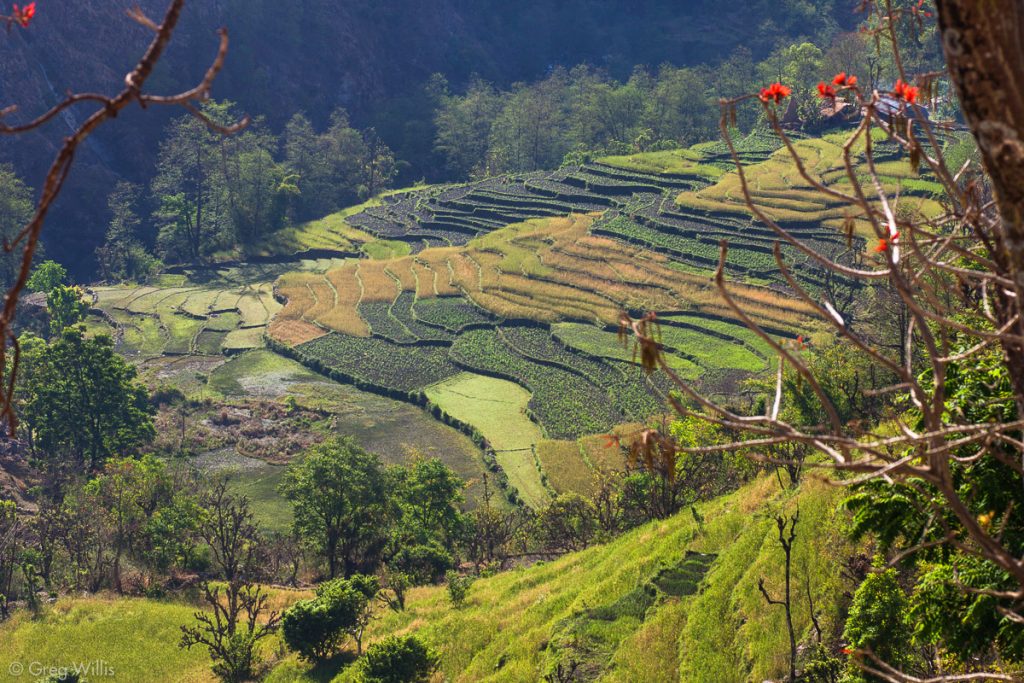
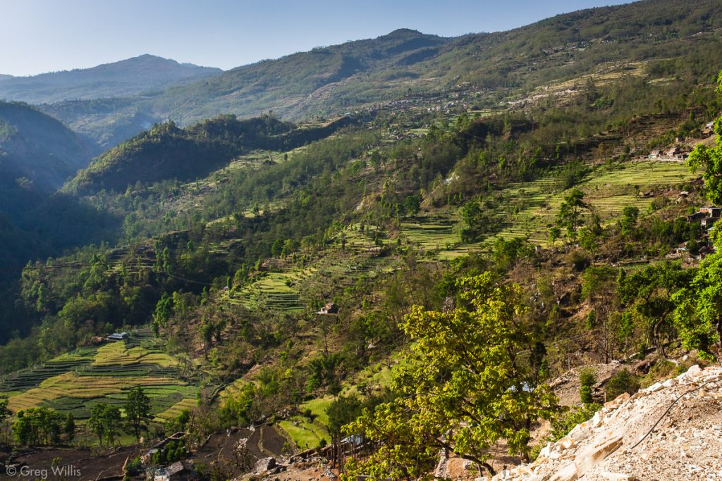
We left the Kali Gandaki and headed up the Ghar Khola valley. The trail led through a terraced farmland with mountains all around. The green landscape and people everywhere stood in a stark contrast from the last week on the trail.
Although we passed through the villages of Shikha & Chitre, ‘passed through’ is the operative phrase — no lingering, not much resting. The only bonus of our day-long slog was we had no altitude effects because of our previous acclimatization. Merely the the effects of walking up stairs for eight hours.

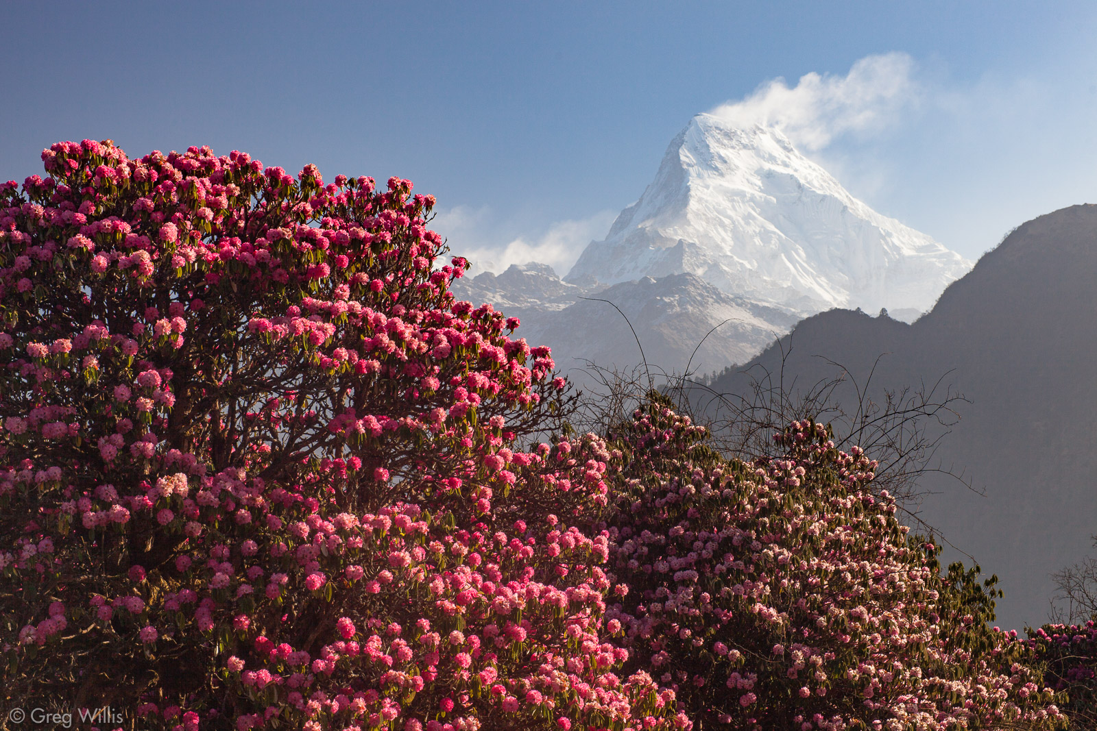
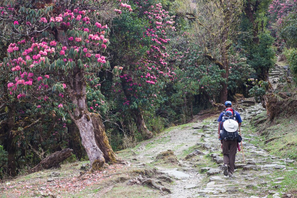
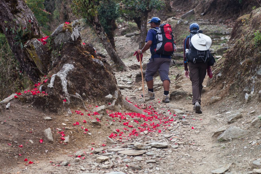
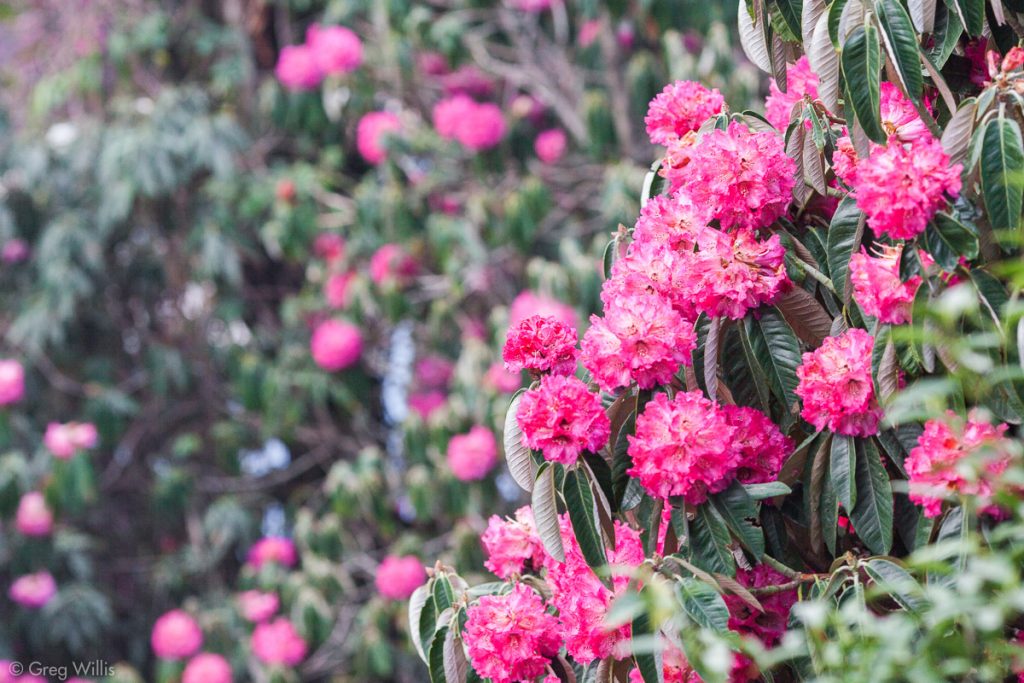
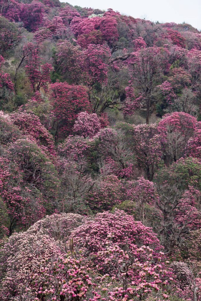
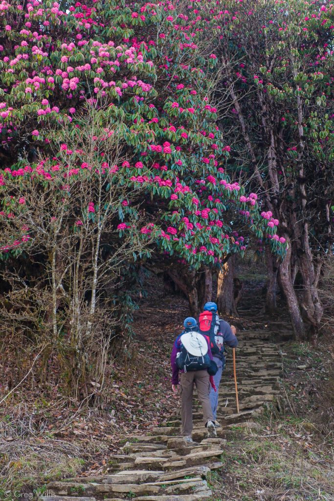
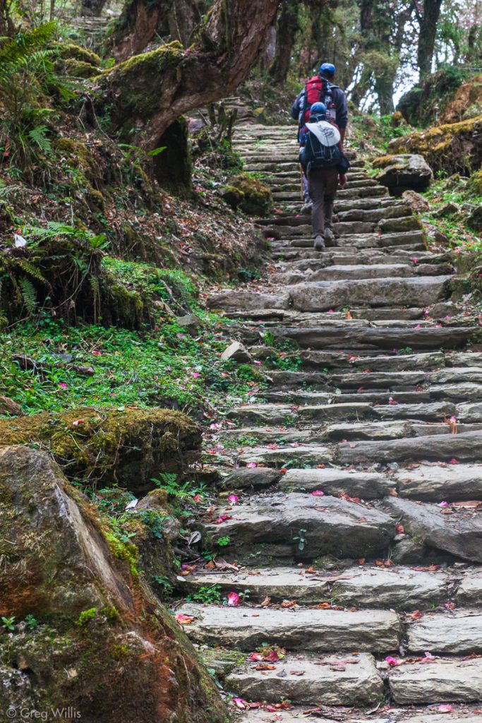
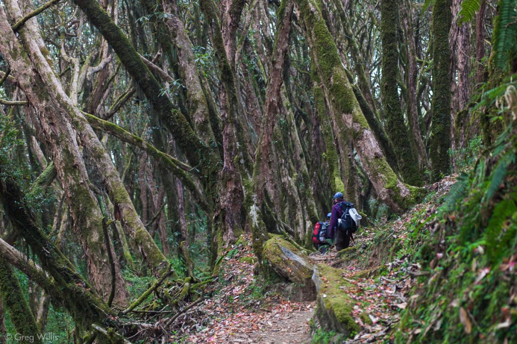
Around 14:00 we entered what we came to see: the rhododendron forest. We’d seen some rhododendron trees before Timang, but that was nothing compared to this. Here their entire height of up to 100 ft / 30 m was covered with pink or red flowers.
We hit the ridgetop town of Ghorepani around 15:00, but just hung out in our odd lodging due to my not feeling well and the fatigue of walking up a mile.
Stats
- Places: Tatopani – Ghara – Shikha – Chitre – Ghorepani
- Time walking: 8:00
- Elevation gain: 5,120 ft / 1,561 m
- Lodging: Super View Lodge and Restaurant
Day 16: Ghorepani to Ghandruk – 1 Apr 2010
Ghorepani
The essential thing to do when in Ghorepani is to see the sunrise from Poon Hill. We did not do this.
We were already making one 1,000 ft / 305 m ascent this morning and didn’t feel like doing two. After my illness of the previous day, I didn’t exactly feel like bounding out into the cold pre-dawn darkness to get a better view of the mountains that I already had a view of. And in retrospect, that still is the correct decision. But if if you feel up for it or didn’t spend a number of days in the Manang valley taking in the other side of this mountain range, I would urge you to so. For some folks Ghorepani is the apex of their trek, for us it was just another stop.
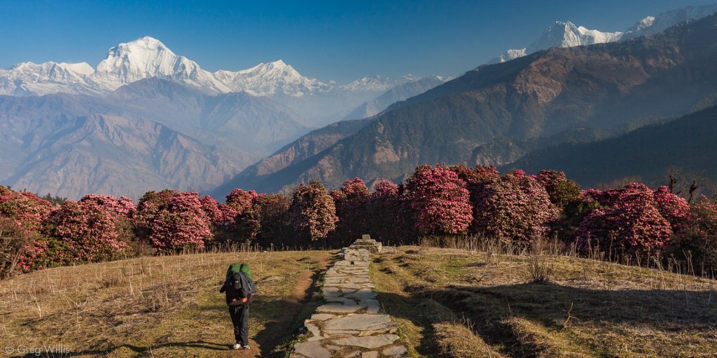
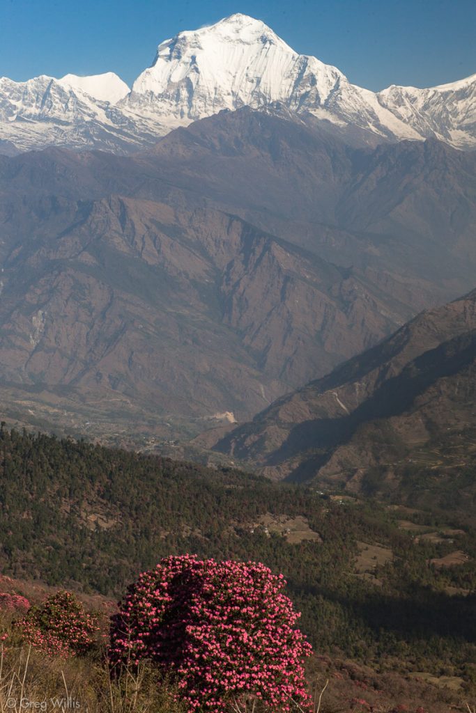
Once we set out, the morning did not disappoint. I felt better and the views we had of the mountains and the blooming trees were almost surreal in their beauty.
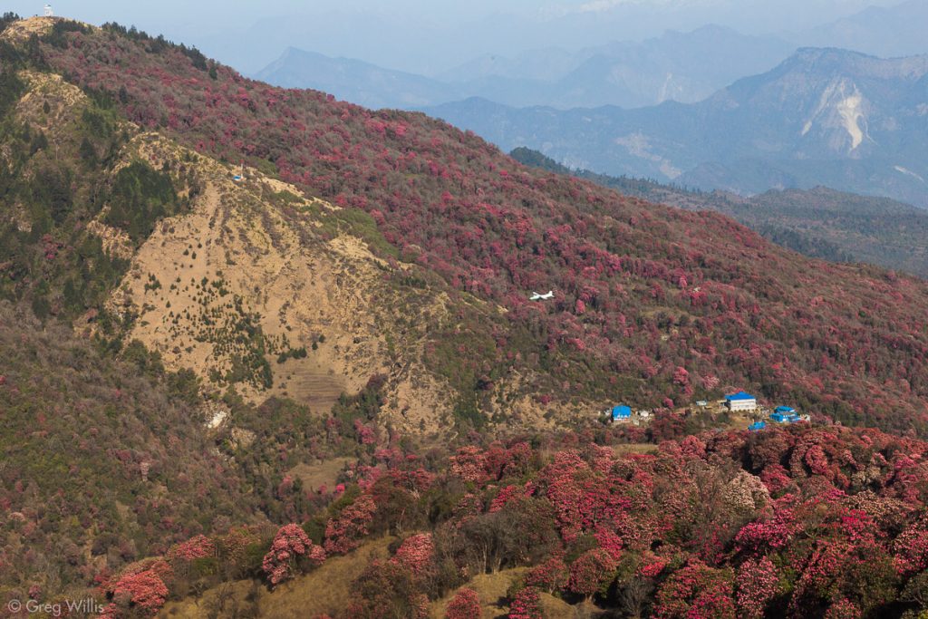
I’ll call special attention to the photo below. The blue buildings are the hotels in Ghorepani, about 1,000 ft / 305 m below us. Poon Hill is in the upper left. And near the center of this photo is an airplane flying from Jomsom. The airplane flew below us. I have to say, that was weird.
Although not one long ascent, the day’s hiking was either up or down with very few level stretches: from Ghorepani, uphill for 1,000 ft / 305 m in about 2 hours; from Deorali, downhill for 2,000 ft / 610 m in 2 hours; then sharply uphill for 500 ft / 152 m in 20 minutes for the last hard ascent of the trek to Tadapani.
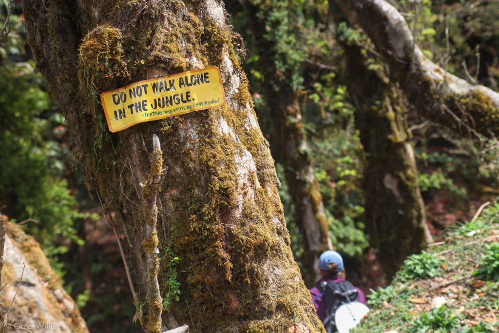
Even though Lonely Planet recommends overnighting at Tadapani to break up the long day from Ghorepani to Ghandruk, we stopped just for lunch. From here it was nothing but 2,200 ft / 671 m downhill to Ghandruk. The path went through a dense forest which blocked most views of the surrounding mountains.
Ghandruk
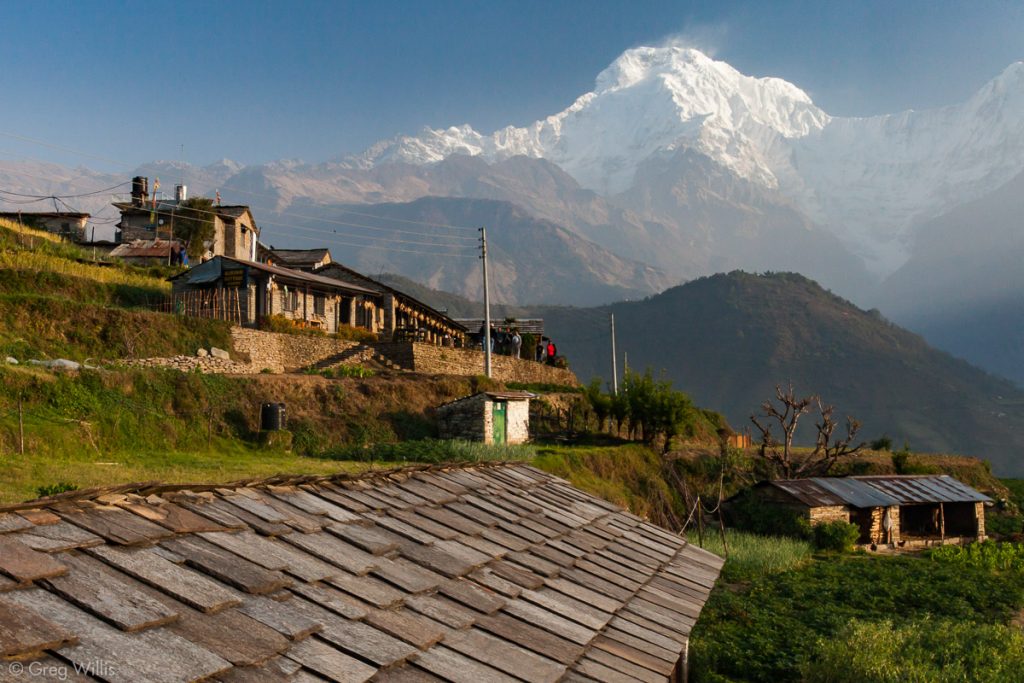
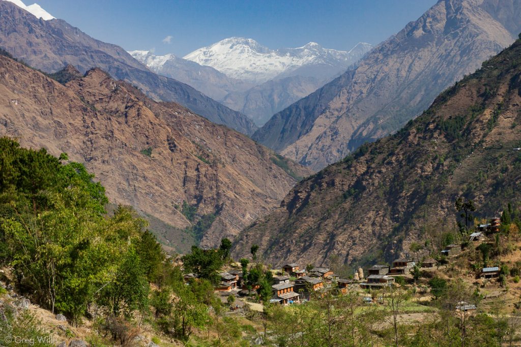
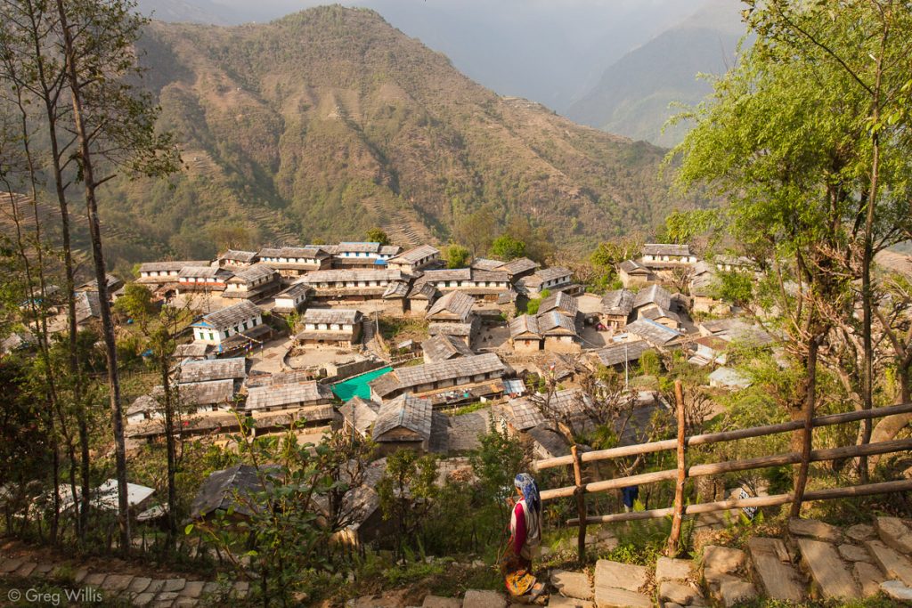
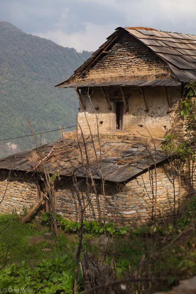
Ghandruk was a big change. Compared to Marpha, the last real town we explored, Ghandruk has thousands of people in the town and surrounding hills instead of hundreds. The far side of the wide valley was covered with houses amid their terraced fields. The lower elevation meant a warmer climate, and around the village stood rich fields of wheat and drying ears of corn hung by the windows. And large slabs of thick slate covered the sloping roofs of the houses.
And Ghandruk seemed ready-made for trekkers: with lodges aplenty and even a couple of museums. This only makes sense as it stands on the trail of the Annapurna Sanctuary trek, the Ghandruk Loop, the Annapurna Panorama, as well as the leg of the AC from Ghorepani. We wandered around this charming town and even visited the museum. But whatever interest the village had was overwhelmed by our anticipation that tomorrow would be our last day of the trek.
Stats
- Places: Ghorepani – Tadapani – Ghandruk
- Time walking: 8:00
- Elevation gain: 1,700 ft / 518 m
- Elevation loss: -4,400 ft / -1,341 m
- Lodging: Peaceful Lodge and Restaurant
Day 17: Ghandruk to Naya Pul – 2 Apr 2010
I’d like to say that our final day on the trek was one of gentle reflection with a bittersweet reluctance to reach the end of the trail. But no, it was all we could do to not run all the way to the taxi in Naya Pul.
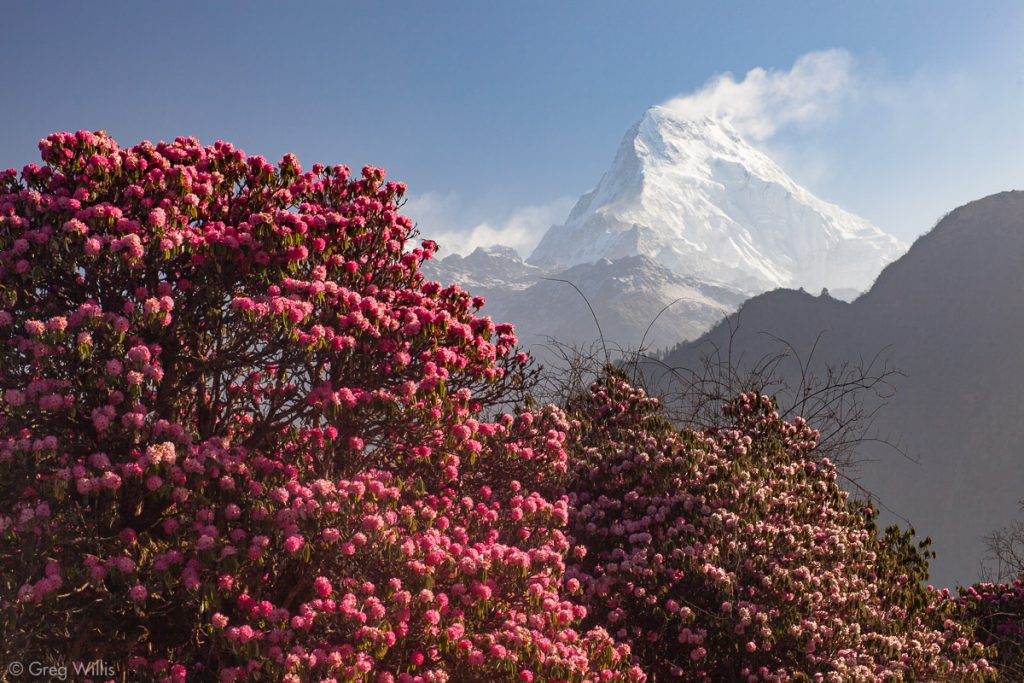
Our final morning did give us a stunning view of Annapurna South from our room in Ghandruk.
The trail down was as nice as we’d seen for the whole trek: paved and leading through the populous and rich farmland of the wide Modi Khola valley.
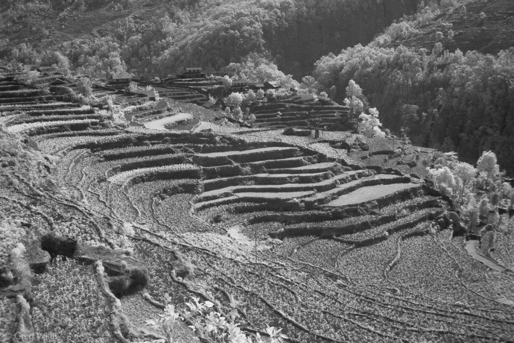
It was mostly stairs until we hit the river at Syauli Bazaar where the trail leveled out. At Birethanti we had an early lunch while Devendra took care of our final trekking permit stamp. The last 30 minutes of the trek was on a flat road by the river that had numerous small and neat eateries.
After our eventful bus ride at the beginning, we opted for a hopefully more reliable taxi to take us back to Pokhara. So at Naya Pul we took a short cut up our final hill up to the line of taxis. The 2 hour taxi ride to Pokhara was underpowered, nervously driven, and unremarkable in Nepali terms — the narrow misses with oncoming vehicles are just par for the course. We dropped off Devendra at his home. We would see he and his family that evening for a farewell dinner, but the marked the end of our trek.
The challenge of trekking the Annapurna Circuit lies in its length — both in the number of days and the number of miles. A couple of days were physically challenging (descent from the Thorung La Pass and the day-long climb to Ghorpani), but most days were just walking up or down a moderate incline. For us, it was actually the mental challenge of pressing onward for seventeen days. We had one day that we stayed two nights (Bragha), but the rest had a insistent rhythm of arrive-unpack-cleanup-eat-sleep-wake-pack-eat-leave. Although I would have preferred to tarry in a couple of spots, that would have only lengthened the trek.
But what that length gives you is a trek of epic scope. One travels from bananas to glaciers, from Hindus to Buddhists, from jungle to alpine peaks, shirt sleeves to down jacket. And because teahouses and villages line the route, you have a chance to meet not just other trekkers but the local folks along the way. The AC ticks so many checkboxes.
I tend to be wary of superlatives, but I’d be surprised if there were a trek better than the Annapurna Circuit.
Stats
- Places: Ghandruk – Kimche – Syauli Bazaar – Birethanti – Naya Pul – Pokhara
- Time walking: 4:00
- Time in taxi: 2:00
- Elevation loss: -3,500 ft / -1,067 m
- Lodging: Sacred Valley Inn
- Annapurna Circuit Stats
- Elevation gain: 34,000 ft / 10,363 m
- Elevation loss: -28,000 ft / -8,534 m
- Distance: 120.0 mi / 193.1 km

Leave a Reply