For Crestone Peak, I wanted to come in via the Cottonwood Creek approach. Why? Well, I’ll go to lengths to avoid people on the trail and the descriptions of this approach included such words as “arduous,” “difficult wayfinding,” and “testy sections with a heavy pack” — not words that tend to attract a crowd. It did take a couple of tries to summit, but that was more a factor of the weather than of the difficulty of the approach.
First Attempt, 15 July 2017
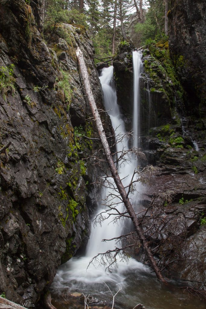
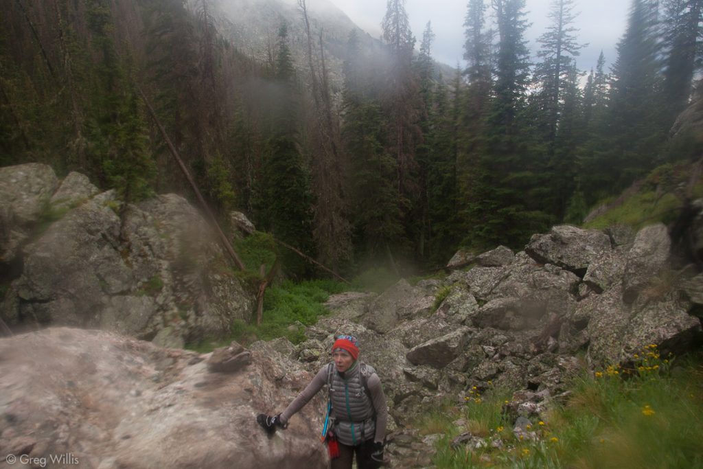
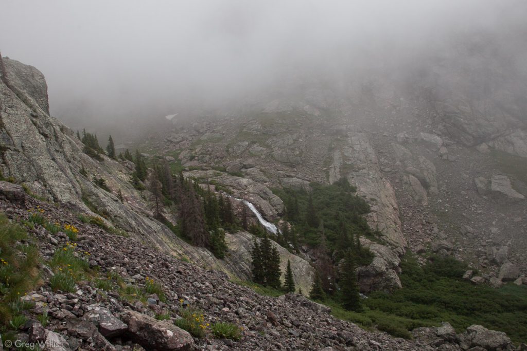
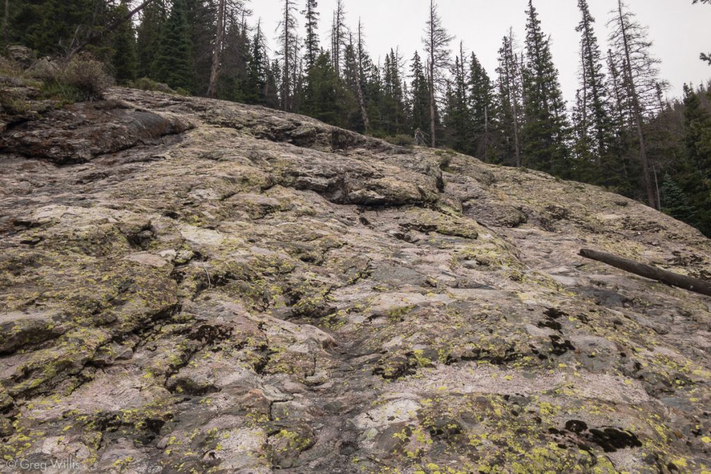
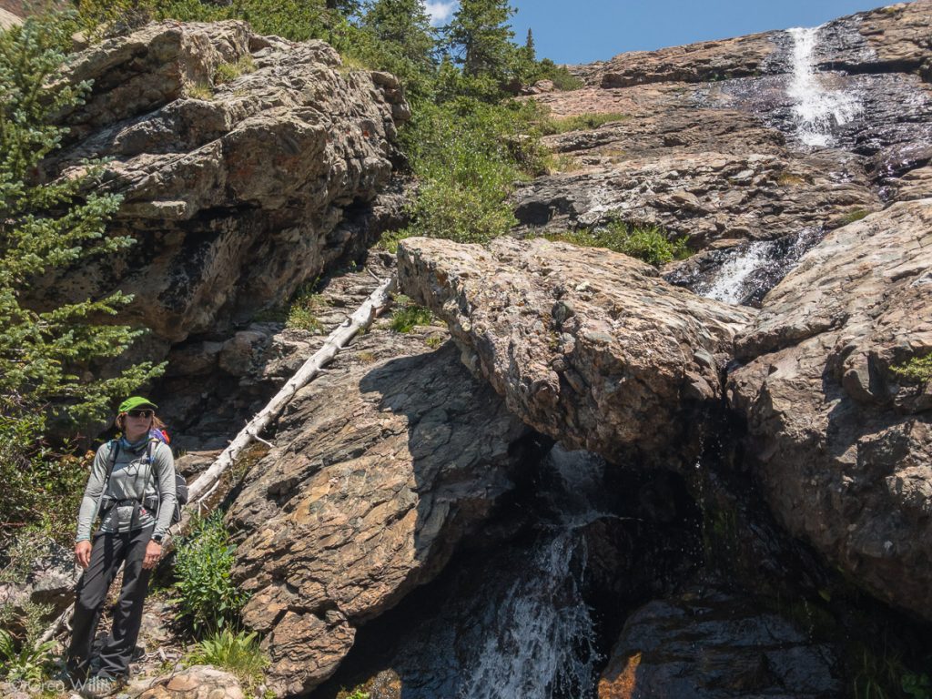
Our first try in 2017 had a lovely start: sunny skies & warm air. After the hard slog up the first couple of miles, things slowly turned – and not for the better. The route-finding hunt in the tree-fall strewn woods set us a little behind time. And when we got to the beautiful first waterfall, the rain had started. After that waterfall begins what Roach terms ‘boilerplate slabs,’ steep solid bedrock — now thoroughly wet. So we headed up on steep wet rock, all the time the rain was increasing. As this was not the most secure of surfaces, it took us a bit to get up. The rain had just steadily grown, and now it was pouring. At the top none of the area around us was remotely flat or clear enough for a tent. About twenty minutes of heavy rain later we stumbled across a campsite & hastily pitched the tent. I wouldn’t say we were dry, but we weren’t getting any wetter. Fresh clothes and a hot meal raised our spirits, I was hopeful for the next day’s climb.
That hope began fading as I popped my head out of the tent in the still-dark morning and saw no stars. As we prepped for the climb, the light revealed the surrounding peaks shrouded in clouds. The rest of the morning was just a series of challenges: broken water purifier, so we had to use iodine tablets; got off-trail, so we bushwhacked for a time; the rain made a crucial waterfall climb unlikely, so we climbed up a scree gully and ended up cliffing ourselves out. But for all that we were still determined. But the later the morning got, the lower the clouds hung — so that even at the relatively low altitude of 12,000′ we were in the clouds. Damp rock, clouds, off route: we finally called it and headed back.
We packed camp and headed down. And as if we weren’t disheartened enough, the rain started again right as we began to descend the slabs. It poured most of the way down. We returned to the trailhead soaked and disappointed.
Second Attempt, 28 July 2018
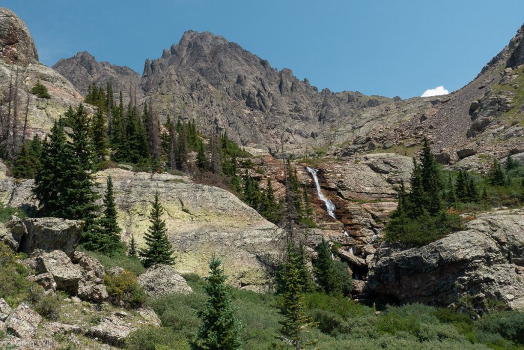
This time we started earlier, 10:00, to beat any afternoon monsoon rain. This year the route was better marked, so we had much fewer moments of figuring where the trail went. But those first few miles are unrelenting in their incline — especially with full packs — with nary a flat part to be found. But we made good time and the weather was holding. We passed our previous campsite and scrambled up the crucial waterfall whose heavy flow stopped us last time.
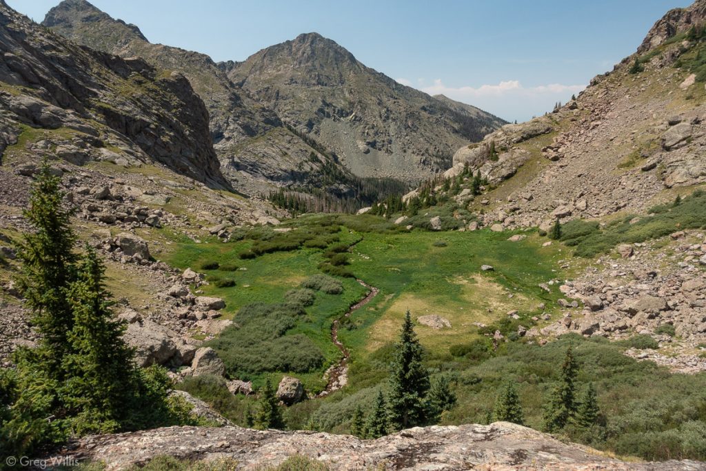
And it was only after we reached Cottonwood Lake and set up camp that the brief rain arrived. Coincidentally, the guys we camped next to at Matterhorn Creek before Wetterhorn, Greg and Eric, randomly turned up as our fellow campers on the lake and fellow climbers the next morning. We all watched the bighorn sheep butt heads, then ate and prepped for next day’s climb.

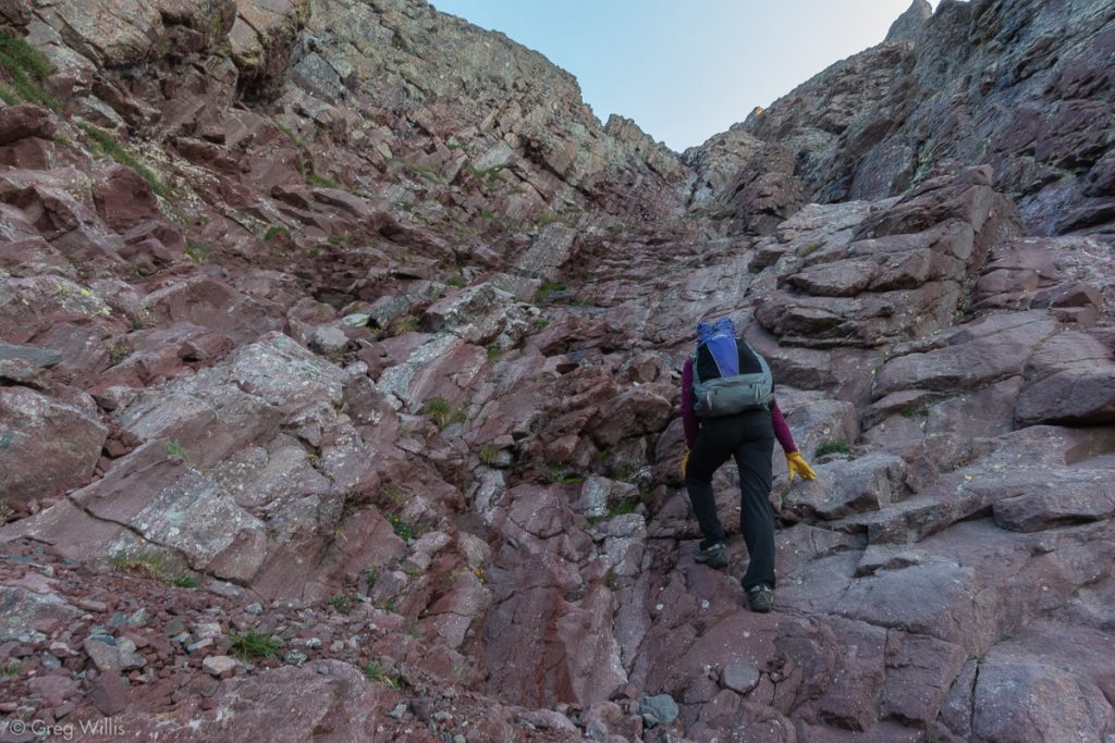
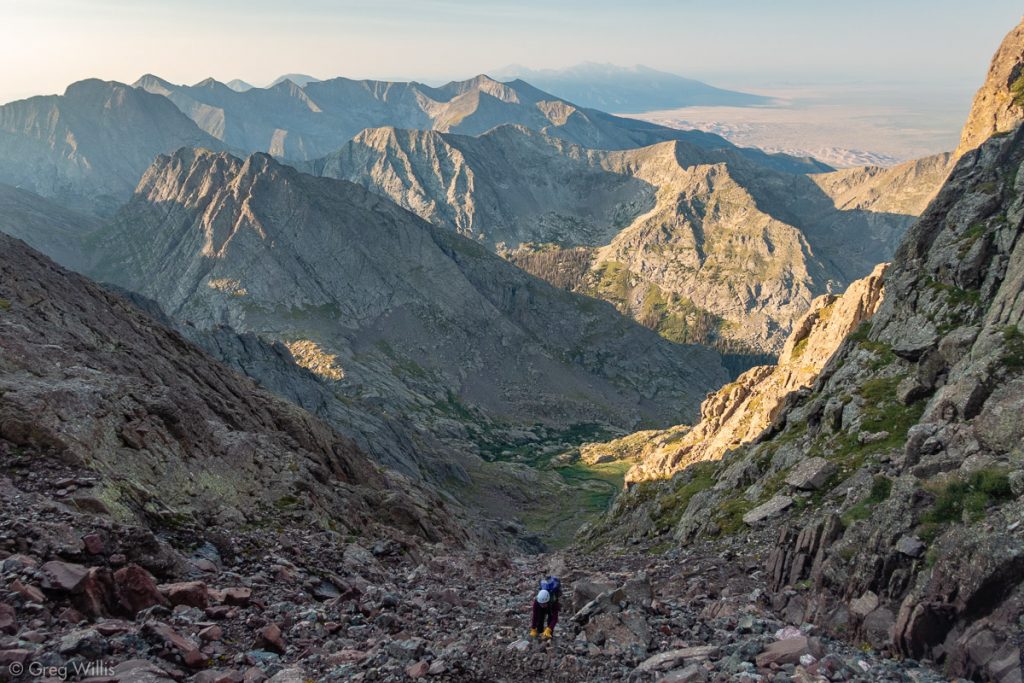
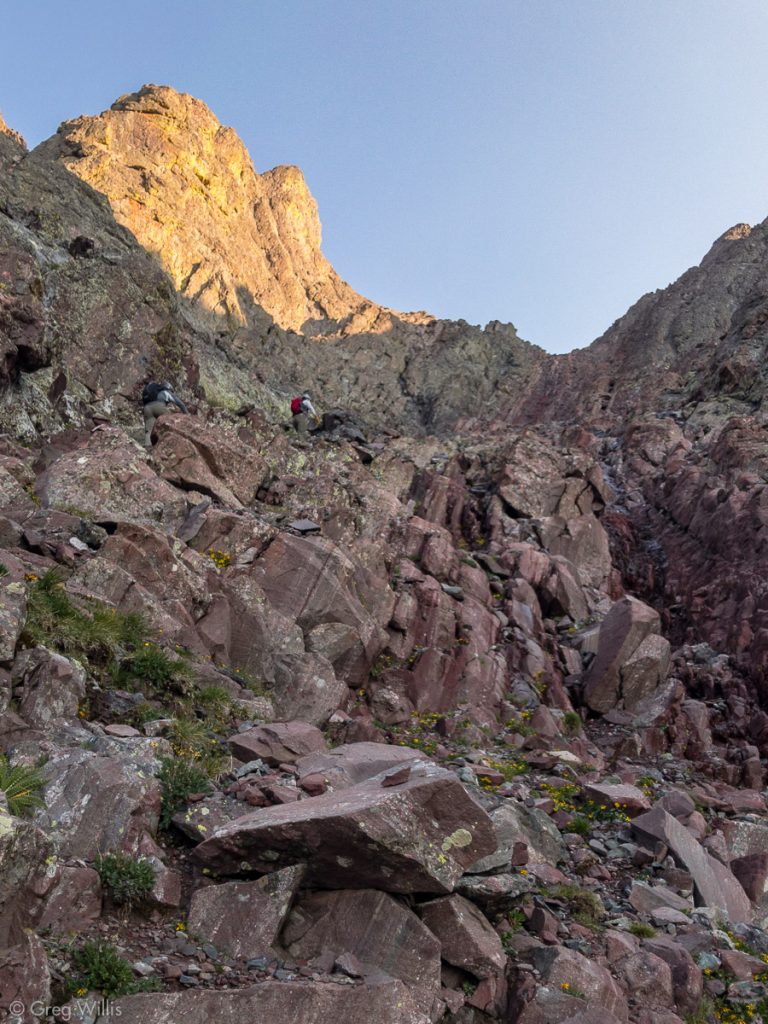
Crestone Peak, either direction you start from, has two sections: the approach (Cottonwood Creek or Broken Hand Pass) and the Red Gully. Technically there are bits before and after, but they’re negligible. For most purposes, the Crestone Peak climb is the Red Gully.
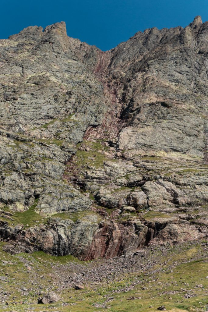
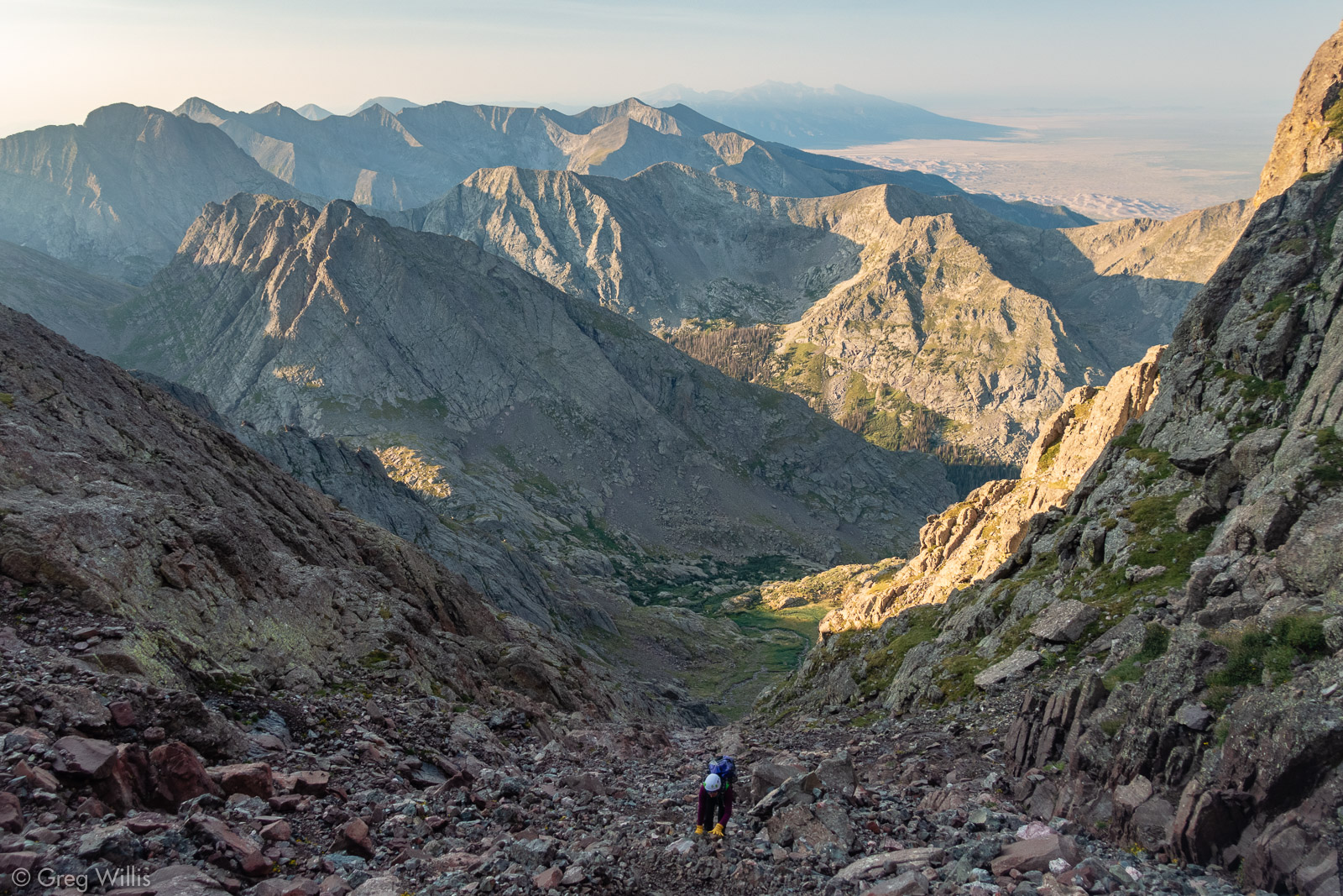
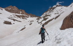
For us, the rock was mostly dry and fairly solid with no sign of snow whatsoever. It’s definitely a scramble, but its difficulty was not necessarily technical — it’s a very long pitch. It took us a leisurely 1:40 from the bottom to the top. Every time we looked up the top seemed just as far away as the last time we looked. Ascending we only had our two camp neighbors above us, so rockfall was not a worry. But on a busy weekend with careless climbers, boy I wouldn’t want to be below them.
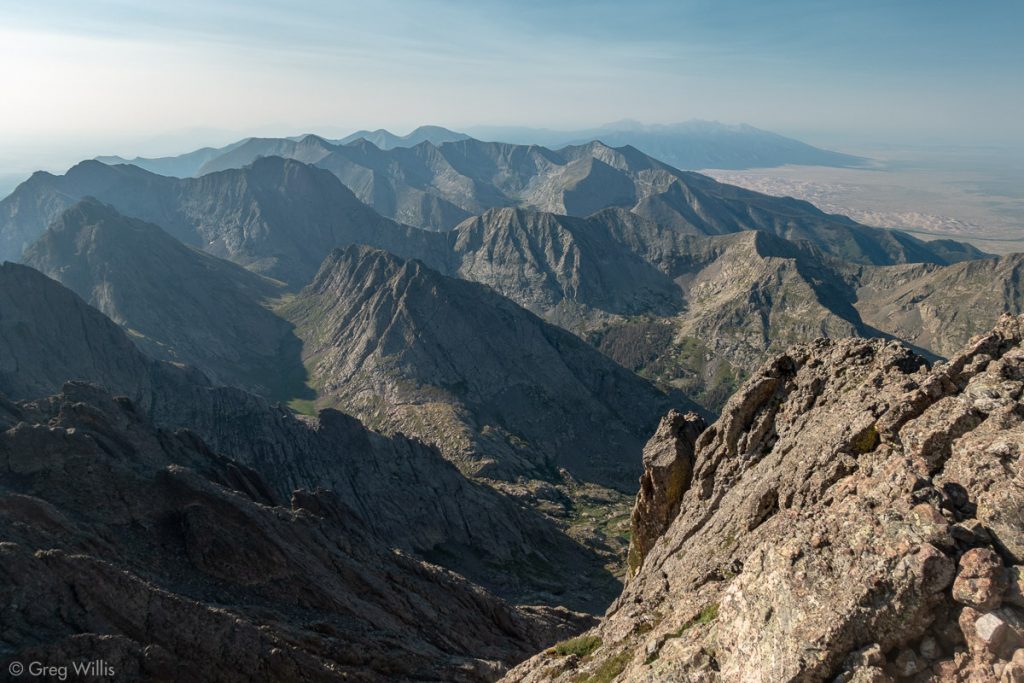
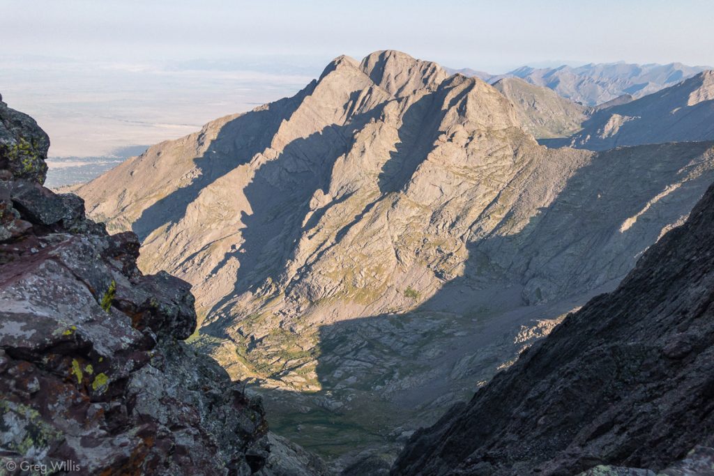
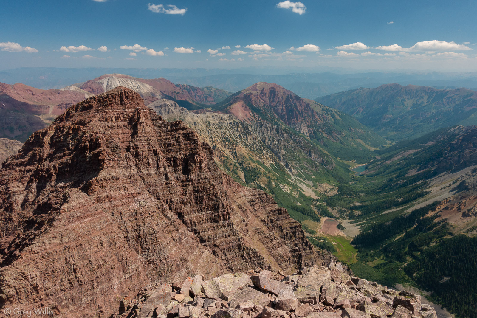
The final scramble from the top of the Red Gully to the summit was the funnest part – but the short & breezy pitch is over in about 5 minutes. The summit provides a great view of the Sangre de Cristo range and its Fourteeners along with the rippley Great Sand Dunes NP.
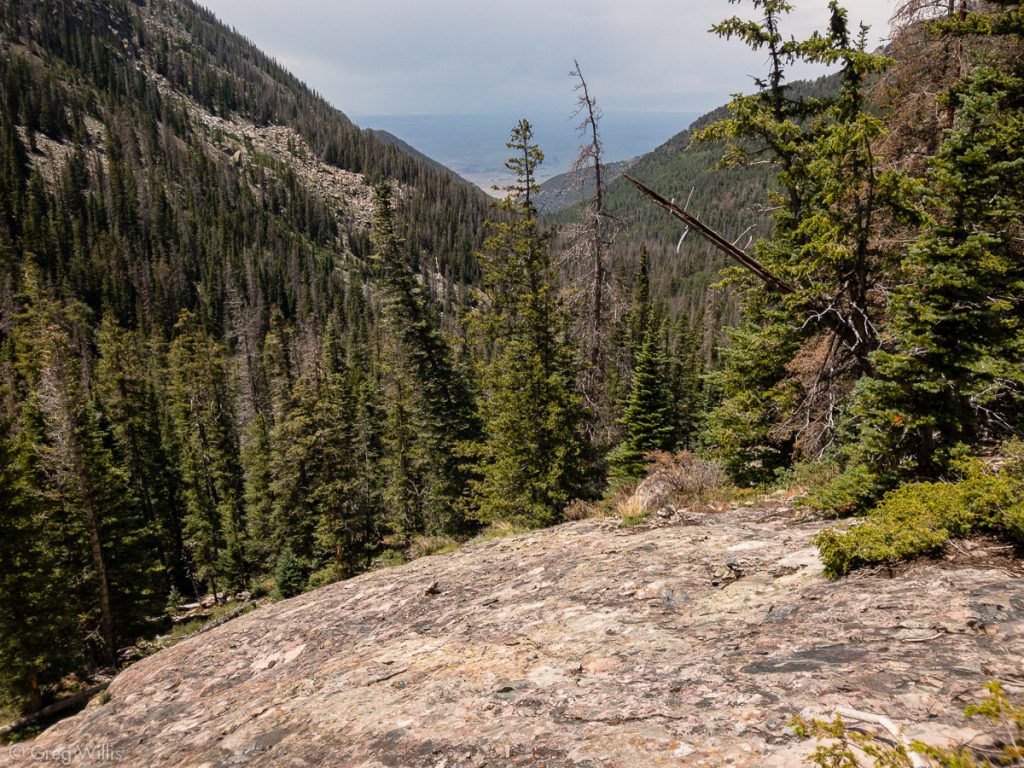
We made our way back down the Red Gully and to Cottonwood Lake. We broke camp and started down.
I’d be remiss if I didn’t pass on unfortunate-for-be but funny-for-you story. Back in treeline I was making my way under a deadfall tree by sitting and scootching. On my second scootch I heard the unmistakable hiss — only for half second — of my bear spray. Somehow my scootching had both removed the safety and depressed the top. Luckily, the short burst just stung my eyes and made me cough a little. Unluckily, my glove must have been next to the bear spray because when I wiped my nose with that glove — let’s just say that my legs weren’t bothering me any more. So the Cottonwood Creek trail proved a bit spicier than I’d anticipated.
The rest of the trail was unremarkable, just long and sluggish. But soon enough we made it to post-climb celebration beers at Crestone Brewing in the town of Crestone. After our toast, H offered me a taste of her chili beer.
I passed.
- When: 27-28 July 2018
- Day 1: trailhead -> Cottonwood Lake
- Distance: 4.6 mi
- Elevation: 3,910′
- Time: 5:30 hrs
- Day 2: Cottonwood Lake -> Crestone Peak
- Distance: 2.0 mi RT
- Elevation: 1,984′
- Time to Summit: 2:30 hrs
- Total Distance: 11.2 mi RT
- Total Elevation: 5,894′
- Total Time: 14:30 hrs
- Colo 14er Rank: #7

1 Comment