Before we hiked Maroon Peak, the folks who I asked about the climb all said, “It’s a long day.” Every one, exact words.
Heeding their advice, we arrived at Maroon Lake Trailhead at 04:00. Marina, Kevin, and I camped at Silver Bar — down the road between Maroon Lake and Aspen — which made the morning’s commute an easy 15 minutes. The night was still quite dark with no moon and the sky brimming of stars. But you don’t want to hike a rocky trail by starlight, so we turned-on our headlamps and set forth.
By Crater Lake the sliver of the crescent moon was rising just before the dawn. And when we reached the turnoff from the valley floor to head up to the ridge, we’d switched off our headlamps.
Maroon Peak (just ‘South’ Maroon, as we weren’t taking the traverse to North Maroon) breaks down into three sections:
- an easy 3.5 mile / 1,000′ hike on a rocky trail the valley floor
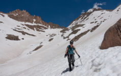
- a hellish 1.5 / 2,800′ slog up to the ridge, know as the Twenty-Eight Hundred Feet of Suck
- an enjoyable, not-to-exposed 1.3 mile / 1,000′ class 3 scramble to the summit (but watch that rock)
So, with the sun now out we could see the slope going up. As there was not much else to do but do it, we did it. The Twenty-Eight Hundred Feet of Suck was long, steep, relentless, and frankly boring. But after 2 1/2 hours of playing pack mule, we made it to the ridge. Now the fun began.

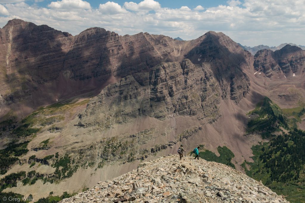
If you’ve seen photos of the Maroon Bells — that iconic Colorado view from Maroon Lake– you’ve seen the rock: sedimentary layers dipping to the north. In practice this means that the scrambling route consists of ledges (mainly horizontal, the layers) and gullies (vertical) for a bit over a mile and 1,000′. We worked out way through the sequence of the climb:
- The Chimney (a fine class 3 introduction to the route)
- The Two Gullies (we took the first, good choice)
- The Wide Gully (watch that rockfall)
- Final Pitch (either not enough cairns or too many)
The rock was not as bad as I’d feared, but I didn’t try pulling on it very much: hands for stability with legs doing the lifting. In the gullies, however, almost all the rock under-foot prone to falling. As we only saw 3 other folks ahead of us on the mountain, it wasn’t a big worry. But with more people it could’ve become worrisome.
The way-finding was mostly obvious: only near the summit did there seem to be Stacked Rock Confusion with markers for what might be two trails. But soon enough we found the ridge and making the last easy moves to the summit.

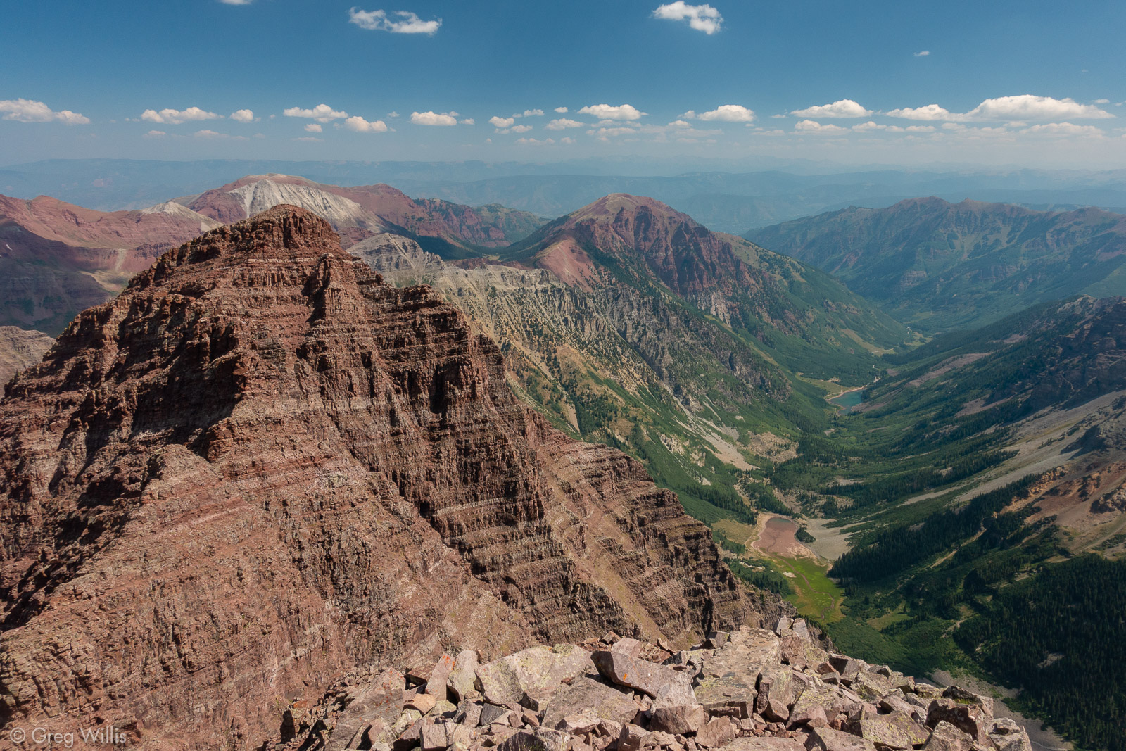
We made the summit a little before 11:00. Although behind schedule, I figured we’d make it up on the descent. The weather still looked good, so we had some food, relaxed, and enjoyed the stunning views of the Elk Range.

The climb back was as expected on the solid rock. Descending the gullies, however, required delicacy and finesse to not send a rockslide with each step. But too soon we climbed down from The Chimney and found ourselves at the ridge at the top of the Twenty-Eight Hundred Feet of Suck.
The 40° slope was steep for walking with plenty of dirt, gravel, and small rocks to ‘help’ you on your way down by sliding your feet out from under you. It was longer, more tedious, and more boring than going up. But if you dared to take your eyes off of your boots, the deep red slopes of Pyramid Peak provided a brief relief.

So tedious was the Twenty-Eight Hundred Feet of Suck that going down we only made up 15 minutes from our ascent time. I’d landed on my butt twice, and was pretty happy it was only twice. So by the time we finally reached the valley floor, it had already been a long day. And we still had the valley floor trail to go.
The 3 1/2 miles seemed longer in the light than it had in the dark. But the view was better.

We arrived back at the car at 17:45, almost 14 hours after we set out. Subtract our summit time and it worked out to 13 hours. The lack of weather facilitated our leisurely pace, but boy were we glad that it was over. As we took off our packs and got in the car we all looked at each other and said “Yep, that was a long day.”
- When: 9 August 2018
- Total Distance: 10.0 mi RT
- Total Elevation: 4,636′
- Total Time: 13:00 hrs
- Colo 14er Rank: #24




Leave a Reply