Tanner Rapids to Neville Rapids via Escalante Route
- Grand Canyon Escalante Route: Part 1
- Grand Canyon Escalante Route: Part 2
- Grand Canyon Escalante Route: Part 3
7 May 2019
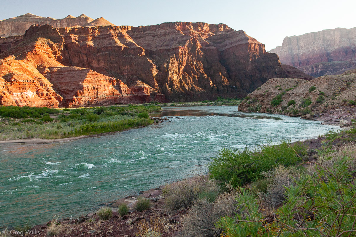
After our rest-ish day, it was now time to start solving the problem of getting back to the car. It was time to get moving. The day was going to be long one, so we got up early, broke camp, shouldered our packs, and began walking downriver.
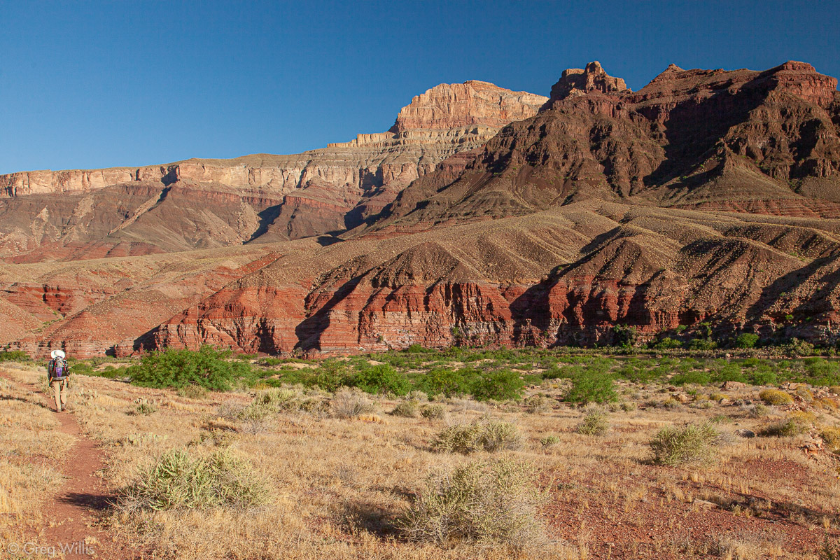
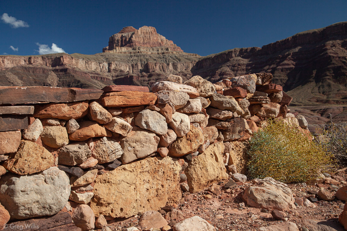
The first section of trail served as a good warm-up for the rest of the day. It led along the river, going up & down through a number of small gullies. This part is commonly known as Furnace Flats because of its lack of shade and high temperatures. Our hike, though, was in the shade until the sun finally rose above the high canyon rim, so not too bad. After Cardenas Creek, the trail started up, and it would keep going up for most of the day.
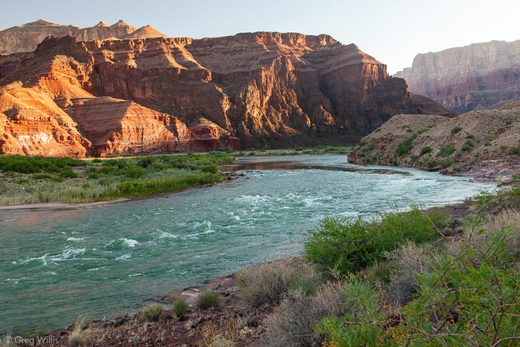
Sunrise in the Canyon 
Near Cardenas Creek 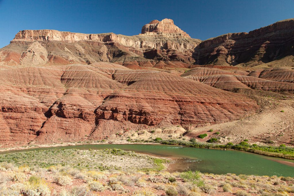
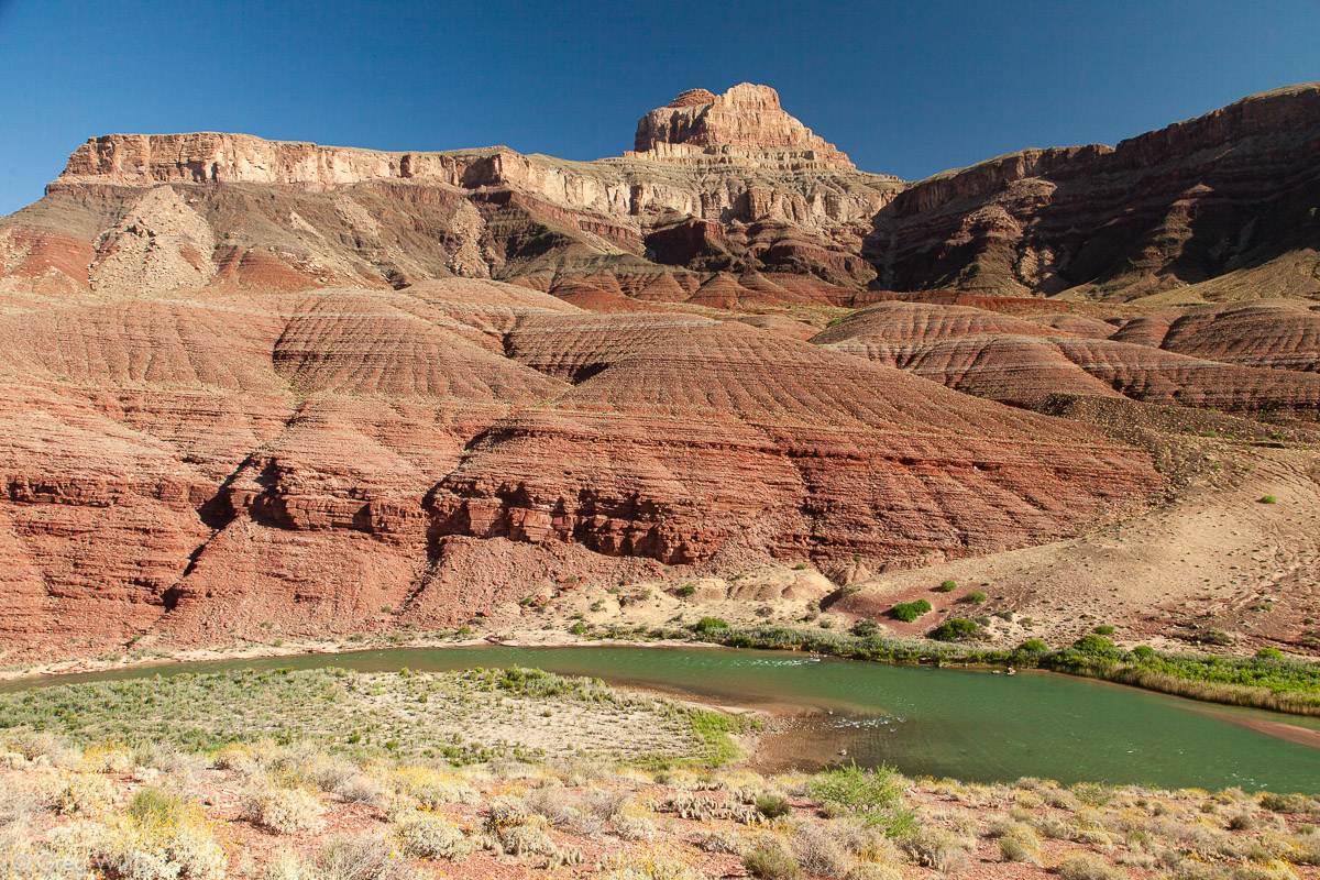
Apollo Temple 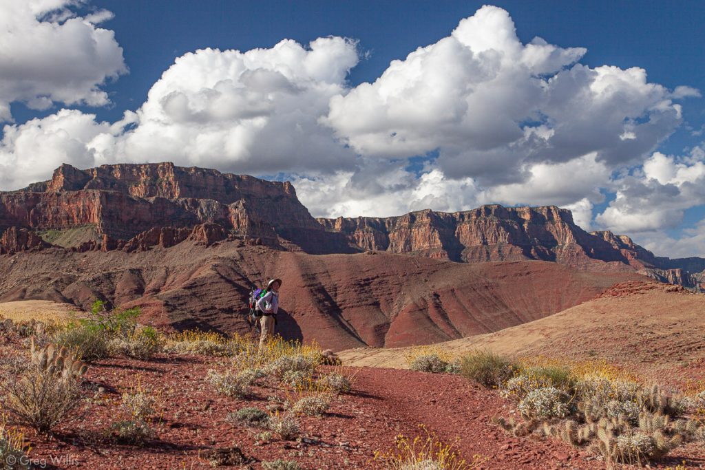
Along the Escalante Route

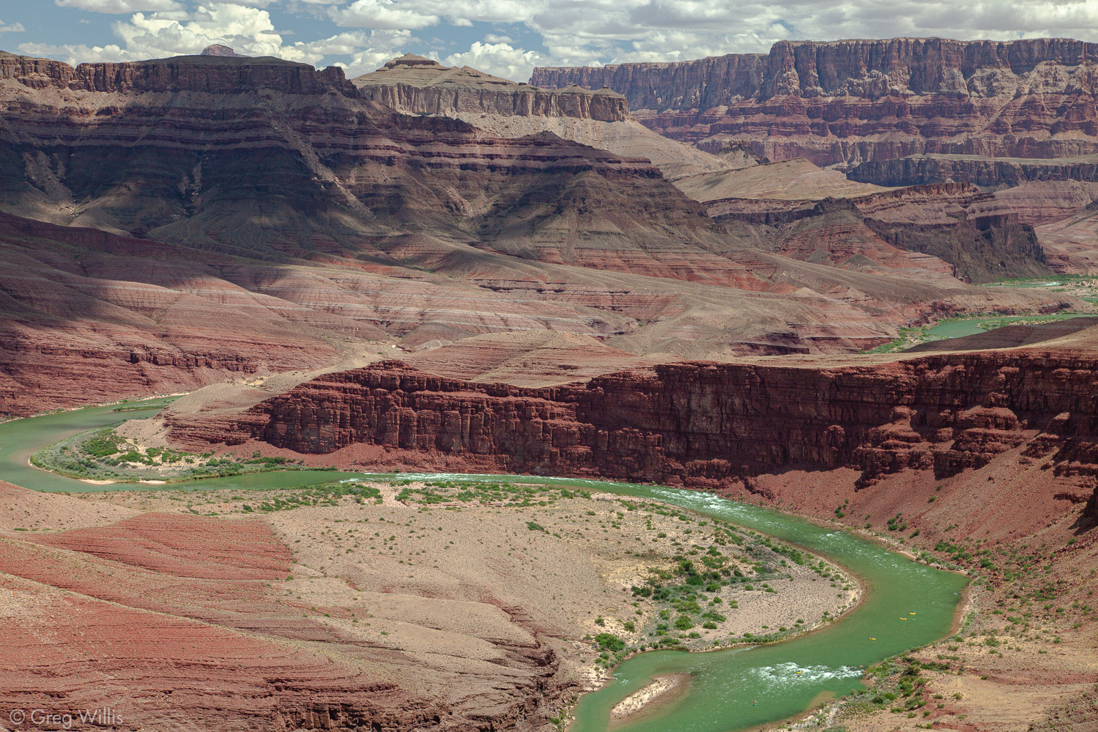
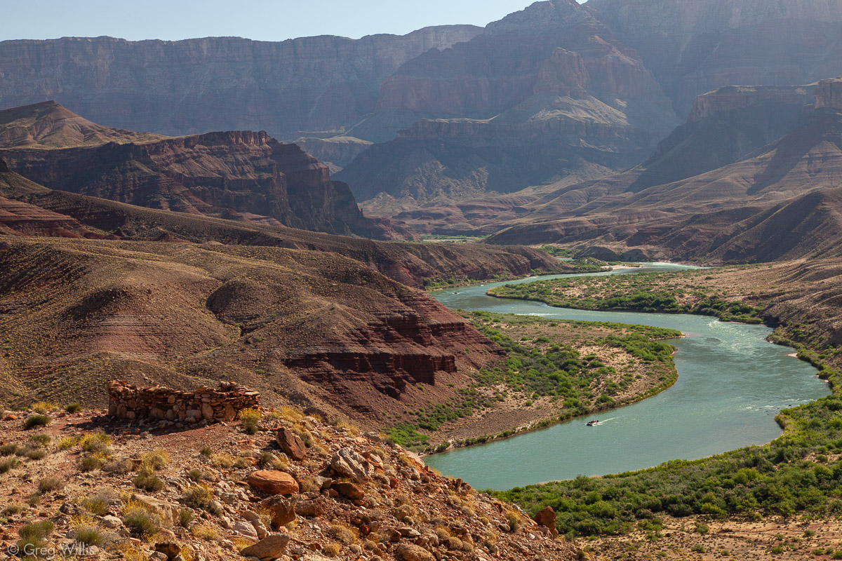
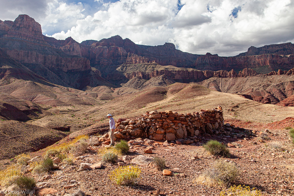
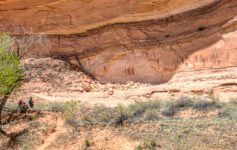
A Native American ruin, imaginatively named Hilltop Ruin, sits at the top of a rise with a stunning view of the river and canyon upstream.
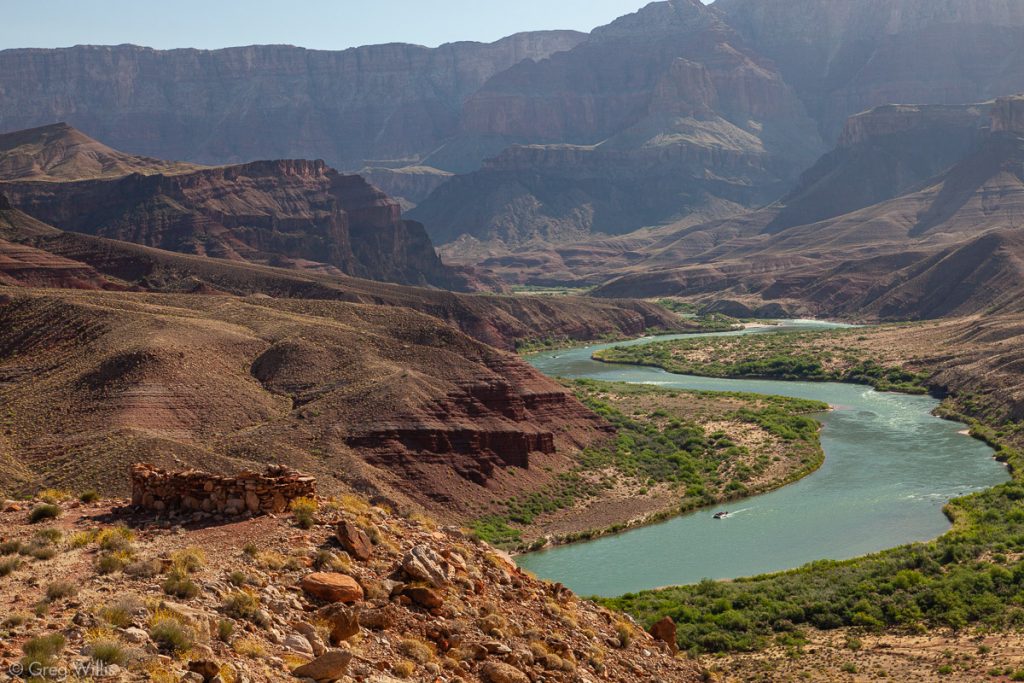
Hilltop Ruin & Colorado River 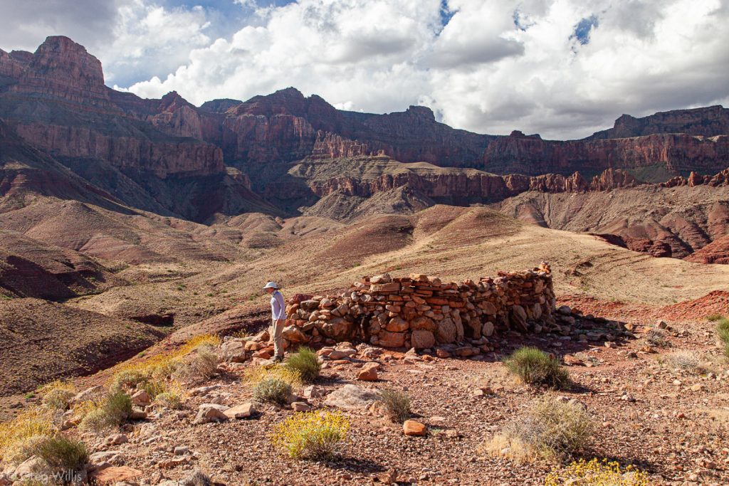
Hilltop Ruin 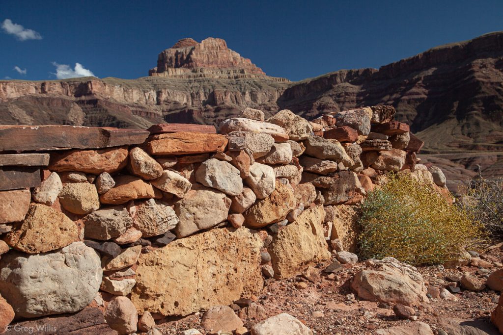
Hilltop Ruin
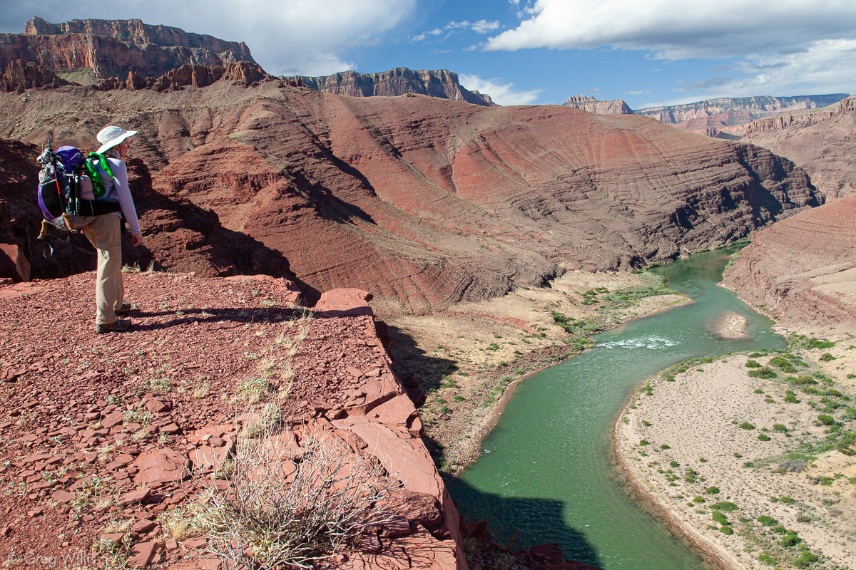
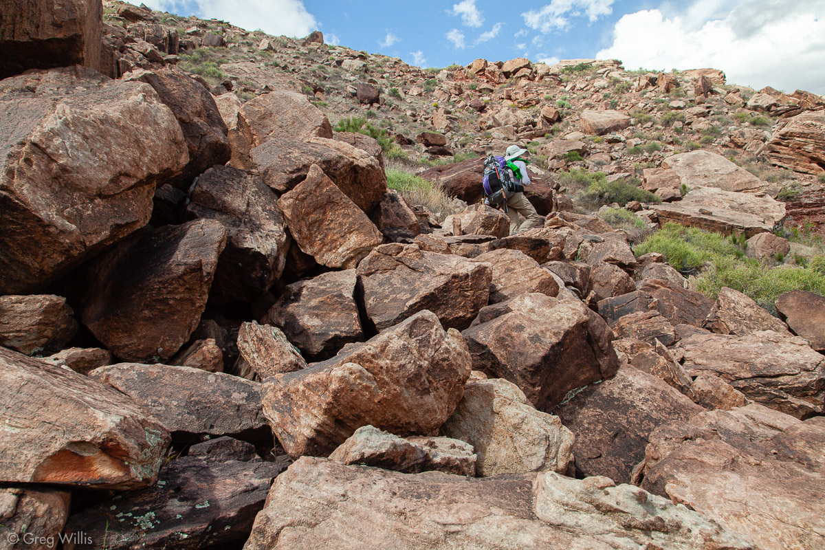
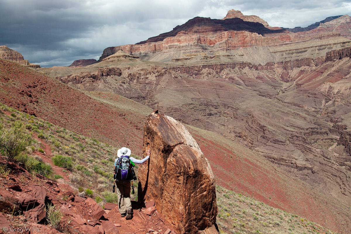
After the ruins the trail keep going up. We had a great view of the Unkar Creek Rapids, although we did not detour to the overlook spot. Rockfall under a ridge spur of Escalante Butte made for some slow going as we climbed over the boulders. We finally capped out at 1,300 feet above the river. The spot for our lunch would have been perfect place for a longer rest, but the clouds and rain to the north drove us onward and downward.

H & the Colorado at Unkar Creek 
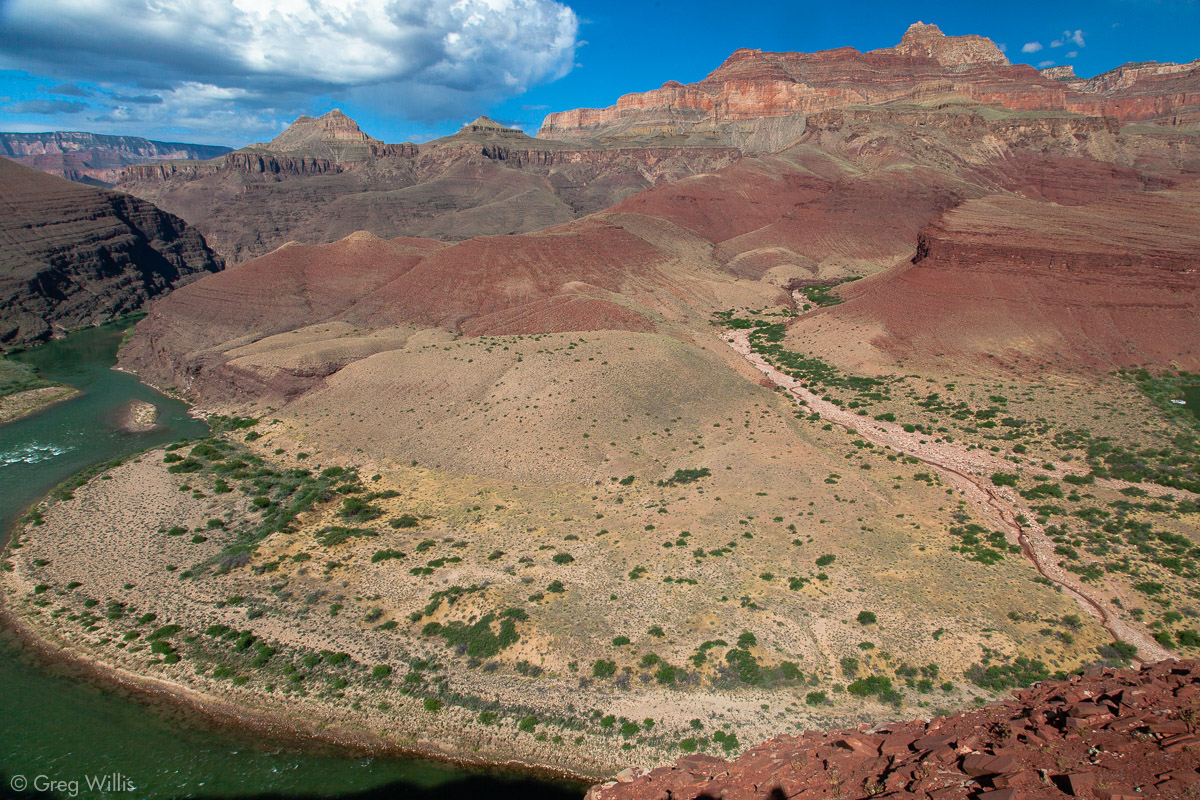
Unkar Creek Delta 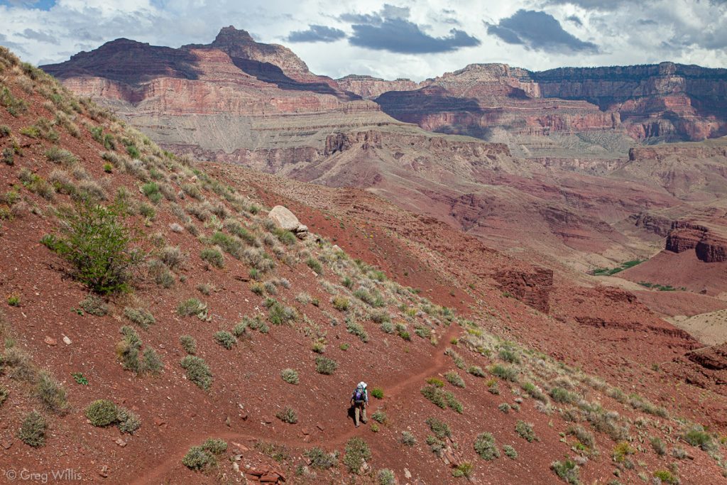
Escalante Route 
Rockfall on the Escalante Route 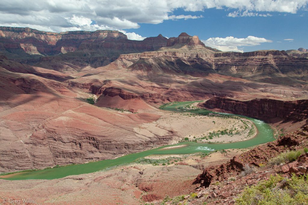
Unkar Falls and Apollo Temple 
Downstream Colorado River 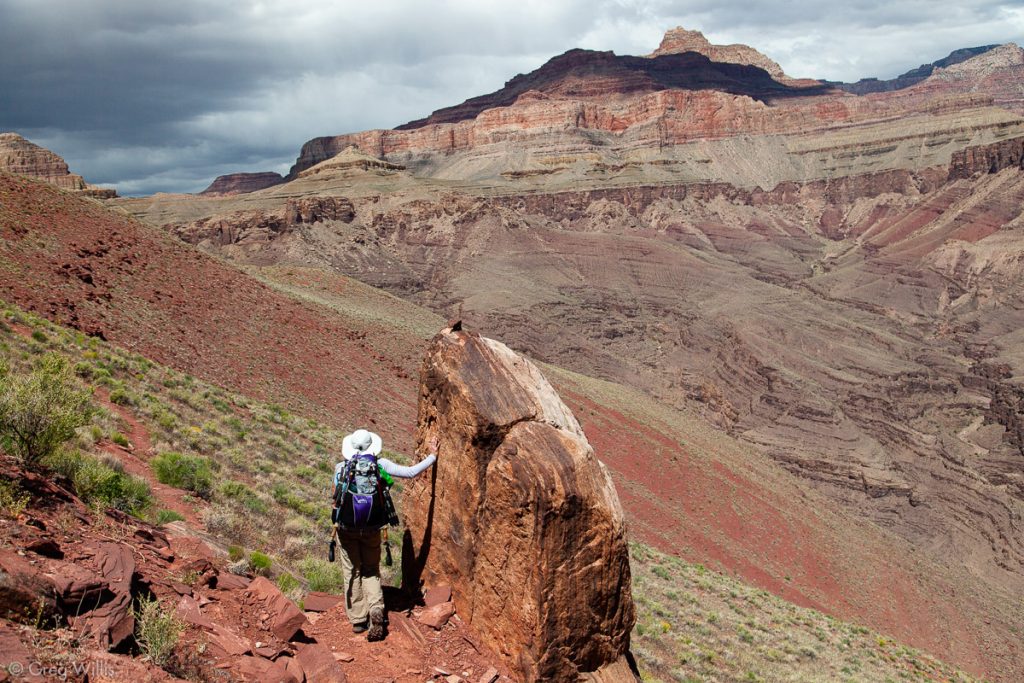
A Break to Look at Vishnu Temple


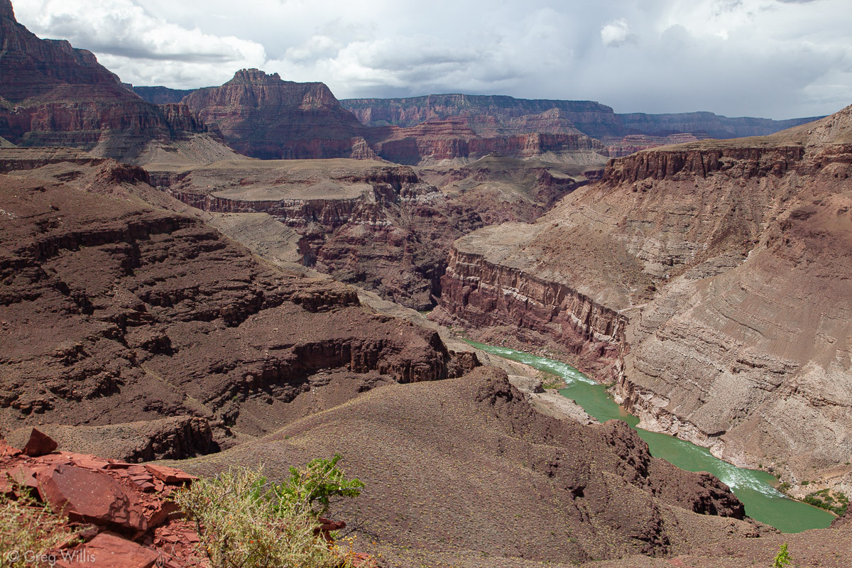
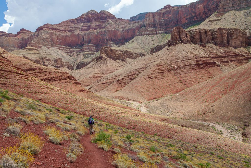
The trail takes the Escalante Creek drainage all the way to the Colorado. It starts out open and wide, but eventually narrows into a canyon, then leads to the river. The campsites where Escalante Creek hits the Colorado looked so welcoming, but our day didn’t end here. We had one more drainage to go. So we started up again.
Heading down Escalante Creek 
Escalante Creek 
Trail Goes Up Again After Escalante Creek

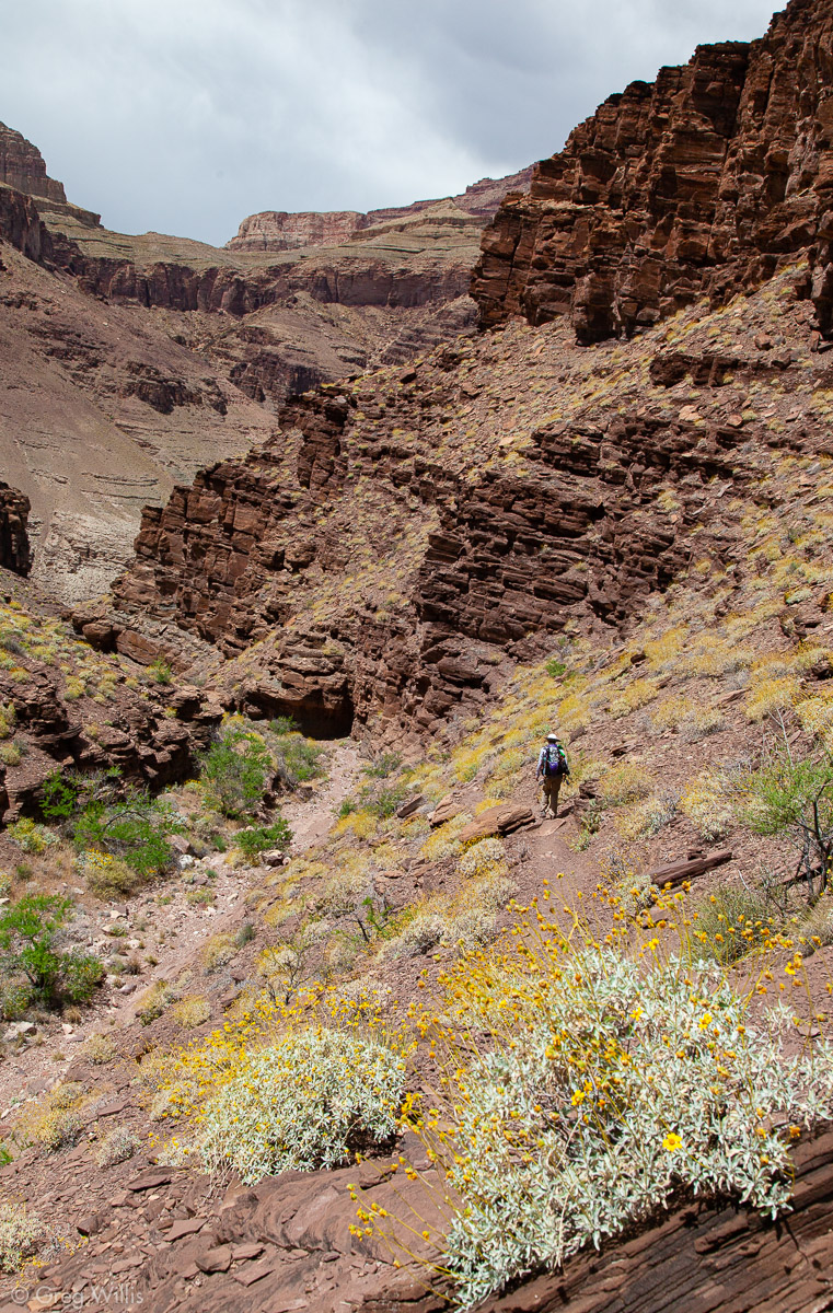
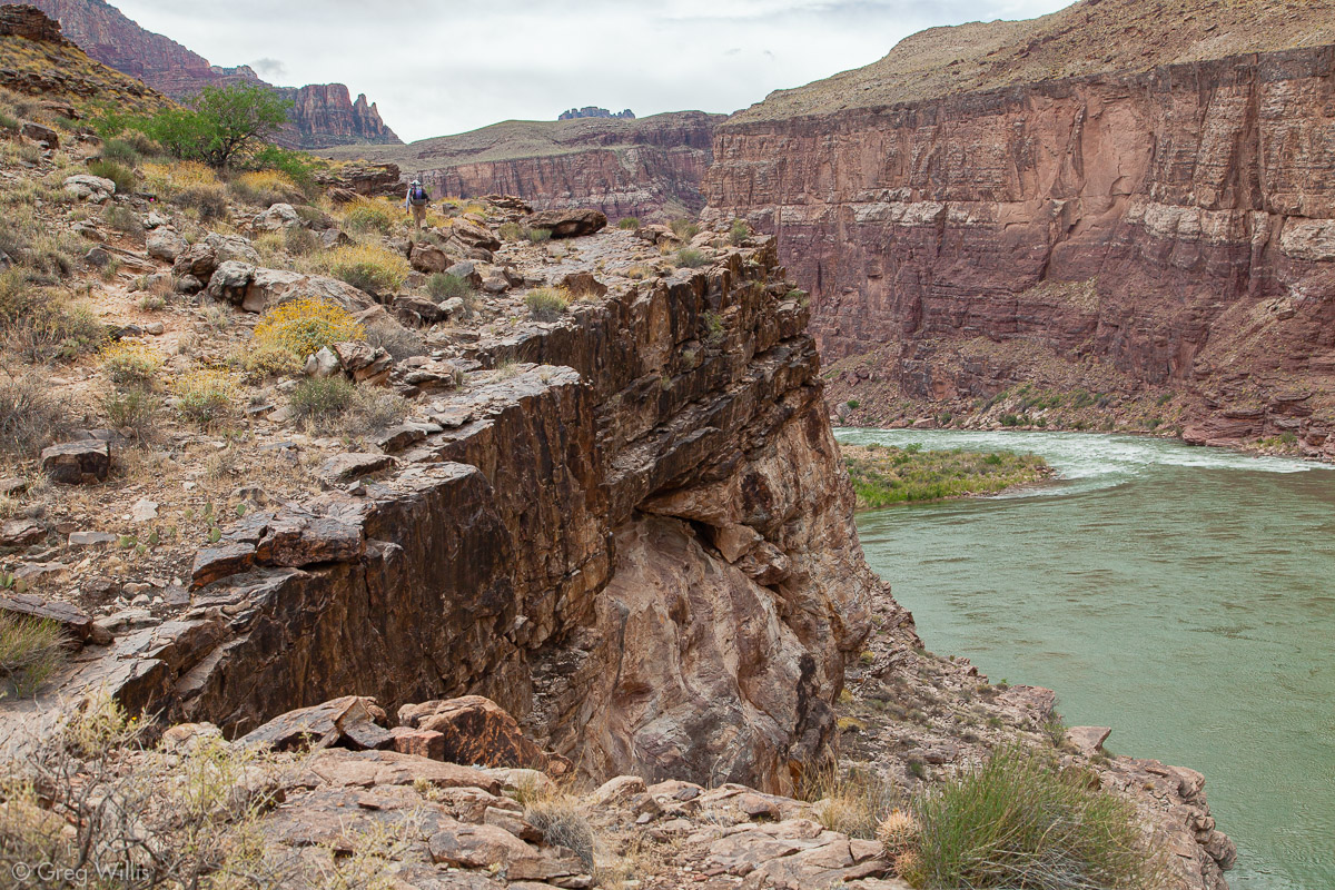
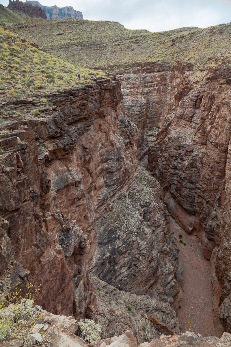
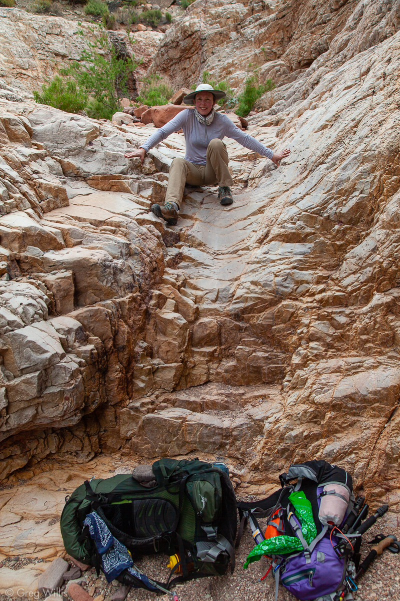
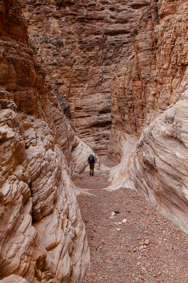
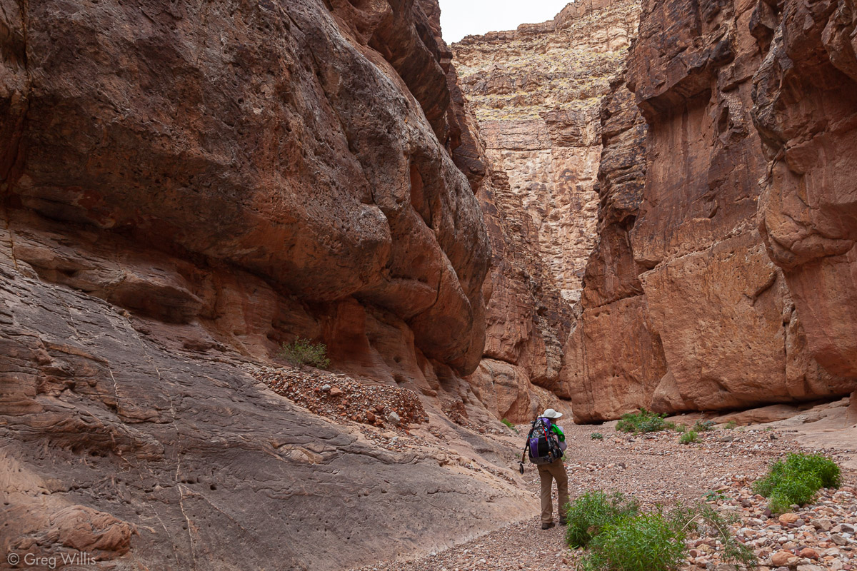
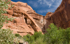
On our first day we looked down Seventyfive Mile Canyon from Tanner Trail. And now our last section of the day was the last section of Seventyfive Mile Creek. And the last section of Seventyfive Mile Creek is a slot canyon. We’d been driving ourselves relentlessly all afternoon because thunderstorms, slot canyons, and backpackers do not go well together. Thankfully our hurry paid off, we made it in and out of the slot before the rain came. The rock was pretty polished where you get into into the canyon, and if wet it could be dangerous. We’ve done a fair number of slot canyons, and this one ranks right up there. It’s not very narrow, but it is very dramatic, opening up right on the Colorado.
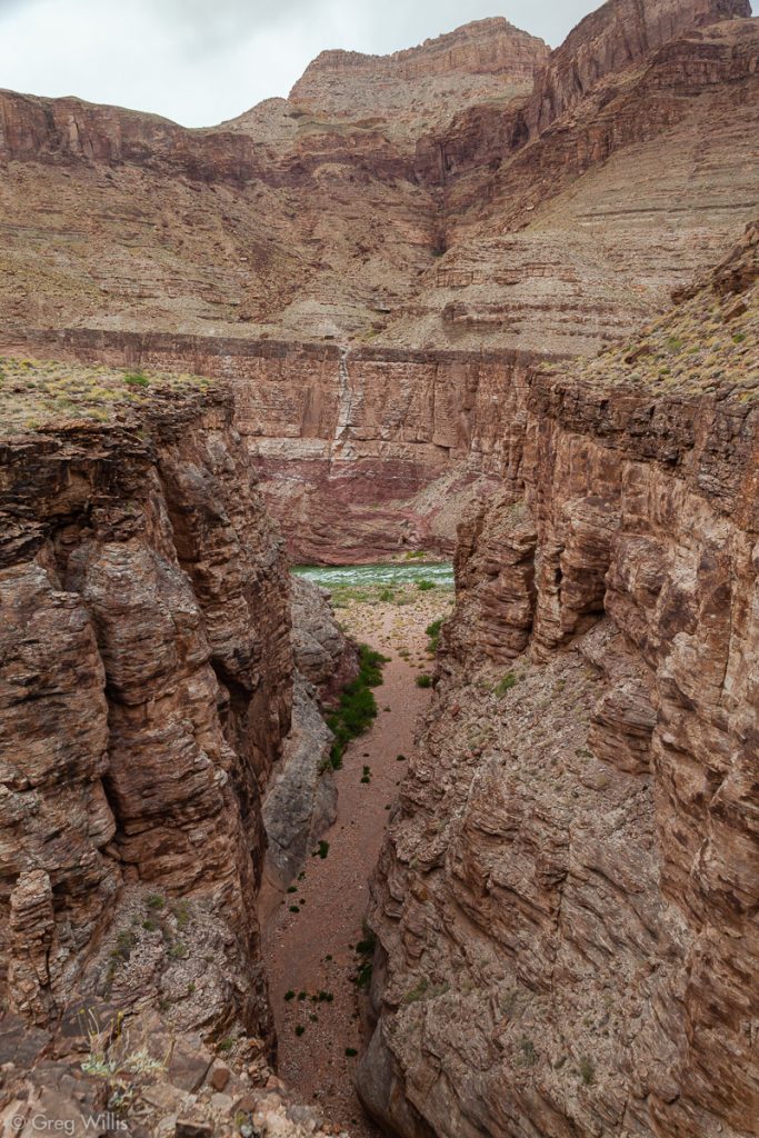
Colorado River from Seventyfive Mile Slot Canyon 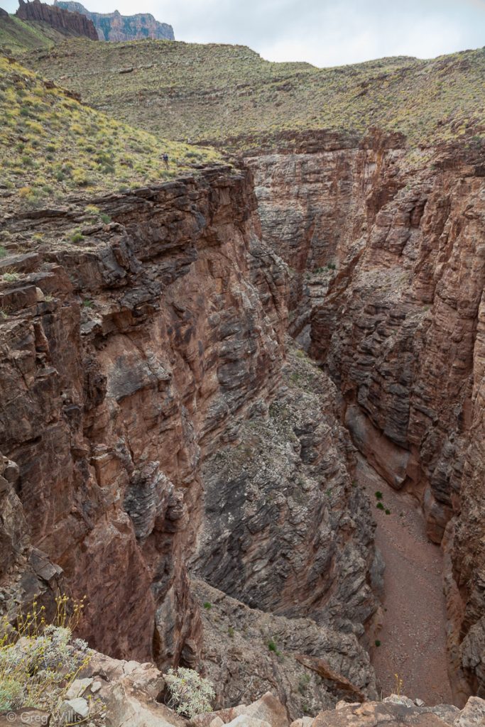
Seventyfive Mile Slot Canyon, Looking Upstream 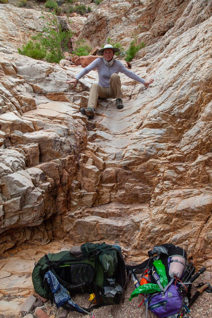
Heading into Seventyfive Mile Slot Canyon 
Seventyfive Mile Slot Canyon 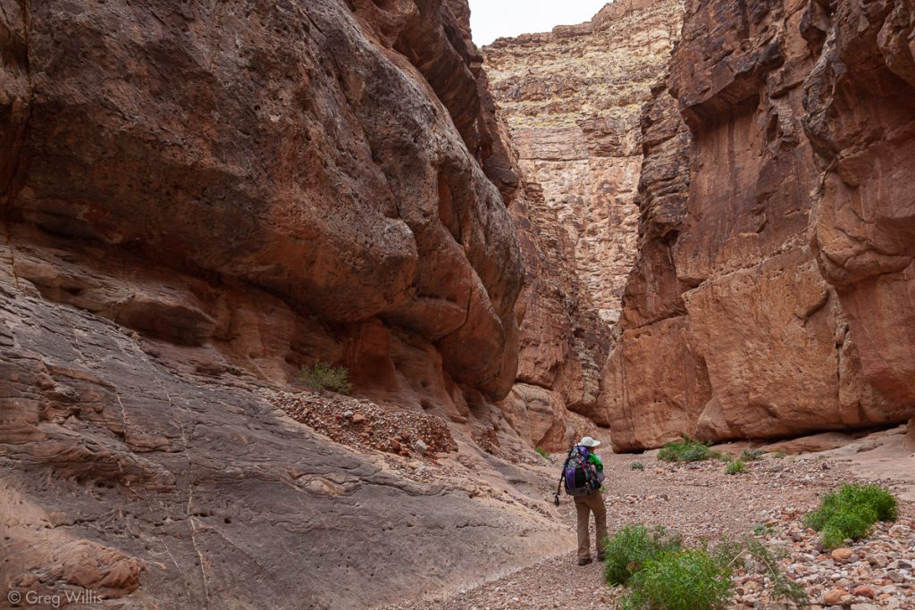
Seventyfive Mile Slot Canyon from Inside

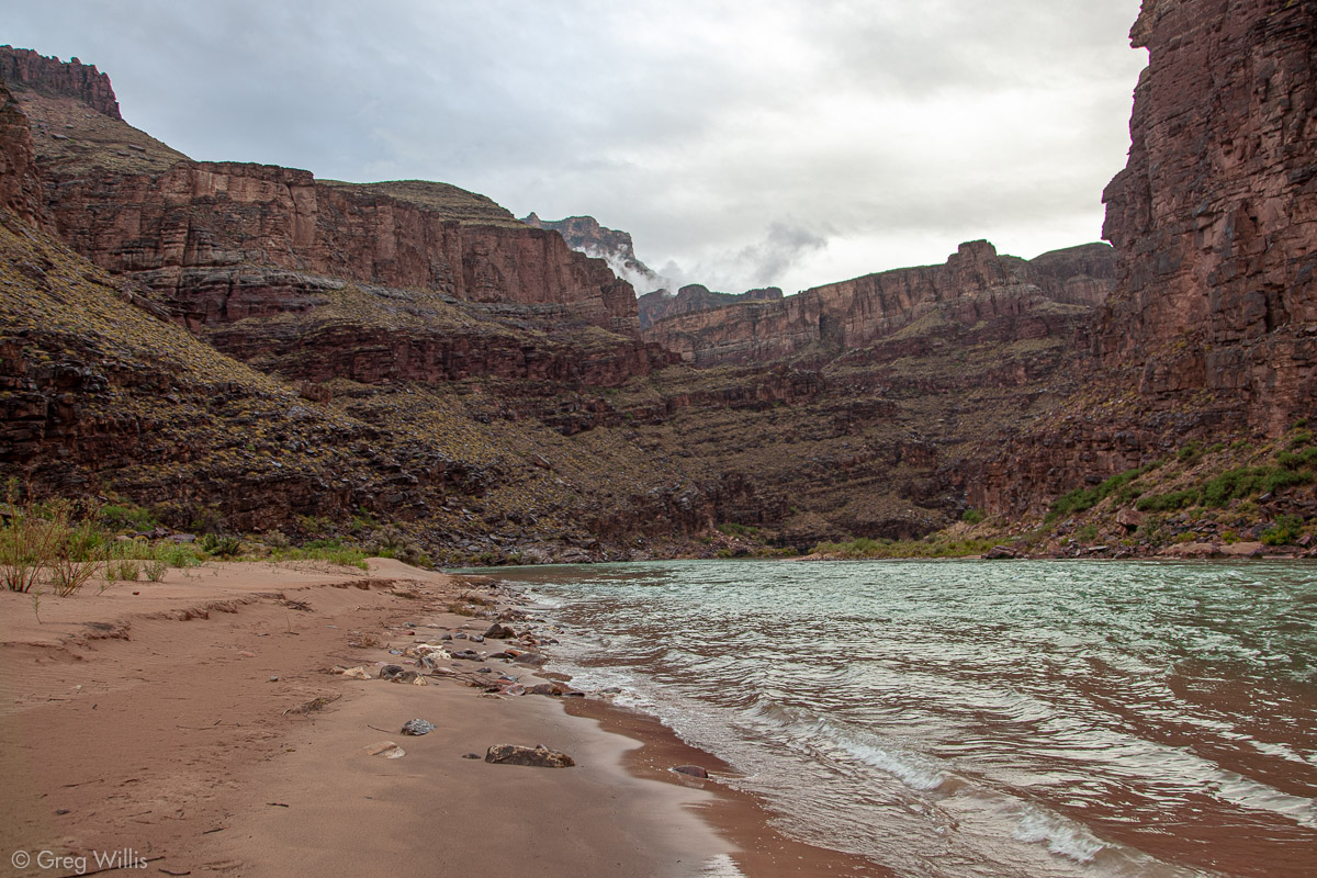
And at the mouth of the canyon was Neville Beach, our place for the night — literally, no one else was there. The weather was moody as we set up camp with on and off rain. The next day was as challenging as this one and we wanted to get an earlier start to have more daylight, so we’d set an early alarm and hoped for better weather.
- When: 7 May 2019
- Distance: 11.0 mi
- Elevation: 1,300′
- Time: 8:15 hrs
- Others on the Trail: 0


1 Comment