
- Grand Canyon Escalante Route: Part 1
- Grand Canyon Escalante Route: Part 2
- Grand Canyon Escalante Route: Part 3
Neville Rapids to Horseshoe Mesa via Escalante Route & Tonto Trail
8 May 2019
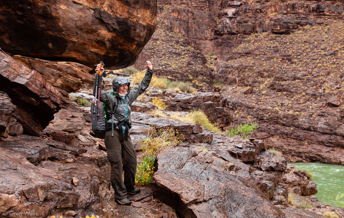
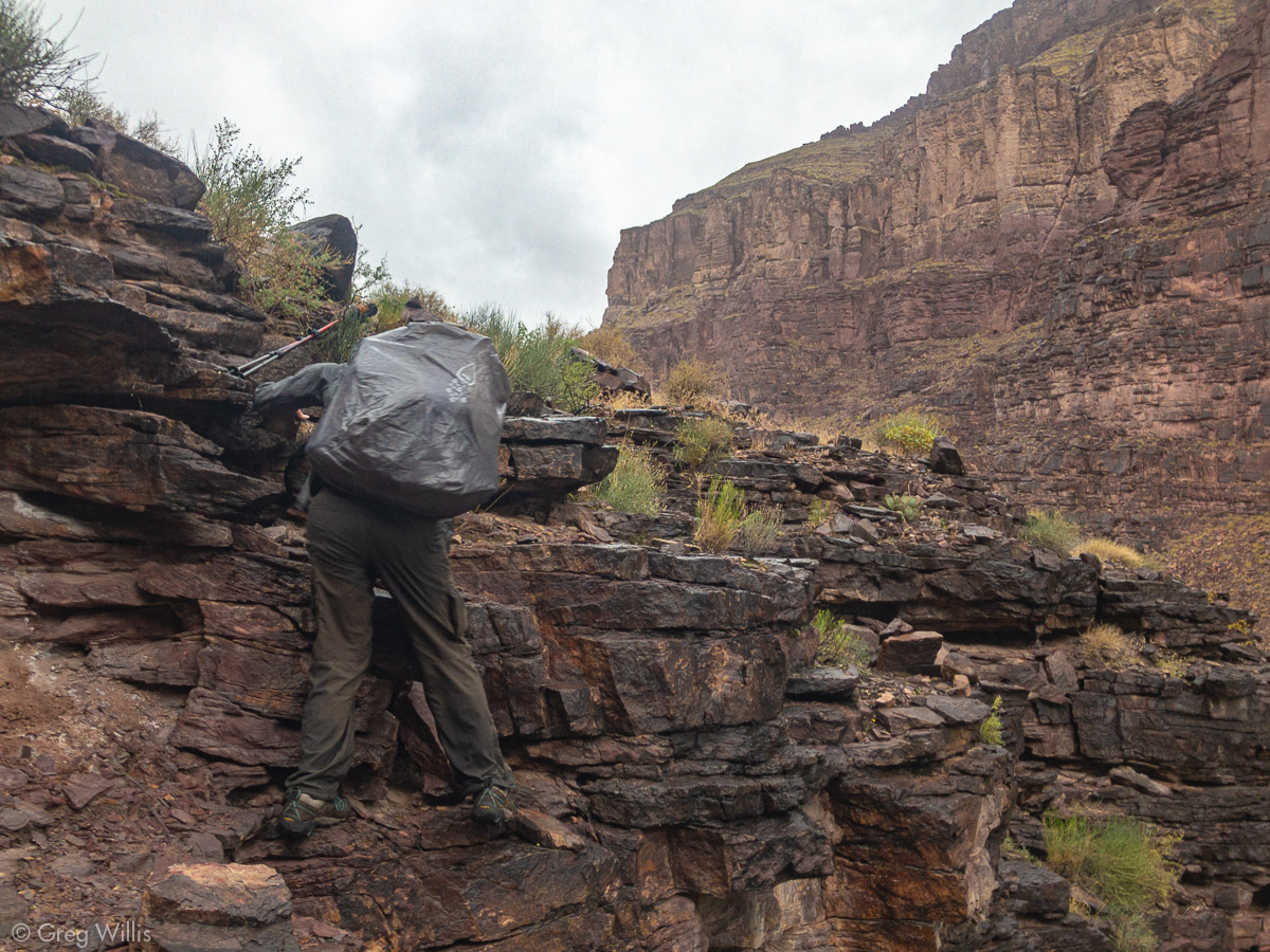
The weather, however, did not get better. Showers started before our early alarm went off, and slowly but steadily increased. By the time we put on our backpacks, it was flat out raining. And by the time we reached our 30 foot scramble, the Papago Wall, thunder and lightning accompanied the heavy downpour. The scramble itself not very technical — good rock, solid holds & footing, fairly short. But the rain and our packs gave this easy scramble a bit of spice.

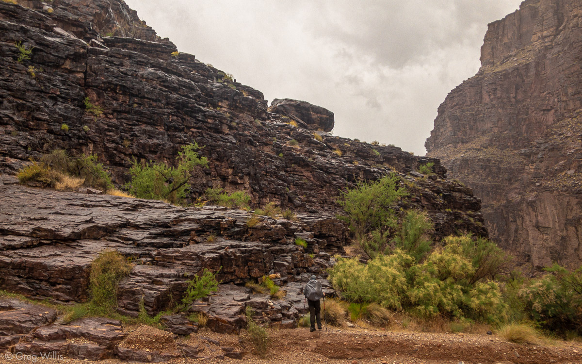
Escalante Route, A Bit Damp 
H Atop the Papago Wall 
Papago Wall 
Papago Wall Scramble in the Rain
And as if all this were not enough, during the climb I popped my head above a ledge and right there was a coiled rattlesnake at face level. But with the cold rain the small guy wasn’t very frisky and my trekking pole made quick work of it.
Of course, as we finished the climb the rain let up. And downriver, blue skies had come out.
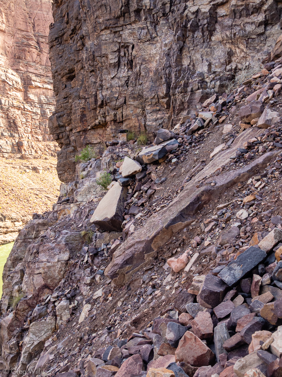
Our last challenge of the morning was getting back down to the river through a talus-filled gully — the Papago Slide. Although slow-going, we kept close together so any rockfall was not dangerous. I would not, however, want another party above us because rock will come down.
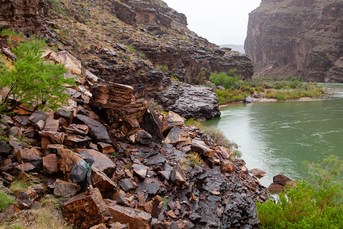
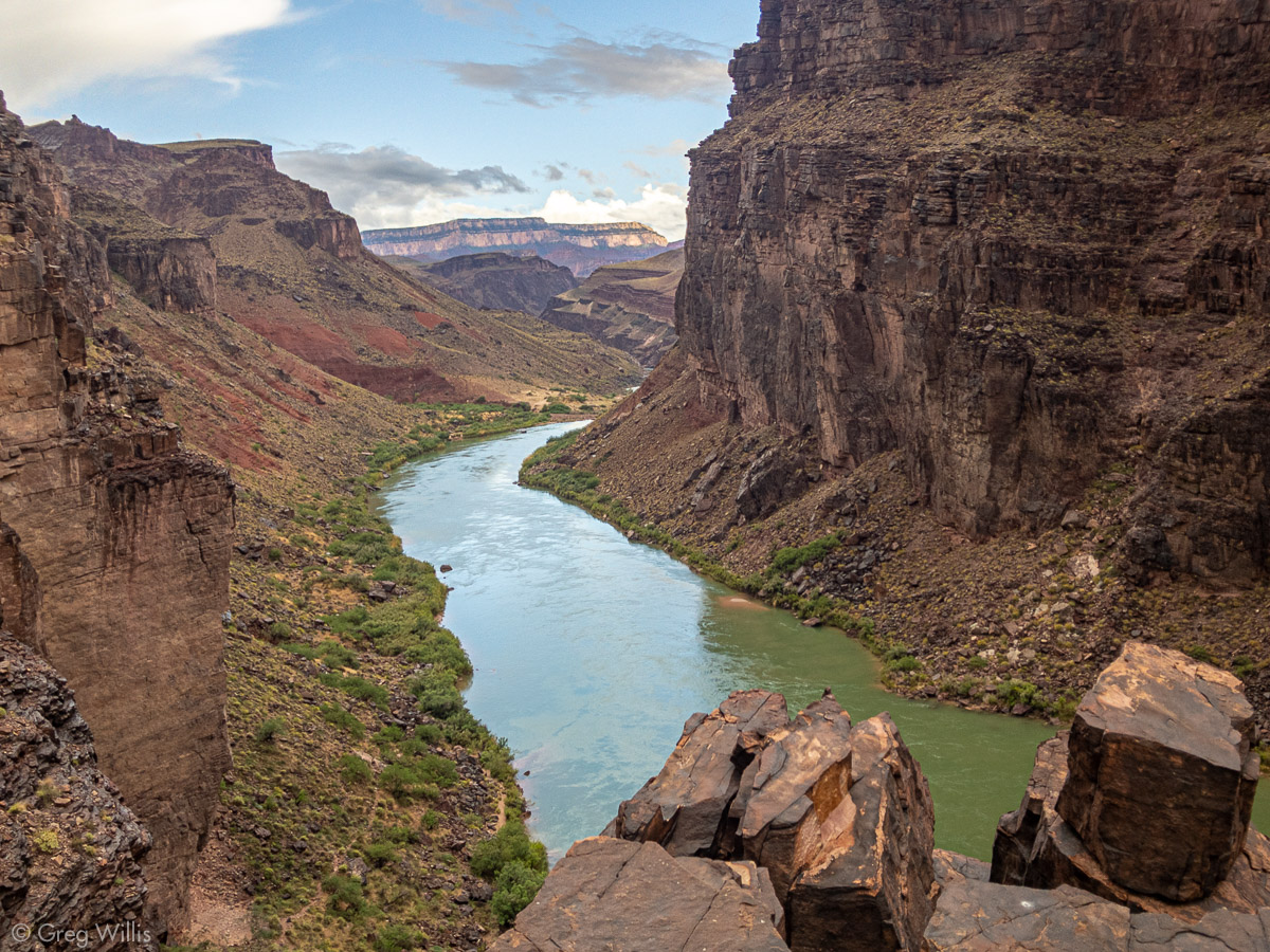
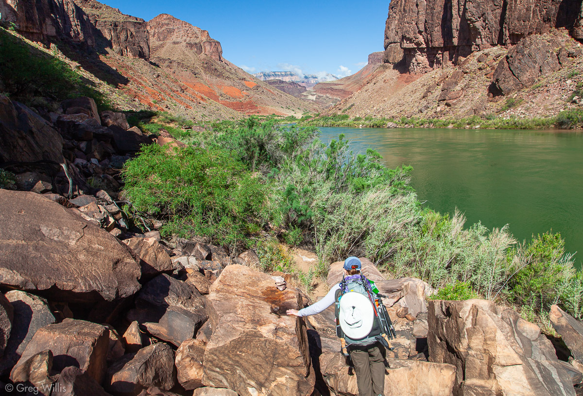
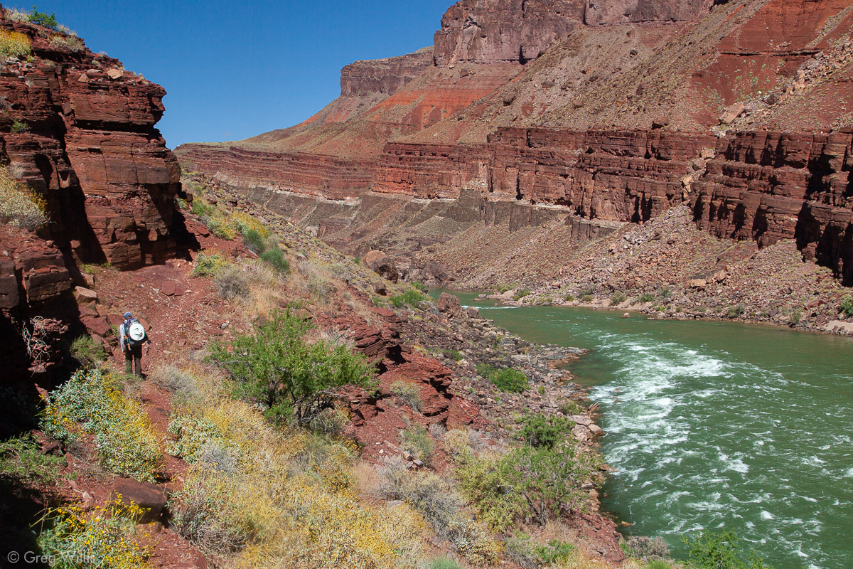
The last section of the Escalante Route alternated between boulders and tamarisk along the riverside. And soon we hit Hance Rapids, the end of the Route and the beginning of the Tonto Trail. And the beginning of our ascent from the river to the rim.

Papago Slide 
Last Section of the Escalante Route 
Hance Rapids 
Tonto Trail Going Up after Hance Rapids
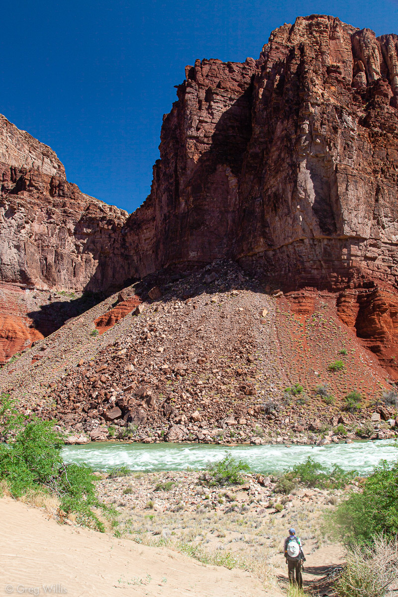
No trail follows the Colorado after Hance Rapids. The river goes into the Granite Gorge, which is too steep to hike in. So we said farewell to our companion (and water source) of the last four days.
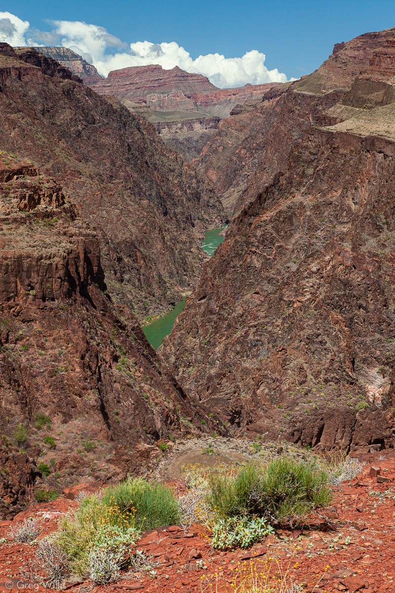
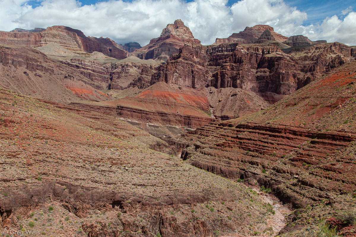
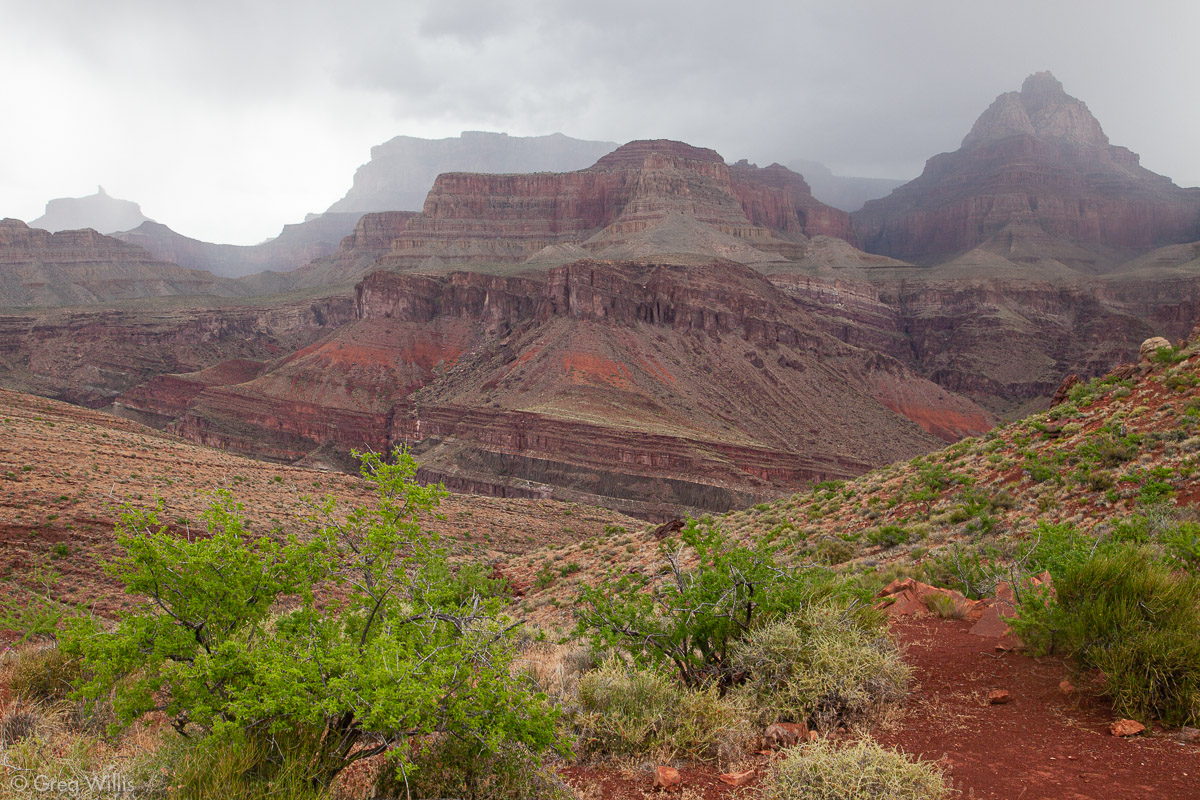
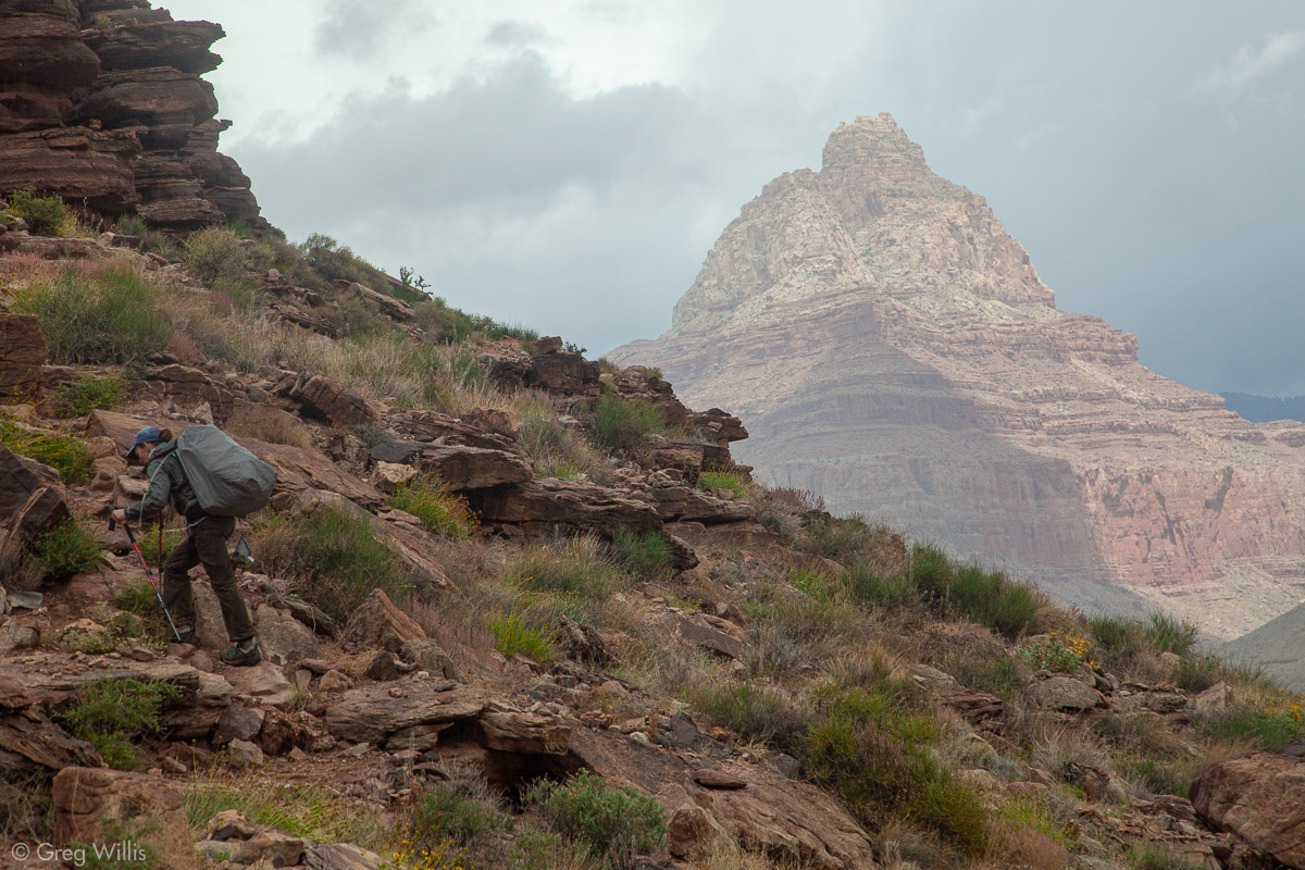
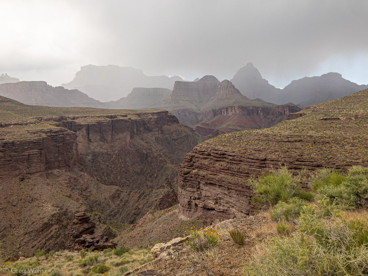
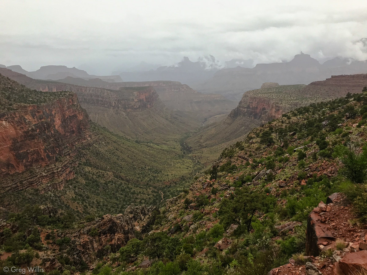
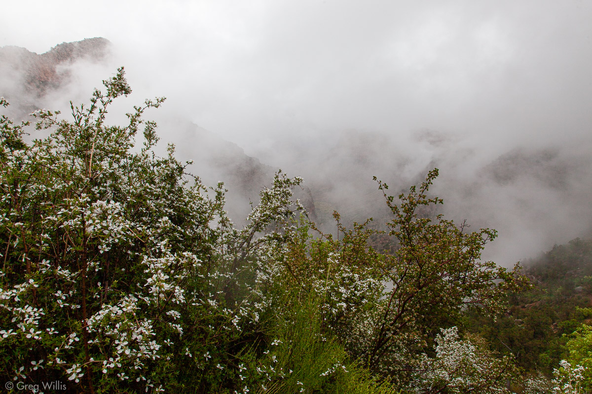
Being down at the river does constrain one’s view, so the climb out introduced us again to the sweeping vistas of the canyon. As we continued up, clouds introduced themselves into the vista, then grew, then darkened. So although we only got a few drops — the rain stayed to the north — the uphill slog was punctuated by the threat of rain and lightning.

Vishnu Temple from Mineral Canyon 
Rain in the Canyon 
Vishnu Temple in the Rain 
Incoming Rain
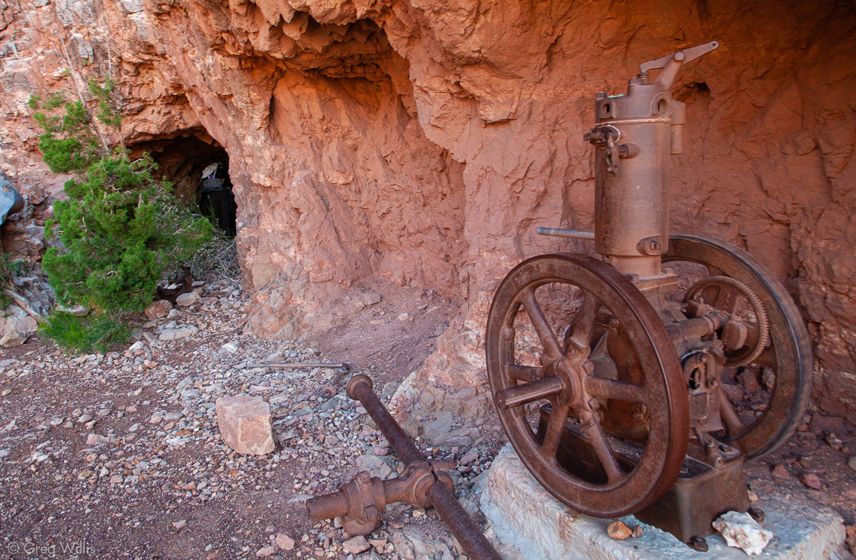
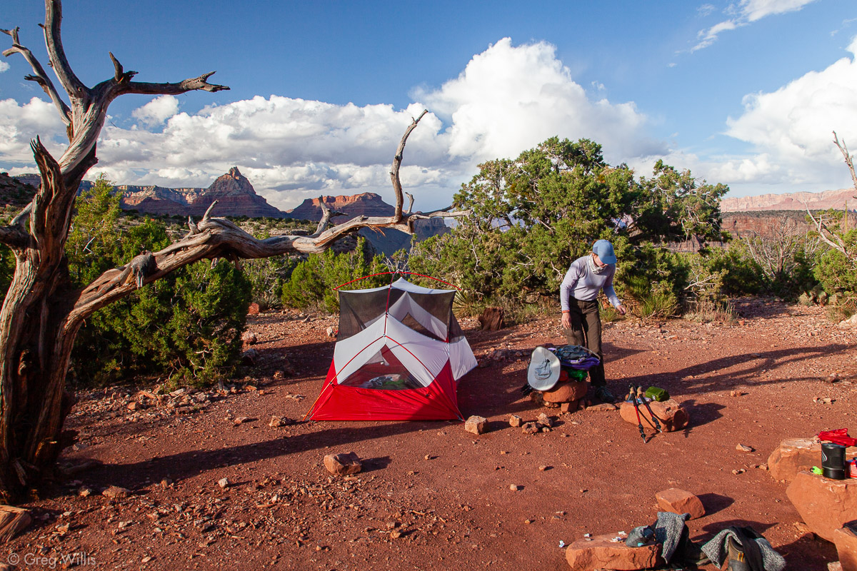
The day would end on top of Horseshoe Mesa, so after lunch we still had about 2,000 feet to go, most of it in one push. Since there’s no water on the mesa, we pumped from Page Spring on the way up. And we also stopped at Last Chance Mine, glad that the trail was not our daily commute. By the time we set up camp, the skies had once again cleared and we had a beautiful sunset for our last night in the canyon.

H Exploring the Last Chance Mine 
Campsite on Horseshoe Mesa
- When: 8 May 2019
- Distance: 10.3 mi
- Elevation: 2,500′
- Time: 10:30 hrs
- Others on the Trail: 6
Horseshoe Mesa to Grandview Point via Grandview Trail
9 May 2019
Our last day really had nothing very good about it. It started gloomy. And by the time we’d finished a short day-hike to Cave of the Domes (a worthy and cool sidetrip, the highlight of the day), the rain had begun. The good news was that the rain didn’t last the whole 2,600′ to the rim; the bad news was that it changed to snow about halfway up. The clouds took away our view, and the steep trail took away our breath. By the time we reached the car, it had a couple of inches on it and we were soaked and tired. But we had done it. And now we were safe and warm. We drove to Grand Canyon Village to check-in to our rim-side room, dry off, and have a beer.

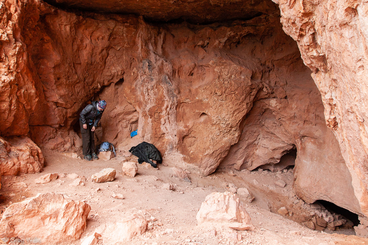
Entrance to Cave of the Domes 
Rain & Snow Coming in on the Grandview Trail 
Not So Grand a View on the Grandview Trail
- When: 9 May 2019
- Distance: 5.0 mi
- Elevation: 2,600′
- Time: 4:30 hrs
- Others on the Trail: 4
Thoughts
It truly was a once-in-a-lifetime trip. I say that because there’s no way I’d ever do that again. With heavy packs, arduous trails, & long milage it was easily the most prolonged difficult trip we’ve ever taken. And I did us no favors by my itinerary — it was aggressive. An extra day in there could have made it more reasonable. But I wanted the physical challenge of the long days, and we met it.
It sounds trite, but the Grand Canyon really is a special place. And the Escalante Route gives you qualities other trails cannot. It’s a river route, taking you along the river when it can and always returning you to it. Being right by the river, instead of seeing it at a distance from above, gives a sense of intimacy with the canyon. And we encountered no one on the Escalante Route, and only a few folks on either side of it. It felt like we had the whole canyon to ourselves for days. It was a physical accomplishment and a rare privilege to move ourselves along this wondrous landscape.


Hi Greg
Your photos made me remember my two hikes to Tanner rapids in 1994 and 2007. On both ocasions I hiked the Beamer trail to the little Colorado confluence. On the first one I went to Unkar rapid overlook. I camped at Tanner 2 nights and in 2007 watched a squirell trying to prevent a rattler to get into his burrow sending stones to the snake! An amazing scene which lasted 10 minutes. Grand canyon has been my addiction between 1991 and 2007 coming for vacations from Paris (France). I also hiked to Supai and the Paria canyon as well a few short trails in Canyonlands. I’m too old now to achieve those hikes especially having serious heart problems since 2017. I really miss those hikes. Take care and be careful.
Regards from France
Claude