The hardest part of climbing Fourteeners is the driving. Yeah, there’s the scrambling and the backpacking and the camping and the elevation — but nothing’s harder than that drive.
If you take one trip for each Fourteener, that’s over 50 separate trips with most being multi-hour drives each way. If you’re content to climb a couple each year, then maybe that’s not too bad. But the clock is ticking for me — I don’t have decades of climbing left.
And I’m not talking about the easier one-day grab bag of Grays-Torries or DeCaLiBron. Separate mountains, one each day.
The trick is to get into good enough condition so you can climb 3-4,000 feet a day for multiple days in a row. In the summer of 2019 I’d climbed a lot of mountains in the late spring and early summer, so I was as ready as was every going to be to hit one a day for three days.
The Sawatch Range, on the west side of the Arkansas valley, has 15 of the 53 Fourteeners. I’d done 7 and had 8 to go. Without time to waste, it was time for my Sawatch 3-pack.
Mount Yale
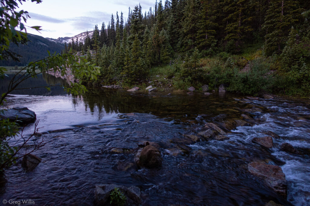
To kick off this mountain extravaganza I arrived at the Denny Creek trailhead at dawn, driving in the dark from Denver. Since the mountains on this trip were only class 2, I went solo. Mount Yale from Denny Creek as about as uncomplicated a Fourteener as you can find:
- the trailhead is right off a paved road
- the trail is well maintained
- easy wayfinding
Indeed, I made quick work of it, finishing in time for a lunch burger at The Evergreen Cafe in BV.
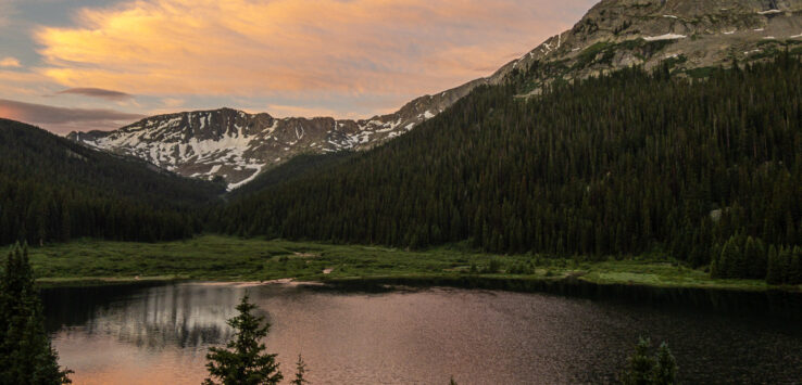
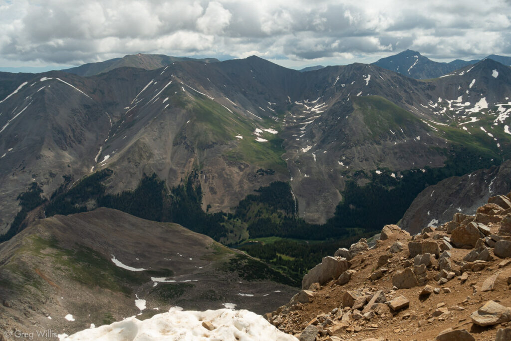
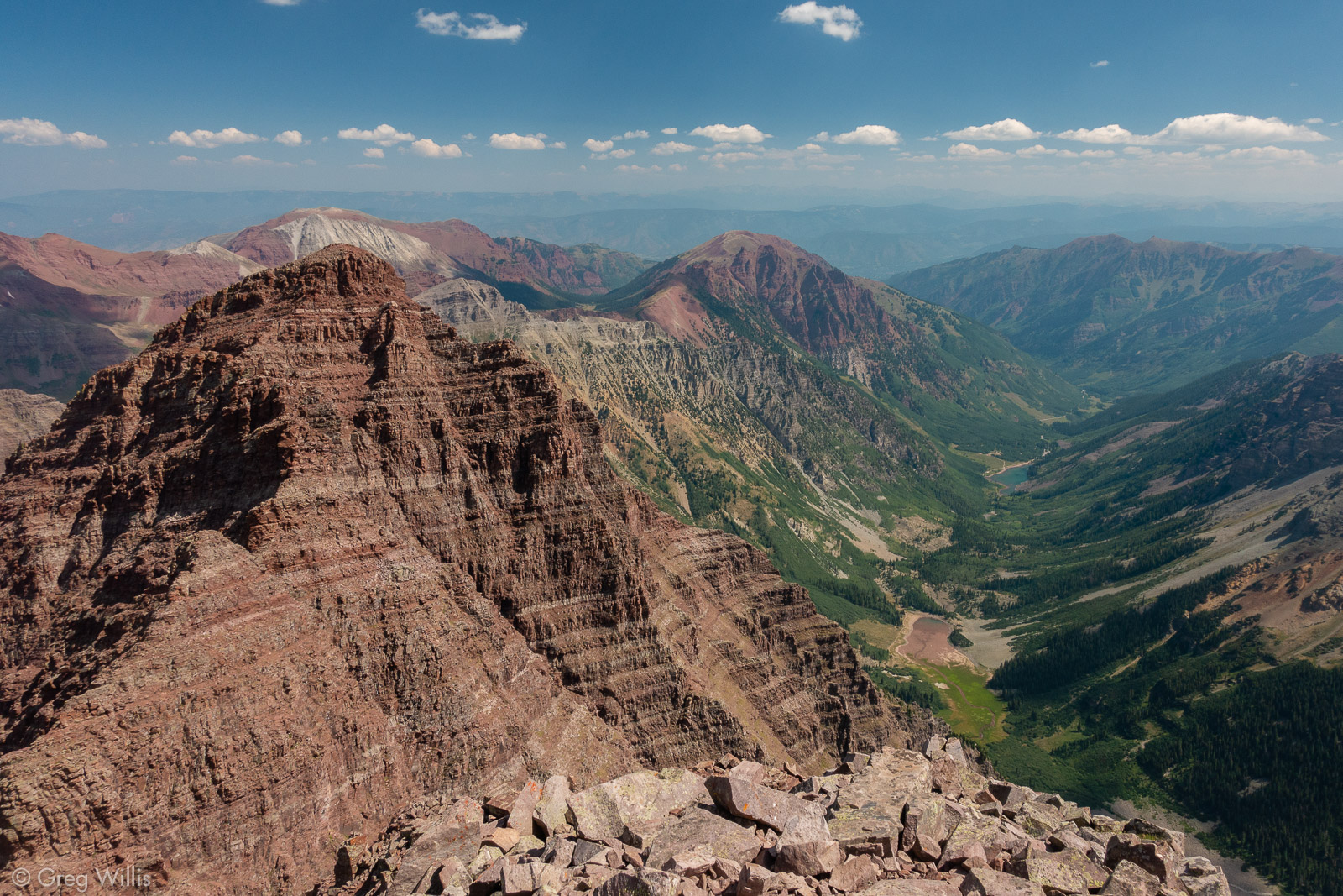
View of Mt Columbia, My Harvard, and the Horn Fork Basin from atop Mt Yale 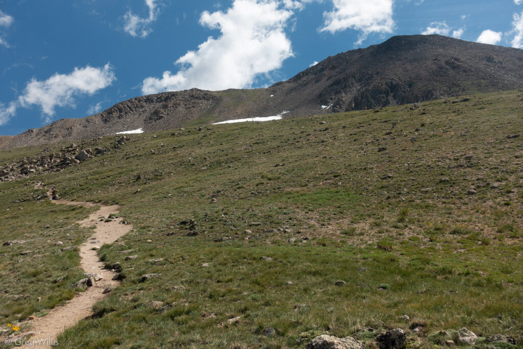
Summit of Mt Yale from the Trail Below 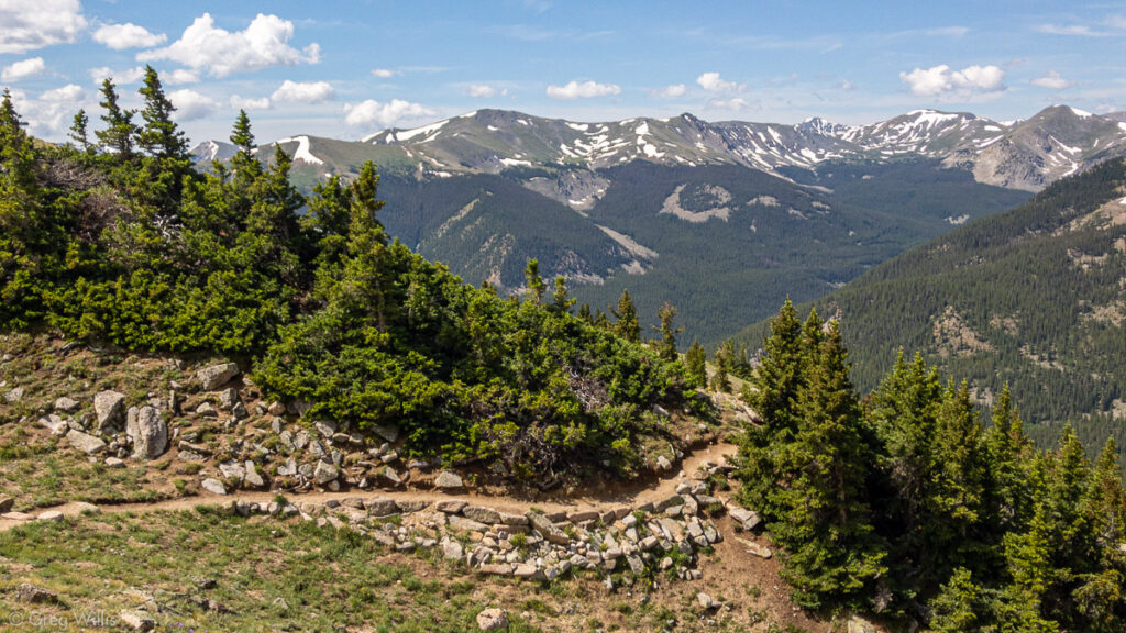
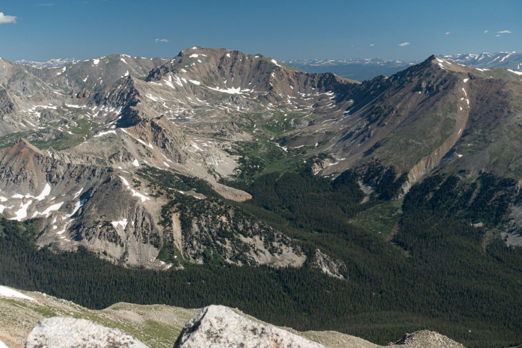
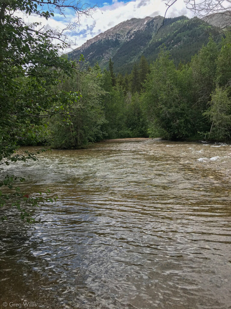
Sawatch Range View from My Yale Trail
Mount Yale from Dennys Creek TH
- When: 23 Jul 2019
- Distance: 9.0 mi RT
- Total Elevation: 4,465′
- Total Time: 6:00 hrs
- Colo 14er Rank: #4, #42
Map
Clohesy Lake
I’m a lazy climber. If I can shave off a few hundred feet by driving, you better believe that I’ll go right up that jeep trail. When planning the 3-pack, I noticed a lake between Missouri Mtn and Huron Peak: Clohesy Lake (also called Cloyses Lake). The lake is 1,000′ above the trailheads off of the Clear Creek road. If I were to camp there, I could shave a thousand feet off of one day’s climbing. The fact that the trails from the lake were not well-travelled didn’t bother me.
I’d planned to take my jeep up the 4WD road to Clohesy Lake. There’s a 100′ of Clear Creek that you have to ford, which hadn’t bothered me. But the historic winter snows, lack of road condition reports, and the fact that I’d be a solo driver all combined to make me think better of it. So I parked the jeep and strapped on the backpack. I was glad I did.
The creek ford came up to just below my knee. Probably not enough to float the jeep, but who knows. The road itself wasn’t in bad shape — muddy, but passible. But those avalanche debris. Avalanches from the other side of Lake Fork Creek tossed trunks, branches, and packed snow onto three sections of the road. Forest Service folks had cleared a path through two of them, but left the last one as a jumble of thrown trees. No parking, no where to easily turn around. The jeep would have been a bad idea. After climbing through the mess, I arrived at the lake.
Clear Creek ford 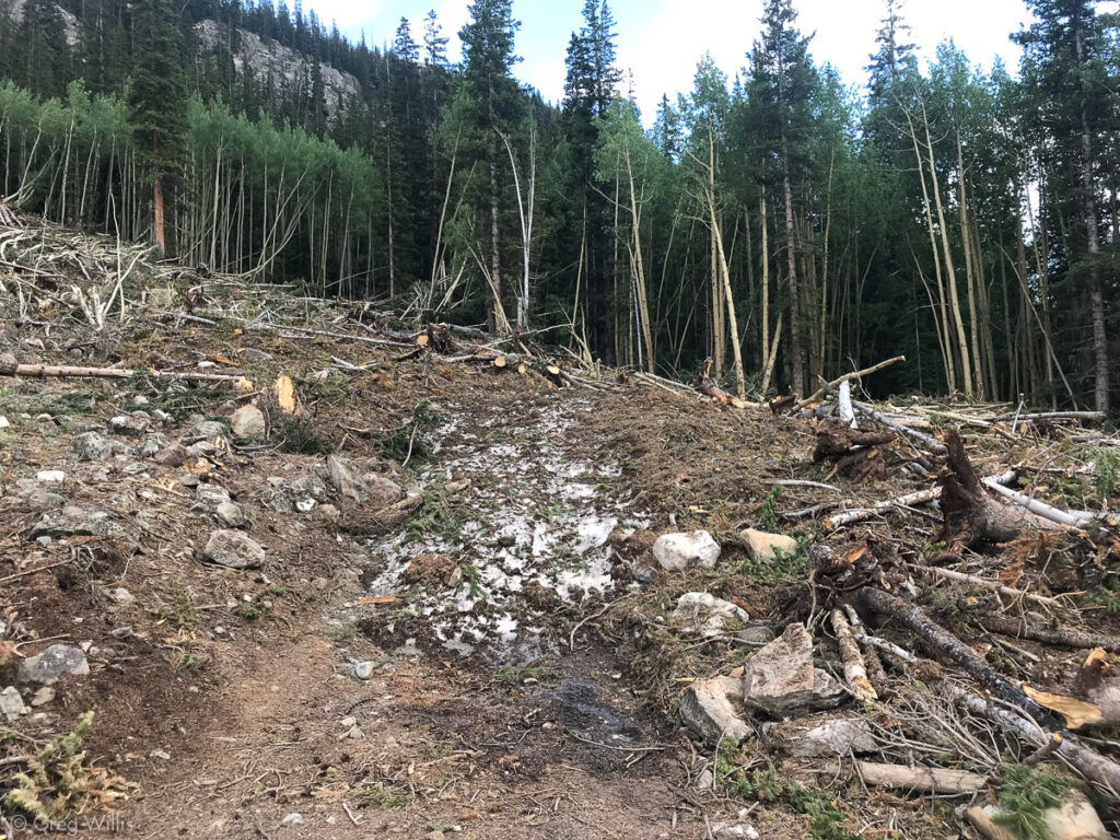
Clohesy Lake Road Avalanche Debris 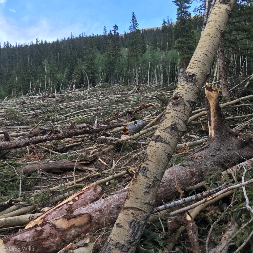
Clohesy Lake Road Avalanche Debris 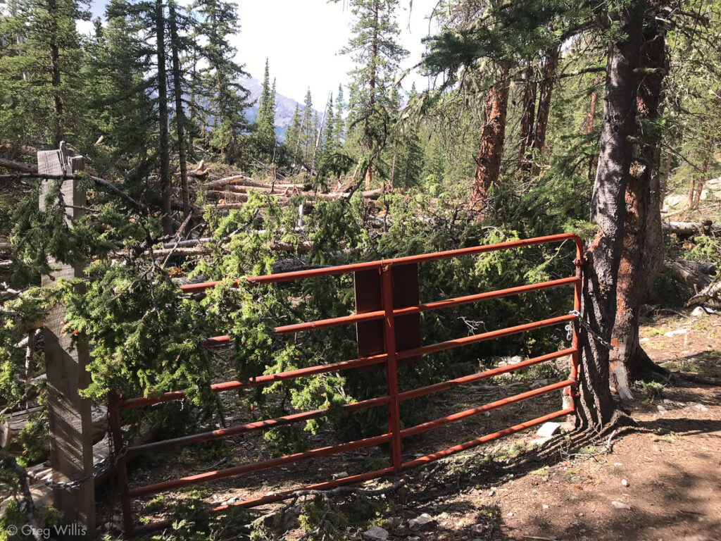
End Gate at Clohesy Lake Road
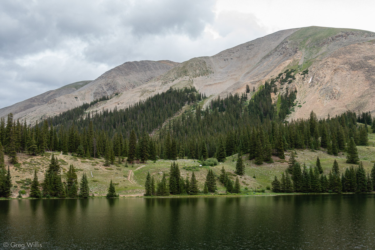
Clohesy Lake is about as charming a mountain lake I’ve seen in Colorado. The lake reflects Huron & North Apostle rise behind it to the west. I pitched my tent near the burned out foundations of a cabin. And nearby stood a doorless outhouse facing maybe the best view in the state.
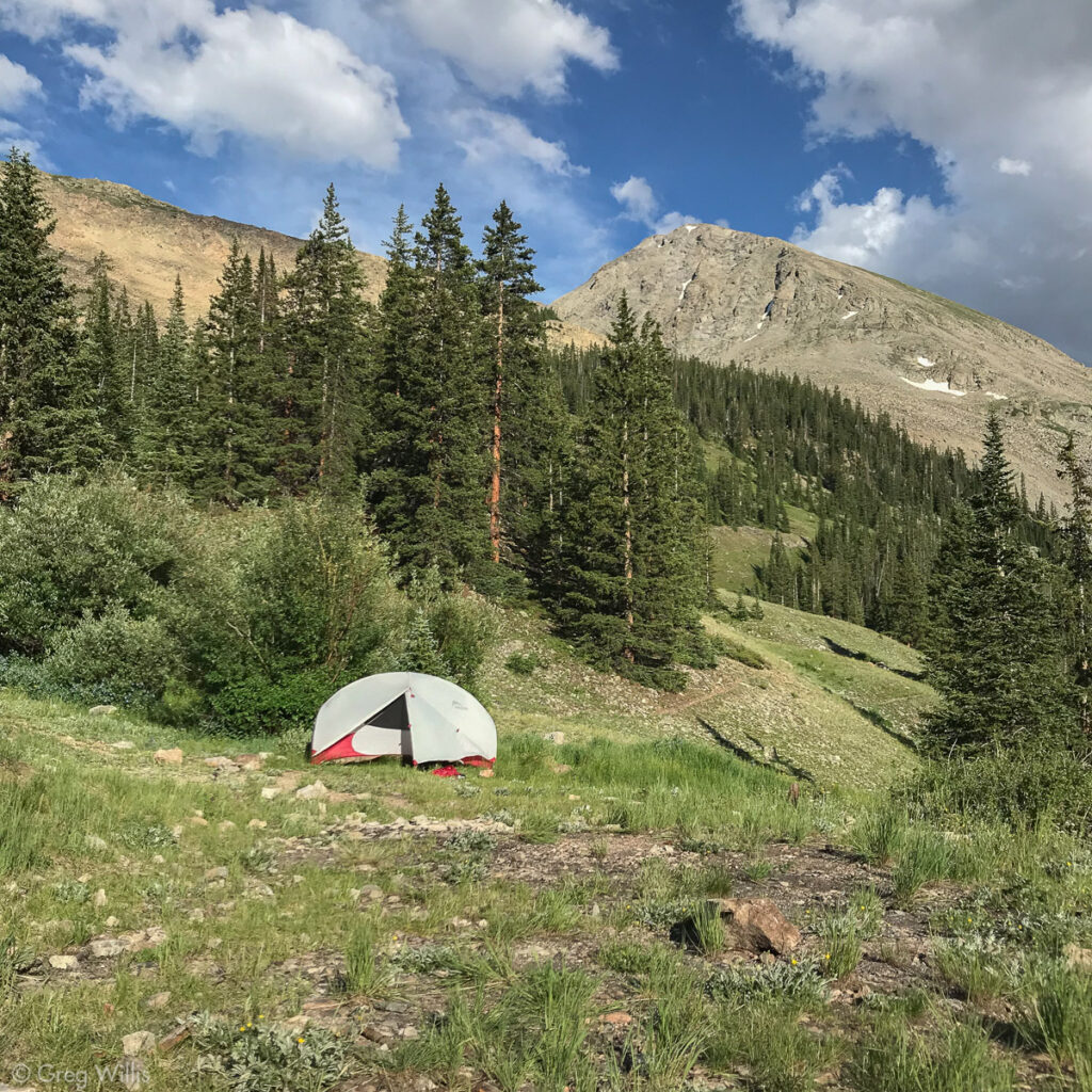
Clohesy Lake Campsite 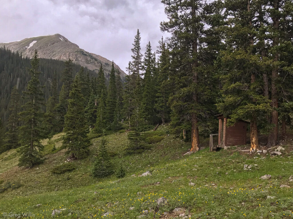
Outhouse 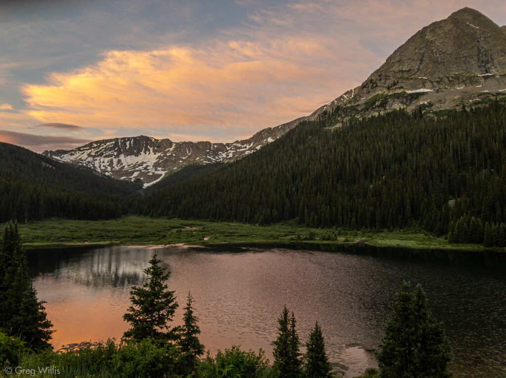
Clohesy Lake Sunset
Clohesy Lake from Rockdale TH
- When: 23 Jul 2019
- Distance: 3.4 mi
- Elevation: 1,000′
- Time: 2:00 hrs
Missouri Mountain
There’s nothing quite like being in a tent during a violent thunderstorm — the thin sheet of tent being the only protection from the driving rain and the frequent flashing. And the constant thunder bouncing and echoing off the surrounding mountains kept me from the cosy sleep I wanted. But by morning all was calm, if a bit damp. And in the post-storm stillness, I started up Missouri Mountain.
I dislike an out-and-back, so my Missouri climb would be a loop going up the west ridge, down to to the Missouri-Iowa saddle, then further down a scree slope, and eventually back to the lake (up 8, down 9V1 in Roach’s Fourteener book). The west ridge was a slog right into the sun, when it finally came over the mountain.
Missouri Mountain West Slopes 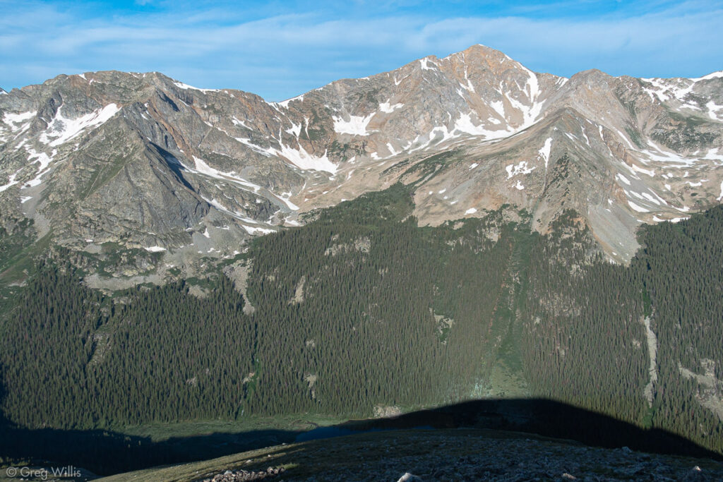
Huron Peak from Missouri Mtn West Slopes 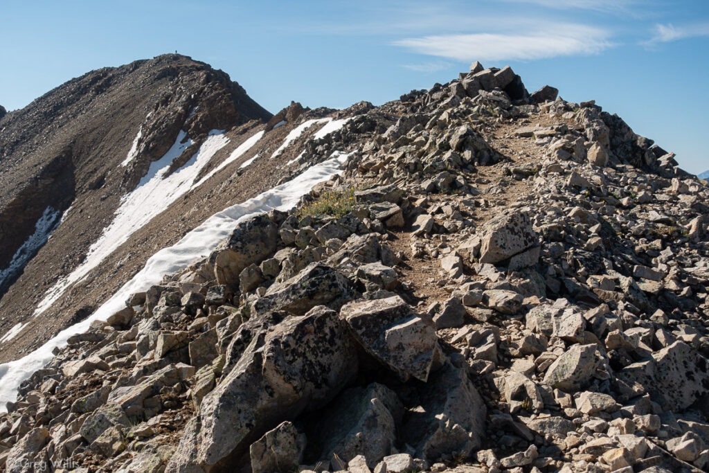
Missouri Mtn Final Route
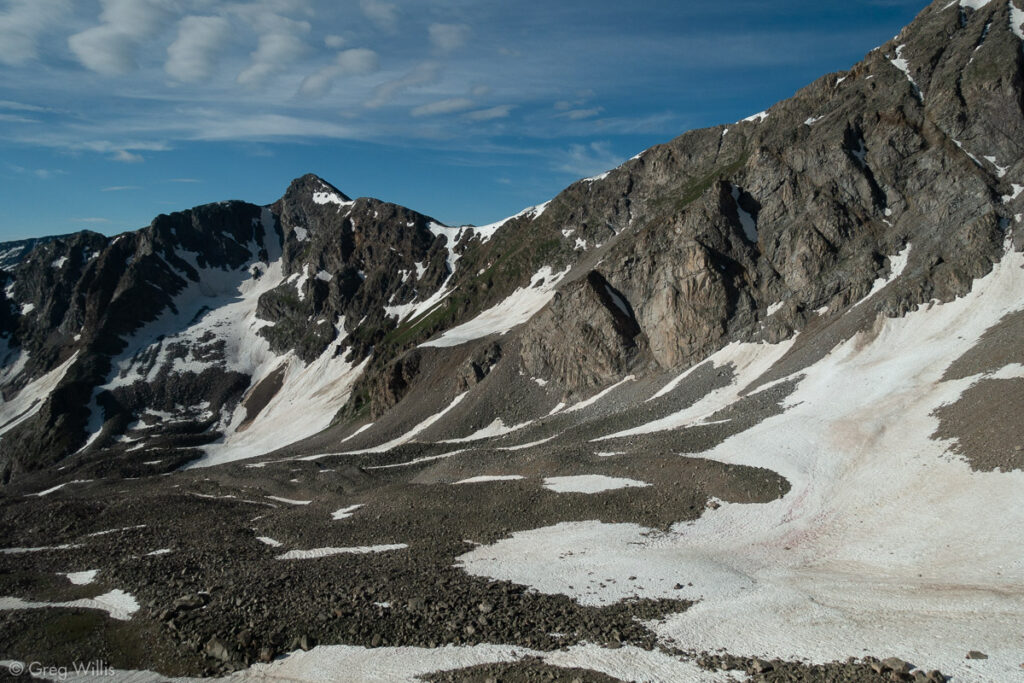
The trail eased up once I gained the NW ridge and the summit afforded me a great view of tomorrow’s challenge of Huron’s East side. The weather was cloudless and windless, so I stayed on top for a leisurely hour.
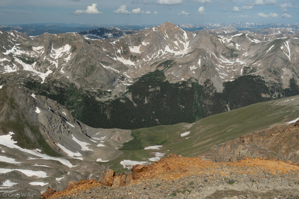
Huron from Missouri 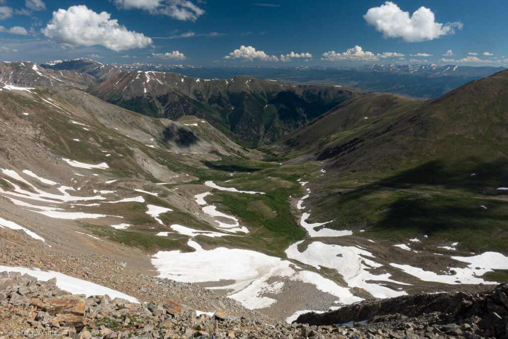
Missouri Gulch Basin 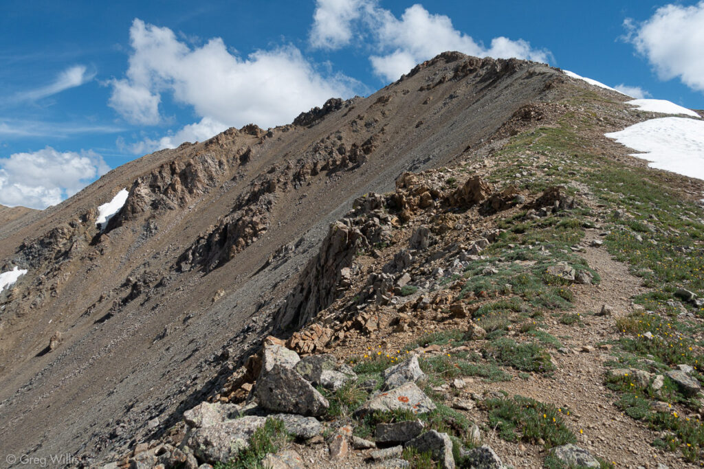
Missouri Mountain south of the summit
Eventually I packed up and headed down the south ridge from the peak. Although tempted to continue south and climb Iowa Peak, I told H that I was cutting west at the saddle so I stuck to the plan and headed down. The scree slope went slowly — sometimes surfing down when all the rocks moved, mosttimes picking my way through to avoid a rolled ankle. Since I’d only seen two folks at the summit and no one was on this side of the mountian, I didn’t worry too much about rockfall on my descent. It soon leveled out and made for a pleasant walk-out back to the lake. Another brisk day, clocking in at 6 hours total.
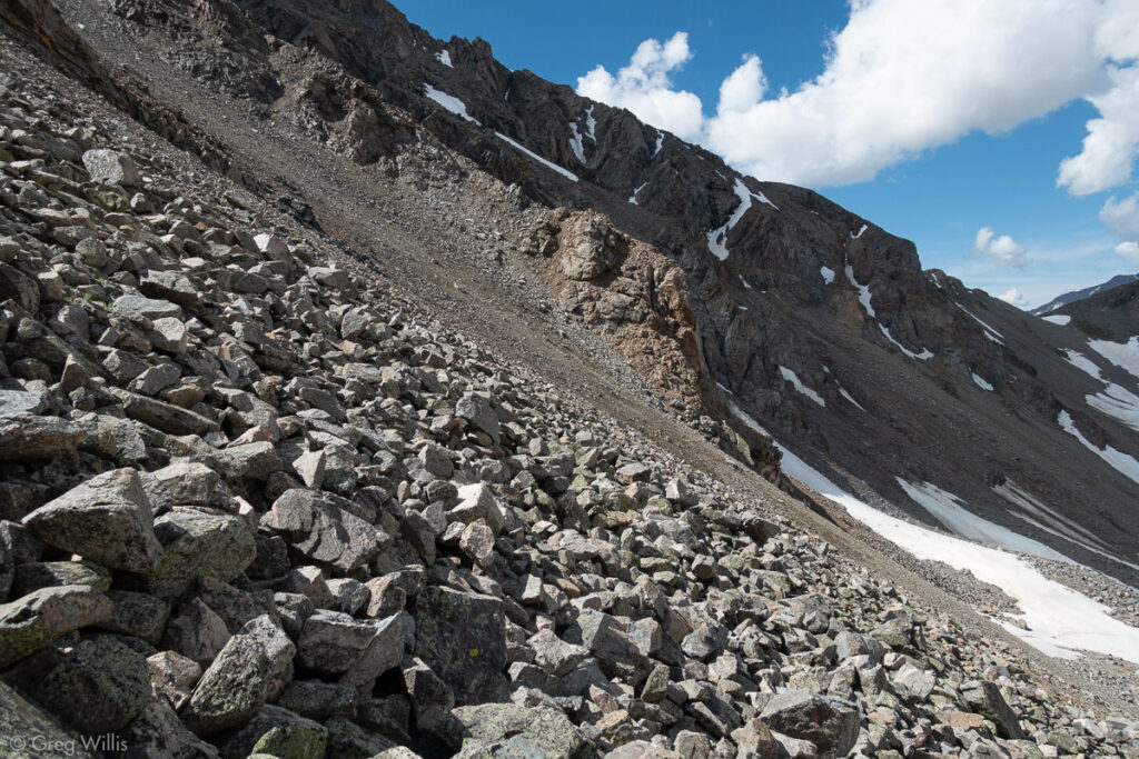
Scree Slope 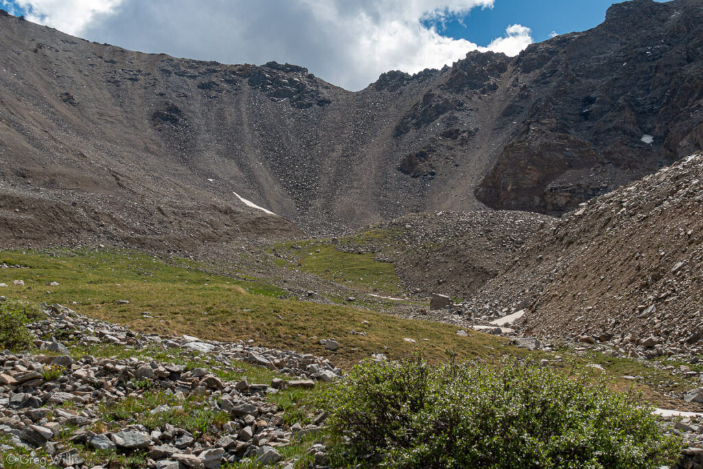
Missouri-Iowa Saddle & Scree Slope 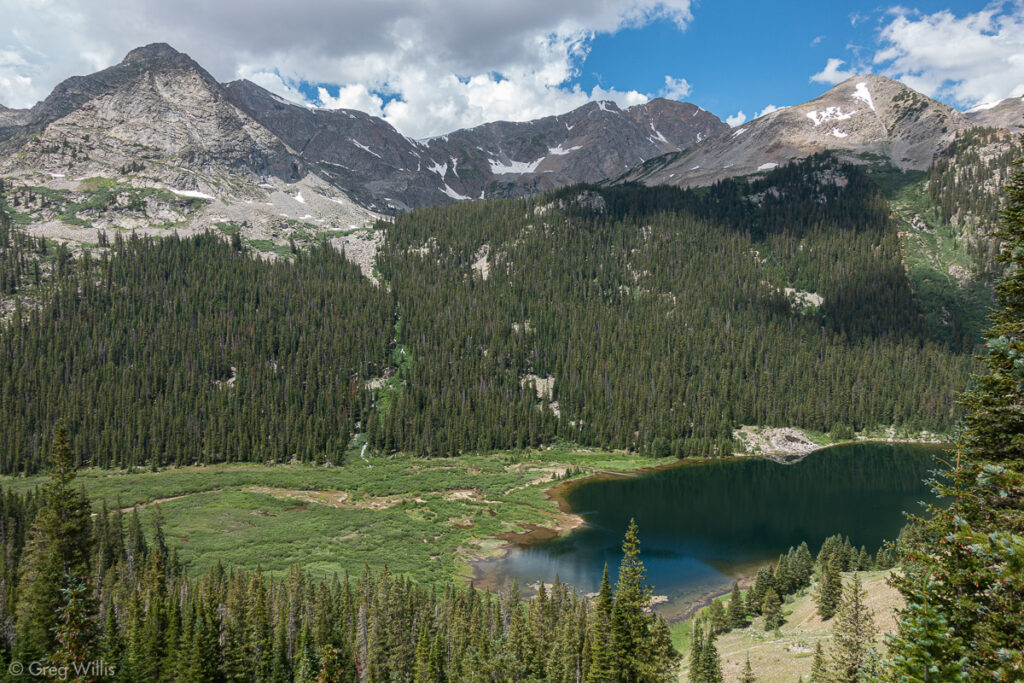
Above Chlohesy Lake, Huron on right
Missouri Mountain from Clohesy Lake
- When: 24 Jul 2019
- Distance: 4.9 mi RT
- Total Elevation: 3,410′
- Total Time: 6:00 hrs
- Colo 14er Rank: #36
Huron Peak – East Slopes
I didn’t want to get started too early for Huron, but I’d been inside my tent since late afternoon the previous day. The rain started around 17:00 and continued into the night. I killed the time as best I could – I cooked my pouch dinner in the tent vestibule & listened to music. Thankfully the skies were quiet that night.
I didn’t want to get started too early because the route was going to be obscure enough in the light, and by headlamp it’d be hopeless. The first day I’d talked to the one other person camping about routes up to Huron. He’d spent some time searching for the route in Roach’s Fourteener book (East Slopes 12R4) and couldn’t find it. When planning, I’d found a route on Open Street Map (labeled in OSM as Mt Huron Trail 1507) so I would follow that line on my GPS up the mountain.
I crossed the Lake Fork Creek right as it exits the lake. There’s nothing like a stream crossing first thing in the morning to getcha going — better than coffee. I put my boots back on and continued south along the lake shore. As I turned uphill to follow the GPS track, I lost the cairns. And although at first it seemed there was a path, it soon became clear that either it didn’t exist or I couldn’t find it. Since the overall point was to go up, I decided to just bushwhack uphill. Since the multitude of downed trees blocked any direct uphill progress, I picked my way up slowly.
Early Morning Stream Crossing 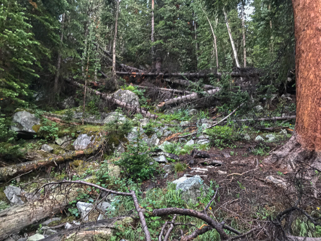
No Trail Here
As I got above treeline, I still couldn’t find the route. Although I was on the trail line on my GPS, it is incorrect. I didn’t see any markers or path. Between being on the trail in my GPS and being on a trail in my boots — I’ll pick the boots. But at least it was open now and I could see the landscape, I kept uphill.
It took me a couple of tries to gain the ridge. I’d thought that I could get up there & just run the ridge, but it was broken and steep. On the fourth climb up I finally found the section that lead up to the higher parts of the mountain.
View Toward the Apostles 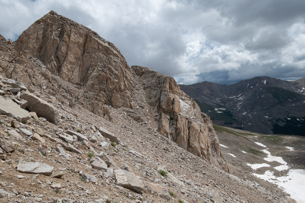
The Ridge I Tried to Ascend On
It was nice to finally see the clear path of where I was going and I soon found the main trail to Huron from the west. Finally on top, along with the summit scenery came the clouds and the weather was changing. With my bushwhacking and numerous ridge attempts I’d wasted a lot of time. The summit break was brief.
Missouri Mtn & Yesterday’s Route 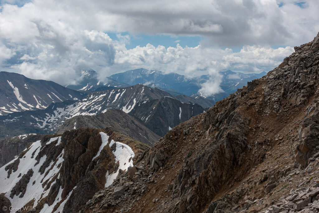
Weather Moving In 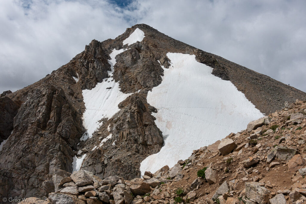
Huron Peak from Below 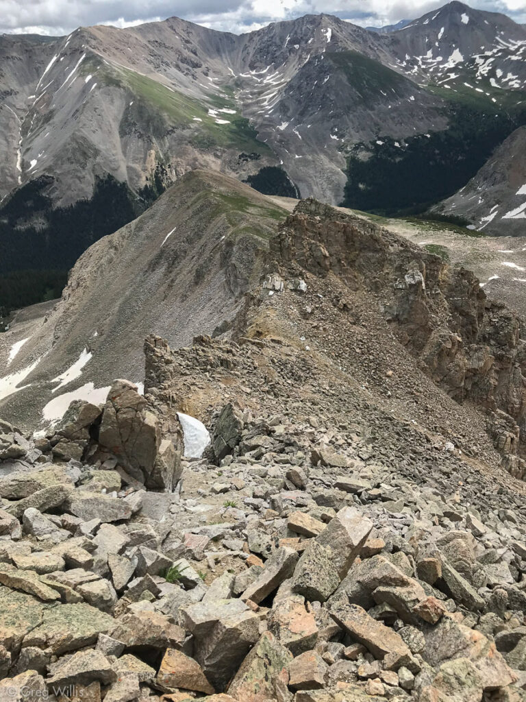
Heading Down from Pt 13,518 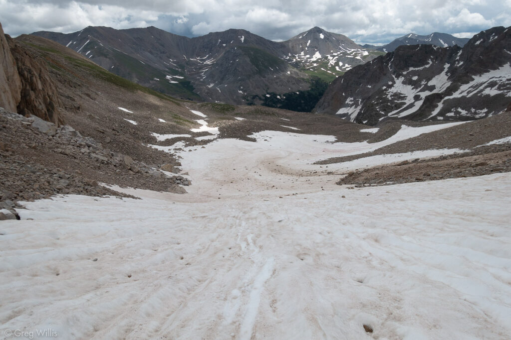
Easy Snowfield Exit
The good news was that I spotted a more direct route during my morning escapades. A snowfield led me to the cairned path, which happened to be south of the GPS track. Cairns are way easier to spot on the way down. I kept the path for the most part even once in treeline. The rain had started but I heard no thunder. It continued — constant but not heavy — as I recrossed the stream and got back to camp. As soon as I’d packed up my tent, the rain stopped.
The backpack out was uneventful — for me. A jeep on a day-trip to the lake had become stuck in the snow of an avalanche. They finally passed me right as I got to the ford. The backpack had been a good choice.
And overall, athough slowed on the last one, the one trip 3-pack had been a success. Camping at and climbing from Clohesy Lake was really special. I don’t know why it is not more widely done. And I was now in better condition to start climbing the harder Fourteeners.
Huron Peak East Slopes from Clohesy Lake
- When: 25 Jul 2019
- Distance: 5.8 mi RT
- Total Elevation: 4,018′
- Total Time: 8:00 hrs
- Colo 14er Rank: #52

1 Comment