
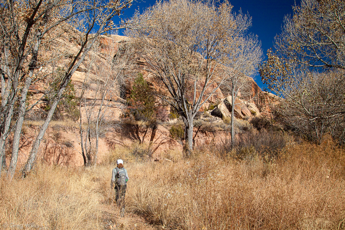
Last November we took a quick trip to Utah. One of the places we visited was The Needles district in Canyonlands NP. We done lots in Utah, but never managed to make it to The Needles. The days were short and the nights were chilly, but we had the park pretty much to ourselves. While there we did a bit of hiking. The trails in the western part of The Needles are highly interconnected, so one can cobble together a route to suit how long you want to hike. We’d done enough backpacking in the summer, so we did a couple of day hikes in The Needles
Big Spring Canyon – Squaw Canyon – Lost Canyon Loop
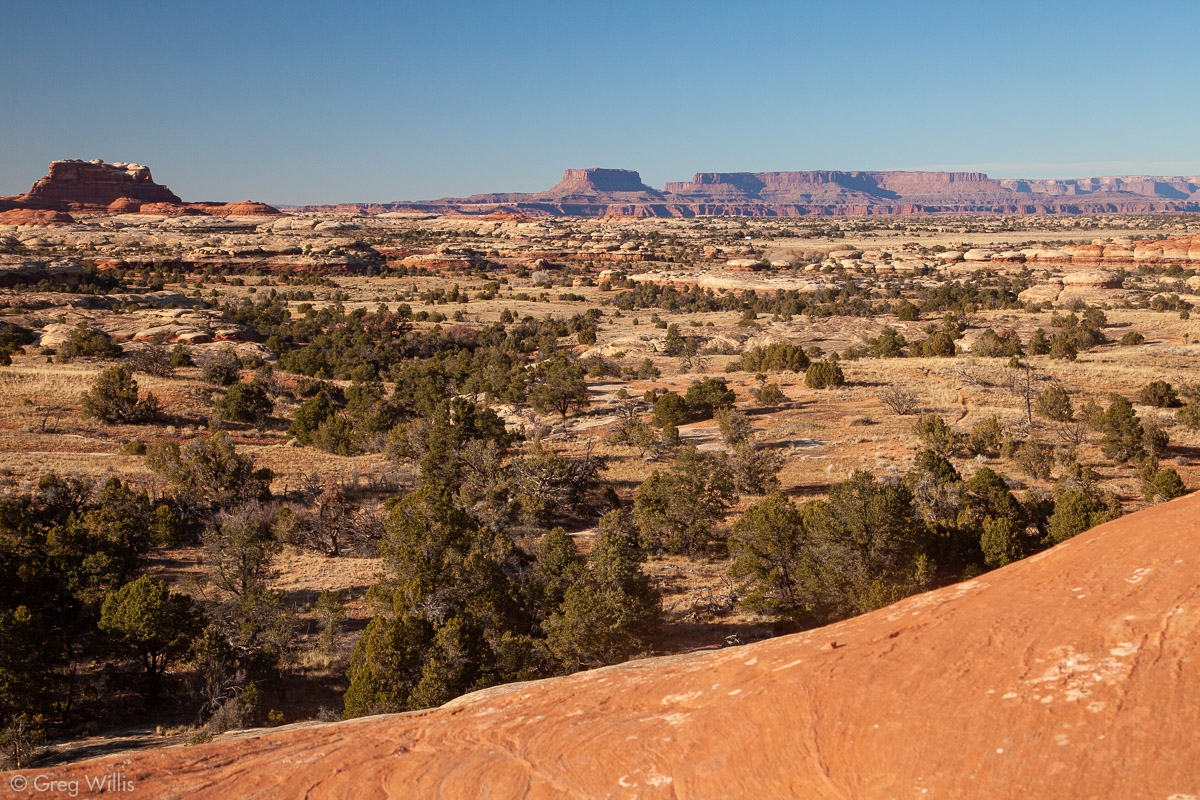
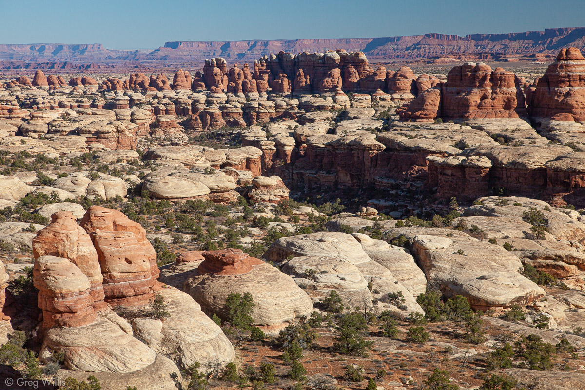
The first hike was a nice ‘canyon sampler.’ Starting and ending from our campsite, it took us in and out of three canyons. If the hike stays in just one canyon as an out-and-back, the trail doesn’t take you up. So it’s when you climb up & over to get into the next canyon that you find wonderful views not only of the canyons themselves, but of the surrounding landscape. Other than the canyon rim views, this hike has no big payoffs — arch or natural bridge. But it’s a good day out in the canyons with challenging but not too challenging trails and interesting rock.

Lost Canyon Ladder 
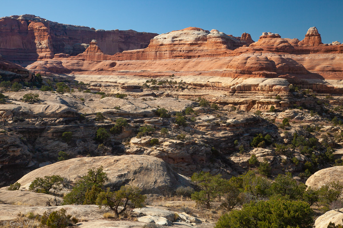
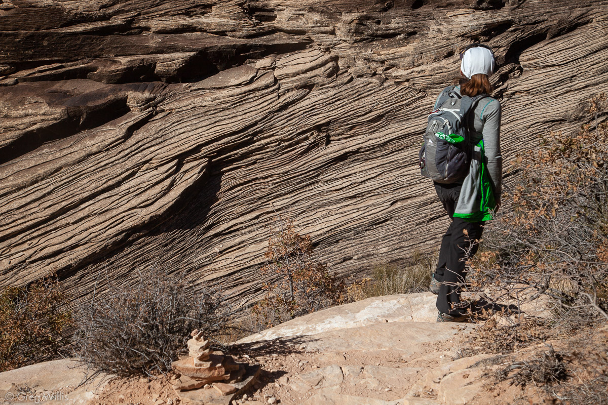
Big Spring Canyon 
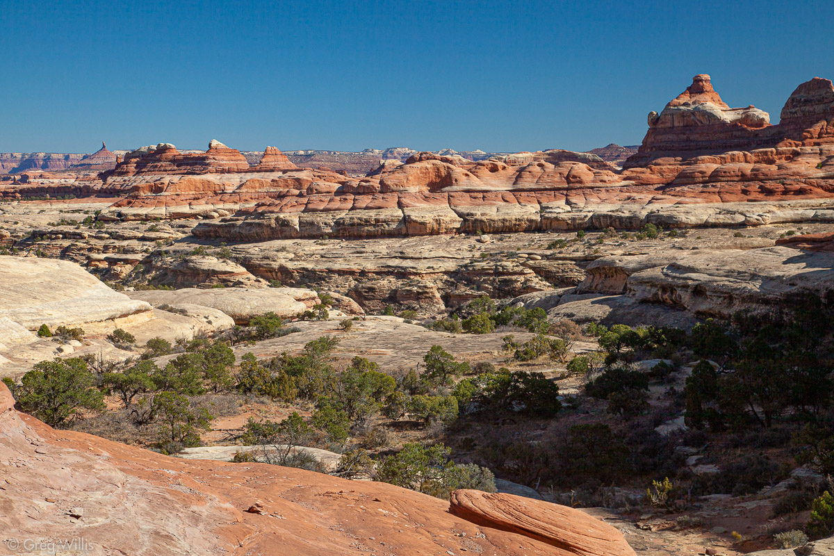
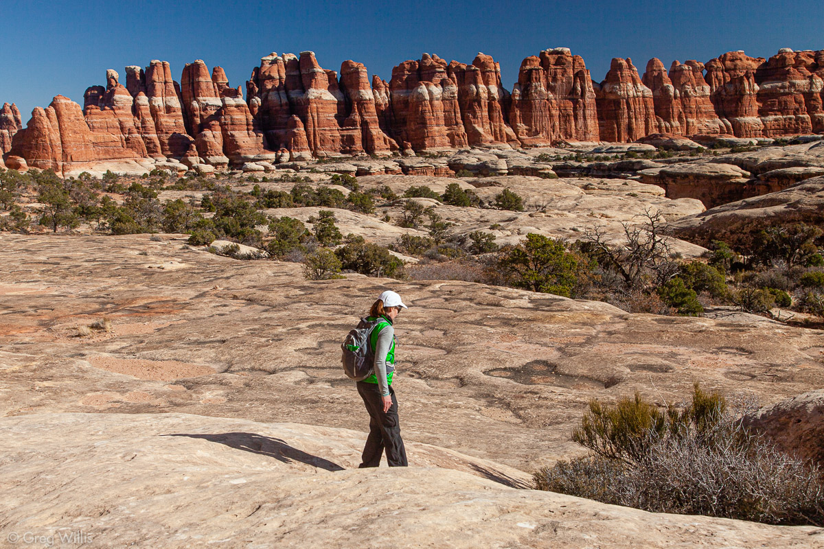
Ridge between Big Spring and Squaw Canyon 
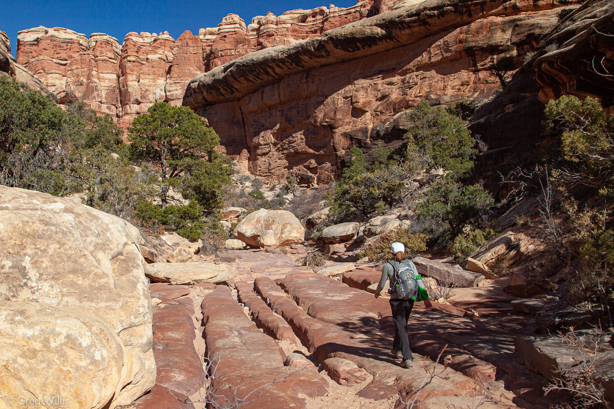
Descending into Lost Canyon 
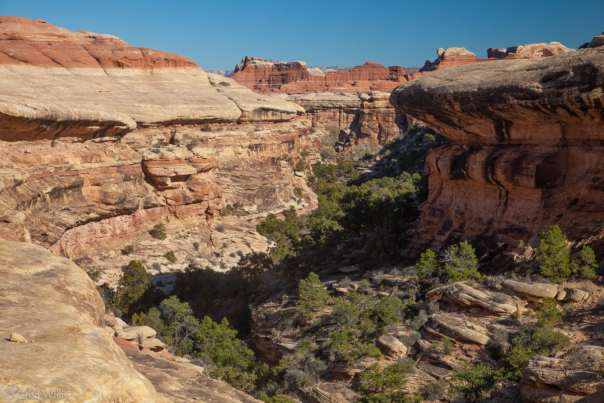
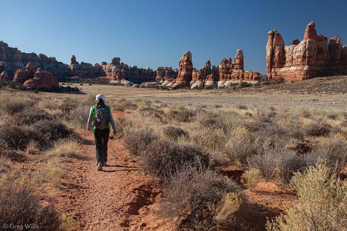
Lost Canyon 
Climbing Out of Lost Canyon 
Island in the Sky in the Distance


- Date: Thurs 7 Nov 2019
- Elevation Gain/Loss: 1,400 ft / 427 m
- Distance: Distance 9.5 mi / 15.3 km
- Time: 5:30
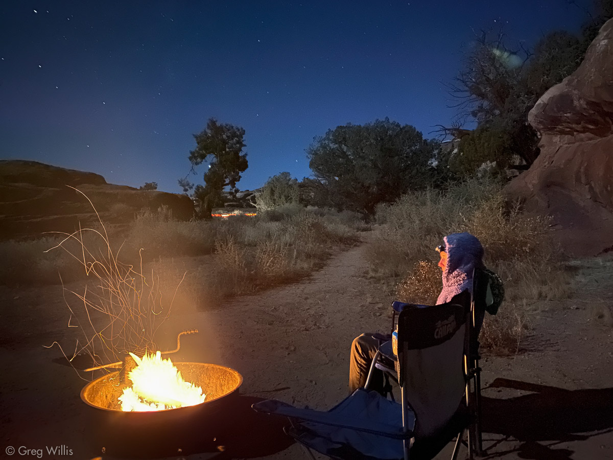
That night we enjoyed a campfire before heading into the warmth of our sleeping bags.
Druid Arch via Chesler Park
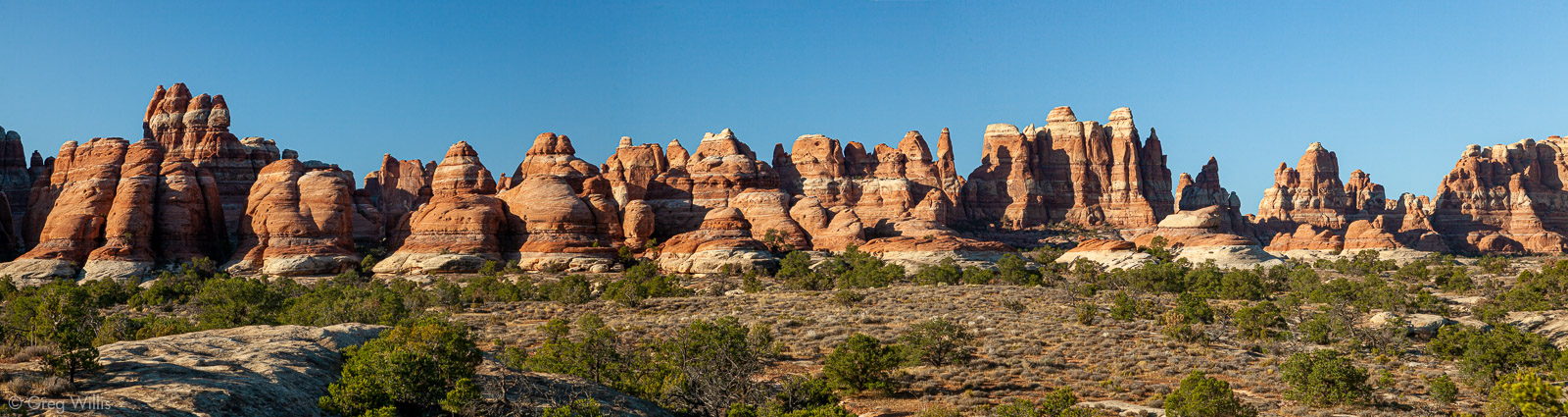
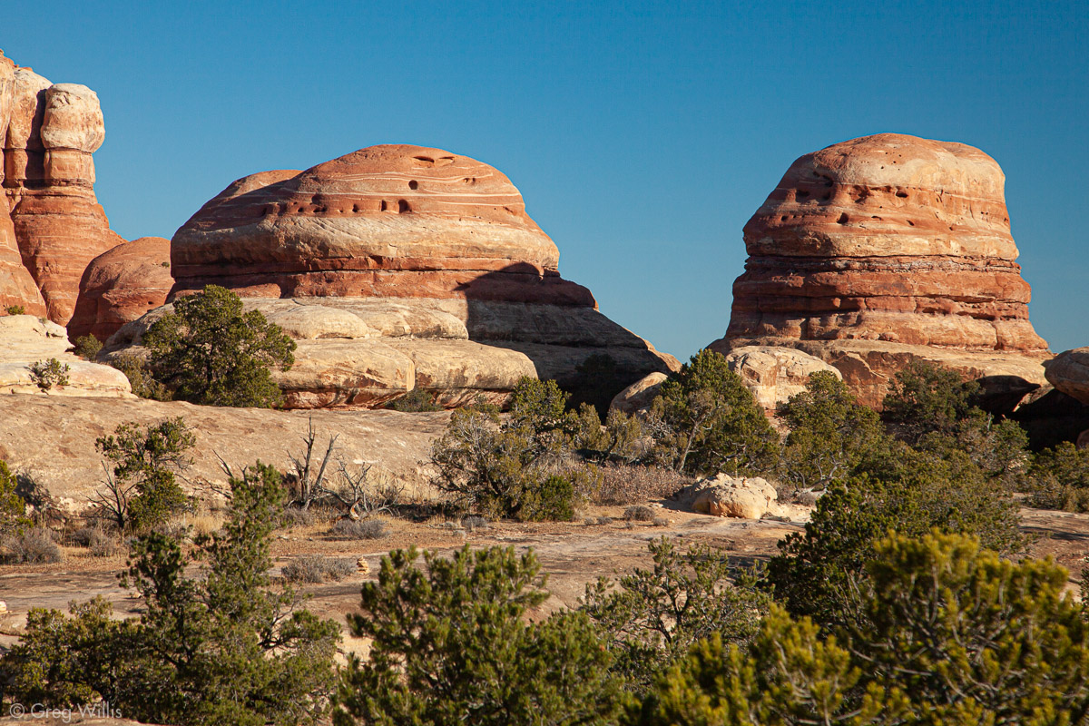
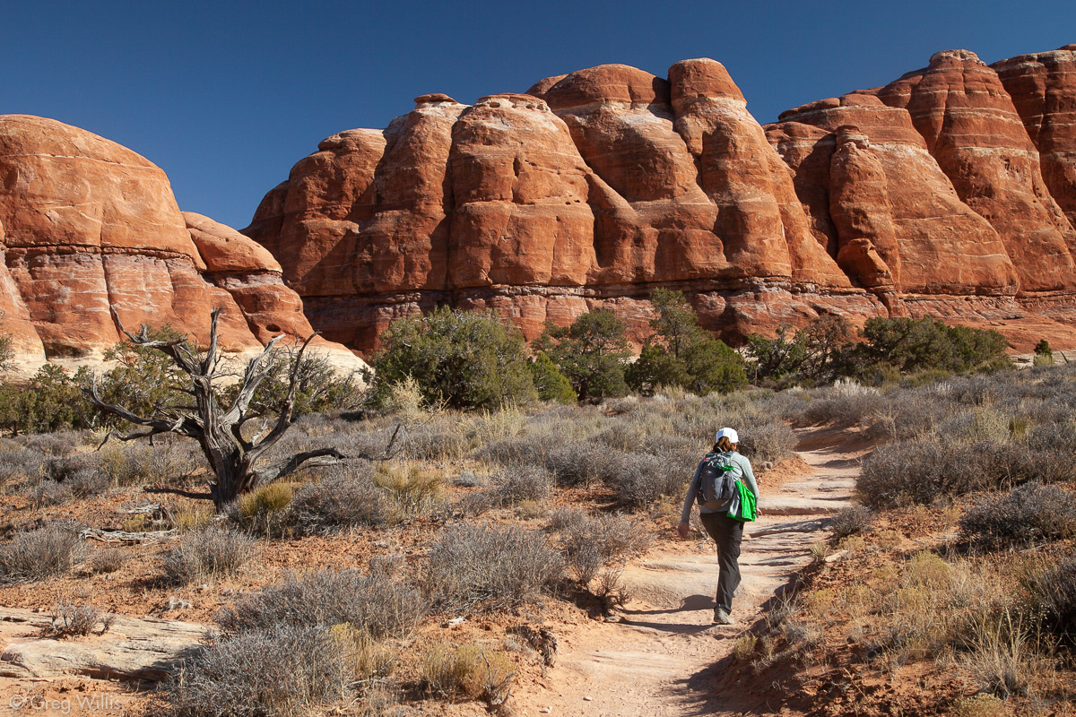
From the Elephant Hill trailhead, we started our second hike the next morning going overland before dropping into Elephant Canyon. Although the trail to Druid Arch continues along that canyon, we immediately climbed out to detour into Chesler Park. Chesler Park is an open area surrounded by the Needle rock forms. It’s also higher up, so you get panoramic views of the surrounding park & beyond. For me, this was the highlight of the day.

Mmmm, burgers 
View North from Chesler Park 
Chesler Park 
Into Elephant Canyon
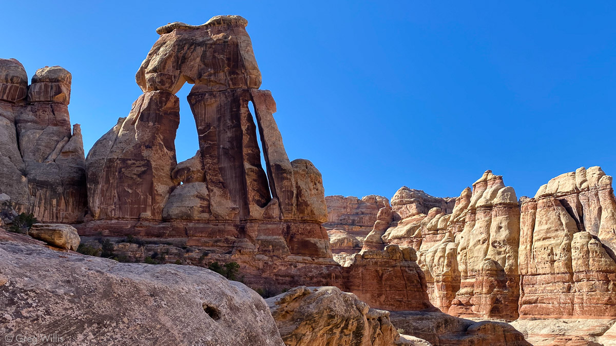
Next we dropped back into the canyon and headed to Druid Arch. It’s huge and looks like Stonehenge, hence the Druid name. Arrive early for the best light — our Chesler Park visit mean that the sun had left the best side by the time we arrived. It was still very impressive.
We took Elephant Canyon back, finally seeing more folks near the trailhead. Before that, with the exception of a couple of backpackers in Chesler Park, our day had been spent alone.

Sandstone Layers 
Elephant Canyon 
Out of Elephant Canyon
Although Druid Arch is the big draw in this side of the park, but I think I liked Chesler Park a bit better. And definitely without the detour through Chesler Park, this hike wouldn’t’ve been nearly as good.
Overall, The Needles impressed me with its ‘choose you own adventure’ quality of linking up the trails to get what you want. Whether you want to backpack for days or just looking for day hikes in The Needles, it’s a great hiking destination.
- Date: Fri 8 Nov 2019
- Elevation Gain/Loss: 2,200 ft / 671 m
- Distance: Distance 11.0 mi / 17.7 km RT
- Time: 6:15


Leave a Reply