Table of contents
- Details
- Map & Route
- Road Guide
- Cedar Wash Road 4WD (#210)
- Big Horn Canyon and West Fork slots
- Halfway Hollow
- Road #220
- Devils Garden
- Left Hand Collet Canyon (#230)
- Twentymile Dinosaur Trackway
- Road #240
- Road #250
- Road #251
- Road #252
- Road #254
- Road #255
- Hurricane Wash
- Willow Tank Slide 4WD road [R]
- Fortymile Ridge Road (#270)
- Dance Hall Rock [L]
- Sooner Wash TH
Details
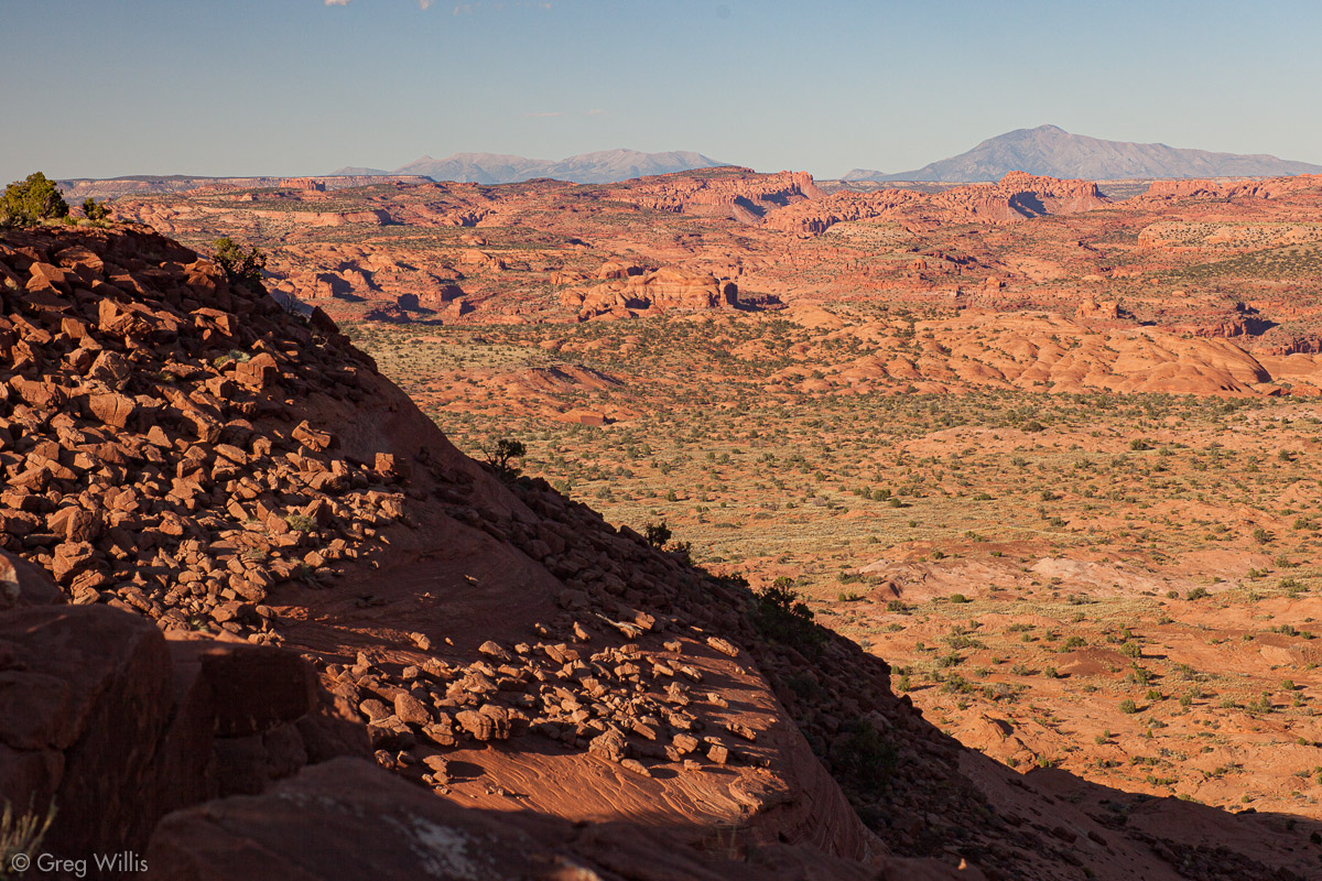
between the Straight Cliffs of Fiftymile Mountain and the curling canyons of the Escalante runs Hole-in-the-Rock Road
Grand Staircase–Escalante National Monument (GSENM)
the further the rougher
After Dance Hall things thin out
Although the scenery can be beautiful, do not mistake this for a scenic drive. Hole-in-the-Rock Road is all about the destination, NOT about the journey. The journey will suck. But it’ll get you to fantastical places — the kind you thought only existed in movie CGI. And it’ll get you to activities you never thought you could attempt.
This is an access road that gets you to the places to do things.
If you’re going to do serious things down Hole-in-the-Rock Road — things like backpacking & slot canyons — then I recommend getting the following reference material:
The book, Non-Technical Canyon Hiking Guide to the Colorado Plateau, 7th Edition, has its quirks: the layout absolutely sucks and it sorely misses an index. But you’ll not find better information about hiking and light canyoneering in Utah in general and Hole-in-the-Rock Road in particular.. And Canyons of the Escalante (NG Trails Illustrated Map, 710) is a great resource for the area, although you should use 1:24,000 topo maps — like those at CalTopo — for the actual hiking.
Map & Route
Road Guide
distance is approximate. the numbers by the roads are the Bureau of Land Management (BLM) road numbers
Cedar Wash Road 4WD (#210)
This road (to the west) leads to both Cedar Wash Arch & Covered Wagon Natural Bridge, each a short & easy hike.
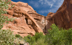
Big Horn Canyon and West Fork slots
To the east, this short road goes to the Big Horn Canyon trailhead, for access to Big Horn Canyon and West Fork slot canyons.
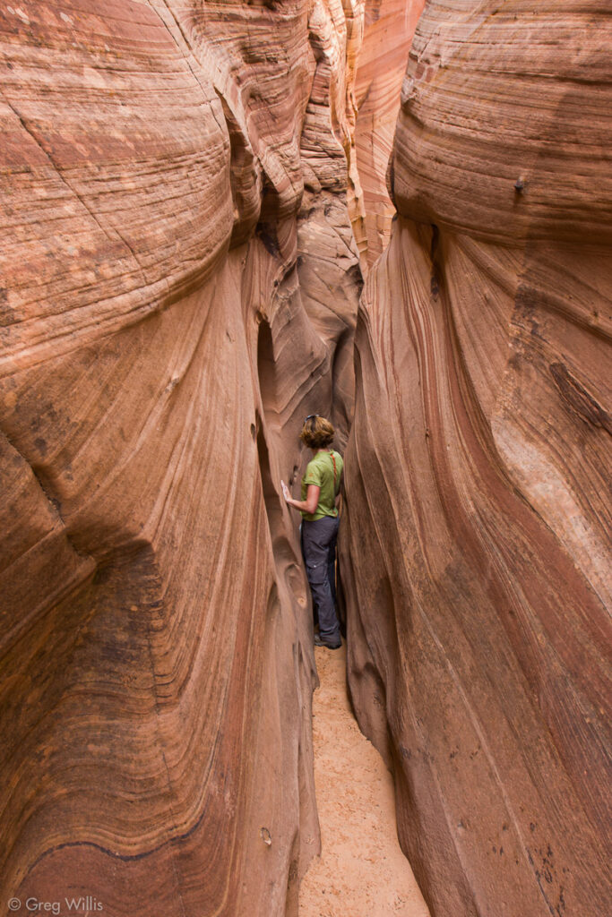
Halfway Hollow
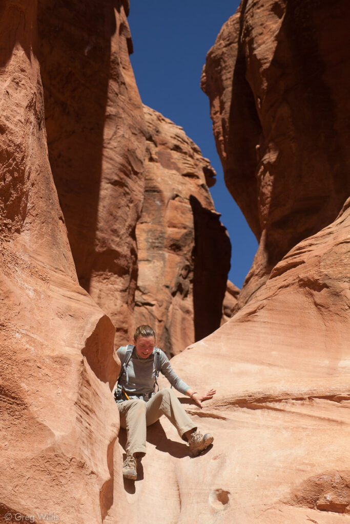
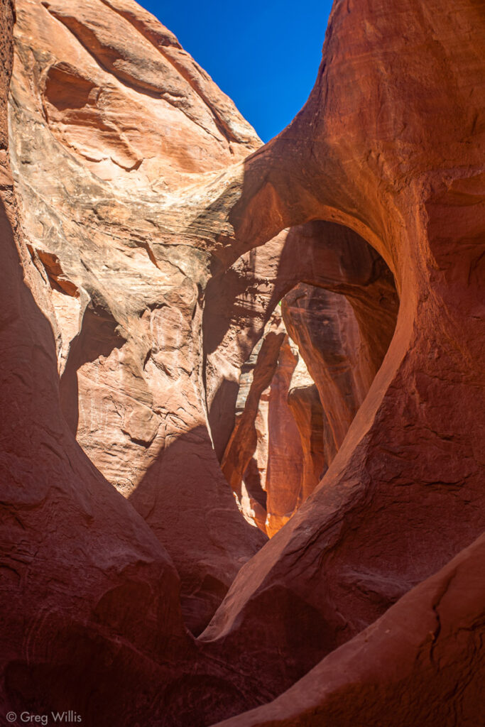
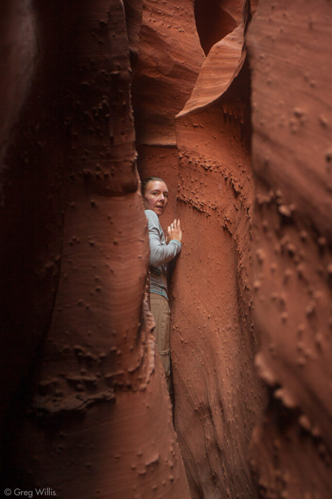
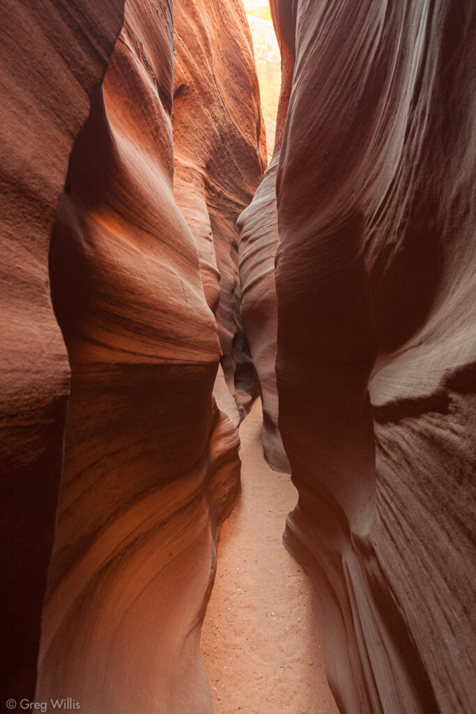
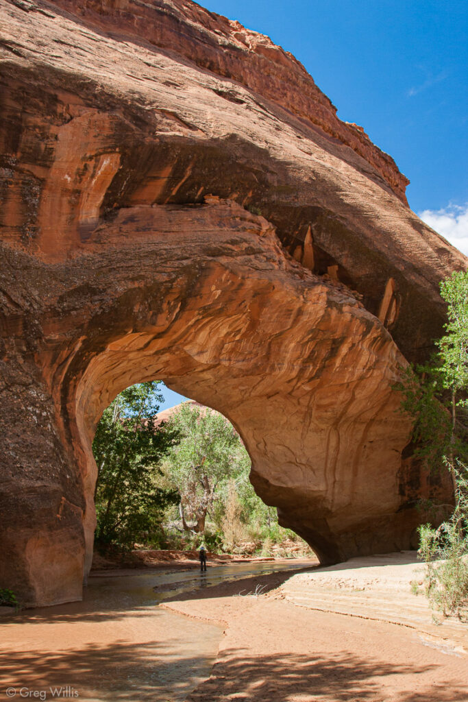
A pull-off on the west side of the road provides parking for Zebra & Tunnel slot canyons. The trail heads off to the east. Here’s my Zebra Slot Canyon Guide.
Zebra Slot Canyon with H
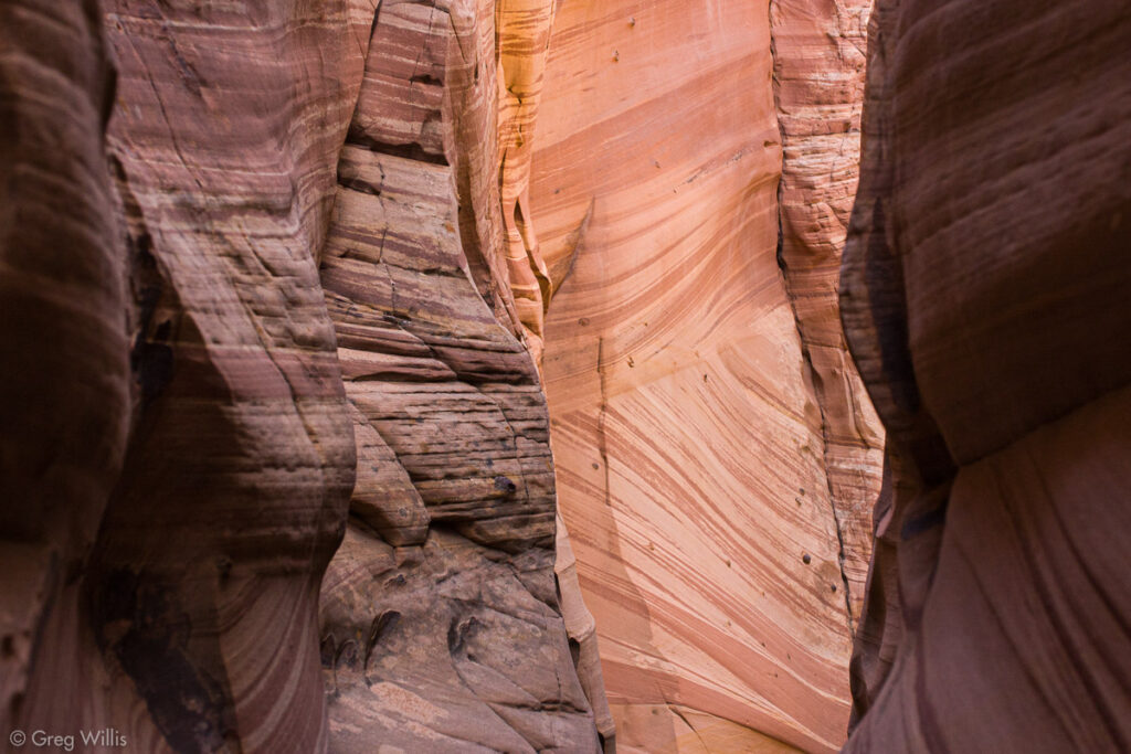
Zebra Slot
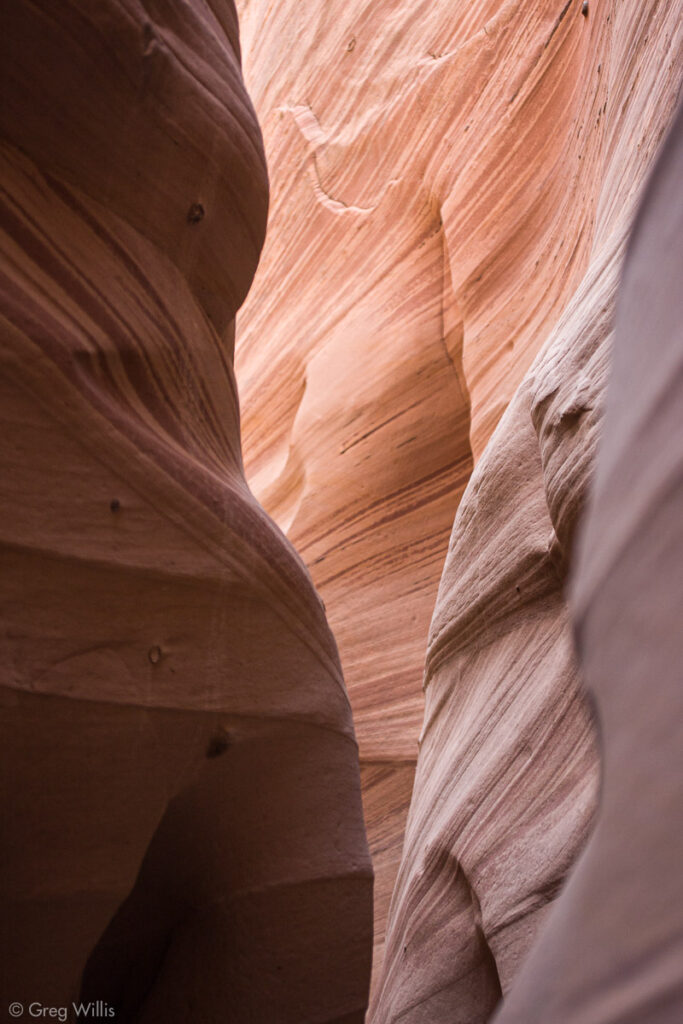
Zebra Slot Canyon Textures
Road #220
This road to the east leads to a trailhead for Harris Wash. It also leads to an overlook for the Red Breaks with a nice camping spot.
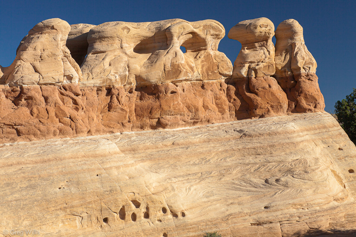
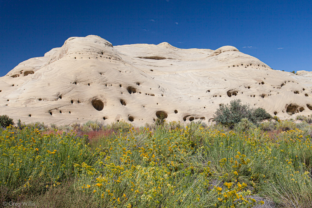
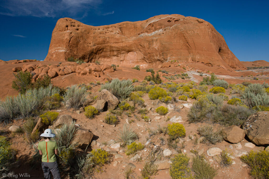
Devils Garden
Ironically, I like to think of Devils Garden as a pleasant little oasis along Hole-in-the-Rock Road. Whereas so much of the land around the road is bare wilderness that takes hours or days to explore, Devils Garden seems small and civilized. You can take in the rock formations — hoodoos along with a couple of arches — in an hour or so. Then you can have lunch in one of four picnic areas with tables, fire pits, & grills. All the while, you have access to the pit toilets. Perfectly civilized!
Even before the GSENM, the BLM designated Devils Garden as an Outstanding Natural Area. It really is a cool place to poke around, no matter how epic your other adventures have been. The Straight Cliffs overlook the very photogenic Metate Arch. And Mano Arch stands nearby.
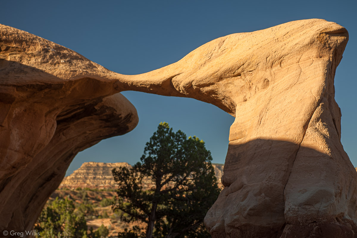
Metate Arch
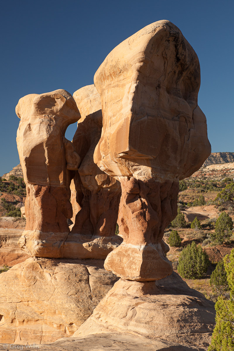
Hoodoo
Hoodoos
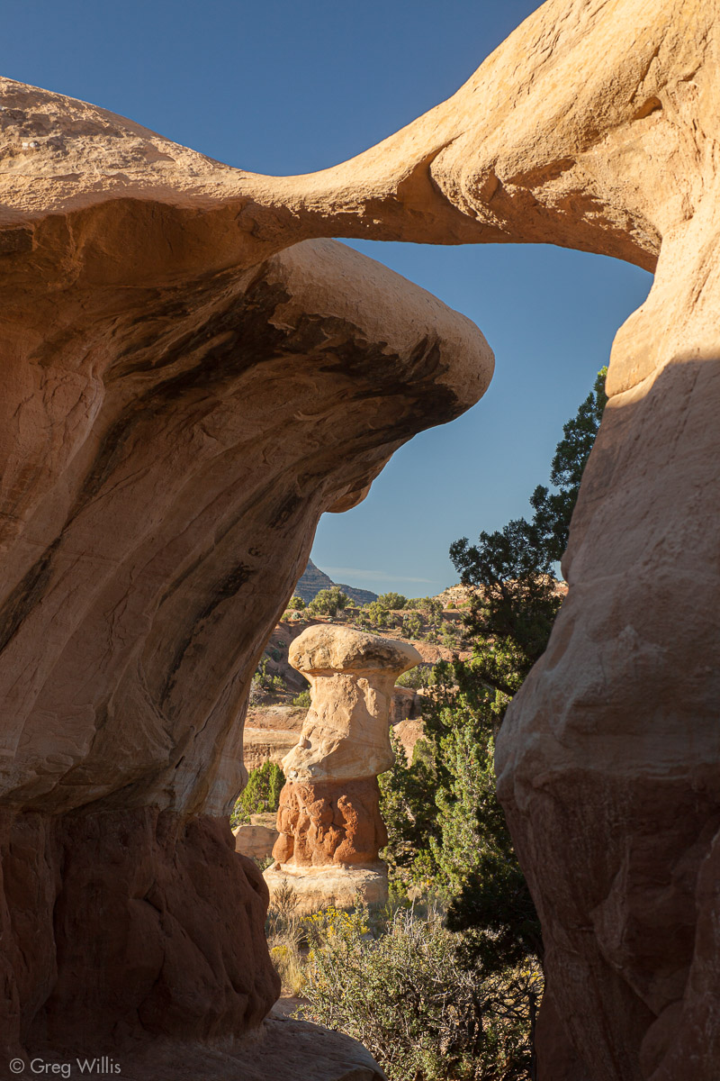
Metate Arch with Hoodoo
Left Hand Collet Canyon (#230)
Left Hand Collet Canyon is the gateway to the Kaiparowits Plateau section of GSENM. It’s how you get to the other side of the Straight Cliffs. You can take this road and connect with the 4WD-required Smoky Mountain Road that will take you either back to the town of Escalante or further into the monument through the Burning Hills. You might think that “Smoky Mountain” and “Burning Hills” refer to legends or metaphors — but no. Coal seams are burning just below the ground in this section of the monument. If you drive through, you’ll smell them.
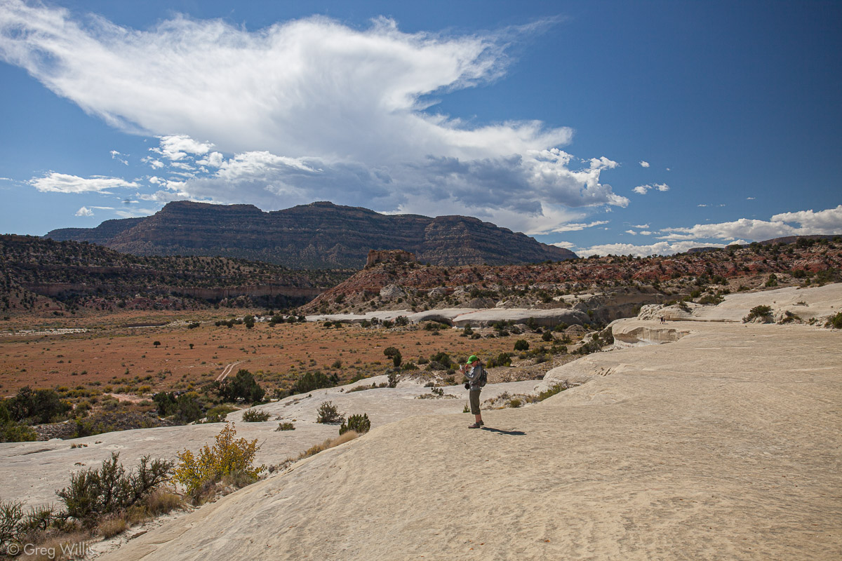
Twentymile Dinosaur Trackway
If you don’t want to journey that far, the Twentymile Dinosaur Trackway is only a short drive from the main road. From Hole-in-the-Rock Road turn west onto Left Hand Collet and drive for 2.4 mi / 3.9 km. Then turn right (north) and the trailhead is in 0.3 mi / 0.5 km. (View in Google Maps)
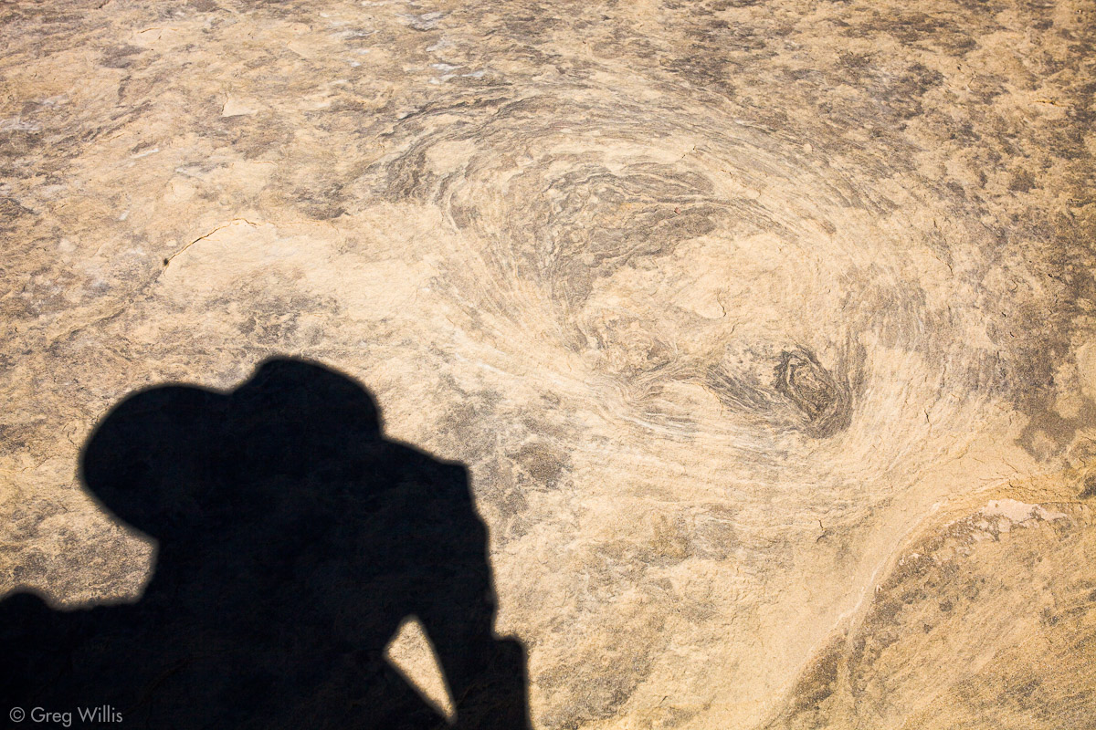
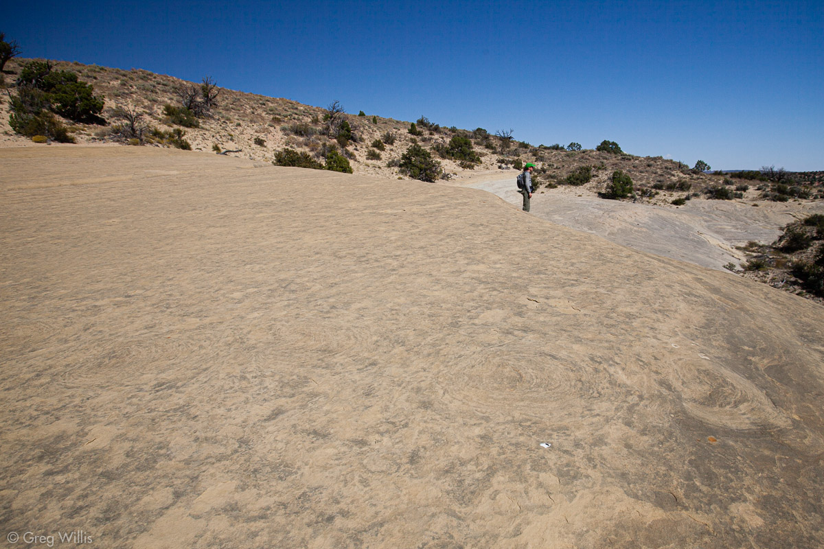
160 million years ago (± a few million) dinosaurs walked on sand dunes & tidal flats near an inland sea. You can see these tracks, made by sauropods & theropods, with just a short hike.
Below there’s a map and a gpx file to help guide you. Once you get up on the upper bench of sandstone you’ll find the sauropod footprints before the trees & soil starts. They are ever so subtle, so you’ll have to pay close attention. And as you can see, they don’t photograph particularly well. Look for concentric rings in the sandstone.
You can find more information about the Twentymile dinosaur trackway here.
You can use the above file in Google Maps, CalTopo, Gaia GPS, BackCountry Navigator, Garmin GPS devices, or a number of other apps for offline use.
Near Twentymile Dinosaur Trackway Trailhead
Sauropod Print
Faint Tracks in Foreground
Twentymile Dinosaur Trackway
Road #240
This road to the west leads you to Egypt TH. From here you can get to all manner of slot canyons — Egypt Slots & Twentyfive Mile, Fence, Ringtail, Neon, & Choprock Canyons as well as Golden Cathedral.

Slot Canyon Info
For all the quiet beauty you can find in slot canyons, these things can be serious business. So there’s a few things you should know before entering.
Flash Flood Danger. People die in slot canyons. If a storm drops rain — maybe miles away — and it goes through the slot, do not count on surviving. These canyons are very, very narrow and it doesn’t take a lot of flash flood water to fill them up. So before going, check the forecast. Before entering, check the sky. And go in the spring or fall when the chance of storms are lower.
Wayfinding. Once you’re in the slot, there’s not many choices. But on the hike to get there you can get lost. It’s easy to get turned-around in canyon country because the landscape inside canyons can look all the same. Bring a map and a navigation device or app.
Cold Water, Deep Water. Any slot can have standing water in it, and that water will be cold. So be prepared to take off your boots. Maybe bring neoprene socks. The water in the easier slots probably won’t be very deep, but always go slowly and feel your way through.
Bring Water. You don’t want to have to drink that old, nasty slot canyon water if something goes wrong. And Utah’s probably drier than you expect. Always bring along water. And not one of those half-liter bottles, make it at least one or two full liters for a half day and four liters for a full day.
Free Gear? No, that hiking equipment at the start of the slot canyon means that someone’s already there. It’s a tight fit in there and no room to pass. You probably don’t know them, so just hang back and give them their space until they’re out.
Road #250
This west road goes to Early Weed Bench TH. Here you’ll have views of Twentyfive Mile & Escalante canyons, as well as a trailhead to various canyon adventures.
Road #251
The road east directly across from the road to Peek-a-boo & Spooky leads to Batty Pass Caves. These caves are not naturally occurring, rather they were excavated by brothers Bill and Cliff Lichtenhahn in the 1950s and 60s. Two of the caves they used as workshops to create objects from petrified wood, jasper, and other rocks. The third cave is their living quarters. 2.4 mi / 3.9 km from the main road to the caves.
Road #252
This west road goes to to Dry Fork TH. Here you’ll find Peek-a-boo, Spooky, & Brimstone slot canyons. Brimstone can be technical, so beware. But Peek-a-boo and Spooky are a delight, even for a novice slot canyoneer.
If you’re interested, here’s my Guide to Spooky and Peek-a-Book Slot Canyons.
Arches in Peek-a-Boo Slot
Narrow Spot in Spooky Slot
Road #254
Red Well TH – Coyote Gulch Backpacking [L]
Road #255
goes to chimney rock [L]
Hurricane Wash
(TH for Coyote Gulch Backpacking) []
Willow Tank Slide 4WD road [R]
Fortymile Ridge Road (#270)
Coyote Gulch Day Trip THs, Sunset Arch hike [L]
camping
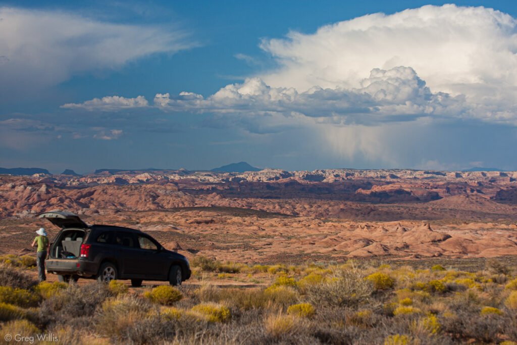
Campsite on Fortymile Ridge Road
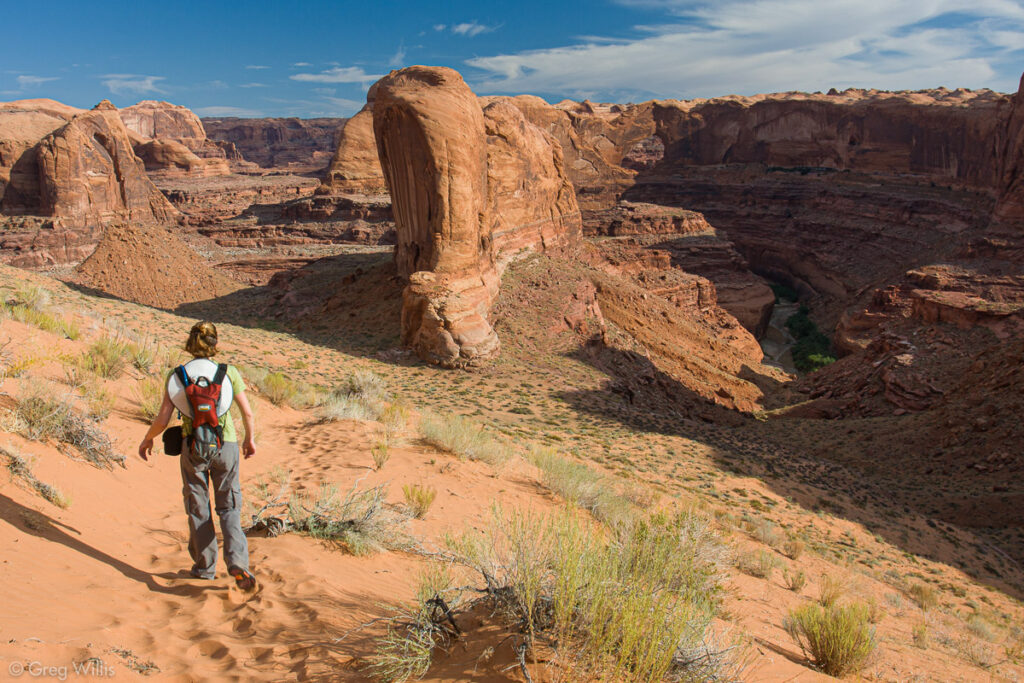
Descent to Coyote Gulch
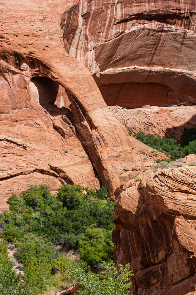
Cliff Arch, Coyote Gulch
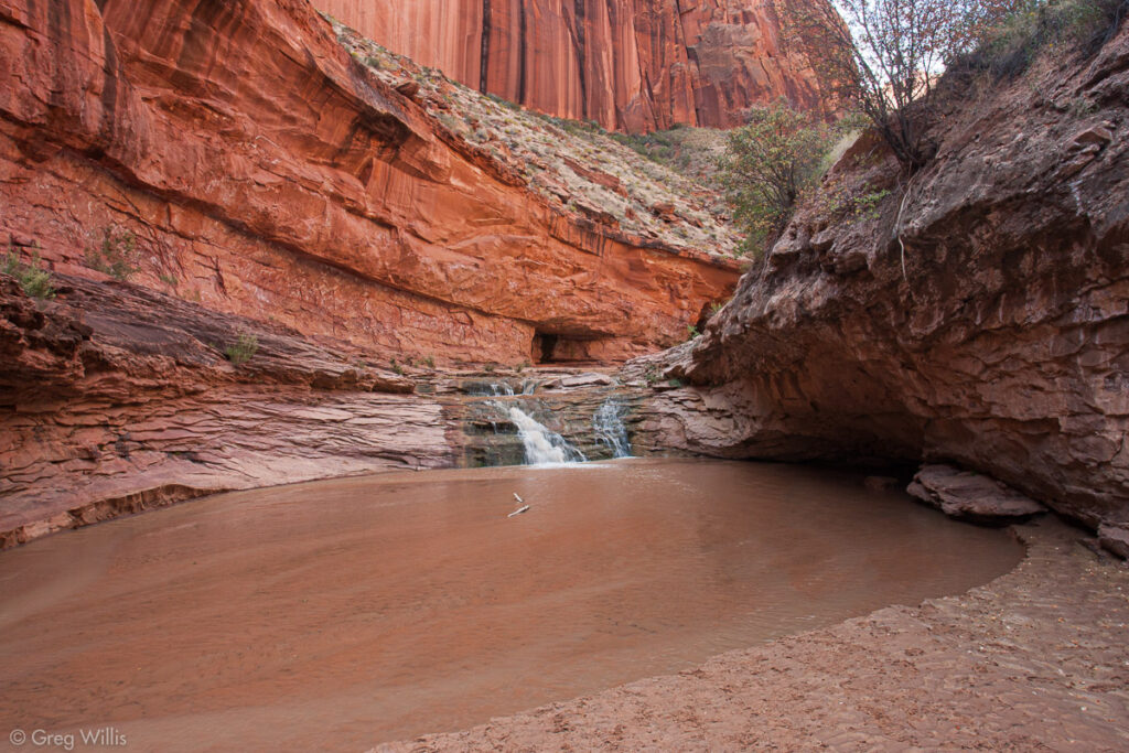
Coyote Gulch Waterfall and Pool
Coyote Natural Bridge
Dance Hall Rock [L]
dfadf
Dance Hall Rock
Storm Near Dance Hall Rock
Sooner Wash TH
Fortymile Creek/Willow Creek loop, campsites, Sooner Rocks
276 – Sooner Bench TH to Willow Creek/Fortymile Creek loop, Broken Bow Arch [L]
Sooner Slide 4WD [R] access to Fiftymile Mountain
West Fork TH Fiftymile Creek access
Davis Gulch
Hole-in-the-Rock & Lake Powell


Leave a Reply