With my climb of Capitol Peak in the rear view and with some decent September days left, I planned a trip to finish the Fourteeners in the Sawatch Range. After my mid-season Sawatch 3-Pack five remained. For two of them, you climb over & back another Fourteener to reach it. This meant that I could get the five in three climbs. Since it was the end of an active season and I was in great physical shape, I decided to do these back-to-back in consecutive days. And since they are all class 2 routes, I could do them solo.
By the end of the season, I was sick of camping. The camping I’d done was necessary to shorten the summit days, but these trailheads were totally drivable. So instead of sleeping on the ground, I’d find a place in the Arkansas Valley towns to sleep.
The other aspect was food. To pull this off, I was going to need a lot of calories. Getting a thousand calories at a restaurant was going to be a lot easier than scraping it out of a dehydrated bag. I’d stay in Buena Vista and Leadville, central to the mountains I on my list.
Mount Shavano & Tabeguache Peak
I pulled out of the garage two hours before dawn for the two hour trip to the Blank Gulch trailhead. As passed Mt Princeton & My Antero, the clouds hung low as the sun came up. The weather was going to be iffy, but only in a rain way. Not much of a chance of lightning.
First up was Mount Shavano. The route up went smoothly. The rain started above the Angel of Shavano, light & intermittent. Right before the summit I climbed into those low clouds, so not much of a view. But I had to summit Shavano twice, so maybe better luck then.
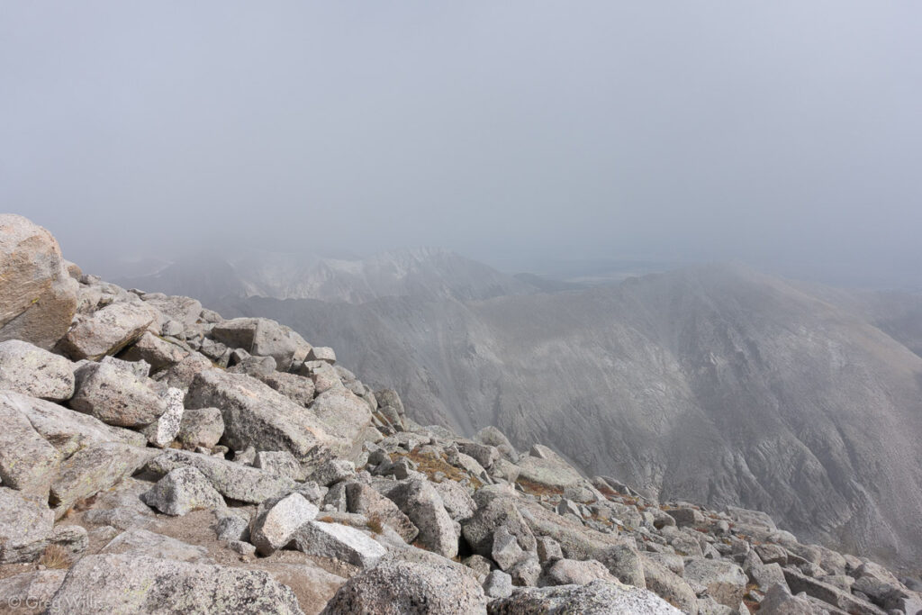
Clouds on Mount Shavano Summit 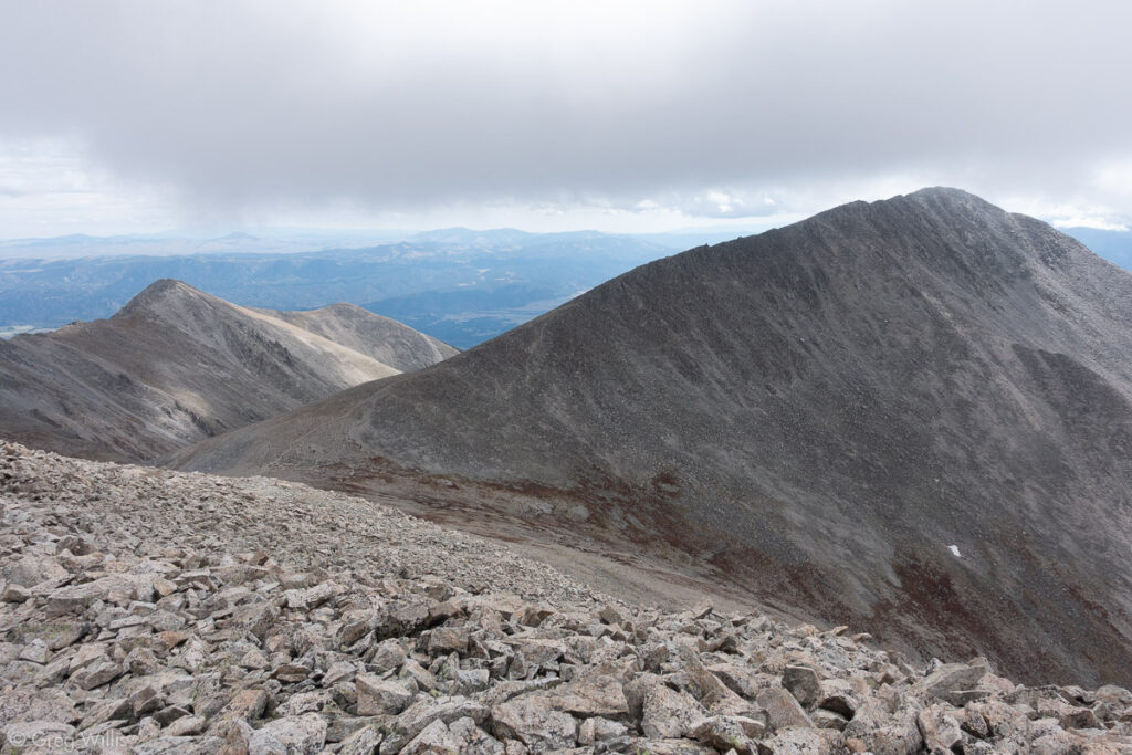
Mount Shavano from Tabeguache Peak 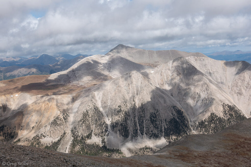
Mount Antero
I continued on and got down out of the clouds as I headed to Tabeguache Peak. It’s pronounced TAB-uh-watch and means People of Sun Mountain. But there wasn’t any sun on it today. Just those low clouds. When the clouds lifted a bit, the view of Mount Antero and the Browns Creek valley was quite nice.
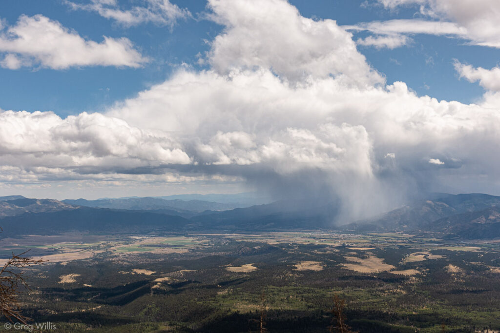
Rain on the North End of the Sangre de Cristos 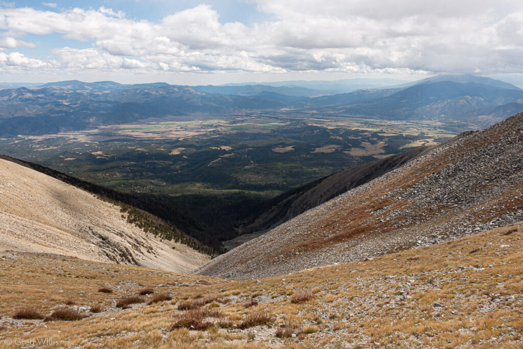
Top of the Angel of Shavano 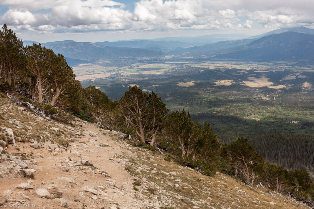
View towards Salida
On top of Tabeguache the clouds had lifted just enough to be able to see all around. And they continued to lift as I went up to re-summit Shavano and went down to make my way back to the car.
Shavano-Tabeguache from Blank Gulch
- When: 17 Sep 2019
- Distance: 10.5 mi / 16.9 km
- Total Elevation: 5,413 ft / 1,650 m
- Total Time: 7:45 hrs
- Colo 14er Rank: #29 & #25
- Difficulty: class 2
After driving to Buena Vista, I checked into the Great Western Sumac Lodge, had a shower, and repacked my gear for the next day’s climb. I walked to The Jailhouse for a beer, Eddyline Brewing for dinner, then back to the motel for an early bedtime. Just because I was staying in town didn’t mean I was going to start late, just later than if I were driving from Denver.
Mount Belford & Mount Oxford
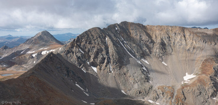
Since the drive to the Missouri Gulch trailhead was only 30 minutes away, rather than two hours, I enjoyed my extra sleep. The weather was better today with the clouds thinning out as the day progressed. There were a lot of switchbacks. Get out of the car, cross Clear Creek, then up the switchbacks. Pass the cabin, get to upper Missouri Gulch, then up more switchbacks. I slogged up the final 2,000’ to the summit, finally seeing the north side of Missouri Mountain, which I climbed from the other side during my Sawatch 3-Pack trip earlier in the season. I also saw the big down and up of the route to Oxford, a route I would get to do twice.
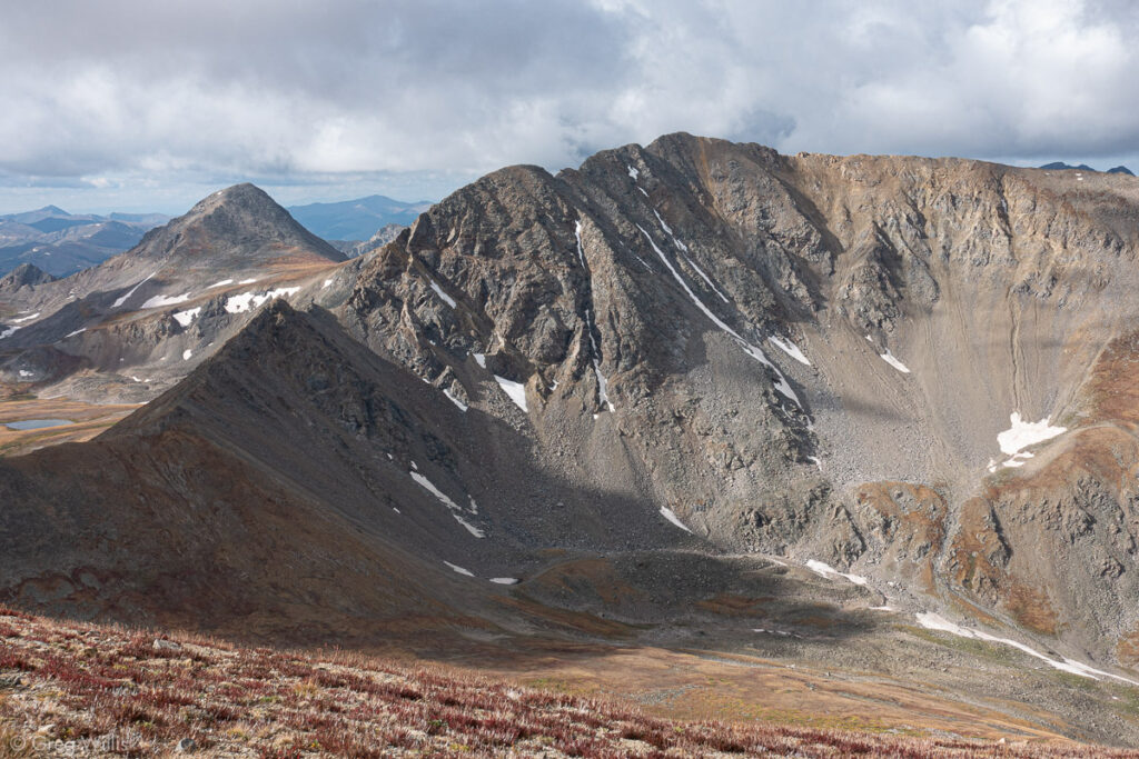
Missouri Mountain from Mt Belford 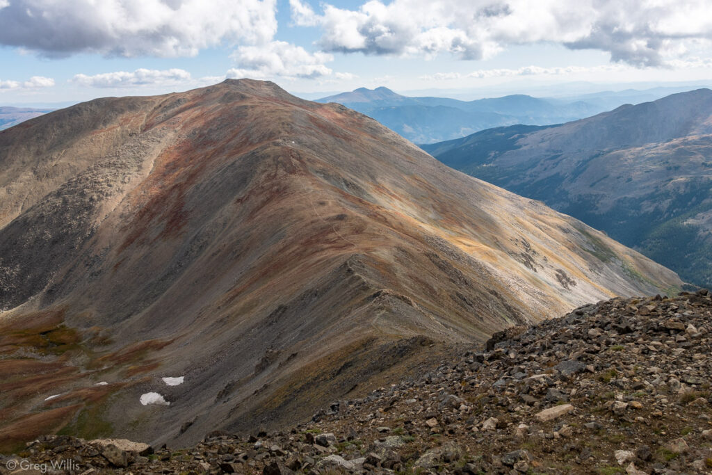
Mt Oxford from the Slopes of Mt Belford
The out-and-back to Oxford, well at least it didn’t have any switchbacks. It really was the essence of the Sawatch range: an exhausting slog to another view of the Arkansas Valley. Soon enough I was switchbacking down Belford. The panorama of Missouri Gulch, however, was sublime.
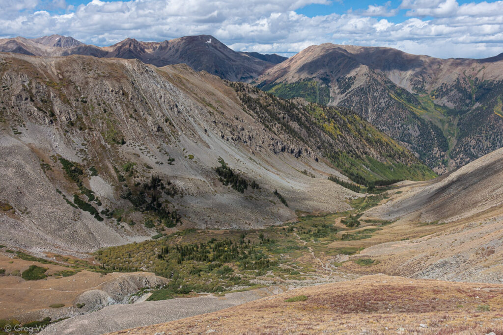
Missouri Gulch 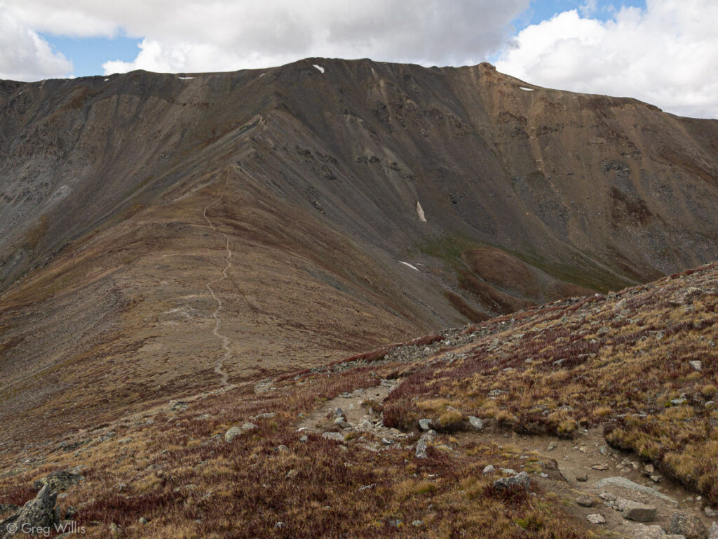
Mt Belford from the Slopes of Mt Oxford 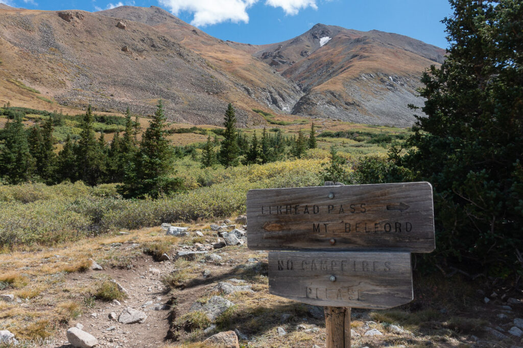
Mt Belford from Missouri Gulch
Belford-Oxford from Missouri Gulch
- When: 18 Sep 2019
- Distance: 9.8 mi / 15.8 km
- Total Elevation: 5,967 ft / 1,819 m
- Total Time: 8:00 hrs
- Colo 14er Rank: #19 & #26
- Difficulty: class 2
My stay for this night was Leadville. I stayed at Inn the Clouds Hostel & Inn. With a great common area and a huge kitchen, this would be a great place to hostel. But I was not hosteling, I was crashing. Needing reliable sleep and an early departure, I booked a single room and not a dorm bed. I showered, had a couple of beers at the now-closed Periodic Brewing, then pizza at High Mountain Pies. The single room worked our perfectly.
Mount of the Holy Cross (Halo Loop) from Half Moon
It took me a few minutes of searching in the dark to find the correct trail at Half Moon trailhead. Since I did two out-and-backs already on this trip, for Mount of the Holy Cross (MHC, for short) I was going to do a loop. And to do a loop I needed not the Half Moon trail, but Fall Creek. Since this was my last day and I wanted to get home at a decent hour, I started from Leadville at 04:00 and found the trail around 05:00. I’d have at least an hour in the dark.
The Fall Creek trail was perfect for headlamp hiking. Up a hillside from its namesake, it was straight and steady incline. By the time I’d reached the serious ascent section, the sun had risen. Switchhacks again, but they didn’t seem as arduous as the ones on Belford. As I reached the ridge and the Notch Mountain shelter, the sun was still low and cast long shadows towards the mountain. The standard route of MHC does not give you a view of the Cross Couloir, so one of the reasons I wanted to climb this route is to get this view.
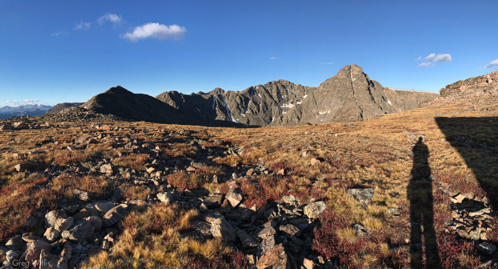
And it did not disappoint.
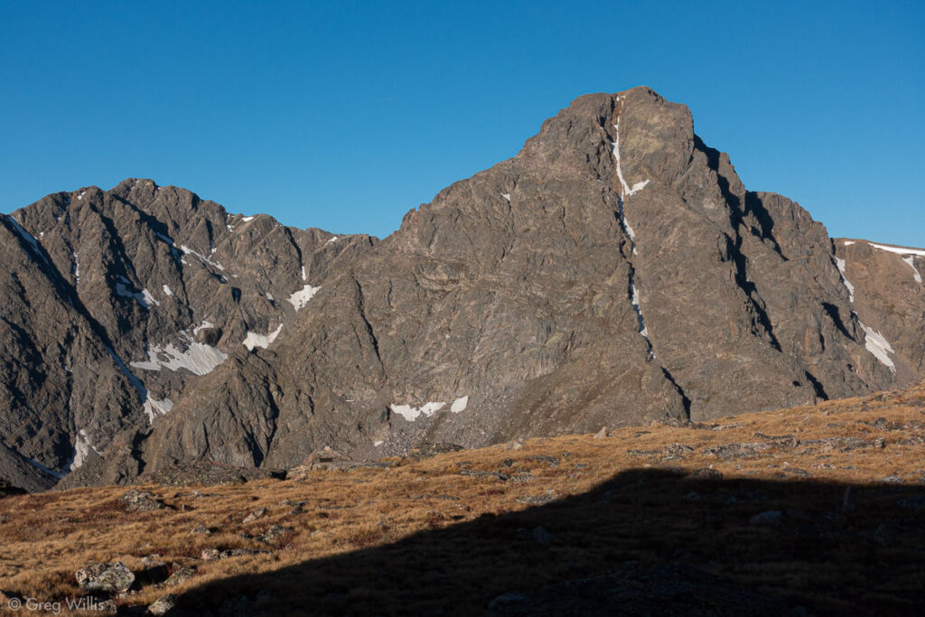
Mt Holy Cross and the Cross Couloir 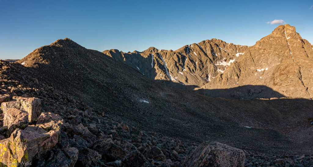
Halo Ridge to Mt Holy Cross
The warm-up was over and the rest of the route to the summit was plain to see. The Halo Ridge started to my left, wrapped around the Bowl of Tears basin, and ended atop MHC. The ridge was no walk in the park — it wasn’t even a walk. It was a class 2 & class 2+ rock-hopping time-consuming extravaganza, with more false summits than you can shake a stick at, if you happen to be carrying a stick.
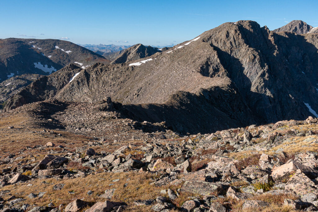
The Start of Halo Ridge 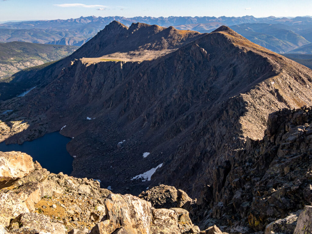
Looking Back at Halo Ridge and the Bowl of Tears Below 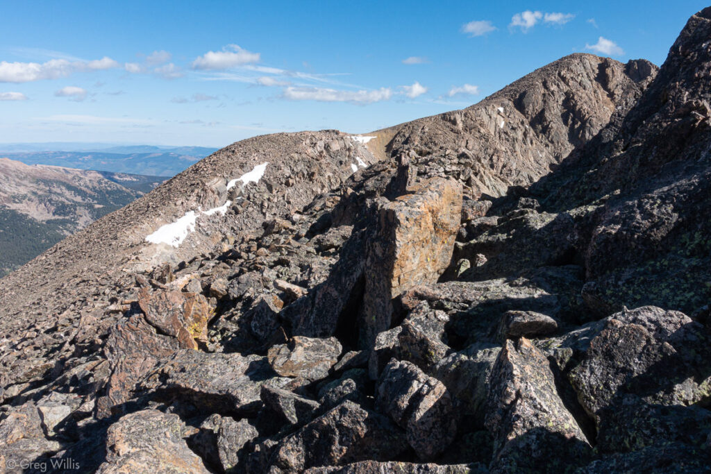
The Last of Halo Ridge before Mt Holy Cross
It took a while, but I made the summit and had a break. This was my final Sawatch Fourteener, and from the top I could see a smattering of the others in this range that I climbed. Although not my favorite range, it’s the one I’d spent the most time in. I gave a bittersweet farewell to the fifteen mountains before starting down.
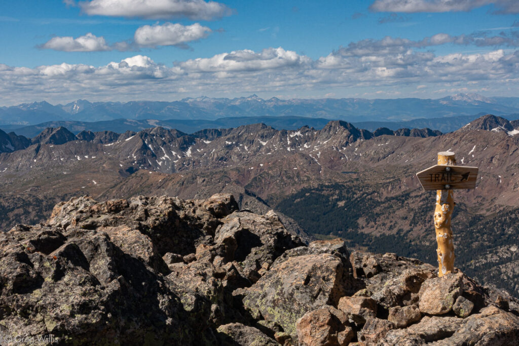
Mt Holy Cross Summit 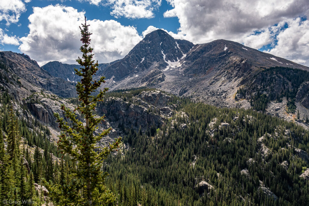
Mt Holy Cross Going Up to Half Moon Pass
The route down was well-constructed and well-marked with huge cairns, wending its way down to East Cross Creek. Between the creek and the car lay Half Moon Pass, a thousand foot ascent that I’d been dreading. Another reason I took the Halo Ridge was to avoid this additional elevation on the way in. I think it would be safe to say that this last climb was the hardest thousand of the trip.
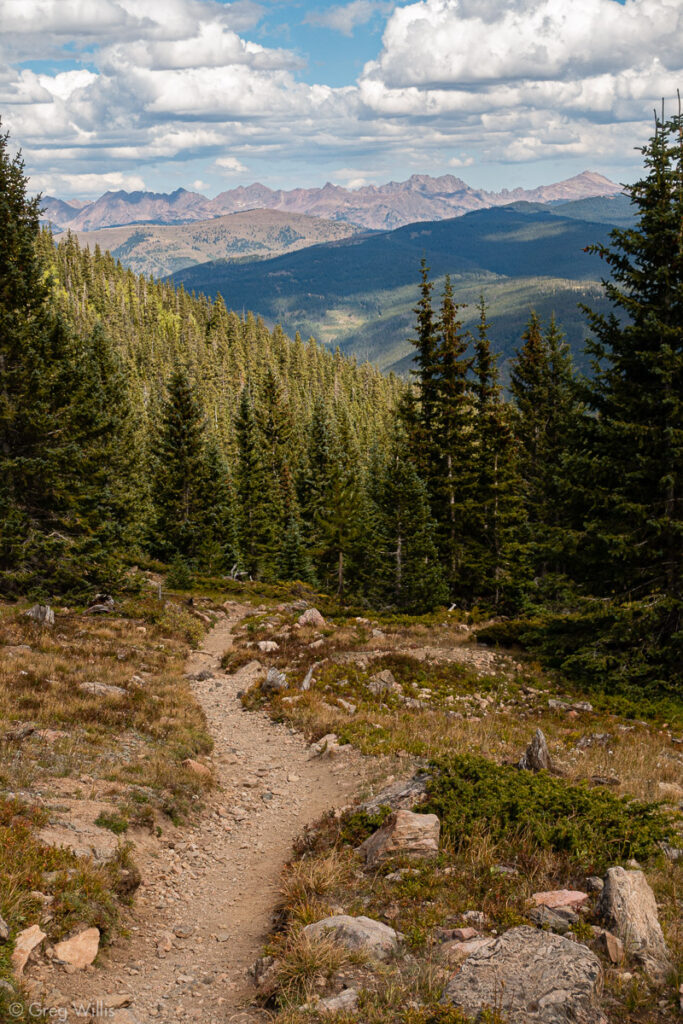
As I welcomed the crest and descent, I took a sigh (a couple, TBH) of relief. My season was done, and all that was left was the drive home.
Mount of the Holy Cross (Halo Loop) from Half Moon
- When: 19 Sep 2019
- Distance: 13.3 mi / 21.4 km
- Total Elevation: 5,407 ft / 1,648 m
- Total Time: 9:30 hrs
- Colo 14er Rank: #51
- Difficulty: class 2
It was a well-planned itinerary well executed. Efficient use of time. Staying in towns for eating & sleeping was a real plus. I completed the Sawatch Fourteeners with an epic (for me) effort. Over a mile of elevation a day for three days straight — at my age probably not going to do that again. This will set me up for being able to complete the Fourteeners in 2020. What could possibly go awry.
Three Day total
- Distance: 33.6 mi / 54.1 km
- Total Elevation: 16,787 ft / 5,117 m (3.2 mi)
- Total Time: 25:15 hrs

Leave a Reply